Every diagram on Greece Trips is drawn by hand on our own design system and released under a Creative Commons Attribution 4.0 licence. That means you are free to reuse any of them, on a blog, in a class, in a guidebook or anywhere else, for any purpose including commercial, as long as you credit Greece Trips with a link. The credit is the only thing we ask, and it is the whole point: these are here to be used.
Below are all 602 of them, grouped by what they explain, each with a short description and a link to the article it was drawn for. To reuse one, follow its SVG link and save the file; the attribution and licence are embedded inside the file itself, so the credit travels with it.
How to credit: “Diagram by Greece Trips, CC BY 4.0.” A visible line near the image, or a caption, is perfect.
Island comparisons
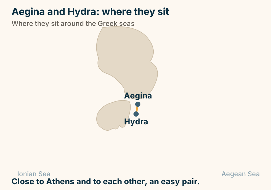
Aegina and Hydra: where they sit in Greece. Aegina and Hydra are marked close together, joined by a solid line, showing they pair easily on one trip. Close to Athens and to each other, an easy pair. Explained on Aegina vs Hydra: which island day trip from Athens. SVG · CC BY 4.0.
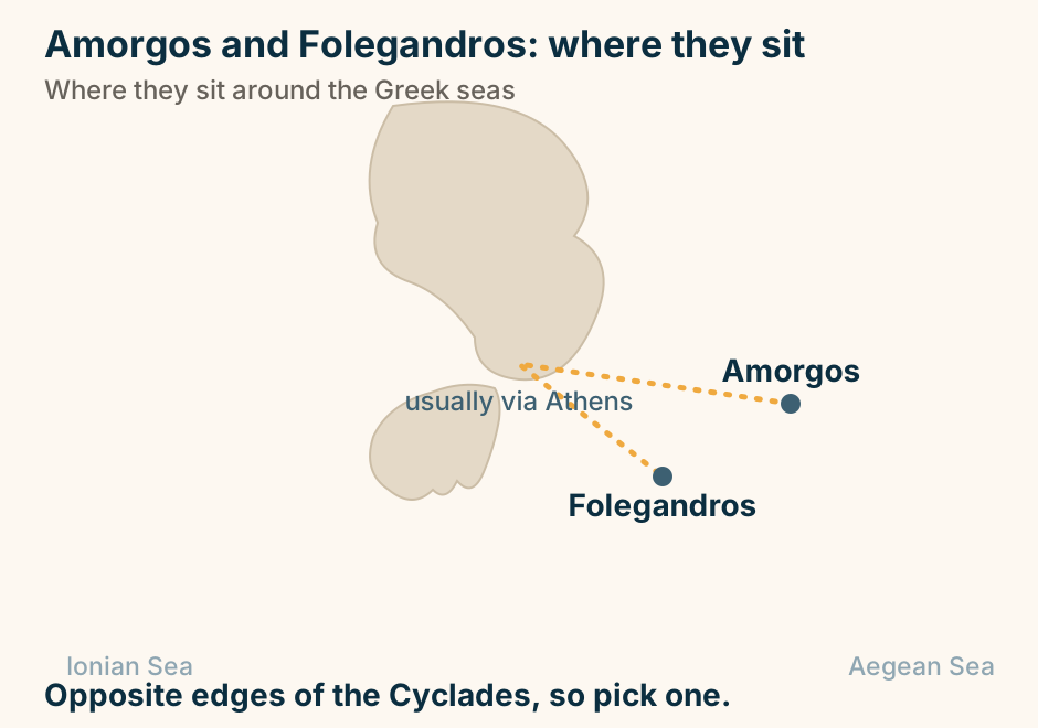
Amorgos and Folegandros: where they sit in Greece. Amorgos and Folegandros are marked far apart, joined only by a dashed route through Athens, showing there is no direct hop. Opposite edges of the Cyclades, so pick one. Explained on Amorgos vs Folegandros: which dramatic quiet island. SVG · CC BY 4.0.
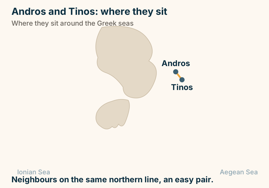
Andros and Tinos: where they sit in Greece. Andros and Tinos are marked close together, joined by a solid line, showing they pair easily on one trip. Neighbours on the same northern line, an easy pair. Explained on Andros vs Tinos: walking, or marble and food. SVG · CC BY 4.0.
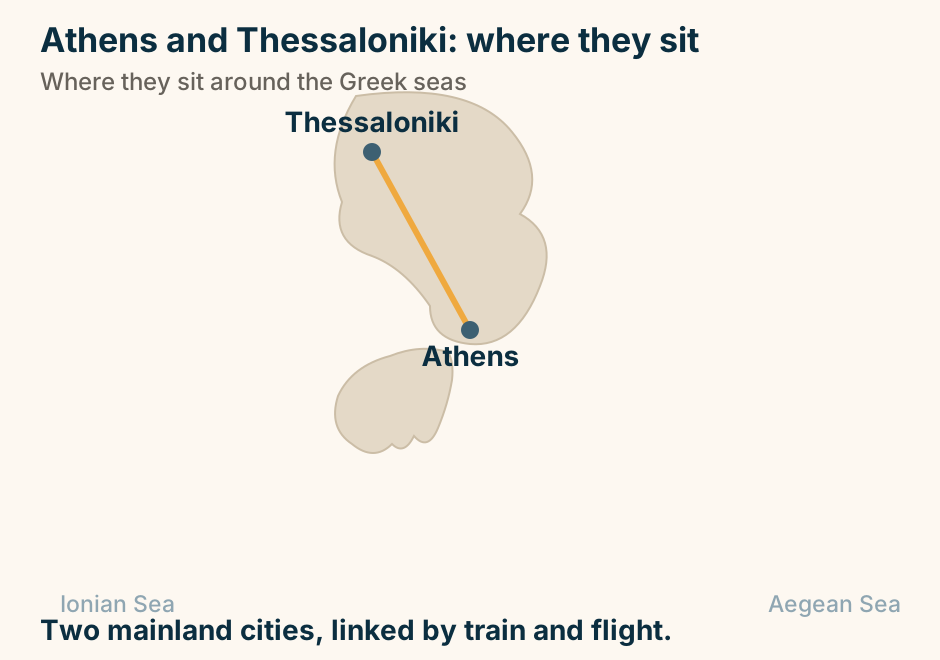
Athens and Thessaloniki: where they sit in Greece. Athens and Thessaloniki are marked close together, joined by a solid line, showing they pair easily on one trip. Two mainland cities, linked by train and flight. Explained on Athens vs Thessaloniki: which city to build the trip around. SVG · CC BY 4.0.
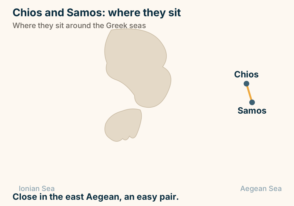
Chios and Samos: where they sit in Greece. Chios and Samos are marked close together, joined by a solid line, showing they pair easily on one trip. Close in the east Aegean, an easy pair. Explained on Samos vs Chios: mountains and wine, or mastic and mosaics. SVG · CC BY 4.0.
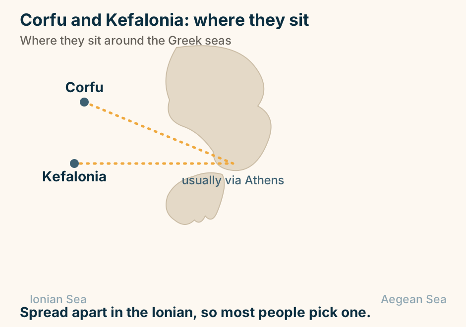
Corfu and Kefalonia: where they sit in Greece. Corfu and Kefalonia are marked far apart, joined only by a dashed route through Athens, showing there is no direct hop. Spread apart in the Ionian, so most people pick one. Explained on Corfu vs Kefalonia: which Ionian island is right for you. SVG · CC BY 4.0.
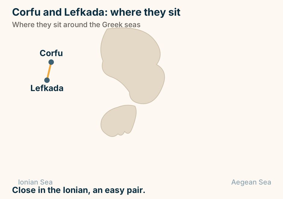
Corfu and Lefkada: where they sit in Greece. Corfu and Lefkada are marked close together, joined by a solid line, showing they pair easily on one trip. Close in the Ionian, an easy pair. Explained on Corfu vs Lefkada: a layered old town, or a road trip. SVG · CC BY 4.0.
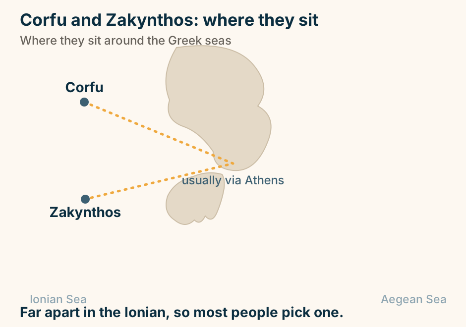
Corfu and Zakynthos: where they sit in Greece. Corfu and Zakynthos are marked far apart, joined only by a dashed route through Athens, showing there is no direct hop. Far apart in the Ionian, so most people pick one. Explained on Corfu vs Zakynthos: a rounded island week, or the famous beaches?. SVG · CC BY 4.0.
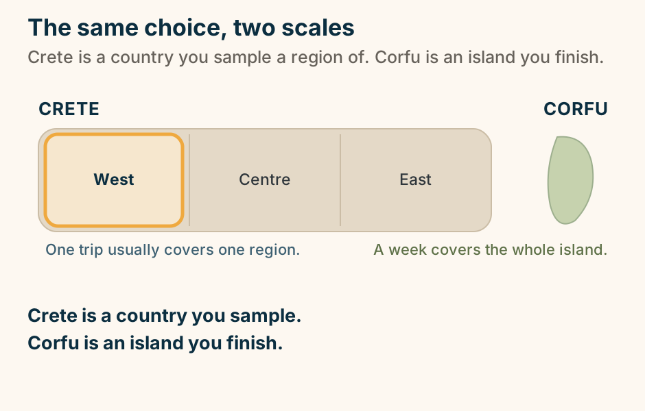
Crete and Corfu at the same scale: a huge island you see one region of per trip, beside a small one a week covers whole. A schematic scale comparison of two Greek islands, not to scale in detail but true in proportion. On the left, Crete is drawn as a long landmass divided into three regions labelled West, Centre and East, with the West region outlined to show that a single trip usually covers just one region. On the right, and much smaller, Corfu is drawn as one whole island a week can cover. Crete is a country you sample, Corfu is an island you finish. Explained on Crete vs Corfu: the island that’s a country, or the one you can see in a week?. SVG · CC BY 4.0.
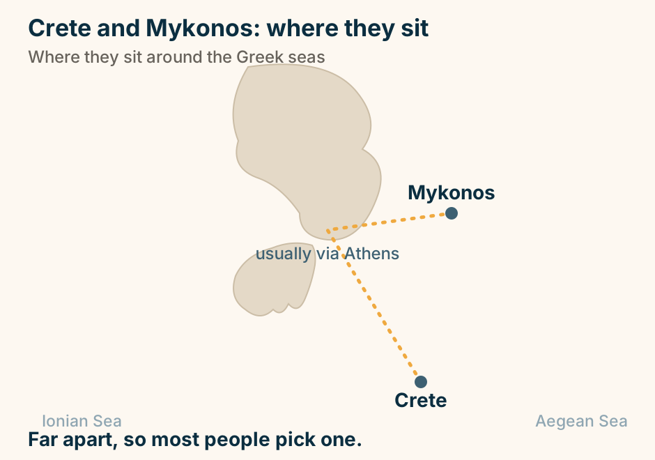
Crete and Mykonos: where they sit in Greece. Crete and Mykonos are marked far apart, joined only by a dashed route through Athens, showing there is no direct hop. Far apart, so most people pick one. Explained on Crete vs Mykonos: a whole varied island, or the scene?. SVG · CC BY 4.0.
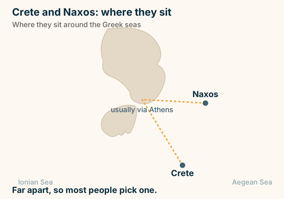
Crete and Naxos: where they sit in Greece. Crete and Naxos are marked far apart, joined only by a dashed route through Athens, showing there is no direct hop. Far apart, so most people pick one. Explained on Crete vs Naxos: the island that’s a country, or a settle-in Cyclades week?. SVG · CC BY 4.0.
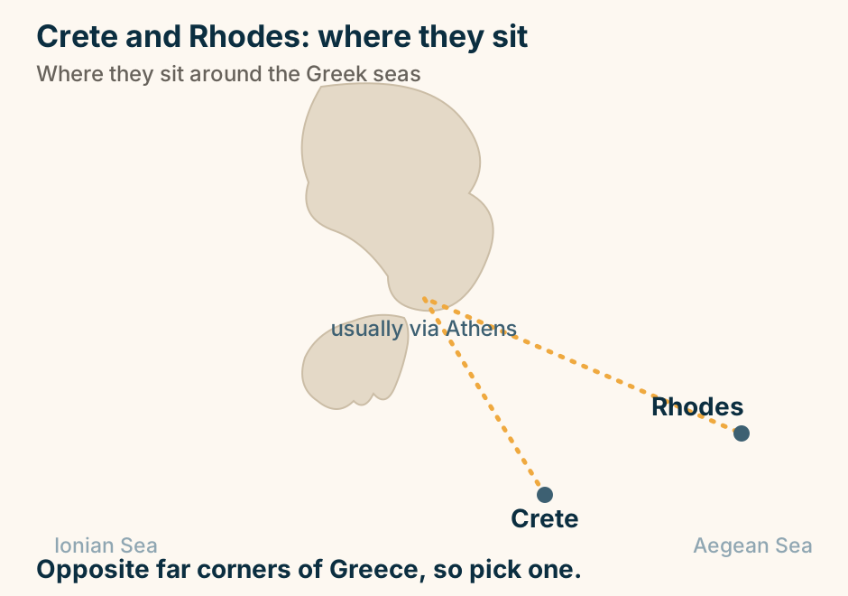
Crete and Rhodes: where they sit in Greece. Crete and Rhodes are marked far apart, joined only by a dashed route through Athens, showing there is no direct hop. Opposite far corners of Greece, so pick one. Explained on Crete vs Rhodes: which island is right for your trip. SVG · CC BY 4.0.
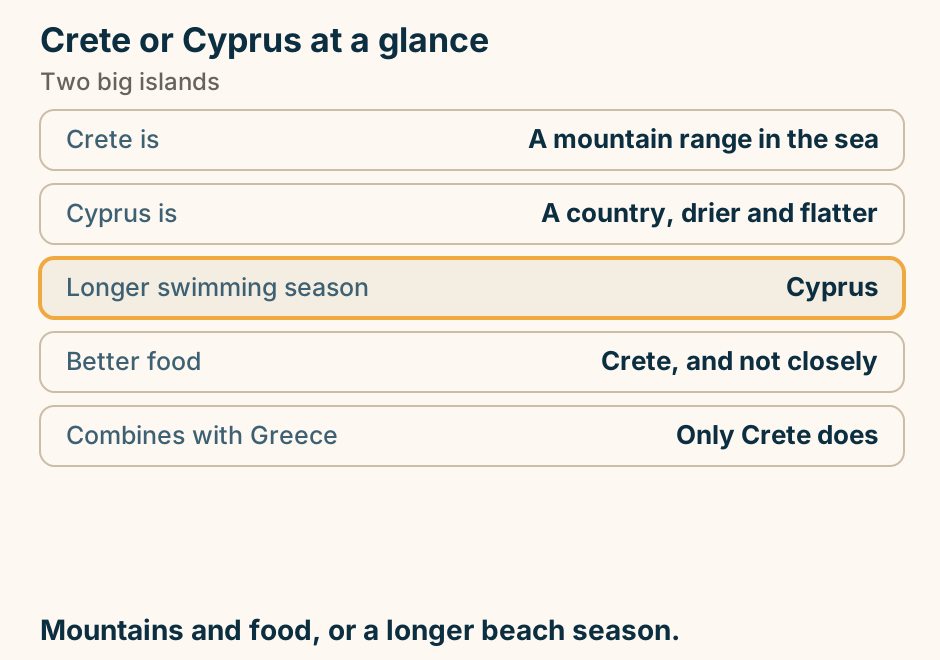
Crete or Cyprus at a glance. Crete is: A mountain range in the sea. Cyprus is: A country, drier and flatter. Longer swimming season: Cyprus. Better food: Crete, and not closely. Combines with Greece: Only Crete does. Mountains and food, or a longer beach season. Explained on Crete or Cyprus: which big island suits your trip. SVG · CC BY 4.0.
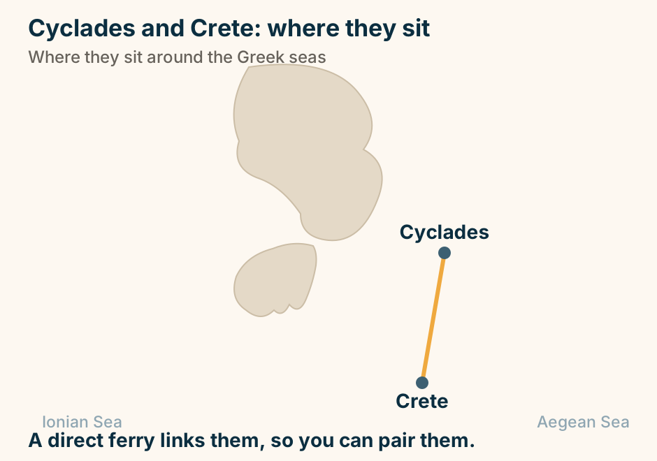
Cyclades and Crete: where they sit in Greece. Cyclades and Crete are marked close together, joined by a solid line, showing they pair easily on one trip. A direct ferry links them, so you can pair them. Explained on Cyclades vs Crete: hop the islands, or tour one big one?. SVG · CC BY 4.0.
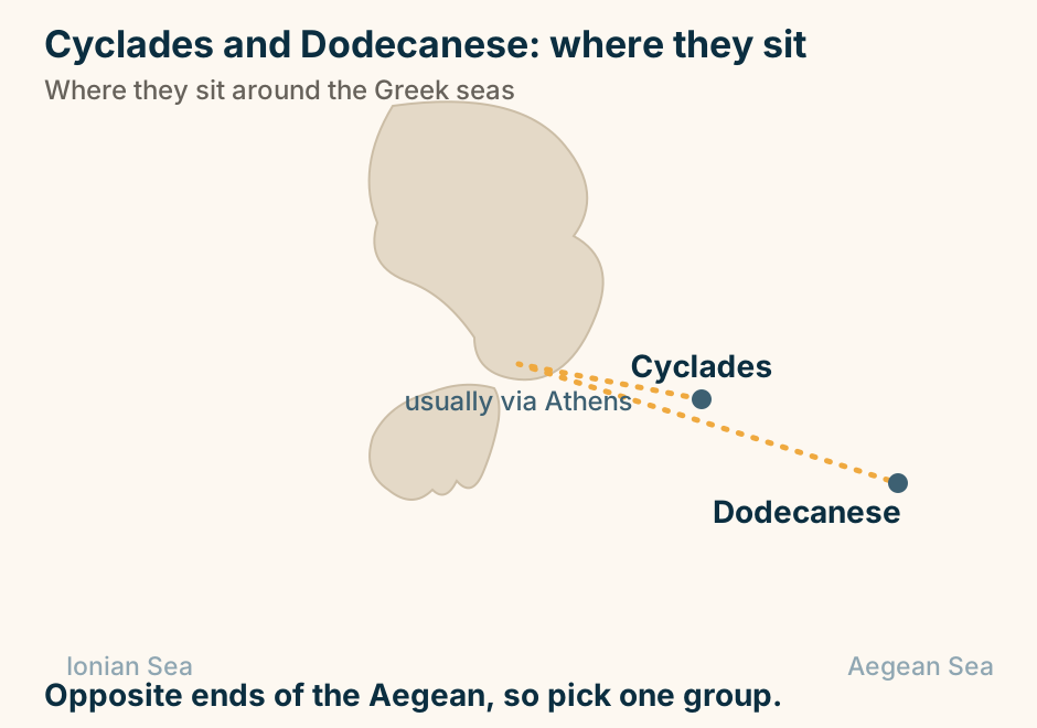
Cyclades and Dodecanese: where they sit in Greece. Cyclades and Dodecanese are marked far apart, joined only by a dashed route through Athens, showing there is no direct hop. Opposite ends of the Aegean, so pick one group. Explained on Cyclades vs Dodecanese: which Greek island group is your trip?. SVG · CC BY 4.0.
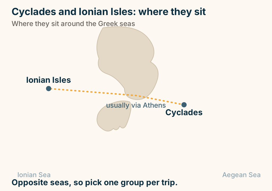
Cyclades and Ionian Isles: where they sit in Greece. Cyclades and Ionian Isles are marked far apart, joined only by a dashed route through Athens, showing there is no direct hop. Opposite seas, so pick one group per trip. Explained on Cyclades vs Ionian islands: the white postcard, or green and lush?. SVG · CC BY 4.0.
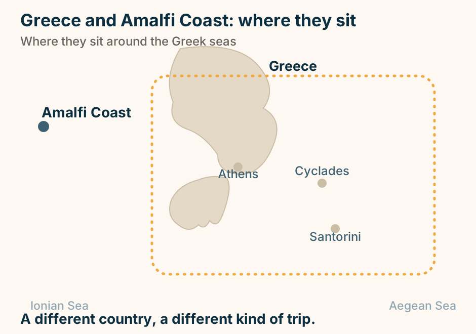
Greece and Amalfi Coast: where they sit. A schematic map with Greece gathered inside a marked frame in the centre and east, its anchor points Athens, the Cyclades and Santorini shown, and Amalfi Coast marked separately to the west. A different country, a different kind of trip. Explained on Santorini vs the Amalfi Coast: an island, or an Italian coast?. SVG · CC BY 4.0.
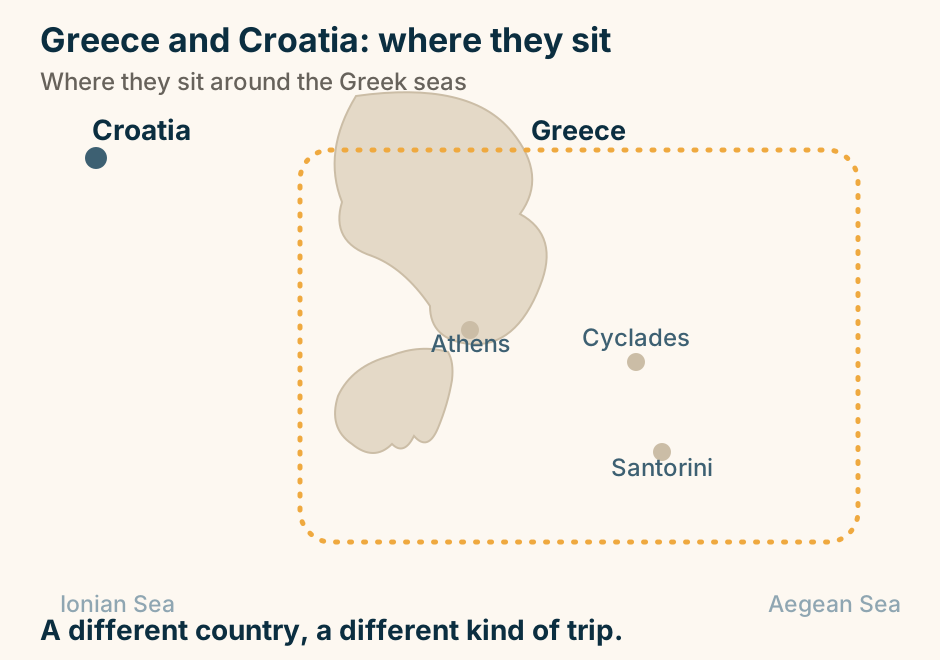
Greece and Croatia: where they sit. A schematic map with Greece gathered inside a marked frame in the centre and east, its anchor points Athens, the Cyclades and Santorini shown, and Croatia marked separately to the west. A different country, a different kind of trip. Explained on Greek islands vs Croatia: which one is your trip?. SVG · CC BY 4.0.
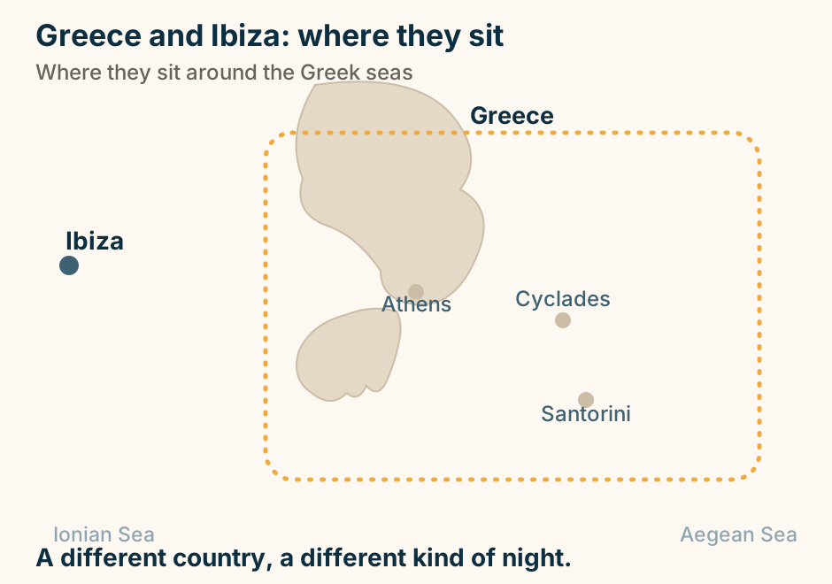
Greece and Ibiza: where they sit. A schematic map with Greece gathered inside a marked frame in the centre and east, its anchor points Athens, the Cyclades and Santorini shown, and Ibiza marked separately to the west. A different country, a different kind of night. Explained on Mykonos vs Ibiza: two party islands, two very different nights. SVG · CC BY 4.0.
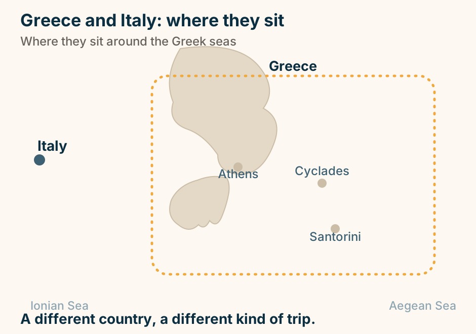
Greece and Italy: where they sit. A schematic map with Greece gathered inside a marked frame in the centre and east, its anchor points Athens, the Cyclades and Santorini shown, and Italy marked separately to the west. A different country, a different kind of trip. Explained on Greece or Italy vacation: which one fits your trip. SVG · CC BY 4.0.
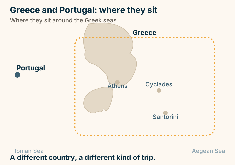
Greece and Portugal: where they sit. A schematic map with Greece gathered inside a marked frame in the centre and east, its anchor points Athens, the Cyclades and Santorini shown, and Portugal marked separately to the west. A different country, a different kind of trip. Explained on Greece or Portugal: which trip are you actually booking. SVG · CC BY 4.0.
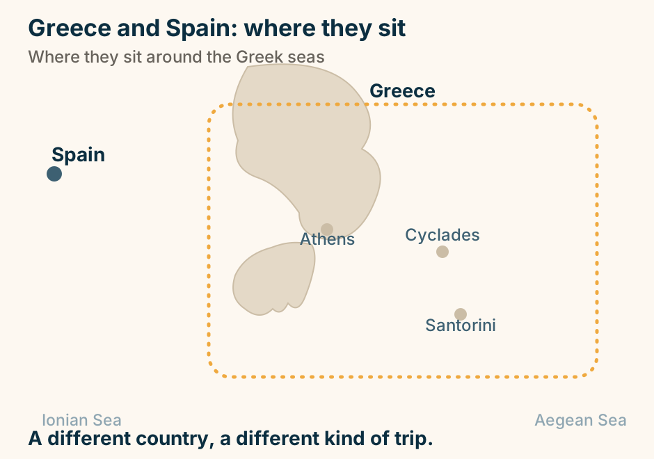
Greece and Spain: where they sit. A schematic map with Greece gathered inside a marked frame in the centre and east, its anchor points Athens, the Cyclades and Santorini shown, and Spain marked separately to the west. A different country, a different kind of trip. Explained on Greece or Spain: which Mediterranean trip suits you. SVG · CC BY 4.0.
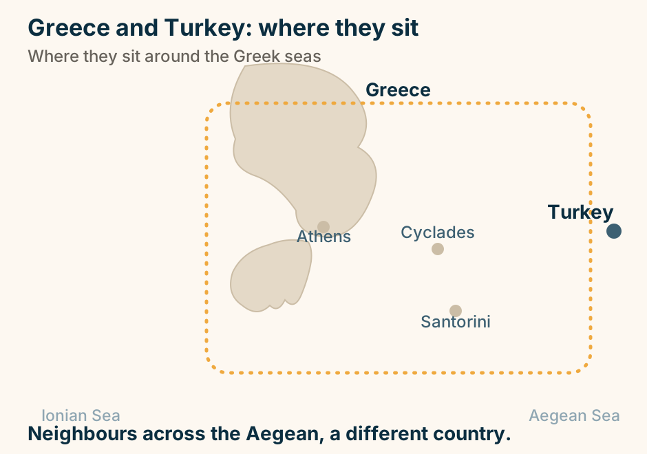
Greece and Turkey: where they sit. A schematic map with Greece gathered inside a marked frame in the centre and east, its anchor points Athens, the Cyclades and Santorini shown, and Turkey marked separately to the west. Neighbours across the Aegean, a different country. Explained on Greece vs Turkey: island-hopping, or a bigger country to tour?. SVG · CC BY 4.0.
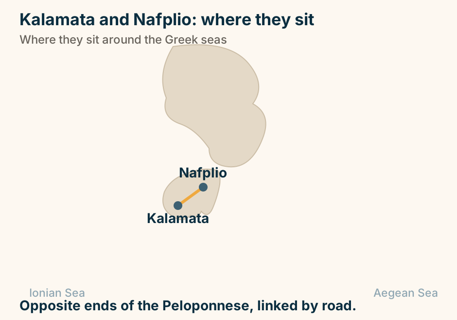
Hydra and Spetses: where they sit in Greece. Hydra and Spetses are marked close together, joined by a solid line, showing they pair easily on one trip. Neighbours in the Saronic, an easy pair. Explained on Hydra vs Spetses: which Saronic island to choose. SVG · CC BY 4.0.
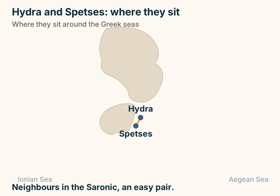
Ios and Mykonos: where they sit in Greece. Ios and Mykonos are marked close together, joined by a solid line, showing they pair easily on one trip. Close in the Cyclades, an easy pair. Explained on Ios vs Mykonos: the young, cheap party, or the glossy scene?. SVG · CC BY 4.0.
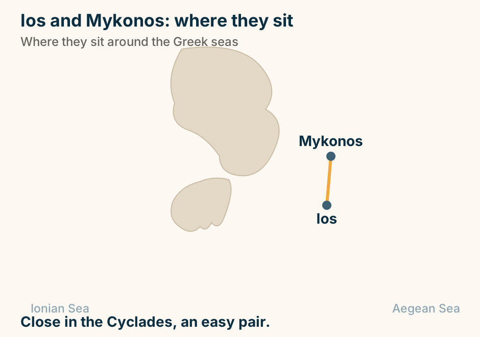
Ios and Santorini: where they sit in Greece. Ios and Santorini are marked close together, joined by a solid line, showing they pair easily on one trip. Neighbours on the same line, an easy pair. Explained on Santorini vs Ios: the caldera, or the cheaper island next door. SVG · CC BY 4.0.
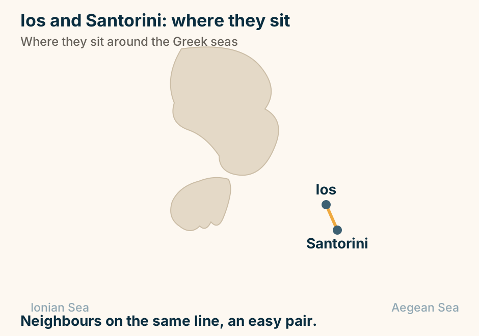
Kalamata and Nafplio: where they sit in Greece. Kalamata and Nafplio are marked close together, joined by a solid line, showing they pair easily on one trip. Opposite ends of the Peloponnese, linked by road. Explained on Kalamata vs Nafplio: which end of the Peloponnese. SVG · CC BY 4.0.
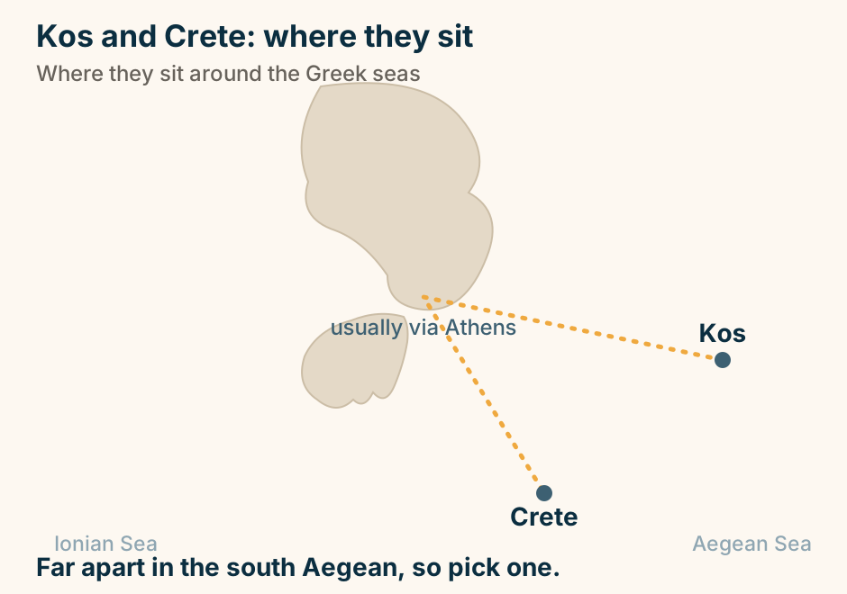
Kos and Crete: where they sit in Greece. Kos and Crete are marked far apart, joined only by a dashed route through Athens, showing there is no direct hop. Far apart in the south Aegean, so pick one. Explained on Crete vs Kos: range, or ease. SVG · CC BY 4.0.
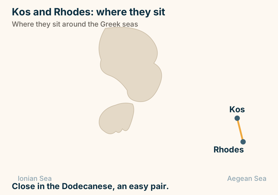
Kos and Rhodes: where they sit in Greece. Kos and Rhodes are marked close together, joined by a solid line, showing they pair easily on one trip. Close in the Dodecanese, an easy pair. Explained on Kos vs Rhodes: which island is right for your trip. SVG · CC BY 4.0.
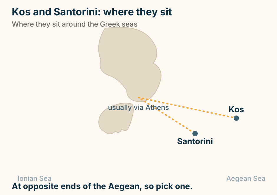
Kos and Santorini: where they sit in Greece. Kos and Santorini are marked far apart, joined only by a dashed route through Athens, showing there is no direct hop. At opposite ends of the Aegean, so pick one. Explained on Kos vs Santorini: an easy beach island, or the caldera icon?. SVG · CC BY 4.0.
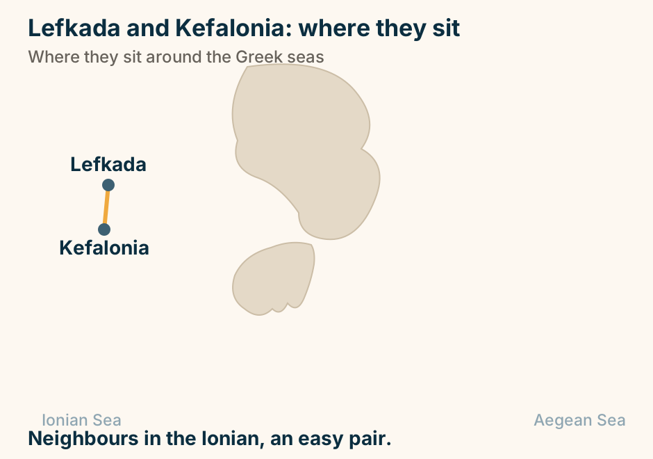
Lefkada and Kefalonia: where they sit in Greece. Lefkada and Kefalonia are marked close together, joined by a solid line, showing they pair easily on one trip. Neighbours in the Ionian, an easy pair. Explained on Lefkada vs Kefalonia: the easy beach run, or the bigger island?. SVG · CC BY 4.0.
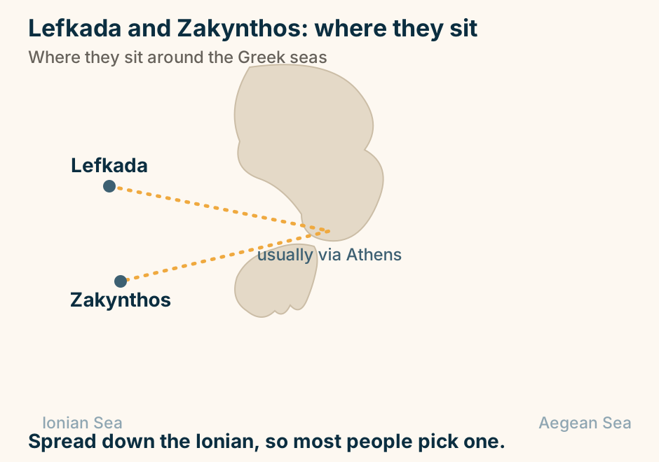
Lefkada and Zakynthos: where they sit in Greece. Lefkada and Zakynthos are marked far apart, joined only by a dashed route through Athens, showing there is no direct hop. Spread down the Ionian, so most people pick one. Explained on Lefkada vs Zakynthos: which Ionian beach island. SVG · CC BY 4.0.
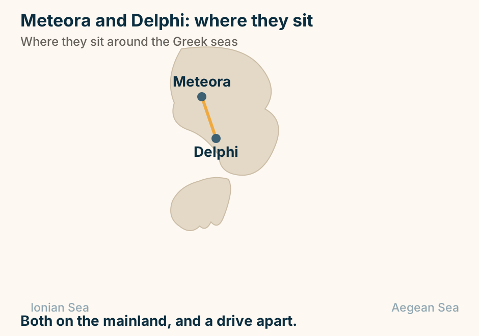
Meteora and Delphi: where they sit in Greece. Meteora and Delphi are marked close together, joined by a solid line, showing they pair easily on one trip. Both on the mainland, and a drive apart. Explained on Meteora vs Delphi: which mainland trip is worth your days. SVG · CC BY 4.0.
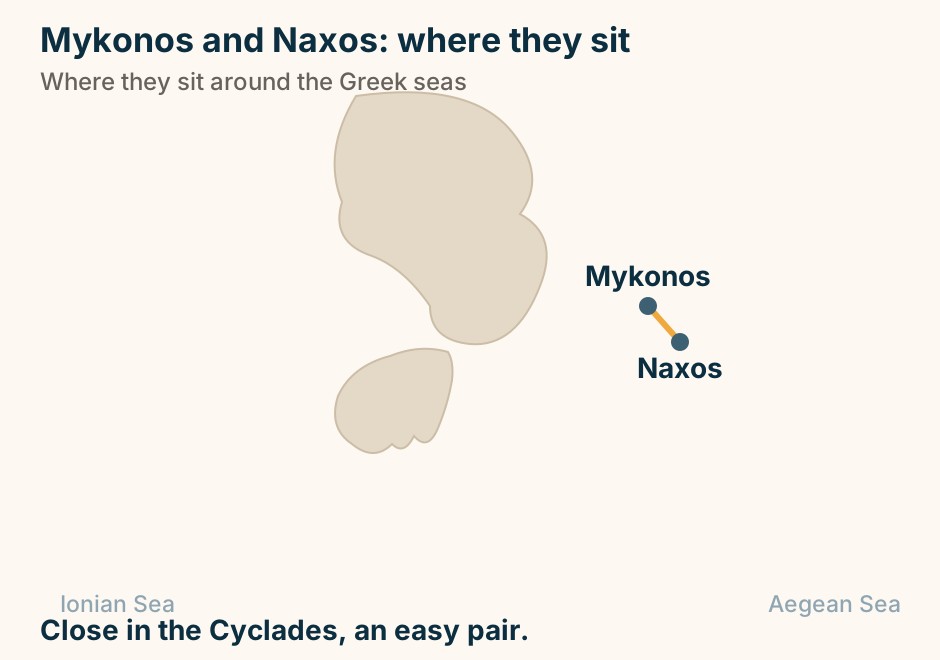
Mykonos and Naxos: where they sit in Greece. Mykonos and Naxos are marked close together, joined by a solid line, showing they pair easily on one trip. Close in the Cyclades, an easy pair. Explained on Mykonos vs Naxos: the party island, or a week you can live in?. SVG · CC BY 4.0.
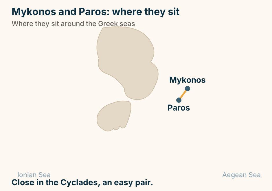
Mykonos and Paros: where they sit in Greece. Mykonos and Paros are marked close together, joined by a solid line, showing they pair easily on one trip. Close in the Cyclades, an easy pair. Explained on Mykonos vs Paros: the full scene, or a night out and everything else?. SVG · CC BY 4.0.
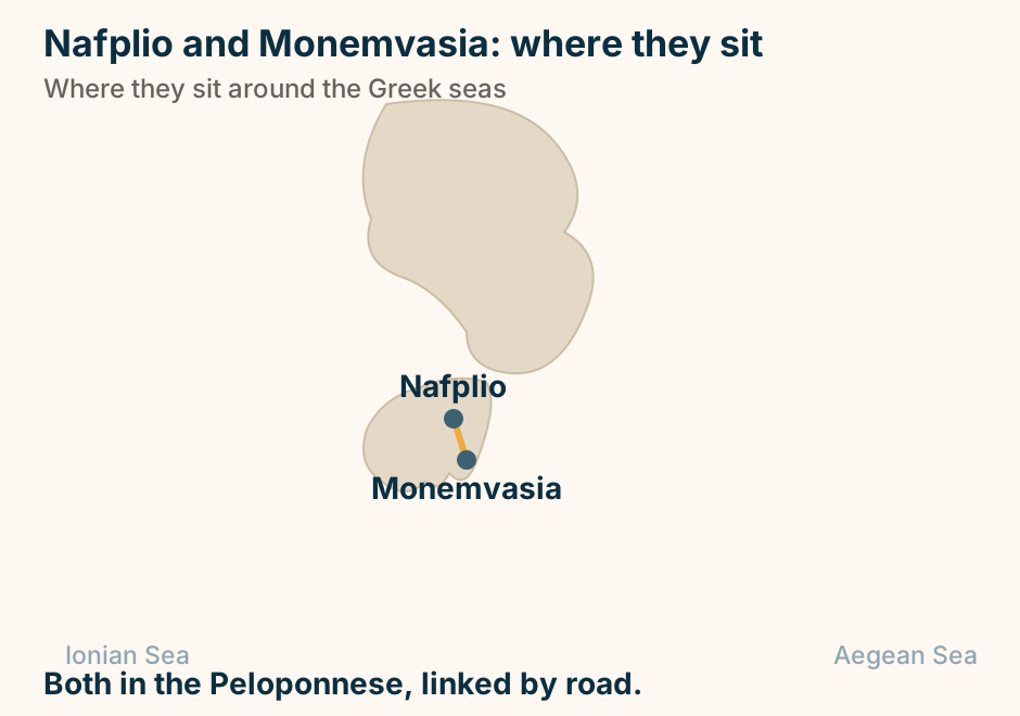
Nafplio and Monemvasia: where they sit in Greece. Nafplio and Monemvasia are marked close together, joined by a solid line, showing they pair easily on one trip. Both in the Peloponnese, linked by road. Explained on Nafplio vs Monemvasia: which Peloponnese old town. SVG · CC BY 4.0.
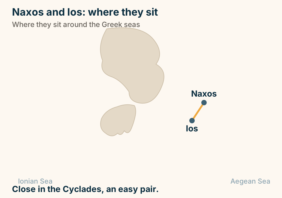
Naxos and Ios: where they sit in Greece. Naxos and Ios are marked close together, joined by a solid line, showing they pair easily on one trip. Close in the Cyclades, an easy pair. Explained on Naxos vs Ios: which Cyclades island is your trip. SVG · CC BY 4.0.
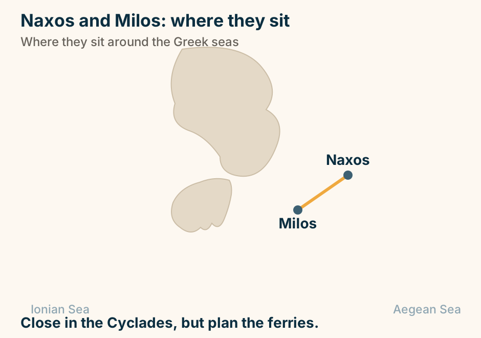
Naxos and Milos: where they sit in Greece. Naxos and Milos are marked close together, joined by a solid line, in different corners of the Cyclades. Close in the Cyclades, but plan the ferries. Explained on Naxos vs Milos: comfortable sand, or a dramatic volcanic coast?. SVG · CC BY 4.0.
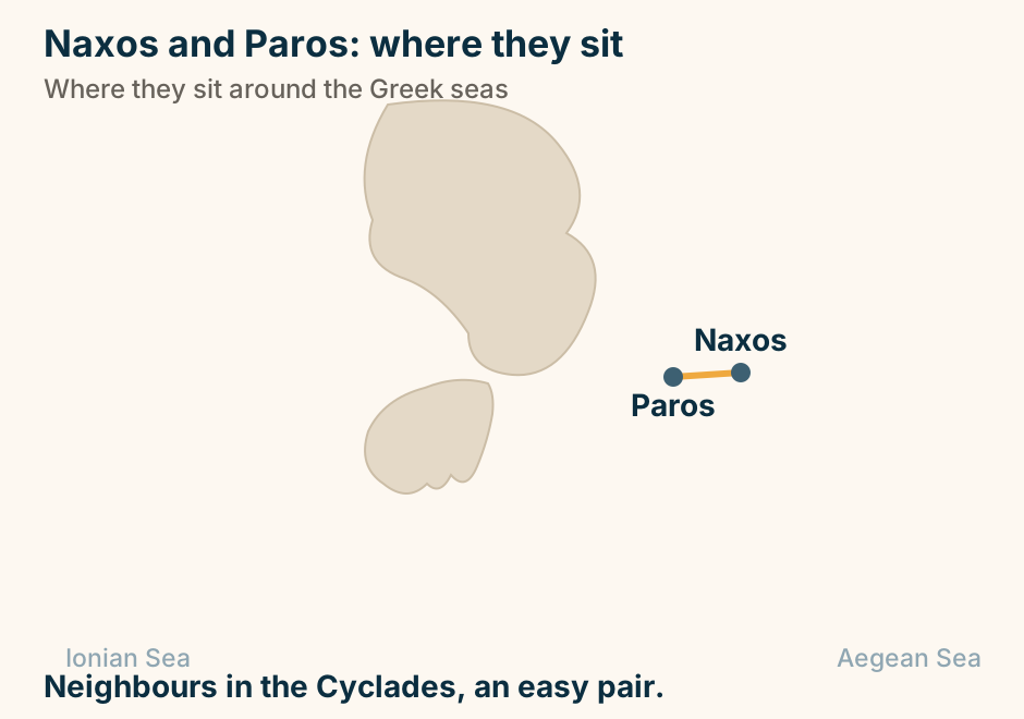
Naxos and Paros: where they sit in Greece. Naxos and Paros are marked close together, joined by a solid line, showing they pair easily on one trip. Neighbours in the Cyclades, an easy pair. Explained on Naxos vs Paros: which island fits the trip you want. SVG · CC BY 4.0.
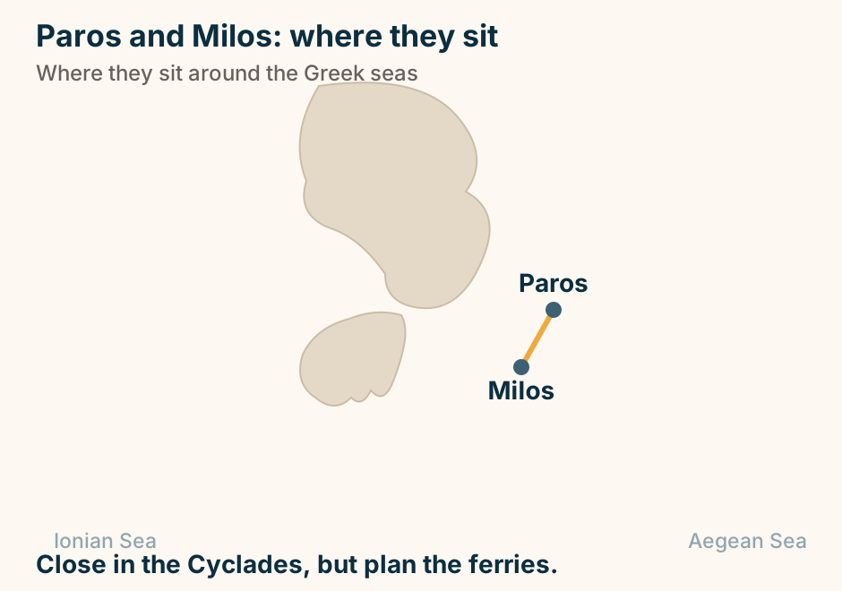
Paros and Milos: where they sit in Greece. Paros and Milos are marked close together, joined by a solid line, in different corners of the Cyclades. Close in the Cyclades, but plan the ferries. Explained on Paros vs Milos: a well-rounded base, or a dramatic volcanic coast?. SVG · CC BY 4.0.
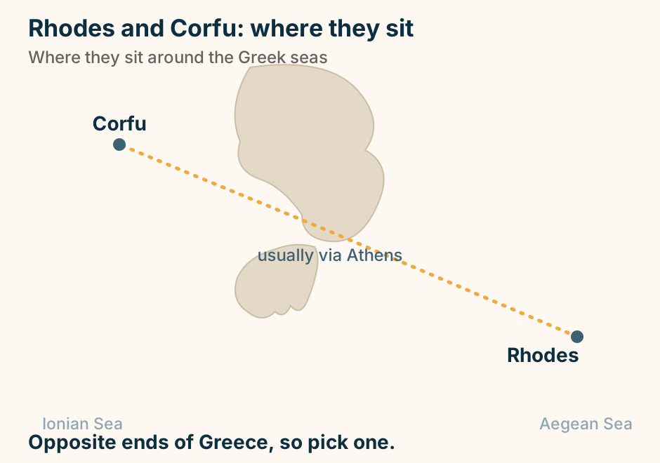
Rhodes and Corfu: where they sit in Greece. Rhodes and Corfu are marked far apart, joined only by a dashed route through Athens, showing there is no direct hop. Opposite ends of Greece, so pick one. Explained on Rhodes vs Corfu: the medieval city, or the green Venetian island?. SVG · CC BY 4.0.
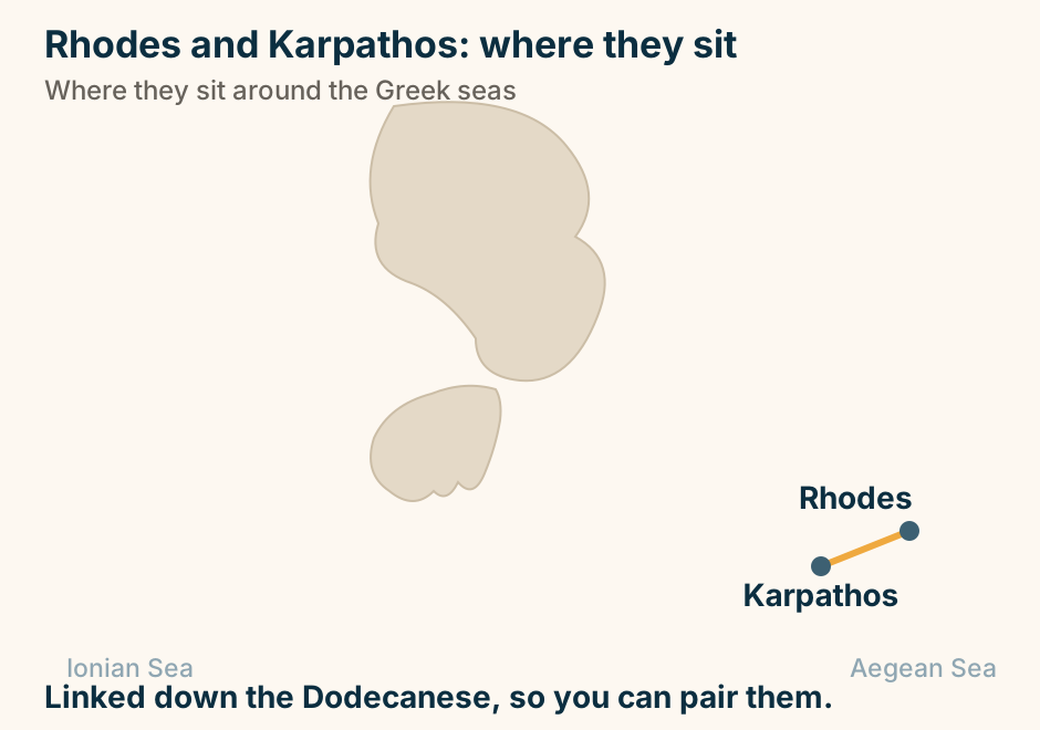
Rhodes and Karpathos: where they sit in Greece. Rhodes and Karpathos are marked close together, joined by a solid line, showing they pair easily on one trip. Linked down the Dodecanese, so you can pair them. Explained on Karpathos vs Rhodes: the wild one or the well-served one. SVG · CC BY 4.0.
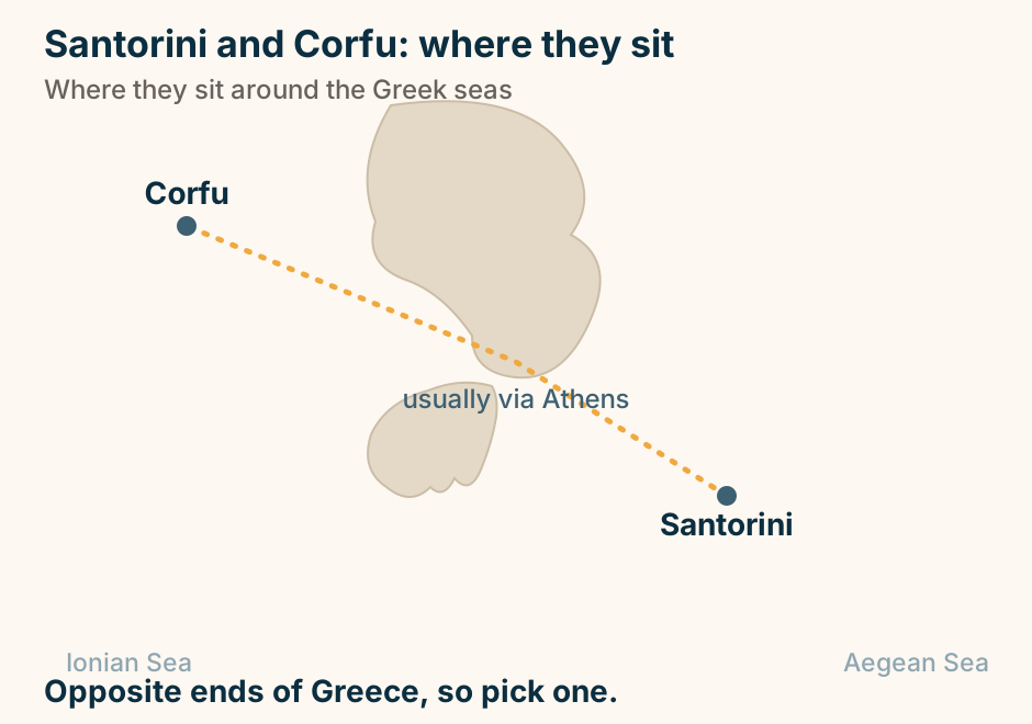
Santorini and Corfu: where they sit in Greece. Santorini and Corfu are marked far apart, joined only by a dashed route through Athens, showing there is no direct hop. Opposite ends of Greece, so pick one. Explained on Santorini vs Corfu: the caldera icon, or a green Ionian week?. SVG · CC BY 4.0.
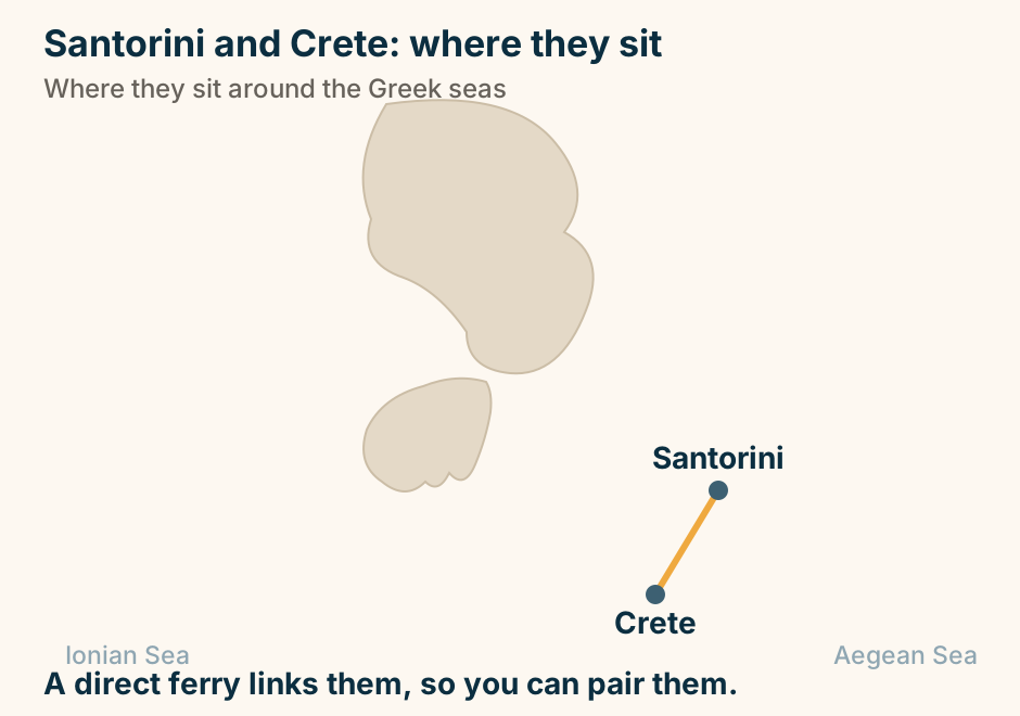
Santorini and Crete: where they sit in Greece. Santorini and Crete are marked close together, joined by a solid line, showing they pair easily on one trip. A direct ferry links them, so you can pair them. Explained on Santorini vs Crete: which island fits your trip. SVG · CC BY 4.0.
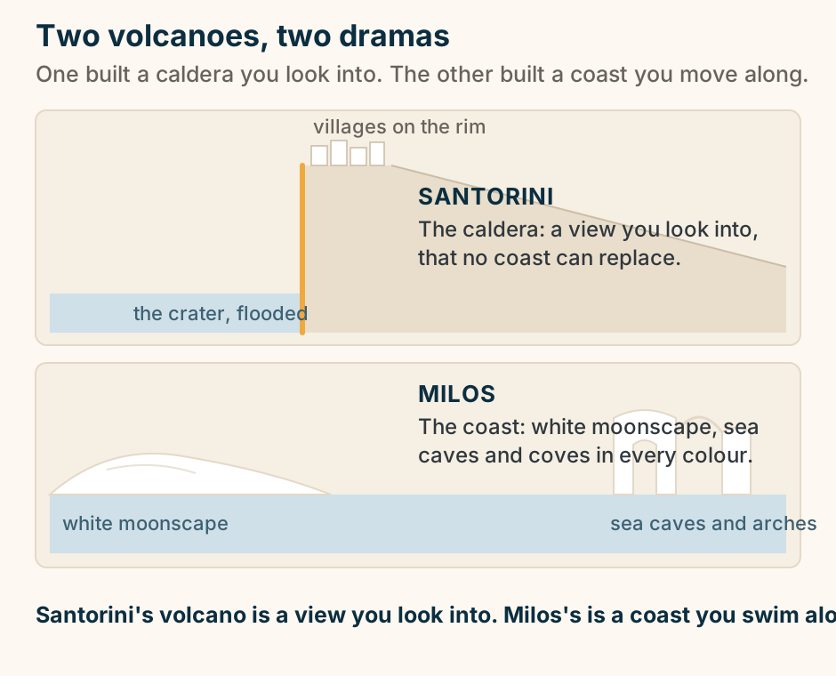
Santorini and Milos, two volcanoes on one arc telling two stories: a flooded caldera you look into, and a coast of white rock and sea caves you move along. Two stacked schematic cross-sections contrasting two volcanic Cycladic islands. The top profile is Santorini: the rim of a flooded volcano, with the sea filling the crater at the foot of a near-vertical cliff and a row of small white village blocks on the clifftop rim, then a gentle outer flank. The caldera cliff edge is highlighted. The bottom profile is Milos: a low white moonscape of smooth volcanic rock on one side and a white sea arch rising out of clear water on the other, standing for the caves, coves and coloured coast. Santorini’s volcano is a view you look into, Milos’s is a coast you move along. Explained on Santorini vs Milos: the caldera view, or the coloured coast?. SVG · CC BY 4.0.
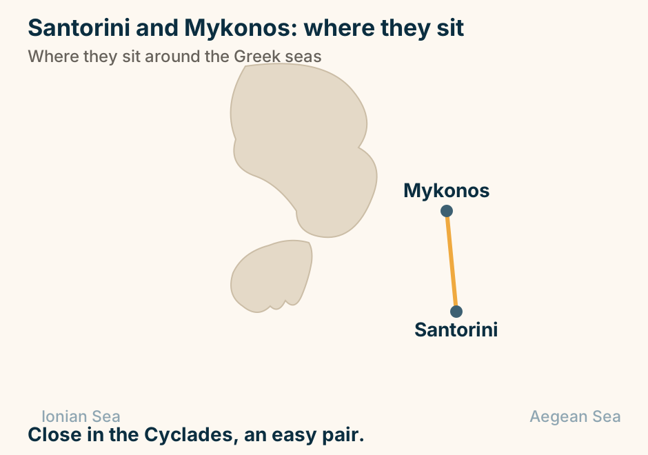
Santorini and Mykonos: where they sit in Greece. Santorini and Mykonos are marked close together, joined by a solid line, showing they pair easily on one trip. Close in the Cyclades, an easy pair. Explained on Santorini vs Mykonos: which one is right for your trip. SVG · CC BY 4.0.
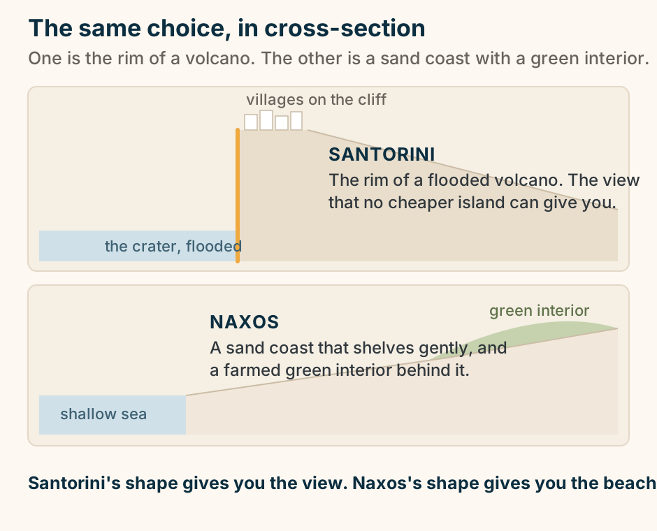
Santorini and Naxos, in cross-section: a caldera cliff, and a shelving sand coast. Two stacked schematic coastal cross-sections that show why the choice comes down to shape. The top profile is Santorini: the rim of a flooded volcano, with the sea filling the crater at the foot of a near-vertical cliff and a row of small white village blocks perched on the clifftop rim, then a gentle outer flank sloping away. The cliff edge is highlighted. The bottom profile is Naxos: a shallow sandy foreshore shelving gently out into the sea, rising behind the beach into a green, farmed interior of hills. Santorini’s shape gives you the view, Naxos’s shape gives you the beach. Explained on Santorini vs Naxos: is the caldera the reason for the trip?. SVG · CC BY 4.0.
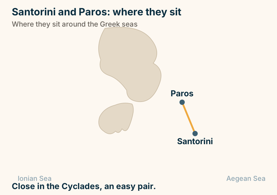
Santorini and Paros: where they sit in Greece. Santorini and Paros are marked close together, joined by a solid line, showing they pair easily on one trip. Close in the Cyclades, an easy pair. Explained on Santorini vs Paros: the icon, or the island with no weak spot?. SVG · CC BY 4.0.
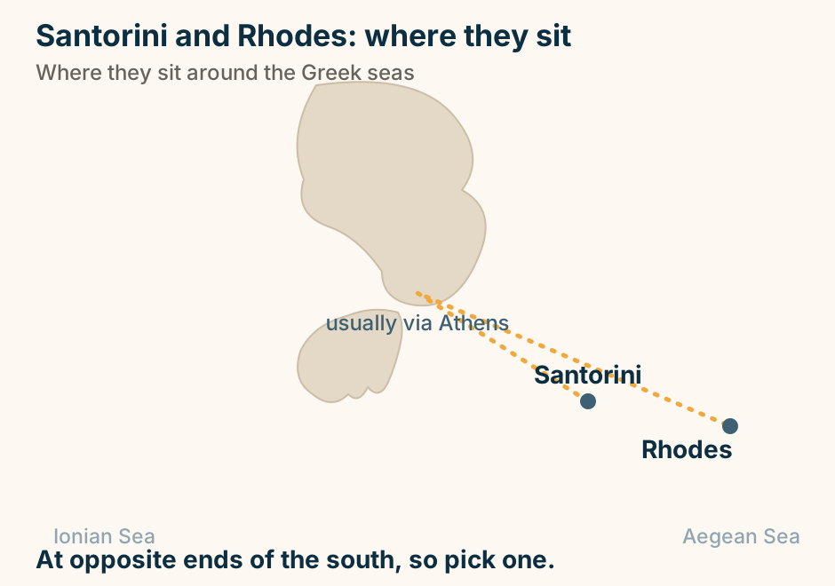
Santorini and Rhodes: where they sit in Greece. Santorini and Rhodes are marked far apart, joined only by a dashed route through Athens, showing there is no direct hop. At opposite ends of the south, so pick one. Explained on Santorini vs Rhodes: the caldera icon, or a whole historic island?. SVG · CC BY 4.0.
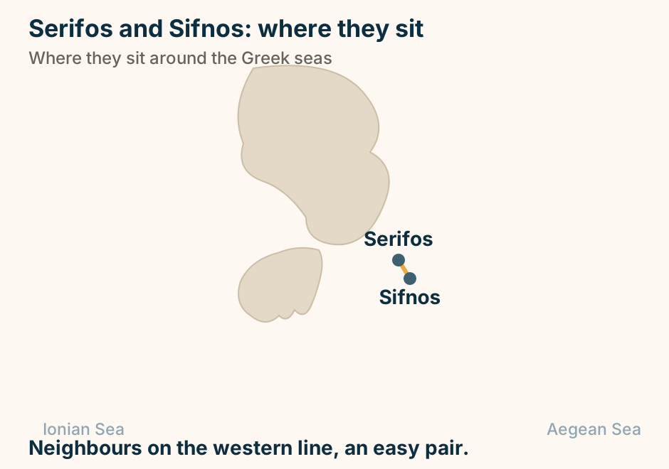
Serifos and Sifnos: where they sit in Greece. Serifos and Sifnos are marked close together, joined by a solid line, showing they pair easily on one trip. Neighbours on the western line, an easy pair. Explained on Sifnos vs Serifos: which quiet western Cyclades island. SVG · CC BY 4.0.
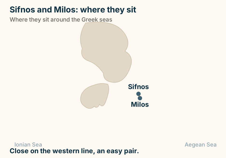
Sifnos and Milos: where they sit in Greece. Sifnos and Milos are marked close together, joined by a solid line, showing they pair easily on one trip. Close on the western line, an easy pair. Explained on Milos vs Sifnos: coastline or kitchen. SVG · CC BY 4.0.
Skopelos and Skiathos: where they sit in Greece. Skopelos and Skiathos are marked close together, joined by a solid line, showing they pair easily on one trip. Neighbours in the Sporades, an easy pair. Explained on Skiathos vs Skopelos: which Sporades island fits your trip. SVG · CC BY 4.0.

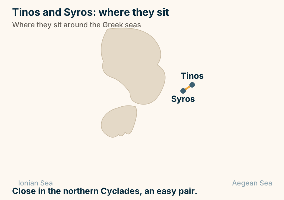
Tinos and Syros: where they sit in Greece. Tinos and Syros are marked close together, joined by a solid line, showing they pair easily on one trip. Close in the northern Cyclades, an easy pair. Explained on Syros vs Tinos: which lived-in Cyclades island suits you. SVG · CC BY 4.0.
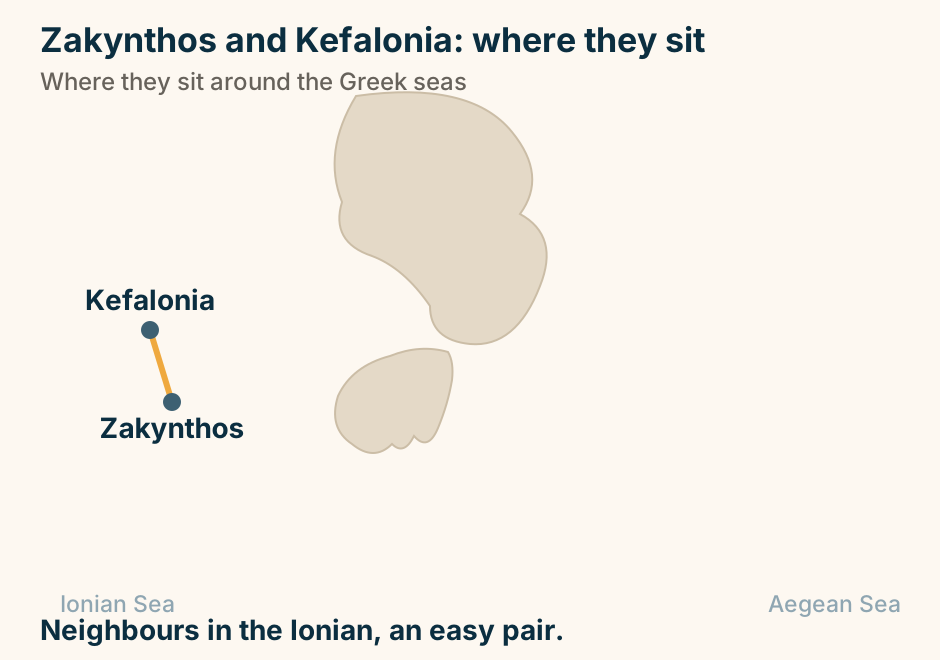
Zakynthos and Kefalonia: where they sit in Greece. Zakynthos and Kefalonia are marked close together, joined by a solid line, showing they pair easily on one trip. Neighbours in the Ionian, an easy pair. Explained on Zakynthos vs Kefalonia: the famous sights, or the scenic relaxed island?. SVG · CC BY 4.0.
Travel guides and logistics
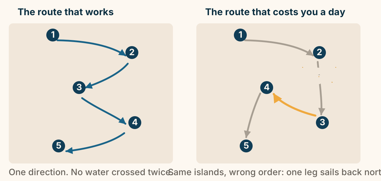
A good island-hopping route, and a bad one. Two identical maps of the same five islands. In the good route the line sweeps one way south through all five in order, no leg crossing another. In the bad route the same islands are visited out of order, so one leg doubles back north over water already crossed, costing a travel day. Explained on How to Plan Greek Island Hopping Without Backtracking. SVG · CC BY 4.0.
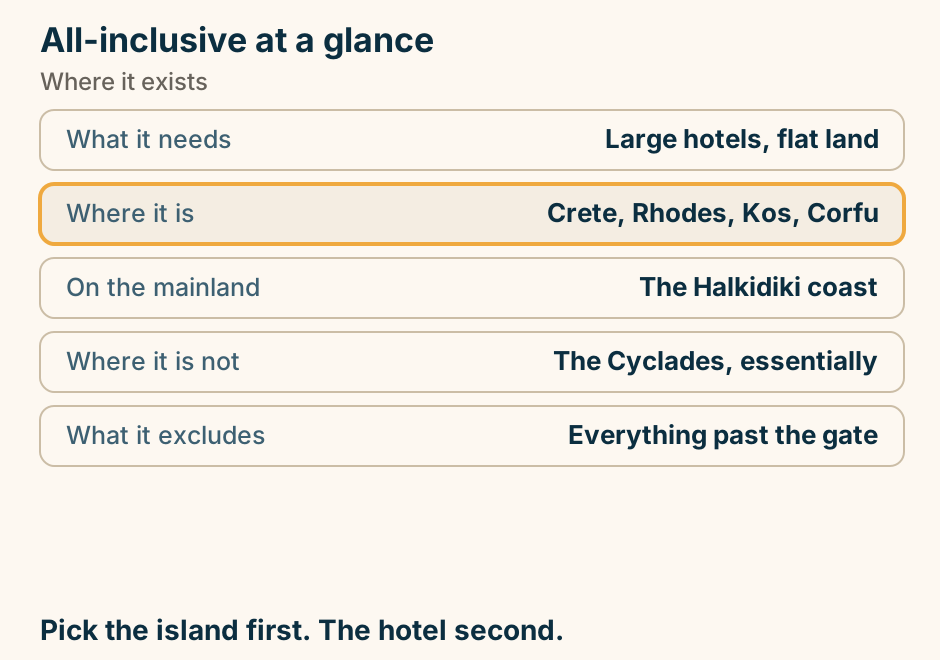
All-inclusive at a glance. What it needs: Large hotels, flat land. Where it is: Crete, Rhodes, Kos, Corfu. On the mainland: The Halkidiki coast. Where it is not: The Cyclades, essentially. What it excludes: Everything past the gate. Pick the island first. The hotel second. Explained on All-inclusive in Greece: it depends entirely on which island. SVG · CC BY 4.0.
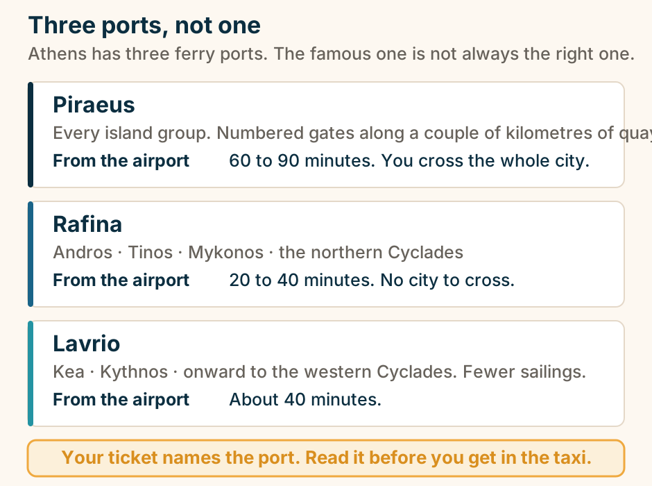
Athens has three ferry ports, and they serve different islands. Piraeus is the big one, about 60 to 90 minutes from the airport, and sails to every island group. Rafina is about a 20 to 40 minute drive from the airport and serves Andros, Tinos, Mykonos and much of the northern Cyclades. Lavrio is about 40 minutes from the airport and serves Kea, Kythnos and the western Cyclades. Which port your ferry leaves from depends on the operator and the season, so check your ticket. Explained on Greek Island Ferries: Planning the Sea Legs of Your Trip. SVG · CC BY 4.0.
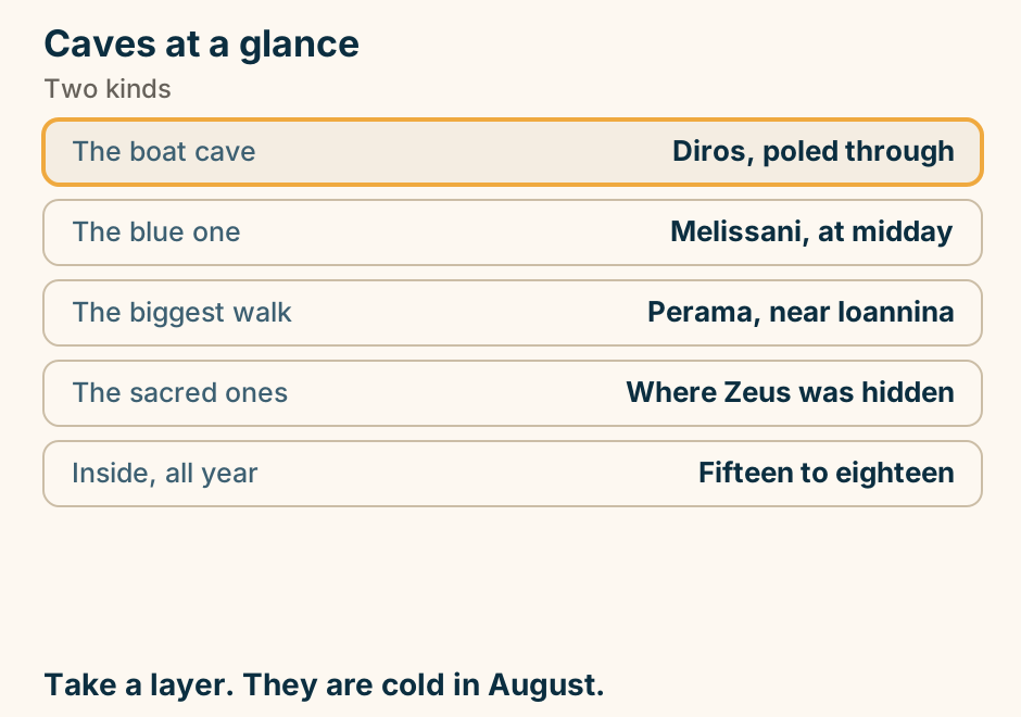
Caves at a glance. The boat cave: Diros, poled through. The blue one: Melissani, at midday. The biggest walk: Perama, near Ioannina. The sacred ones: Where Zeus was hidden. Inside, all year: Fifteen to eighteen. Take a layer. They are cold in August. Explained on Caves in Greece: the boat rides and the sacred ones. SVG · CC BY 4.0.
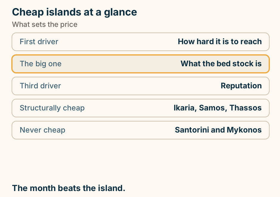
Cheap islands at a glance. First driver: How hard it is to reach. The big one: What the bed stock is. Third driver: Reputation. Structurally cheap: Ikaria, Samos, Thassos. Never cheap: Santorini and Mykonos. The month beats the island. Explained on The cheapest Greek islands, and the three things that decide it. SVG · CC BY 4.0.
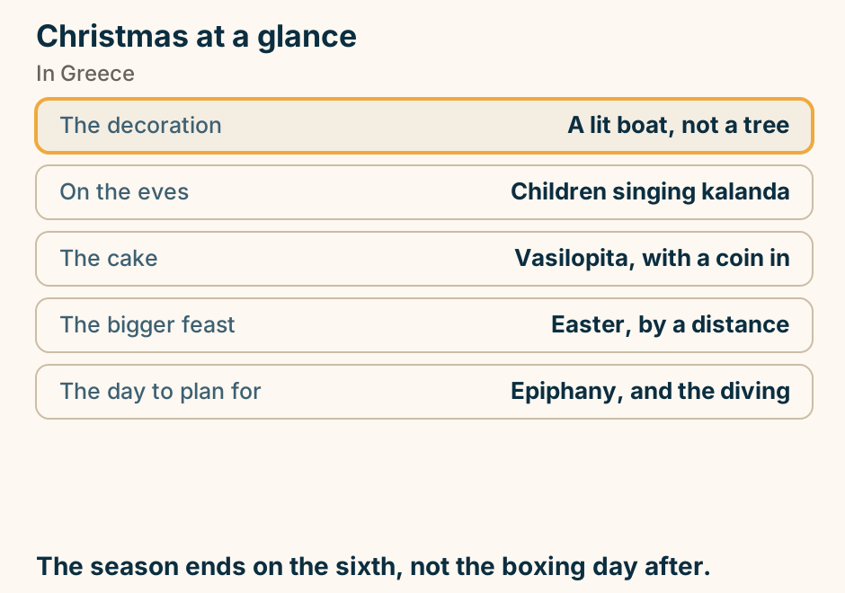
Christmas at a glance. The decoration: A lit boat, not a tree. On the eves: Children singing kalanda. The cake: Vasilopita, with a coin in. The bigger feast: Easter, by a distance. The day to plan for: Epiphany, and the diving. The season ends on the sixth, not the boxing day after. Explained on Christmas in Greece: the decorated boat, and what actually happens. SVG · CC BY 4.0.
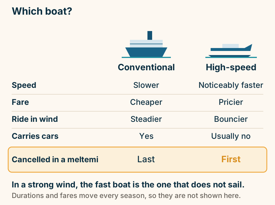
Conventional ferry or high-speed catamaran. A conventional ferry is slower and cheaper, steadier in wind, carries cars, and is the last to be cancelled in a meltemi. A high-speed catamaran is noticeably faster and pricier, bouncier in wind, usually carries no cars, and is the first to be cancelled. Explained on Greek Island Ferries: Planning the Sea Legs of Your Trip. SVG · CC BY 4.0.
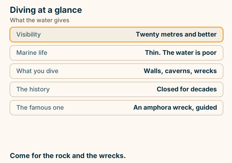
Diving at a glance. Visibility: Twenty metres and better. Marine life: Thin. The water is poor. What you dive: Walls, caverns, wrecks. The history: Closed for decades. The famous one: An amphora wreck, guided. Come for the rock and the wrecks. Explained on Scuba diving in Greece: visibility, walls and wrecks. SVG · CC BY 4.0.
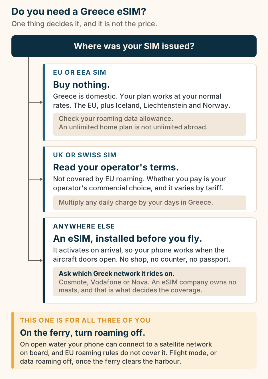
Do you need a Greece eSIM? Where your SIM was issued decides it. A decision tree with one root question: where was your SIM issued? Three branches follow. An EU or EEA SIM, which means the EU plus Iceland, Liechtenstein and Norway: buy nothing, because Greece is domestic and your plan works at your normal rates. Check your roaming data allowance, though, because an unlimited home plan is not unlimited abroad. A UK or Swiss SIM: read your operator’s terms, because you are not covered by EU roaming and whether you pay is your operator’s commercial choice. Multiply any daily charge by your days in Greece. Anywhere else: an eSIM, installed before you fly. It activates on arrival, with no shop, no counter and no passport. Ask which Greek network it rides on, Cosmote, Vodafone or Nova, because an eSIM company owns no masts and that is what decides the coverage. Below all three branches, one highlighted band that applies to every reader: on the ferry, turn roaming off. On open water your phone can connect to a satellite network on board, and EU roaming rules do not cover it. Explained on Greece eSIM and staying connected. SVG · CC BY 4.0.
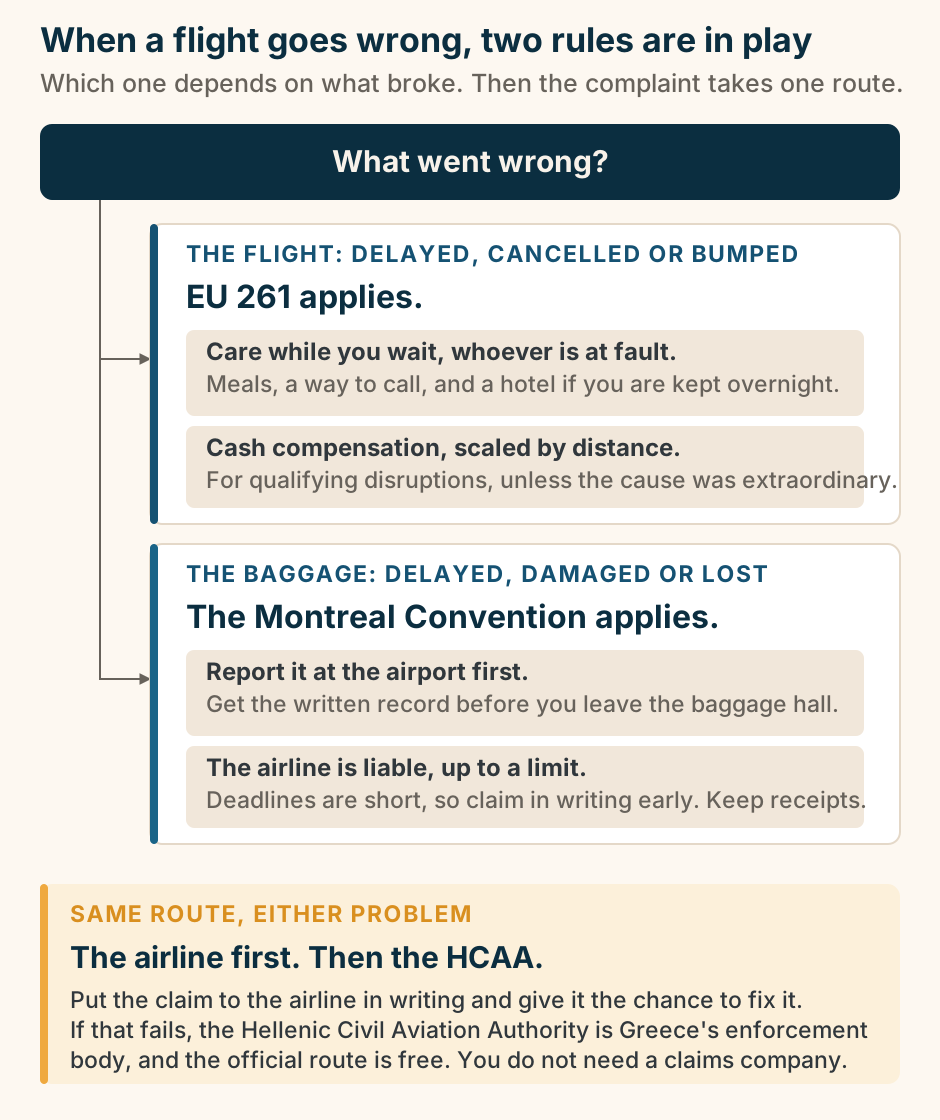
Flight delay or lost bag: which rule applies, and where the complaint goes. A decision flow with one root question: what went wrong? Two branches follow. If the flight was delayed, cancelled or you were denied boarding, EU Regulation 261 applies: a right to care while you wait, meals, a way to communicate and a hotel if you are kept overnight, owed regardless of whose fault it is; and, for qualifying disruptions, fixed cash compensation that scales with flight distance, unless the airline proves the cause was extraordinary. If the baggage was delayed, damaged or lost, the Montreal Convention applies instead: report it at the airport and get the written record before you leave, because the airline is liable up to a limit set by the treaty, with short deadlines to claim in writing. Below both branches, one highlighted band that is the same for either problem: put the claim to the airline first, and only if that fails take it to the Hellenic Civil Aviation Authority, Greece’s national enforcement body, which is the free official route. Explained on Flight delays and lost luggage: what you are owed, and how to claim. SVG · CC BY 4.0.
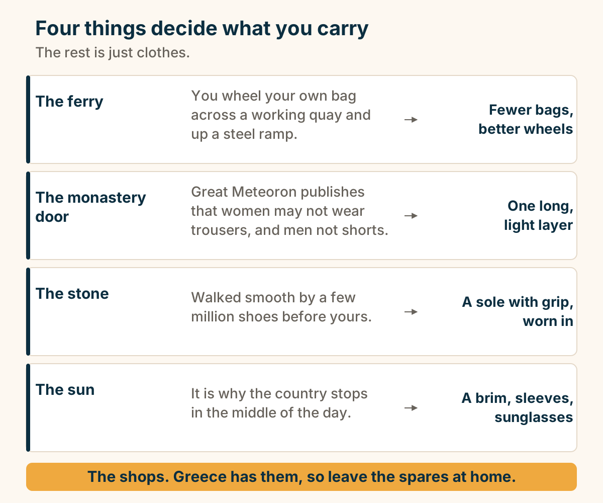
Four constraints decide a Greek packing list, and the shops shorten it. Four constraints decide a Greek packing list: the ferry ramp, the monastery door, the polished stone and the sun. Each one puts one specific thing in the bag. Below them, a band: Greece has shops, so the spares stay at home. Explained on What to pack for Greece. SVG · CC BY 4.0.
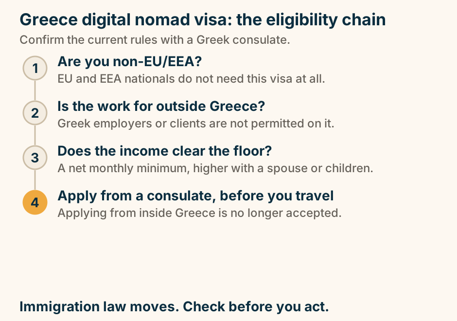
Greece digital nomad visa: the eligibility chain. A four step chain reading downwards. Step one asks whether you are non-EU or EEA, noting EU and EEA nationals do not need the visa. Step two asks whether the work is for outside Greece, noting Greek employers and clients are not permitted. Step three asks whether the income clears the floor, a net monthly minimum that is higher with a spouse or children. Step four, marked out as the one that changed, says apply from a consulate before you travel, because applying from inside Greece is no longer accepted. Immigration law moves. Check before you act. No income figure appears in the diagram. Explained on The Greece digital nomad visa, as it stands. SVG · CC BY 4.0.
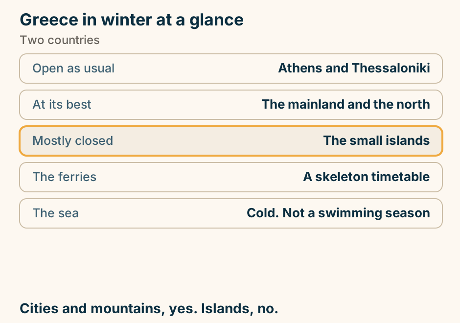
Greece in winter at a glance. Open as usual: Athens and Thessaloniki. At its best: The mainland and the north. Mostly closed: The small islands. The ferries: A skeleton timetable. The sea: Cold. Not a swimming season. Cities and mountains, yes. Islands, no. Explained on Greece in winter: the cities work, most islands do not. SVG · CC BY 4.0.
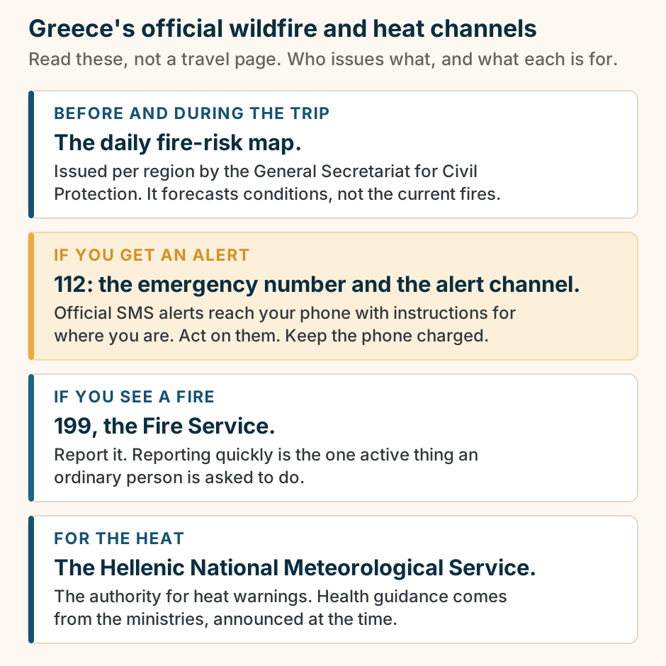
Greece’s official wildfire and heat channels, and what each one is for. Four official channels, stacked in the order a traveller reaches for them. Before and during the trip: the daily fire-risk map, issued per region by the General Secretariat for Civil Protection, which is the authority to read rather than a travel page. If you get an alert: 112, the European emergency number and the channel through which official SMS alerts reach your phone with instructions for where you are, so keep the phone charged and able to receive it. If you see a fire: 199, the Fire Service, to report it, which is the one active thing an ordinary person is asked to do. For the heat: the Hellenic National Meteorological Service, the authority for heat warnings, with public health guidance coming from the relevant ministries at the time. The 112 channel is highlighted as the one not to miss. No risk map, no risk rating and no figures appear; those belong to the authorities on the day. Explained on Wildfires and heat in Greece: how the official warnings work. SVG · CC BY 4.0.
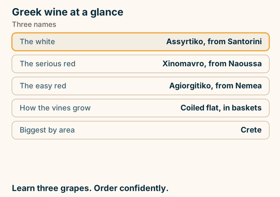
Greek wine at a glance. The white: Assyrtiko, from Santorini. The serious red: Xinomavro, from Naoussa. The easy red: Agiorgitiko, from Nemea. How the vines grow: Coiled flat, in baskets. Biggest by area: Crete. Learn three grapes. Order confidently. Explained on Greek wine regions: three grapes, and where they grow. SVG · CC BY 4.0.
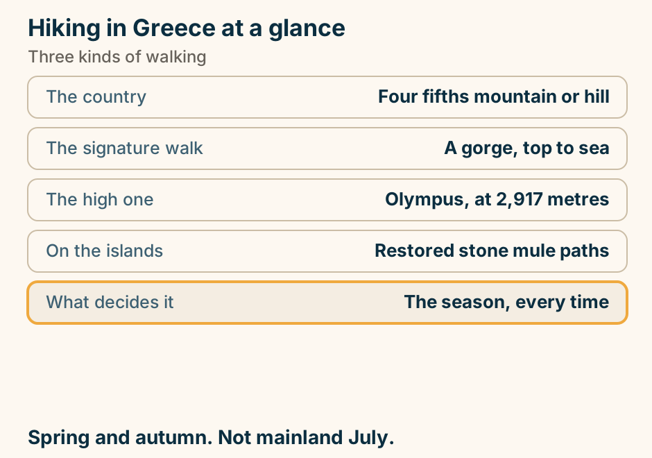
Hiking in Greece at a glance. The country: Four fifths mountain or hill. The signature walk: A gorge, top to sea. The high one: Olympus, at 2,917 metres. On the islands: Restored stone mule paths. What decides it: The season, every time. Spring and autumn. Not mainland July. Explained on Hiking in Greece: gorges, ranges and old island paths. SVG · CC BY 4.0.
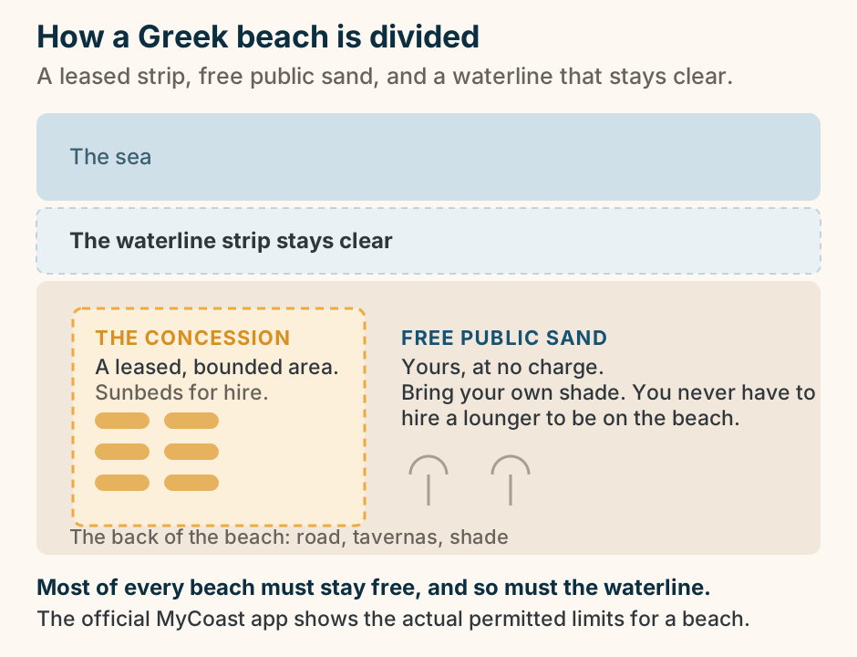
How a Greek beach is divided: a leased concession, free public sand, and a clear waterline. A schematic top-down plan of an organised Greek beach, from the sea at the top to the back of the beach at the bottom. Nearest the water runs a strip that must be kept clear of sunbeds. Behind it is the sand, and within the sand sits one bounded area, the concession: a leased, defined patch where a business sets out sunbeds and umbrellas for hire, drawn with rows of loungers. Around and beyond it is free public sand, which anyone may use without paying by bringing their own shade. The plan shows the principle rather than a measurement: most of the beach, and the waterline itself, is meant to stay free. No percentages or figures appear; the official MyCoast app shows the actual permitted limits for a specific beach. Explained on Sunbeds and free beaches in Greece: the system, not the prices. SVG · CC BY 4.0.
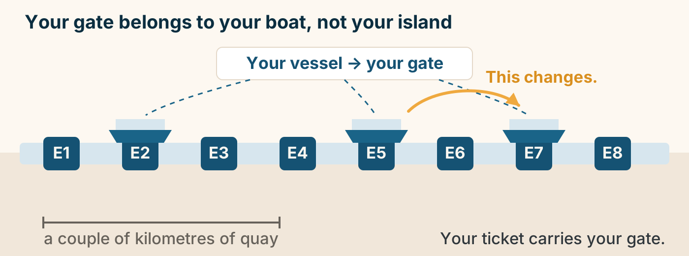
How the gates at Piraeus work. Piraeus port has numbered gates spread along a long quay. Your gate is set by your vessel, not by your destination, and it can change. The quay is long, so allow time for the walk. The gate on your ticket or the departure board is the only authority. Explained on Greek Island Ferries: Planning the Sea Legs of Your Trip. SVG · CC BY 4.0.
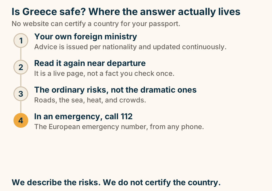
Is Greece safe? Where the answer actually lives. A four step chain reading downwards. Step one is your own foreign ministry, whose advice is issued per nationality and updated continuously. Step two is to read it again near departure, because it is a live page rather than a fact checked once. Step three is the ordinary risks rather than the dramatic ones: roads, the sea, heat and crowds. Step four, marked out, is that in an emergency you call 112, the European emergency number, from any phone. We describe the risks. We do not certify the country. Explained on Is Greece safe? How to get a real answer. SVG · CC BY 4.0.
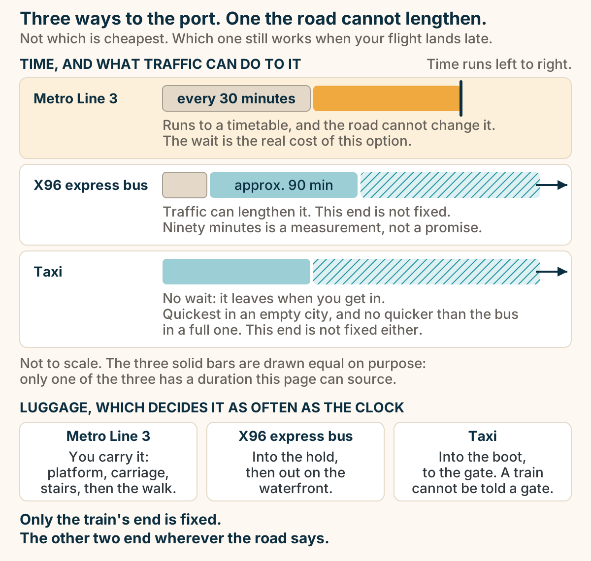
Metro, X96 or taxi from Athens airport to Piraeus: only the train’s end is fixed. Three horizontal lanes on one left-to-right time axis, comparing Metro Line 3, the X96 express bus and a taxi from Athens airport to Piraeus. All three lanes start at the same point. The metro lane opens with a long wait block labelled every 30 minutes, then a solid highlighted journey bar that stops dead at a hard vertical edge, because the road cannot lengthen it. The X96 lane opens with a short wait, then a solid journey bar labelled approx. 90 min, then a hatched, open-ended band with an arrow: traffic can extend it and nothing fixes where it ends. The taxi lane has no wait at all, then a solid journey bar, then the same hatched open-ended band with an arrow. The two road lanes’ hatched bands run out to the same point, because a taxi is no quicker than the bus in a full city. The bars are not to scale: the three solid journey bars are drawn the same length on purpose, because only one of the three has a duration this page can source. Below, three columns give the luggage reality. On the metro you carry it: platform, carriage, stairs, then the walk. On the X96 it goes into the hold and comes out on the waterfront. In a taxi it goes into the boot and travels to the gate, and a train cannot be told a gate. The conclusion: only the train’s end is fixed, and the other two end wherever the road says. Explained on Athens airport to Piraeus, and airport transfers in Greece. SVG · CC BY 4.0.
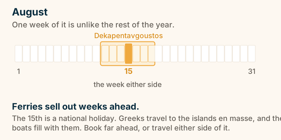
Mid-August: ferries sell out weeks ahead. Around the 15th of August, Dekapentavgoustos, Greeks travel to the islands en masse and ferries sell out weeks ahead. The week either side of the 15th is the single stretch of the year to avoid, or to book far in advance. Explained on The best time to visit Greece, by trip type. SVG · CC BY 4.0.
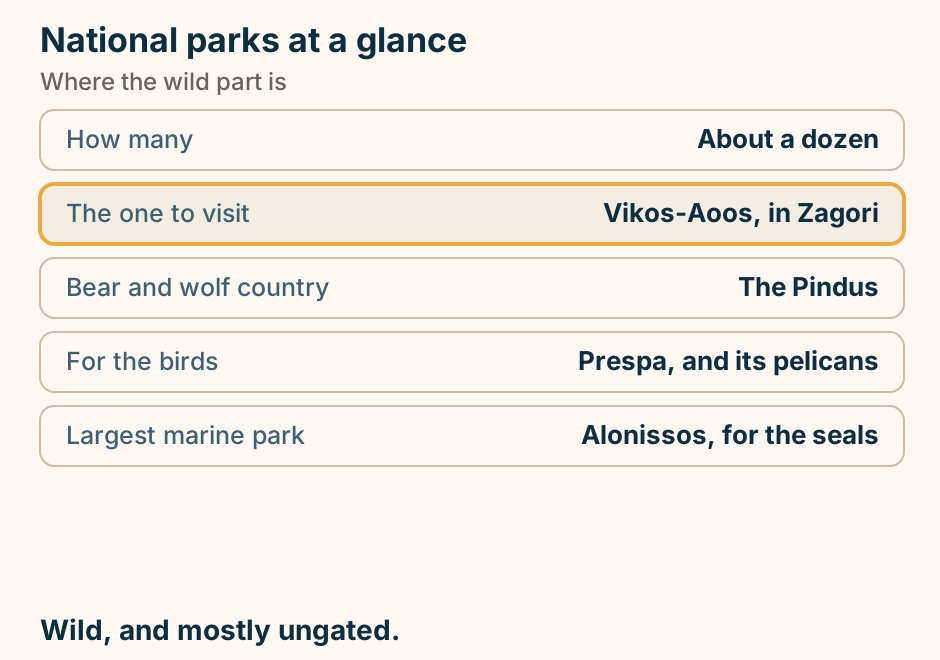
National parks at a glance. How many: About a dozen. The one to visit: Vikos-Aoos, in Zagori. Bear and wolf country: The Pindus. For the birds: Prespa, and its pelicans. Largest marine park: Alonissos, for the seals. Wild, and mostly ungated. Explained on National parks in Greece: where the wild part is. SVG · CC BY 4.0.
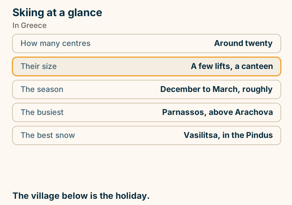
Nude beaches at a glance. The national law: There is not one. What is normal: Topless, almost everywhere. Where full nudity is: A few known beaches. Where it is not: Near a village or church. What ends tolerance: A camera. Read the beach. Then walk to its end. Explained on Nude beaches in Greece: how it actually works. SVG · CC BY 4.0.
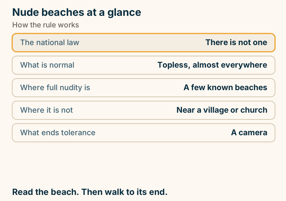
Open-jaw flights beat a round trip. Two route shapes. A return trip flies in and out of the same airport, so the last leg sails all the way back and retraces the outbound route. An open-jaw trip flies into one airport and home from another at the far end of the route, so the line never doubles back. Explained on How to Plan Greek Island Hopping Without Backtracking. SVG · CC BY 4.0.
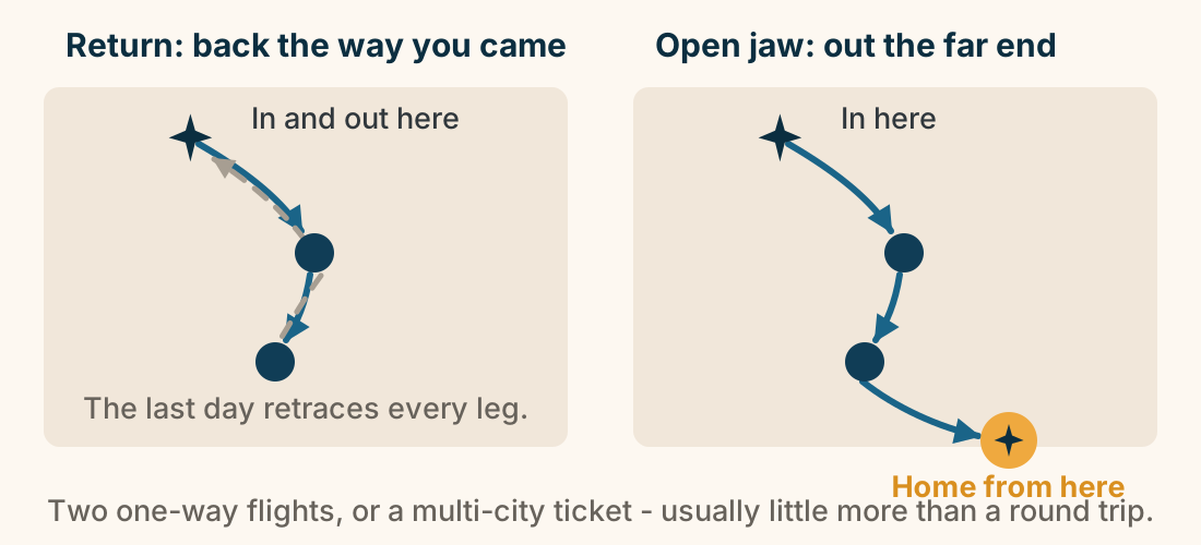
Sailing at a glance. The gentle sea: The Ionian, off Lefkada. The hard sea: The Cyclades. Why: The meltemi, all summer. Easiest start: The Saronic, from Athens. Bareboat needs: A recognised certificate. Ionian to learn. Cyclades once you can. Explained on Sailing in Greece: pick the sea by the wind, not the scenery. SVG · CC BY 4.0.
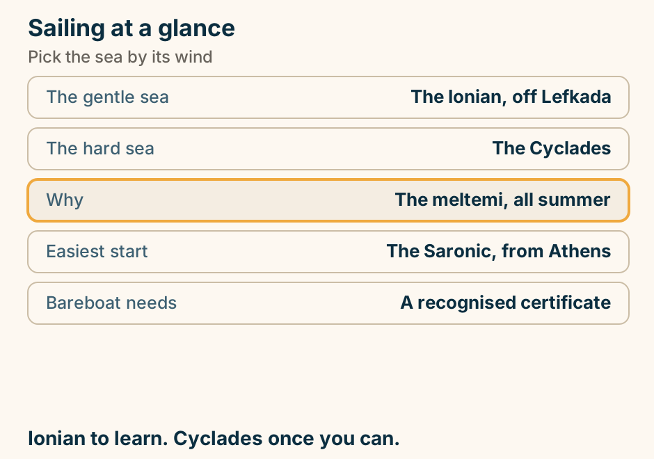
Skiing at a glance. How many centres: Around twenty. Their size: A few lifts, a canteen. The season: December to March, roughly. The busiest: Parnassos, above Arachova. The best snow: Vasilitsa, in the Pindus. The village below is the holiday. Explained on Skiing in Greece: it exists, and it is not what you expect. SVG · CC BY 4.0.
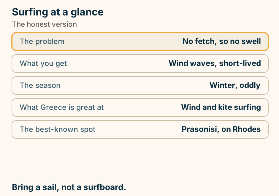
Surfing at a glance. The problem: No fetch, so no swell. What you get: Wind waves, short-lived. The season: Winter, oddly. What Greece is great at: Wind and kite surfing. The best-known spot: Prasonisi, on Rhodes. Bring a sail, not a surfboard. Explained on Surfing in Greece: the honest version. SVG · CC BY 4.0.
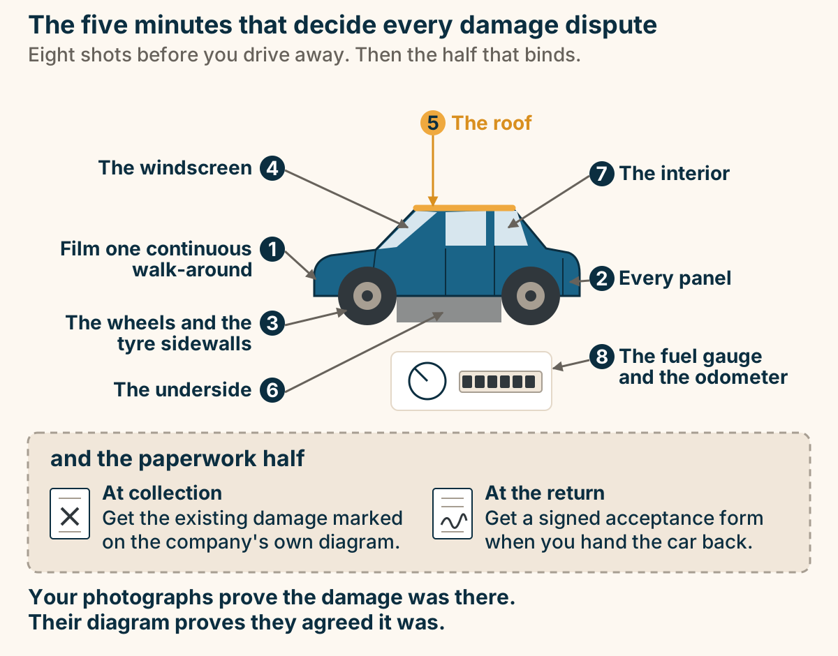
The eight shots to take before you drive a rental car away. A rental car in three-quarter view with eight numbered camera positions around it, each leader line touching the part of the car it names: one, film one continuous walk-around of the whole car; two, every panel; three, the wheels and the tyre sidewalls; four, the windscreen; five, the roof, which almost nobody photographs; six, the underside; seven, the interior; eight, the fuel gauge and the odometer. A separate panel headed “and the paperwork half” shows the two documents: at collection, get the existing damage marked on the company’s own diagram; at the return, get a signed acceptance form. Your photographs prove the damage was there. Their diagram proves they agreed it was. Explained on Renting a car in Greece. SVG · CC BY 4.0.
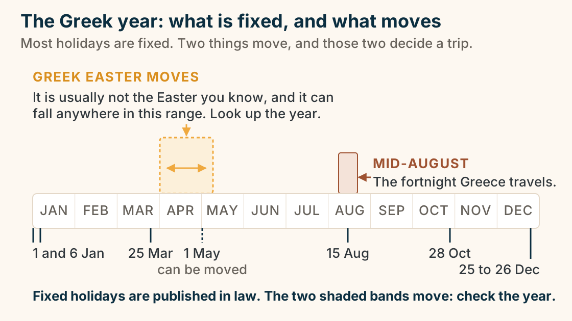
The Greek year: what is fixed, and what moves. A band of the Greek year, January to December. Below the band, the fixed public holidays are marked as ticks, and these are the only dates in the diagram: 1 and 6 January, 25 March, 1 May, 15 August, 28 October, and 25 to 26 December. The 1 May tick is drawn dashed, because it is the one holiday the state can transfer, and it has. Above the band are two shaded ranges rather than points. A wide orange band across April and early May, with a dashed edge and a double-headed arrow inside it, marks the range the Greek Orthodox Easter date can fall in: it moves, it is usually not the Easter you know, and you must look it up for your year. A narrow terracotta band on 15 August marks the fortnight Greece travels. Fixed holidays are published in law. The two shaded bands move, so check the year. Explained on Greece public holidays, and what actually closes. SVG · CC BY 4.0.
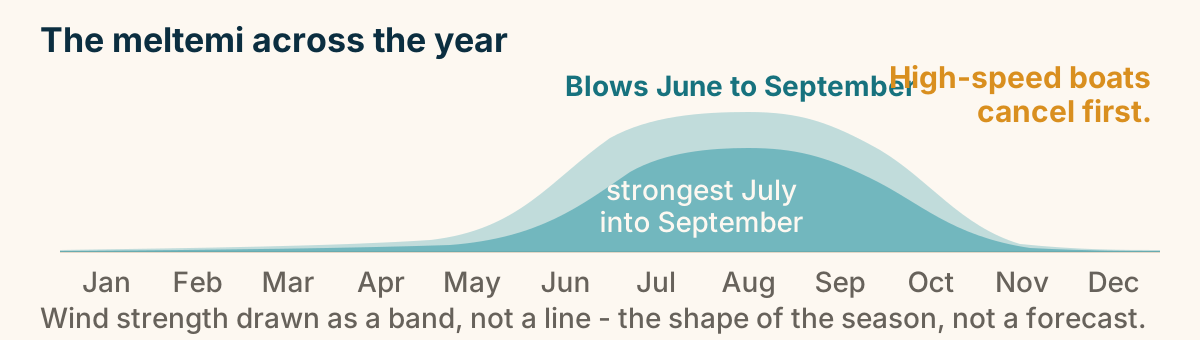
The meltemi across the year. The meltemi wind blows across the Aegean from June to September and is strongest from mid-July into September. High-speed boats are the first to be cancelled when it blows. The rest of the year is comparatively calm. Explained on The best time to visit Greece, by trip type. SVG · CC BY 4.0.
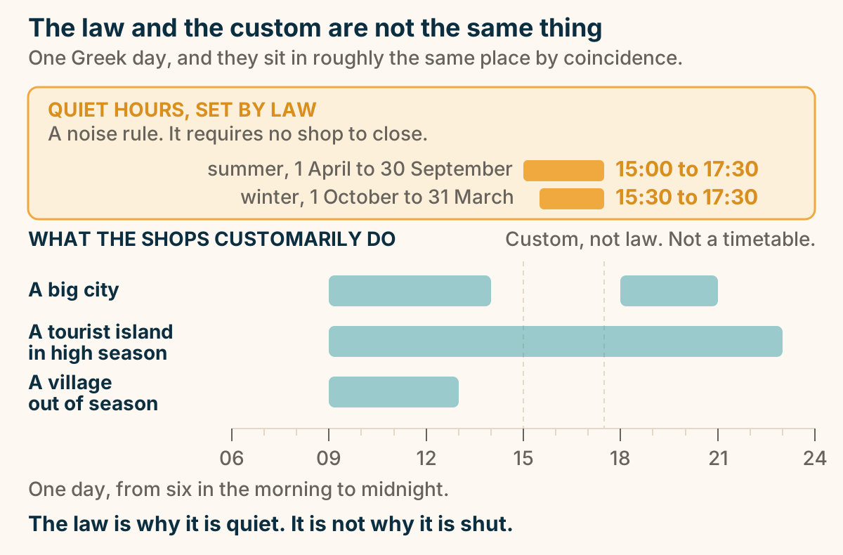
The quiet-hours law and the shop custom are two different things. A time axis for one day, from six in the morning to midnight. At the top, drawn separately and highlighted, is the legally defined quiet-hours window, shown twice: a summer bar running from three o’clock to half past five, and a slightly later winter bar running from half past three to half past five. Both end at half past five. It is a noise rule and it requires no shop to close. Beneath it, three bands show when shops are customarily open. A big city has a morning bar and an evening bar with a gap between them. A tourist island in high season has one long bar running late into the night. A village out of season has a short morning bar and little else. The three shop bands are custom, not law, and they are approximate. Explained on Siesta and opening hours in Greece. SVG · CC BY 4.0.
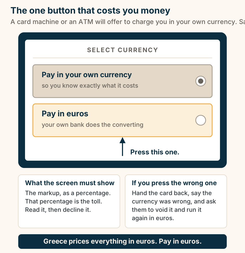
The two-button screen: always choose euros. An illustration of a card terminal screen headed SELECT CURRENCY, offering two buttons. The first is large, grey and already pre-selected: pay in your own currency, so you know exactly what it costs. That is the machine selling you a conversion at a rate its own operator sets. The second, outlined in orange, says pay in euros, and it lets your own bank do the converting. An arrow points up at it: press this one. A compliant screen must also show the markup as a percentage, and that percentage is the toll, so read it and then decline it. If you press the wrong one, hand the card back, say the currency was wrong, and ask them to void it and run it again in euros. Greece prices everything in euros, so pay in euros. Explained on Money in Greece: cards, cash and ATMs. SVG · CC BY 4.0.
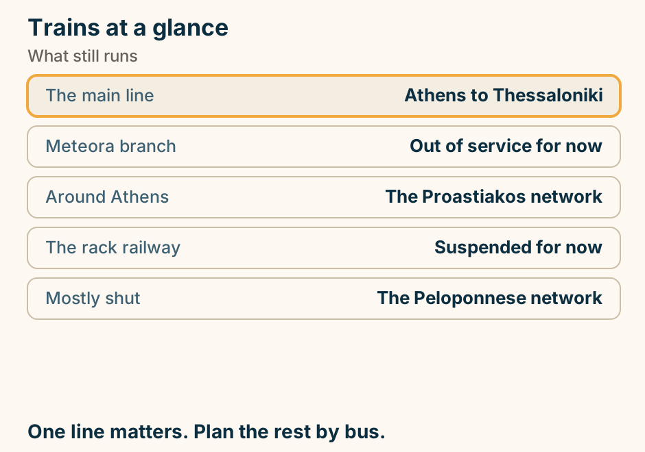
Trains at a glance. The main line: Athens to Thessaloniki. Meteora branch: Out of service for now. Around Athens: The Proastiakos network. The rack railway: Suspended for now. Mostly shut: The Peloponnese network. One line matters. Plan the rest by bus. Explained on Trains in Greece: what still runs, and what does not. SVG · CC BY 4.0.
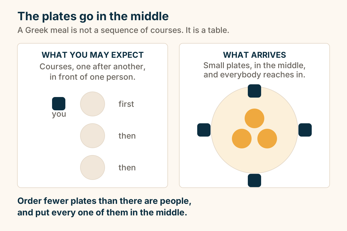
Two ways a meal arrives: courses in front of one person, or small plates in the middle. Two ways a meal arrives, side by side. On the left, courses land one after another in front of a single place setting. On the right, a Greek table, where small plates land in the middle and four people reach into them. Explained on Greek food: what to order, and what the menu is telling you. SVG · CC BY 4.0.
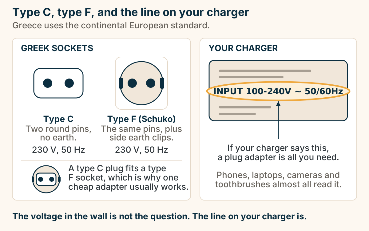
Type C and type F sockets, and the INPUT line on your charger. Two panels. On the left, Greek sockets: a type C plug, a plain body with two round pins and no earth; and an earthed type F, the Schuko, with the same two round pins plus earth clips on its sides, drawn in its recessed round socket. Both run on 230 volts, 50 hertz. An inset below shows a type C plug sitting inside a type F socket, which is why one cheap adapter usually works. On the right, a charger brick with its INPUT line circled and highlighted, reading INPUT 100-240V, tilde, 50/60Hz. If your charger says that, a plug adapter is all you need. Phones, laptops, cameras and toothbrushes almost all read it. Explained on Power, water and Wi-Fi in Greece. SVG · CC BY 4.0.
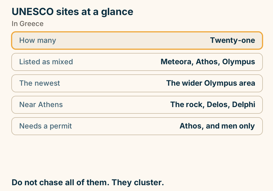
UNESCO sites at a glance. How many: Twenty-one. Listed as mixed: Meteora, Athos, Olympus. The newest: The wider Olympus area. Near Athens: The rock, Delos, Delphi. Needs a permit: Athos, and men only. Do not chase all of them. They cluster. Explained on The twenty-one UNESCO World Heritage sites in Greece. SVG · CC BY 4.0.
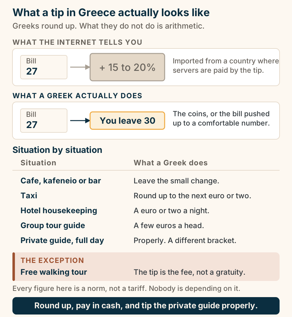
What a tip in Greece actually looks like. Two rows compare the same taverna bill. First, what the internet tells you: a 27 euro bill with a large flat-grey block bolted on to it reading plus 15 to 20 percent, imported from a country where servers are paid by the tip. Second, what a Greek actually does: the same 27 euro bill leads to a small orange block reading you leave 30, which is the coins, or the bill pushed up to a comfortable number. Then a two-column list of what a Greek does. Cafe, kafeneio or bar: leave the small change. Taxi: round up to the next euro or two. Hotel housekeeping: a euro or two a night. Group tour guide: a few euros a head. Private guide on a full day: properly, and it is a different bracket. One exception, marked in terracotta: on a free walking tour the tip is the fee, not a gratuity. Every figure here is a norm, not a tariff. Round up, pay in cash, and tip the private guide properly. Explained on Tipping in Greece. SVG · CC BY 4.0.
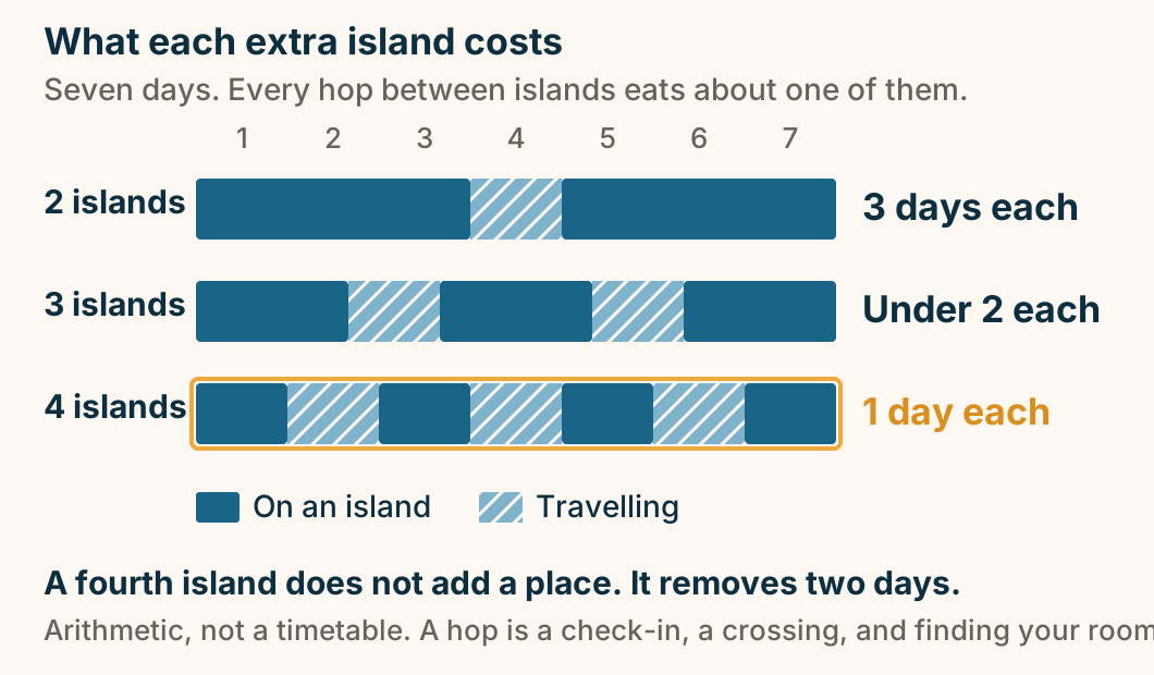
What each extra island costs you. Across seven days, two islands leaves three days on each. Three islands leaves under two days on each. Four islands leaves one day on each, because every hop between islands costs about a day of travel. Explained on How to Plan Greek Island Hopping Without Backtracking. SVG · CC BY 4.0.
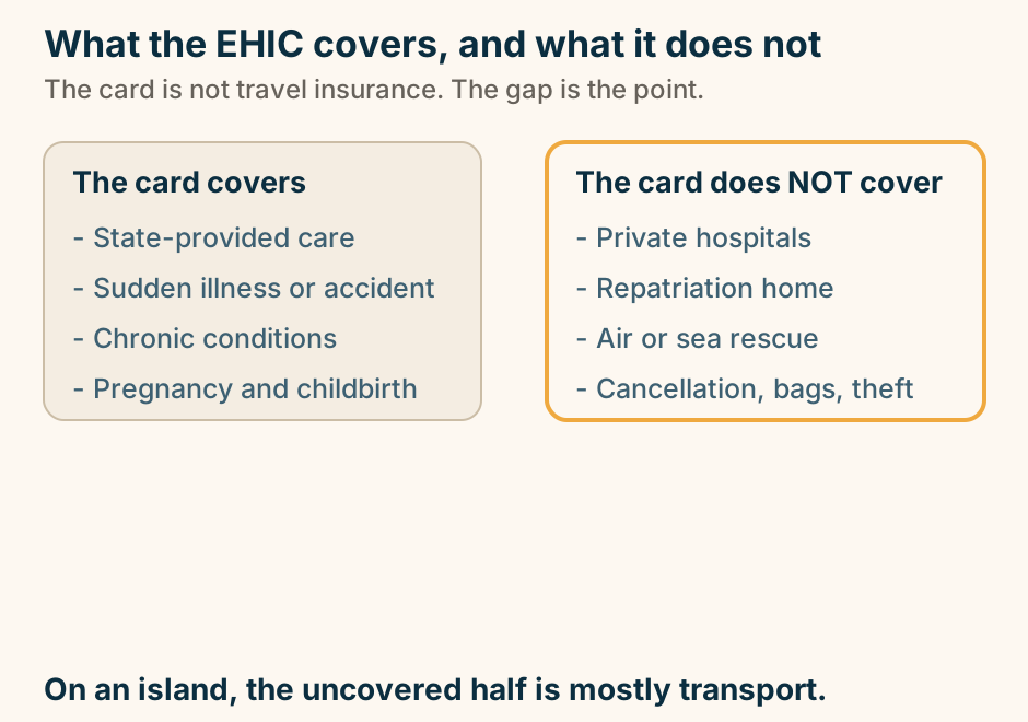
What the EHIC covers, and what it does not. A two column diagram. The left column, headed “The card covers”, lists state-provided care, sudden illness or accident, chronic conditions, and pregnancy and childbirth. The right column, outlined to mark it out, is headed “The card does NOT cover” and lists private hospitals, repatriation home, air or sea rescue, and cancellation, bags and theft. On an island, the uncovered half is mostly transport. Explained on Travel insurance for Greece, and what the EHIC does not cover. SVG · CC BY 4.0.
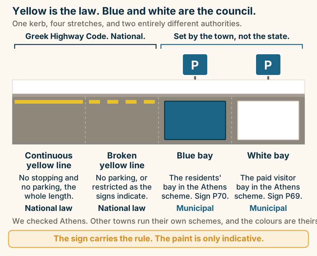
Yellow is the law. Blue and white are the council. A length of kerb split into four labelled stretches. A continuous yellow line means no stopping and no parking along its whole length, on that side: national law. A broken yellow line means parking is prohibited or restricted as other signs indicate: national law. A blue bay with a sign post is the residents’ bay in the City of Athens scheme, sign P70, and is municipal. A white bay with a sign post is the paid visitor bay in the City of Athens scheme, sign P69, and is municipal. A bracket spans the blue and white bays reading: set by the town, not the state. Other towns run their own schemes. The sign carries the rule; the paint is only indicative. Explained on Driving in Greece. SVG · CC BY 4.0.
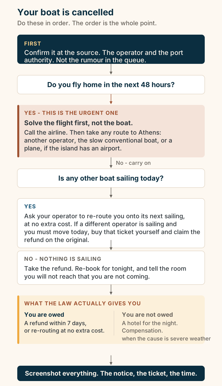
Your boat is cancelled: what to do, in order. A procedure. First, confirm the cancellation at the source: the operator’s own channel and the port authority, not the rumour in the queue. Then ask whether you have an international flight in the next 48 hours. If you do, solve the flight first: call the airline, then look for any route back to Athens, including a different operator, the slower conventional boat, or a plane if the island has an airport. If you do not, ask whether another boat is sailing today. If one is, ask your operator to re-route you onto it at no extra cost; if a different operator is sailing and you must move today, you can expect to buy that ticket yourself and claim the refund on the original. If nothing is sailing, take the refund, re-book for tonight, and tell the accommodation you will not reach that you are not coming. Under European ship passenger rights, when a sailing is cancelled you are owed either a refund within seven days or re-routing at no extra cost. When the cause is severe weather, you are not owed accommodation or compensation. Finally, screenshot everything: the cancellation notice, the ticket, and the time. Explained on When your ferry is cancelled in Greece. SVG · CC BY 4.0.
Itineraries
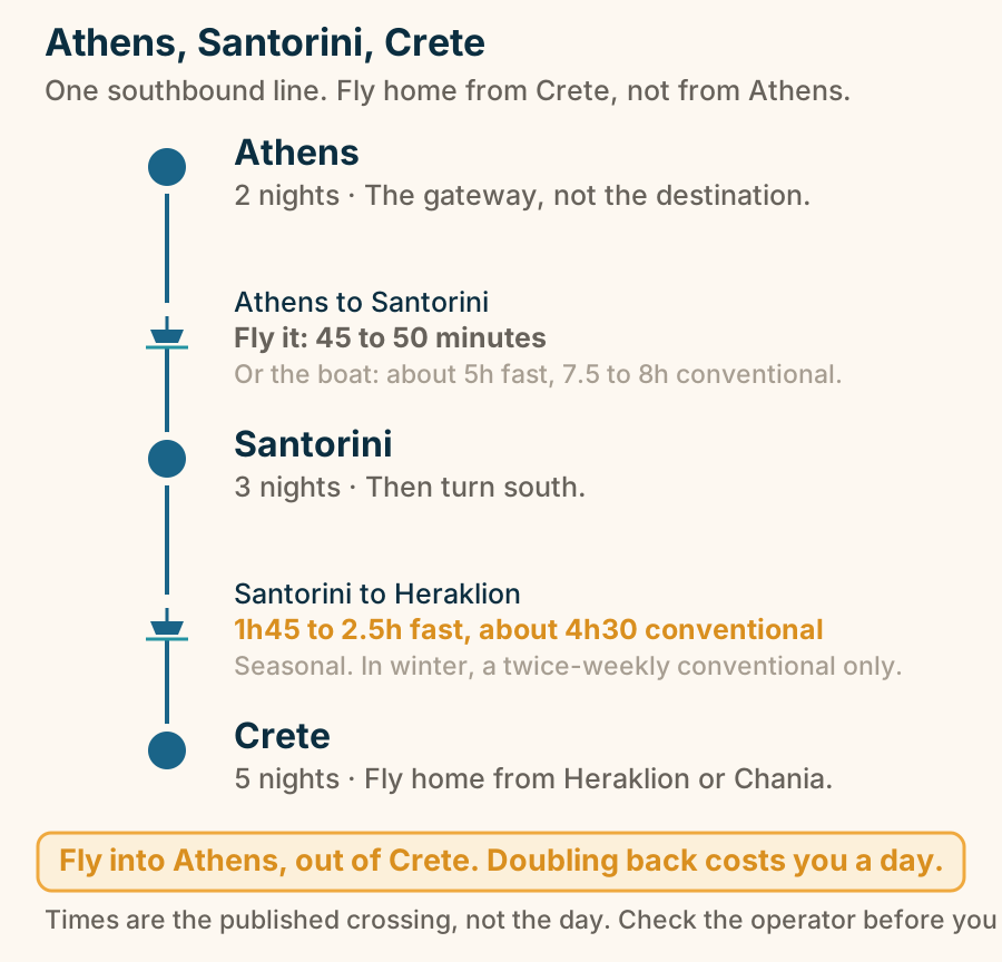
Athens, Santorini, Crete. Athens, Santorini, Crete. Athens, 2 nights. then Athens to Santorini, Fly it: 45 to 50 minutes. Santorini, 3 nights. then Santorini to Heraklion, 1h45 to 2.5h fast, about 4h30 conventional. Crete, 5 nights. Fly into Athens, out of Crete. Doubling back costs you a day. Explained on An Athens, Santorini and Crete itinerary that never backtracks. SVG · CC BY 4.0.
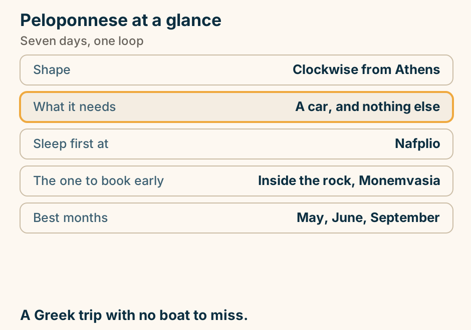
Peloponnese at a glance. Shape: Clockwise from Athens. What it needs: A car, and nothing else. Sleep first at: Nafplio. The one to book early: Inside the rock, Monemvasia. Best months: May, June, September. A Greek trip with no boat to miss. Explained on A seven-day Peloponnese road trip, clockwise from Athens. SVG · CC BY 4.0.
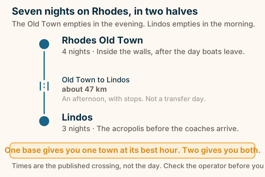
Seven nights on Rhodes, in two halves. Seven nights on Rhodes, in two halves. Rhodes Old Town, 4 nights. then Old Town to Lindos, about 47 km. Lindos, 3 nights. One base gives you one town at its best hour. Two gives you both. Explained on A Rhodes itinerary, 7 days: Old Town first, Lindos second. SVG · CC BY 4.0.
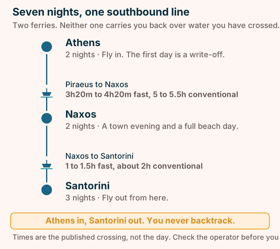
Seven nights, one southbound line. Seven nights, one southbound line. Athens, 2 nights. then Piraeus to Naxos, 3h20m to 4h20m fast, 5 to 5.5h conventional. Naxos, 2 nights. then Naxos to Santorini, 1 to 1.5h fast, about 2h conventional. Santorini, 3 nights. Athens in, Santorini out. You never backtrack. Explained on A 7-day Greece itinerary: Athens, Naxos, and Santorini by ferry. SVG · CC BY 4.0.
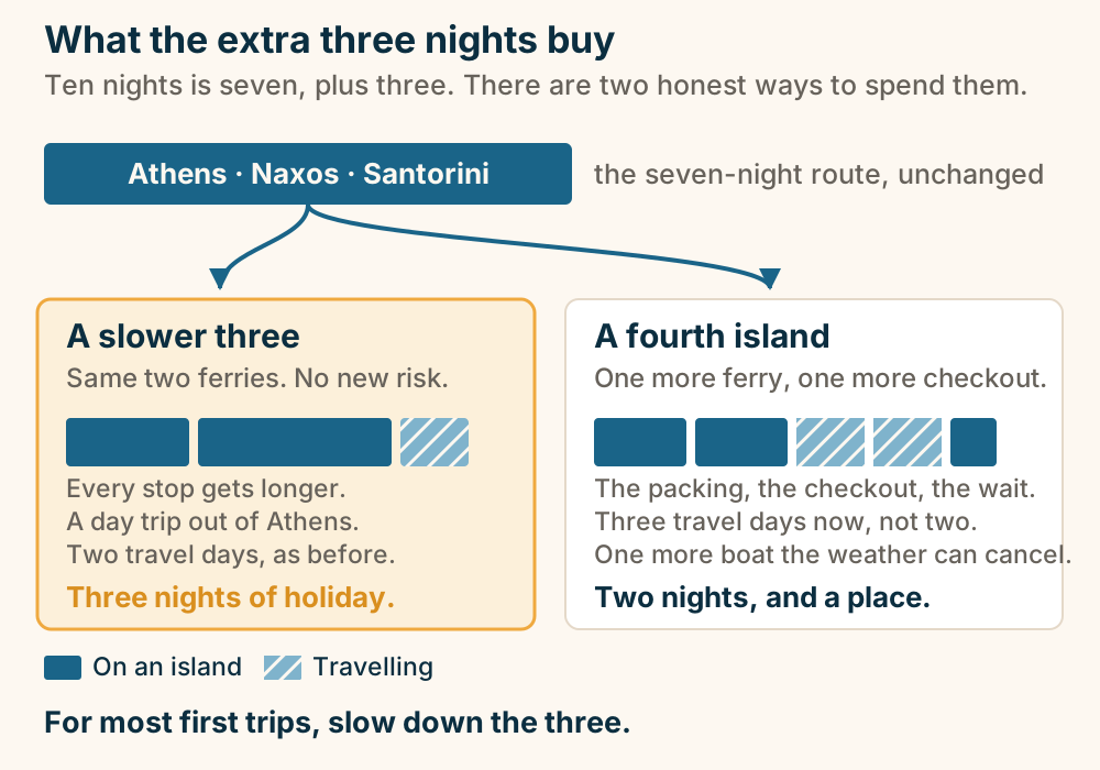
Ten days in Greece: a fourth island, or a slower three. Ten days is the seven-day Athens, Naxos and Santorini route plus three nights. Those three nights buy one of two things: a fourth island, which spends most of a day on itself in packing, checkout and waiting, or a slower pass through the same three stops, which adds no travel and no risk. For most first trips, slow down the three. Explained on A 10-day Greece itinerary: add one island, or slow the three you have. SVG · CC BY 4.0.
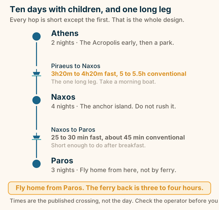
Ten days with children, and one long leg. Ten days with children, and one long leg. Athens, 2 nights. then Piraeus to Naxos, 3h20m to 4h20m fast, 5 to 5.5h conventional. Naxos, 4 nights. then Naxos to Paros, 25 to 30 min fast, about 45 min conventional. Paros, 3 nights. Fly home from Paros. The ferry back is three to four hours. Explained on A Greece family itinerary for 10 days: Naxos, Paros, and afternoons off. SVG · CC BY 4.0.
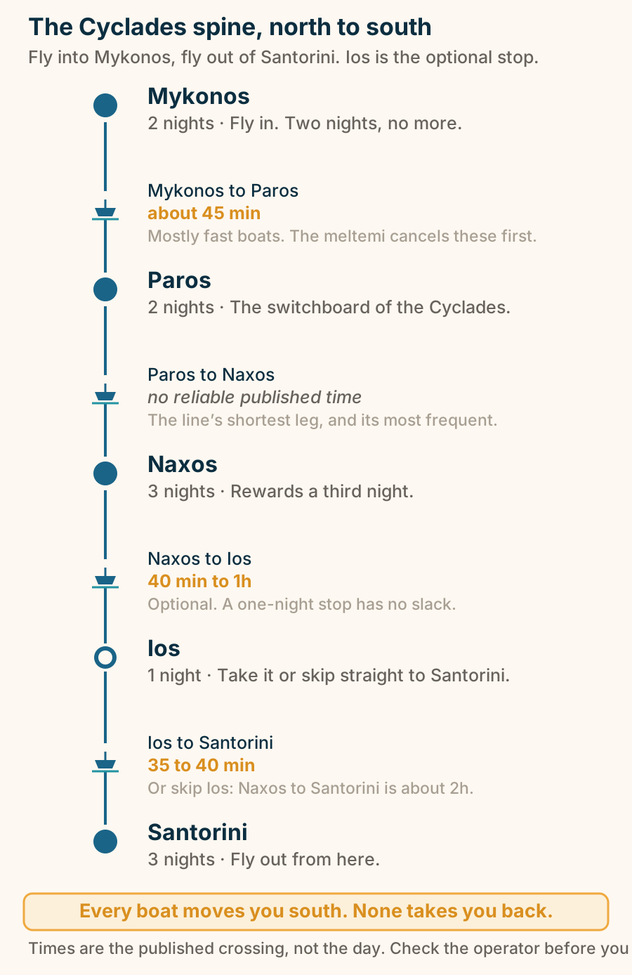
The Cyclades spine, north to south. The Cyclades spine, north to south. Mykonos, 2 nights. then Mykonos to Paros, about 45 min. Paros, 2 nights. then Paros to Naxos. Naxos, 3 nights. then Naxos to Ios, 40 min to 1h. Ios, 1 night. then Ios to Santorini, 35 to 40 min. Santorini, 3 nights. Every boat moves you south. None takes you back. Explained on A Greek island hopping itinerary: Mykonos, Paros, Naxos, and Santorini by ferry. SVG · CC BY 4.0.
Island groups
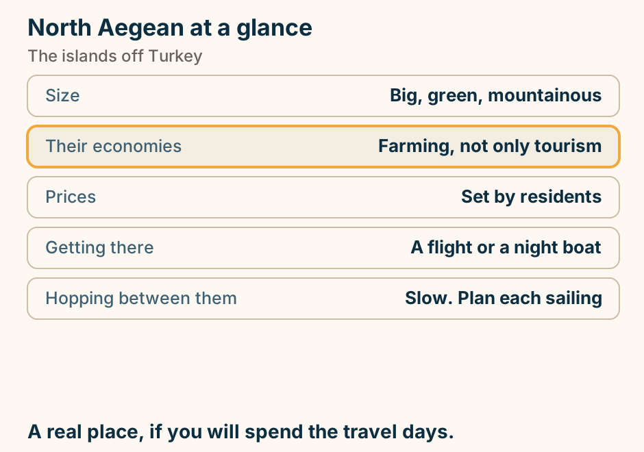
North Aegean at a glance. Size: Big, green, mountainous. Their economies: Farming, not only tourism. Prices: Set by residents. Getting there: A flight or a night boat. Hopping between them: Slow. Plan each sailing. A real place, if you will spend the travel days. Explained on The North Aegean islands: the group nobody flies to. SVG · CC BY 4.0.
Aegina
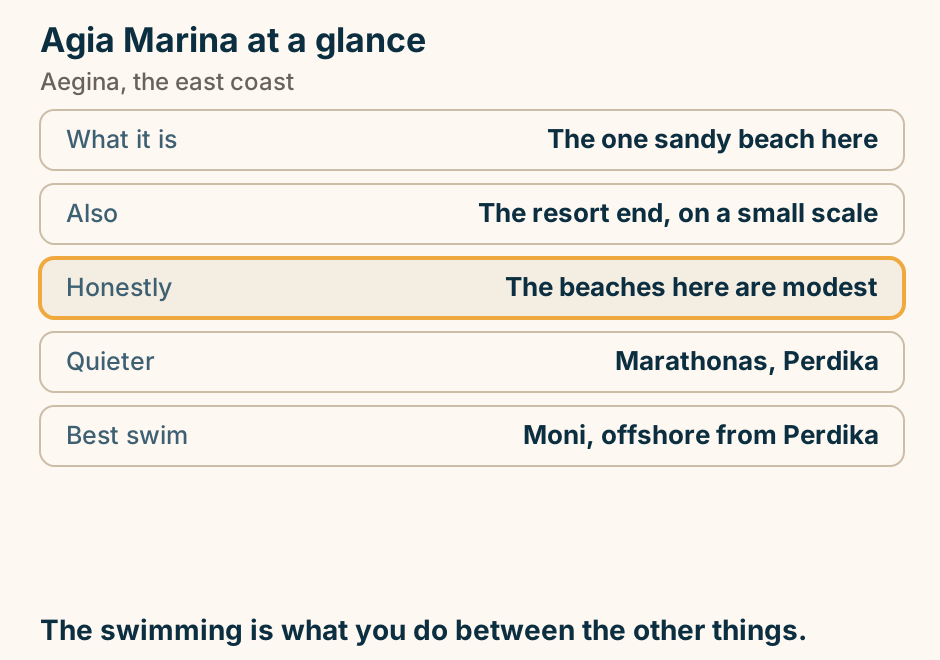
Agia Marina at a glance. What it is: The one sandy beach here. Also: The resort end, on a small scale. Honestly: The beaches here are modest. Quieter: Marathonas, Perdika. Best swim: Moni, offshore from Perdika. The swimming is what you do between the other things. Explained on Agia Marina: the sandy one, on a modest coast. SVG · CC BY 4.0.
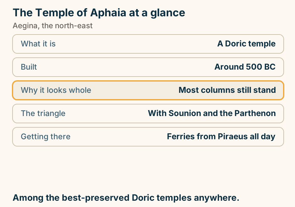
The Temple of Aphaia at a glance. What it is: A Doric temple. Built: Around 500 BC. Why it looks whole: Most columns still stand. The triangle: With Sounion and the Parthenon. Getting there: Ferries from Piraeus all day. Among the best-preserved Doric temples anywhere. Explained on The Temple of Aphaia: most of its columns still standing. SVG · CC BY 4.0.
Amorgos
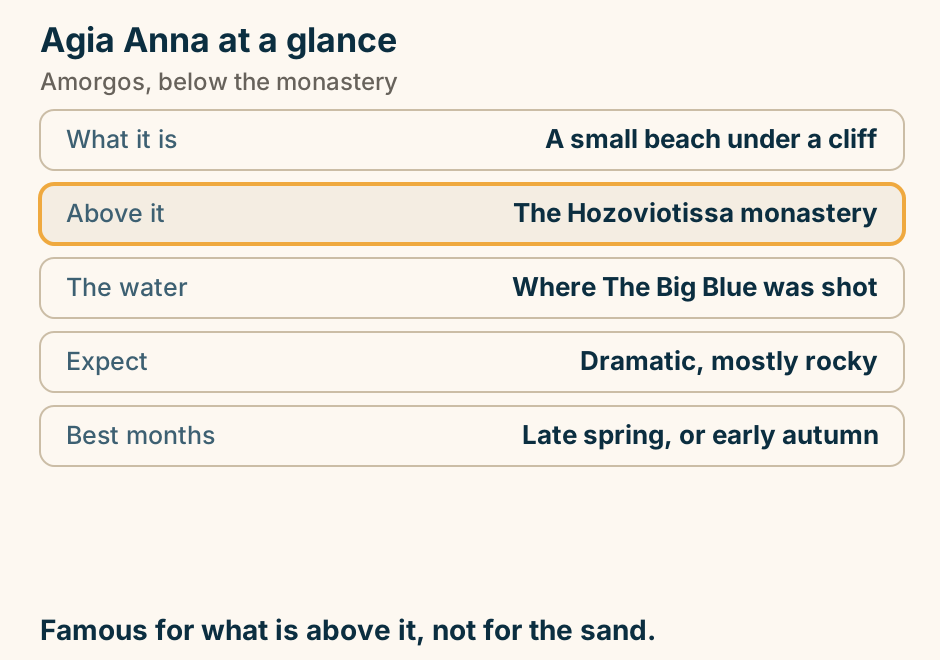
Agia Anna at a glance. What it is: A small beach under a cliff. Above it: The Hozoviotissa monastery. The water: Where The Big Blue was shot. Expect: Dramatic, mostly rocky. Best months: Late spring, or early autumn. Famous for what is above it, not for the sand. Explained on Agia Anna: the cove below Hozoviotissa. SVG · CC BY 4.0.
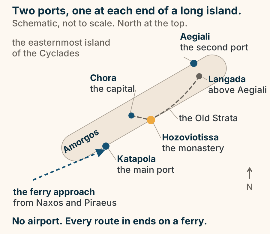
Amorgos has two ports at opposite ends of a long island, and no airport at all. A schematic orientation map of Amorgos, the easternmost island of the Cyclades, drawn as one long narrow island running north-east to south-west. Its two ferry ports sit at opposite ends: Katapola, the main port, on the south coast toward the south-west, and Aegiali, the second port, at the northern end. Chora, the capital, stands inland between them. The Hozoviotissa monastery is marked on the south-east cliff coast below Chora. The Old Strata, the old path, runs the spine from Chora past the monastery to Langada, in the hills above Aegiali. An arrow approaches from the west, the ferry approach from Naxos and Piraeus, and lands at Katapola, because the island has no airport and every route in ends on a ferry. Explained on Amorgos: the dramatic eastern edge of the Cyclades. SVG · CC BY 4.0.
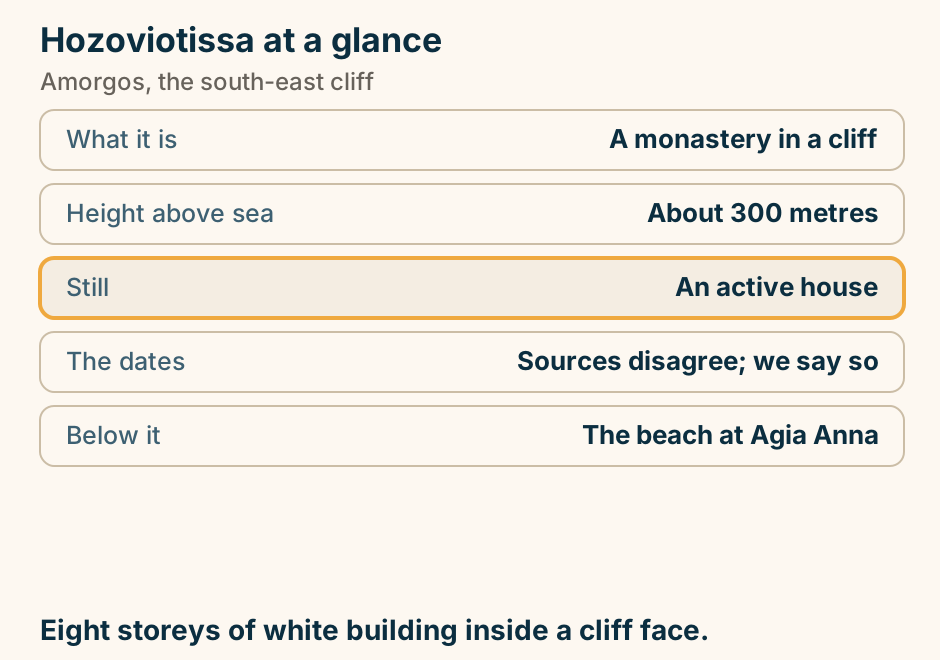
Hozoviotissa at a glance. What it is: A monastery in a cliff. Height above sea: About 300 metres. Still: An active house. The dates: Sources disagree; we say so. Below it: The beach at Agia Anna. Eight storeys of white building inside a cliff face. Explained on Hozoviotissa: eight storeys built into a sheer cliff. SVG · CC BY 4.0.
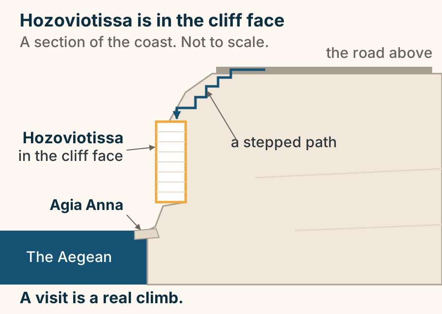
Hozoviotissa is set in the cliff face, so the visit is a climb. A section of the south-east coast of Amorgos. The Aegean is at the foot of the drawing, with the small rocky beach at Agia Anna where the cliff meets the water. Above them a sheer cliff face rises. The narrow white monastery of Hozoviotissa is set into that face, part way up, its floors stacked one above another. At the top of the cliff runs the road, and a stepped path drops from the road along the rock to the monastery entrance. The monastery is not a building on flat ground, and a visit is a real climb. Explained on Amorgos: the dramatic eastern edge of the Cyclades. SVG · CC BY 4.0.
Andros
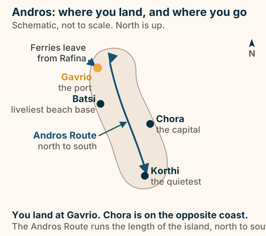
You land at Gavrio, but nothing you came to Andros for is at the port. An outline of Andros with north at the top. Ferries arrive from Rafina at Gavrio, the port, on the north-west coast. Chora, the capital, sits on the opposite east coast. Batsi, the beach base, is on the west below Gavrio, and Korthi, the quietest of the four, is in the south. A single continuous line, the Andros Route, runs the length of the island from north to south. Explained on Andros: the green Cyclades island built for walking. SVG · CC BY 4.0.
Athens
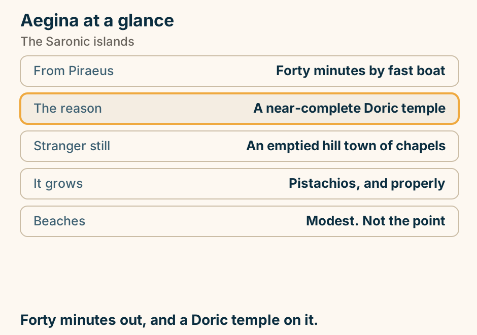
Aegina at a glance. From Piraeus: Forty minutes by fast boat. The reason: A near-complete Doric temple. Stranger still: An emptied hill town of chapels. It grows: Pistachios, and properly. Beaches: Modest. Not the point. Forty minutes out, and a Doric temple on it. Explained on Aegina: the island day trip that actually fits in a day. SVG · CC BY 4.0.
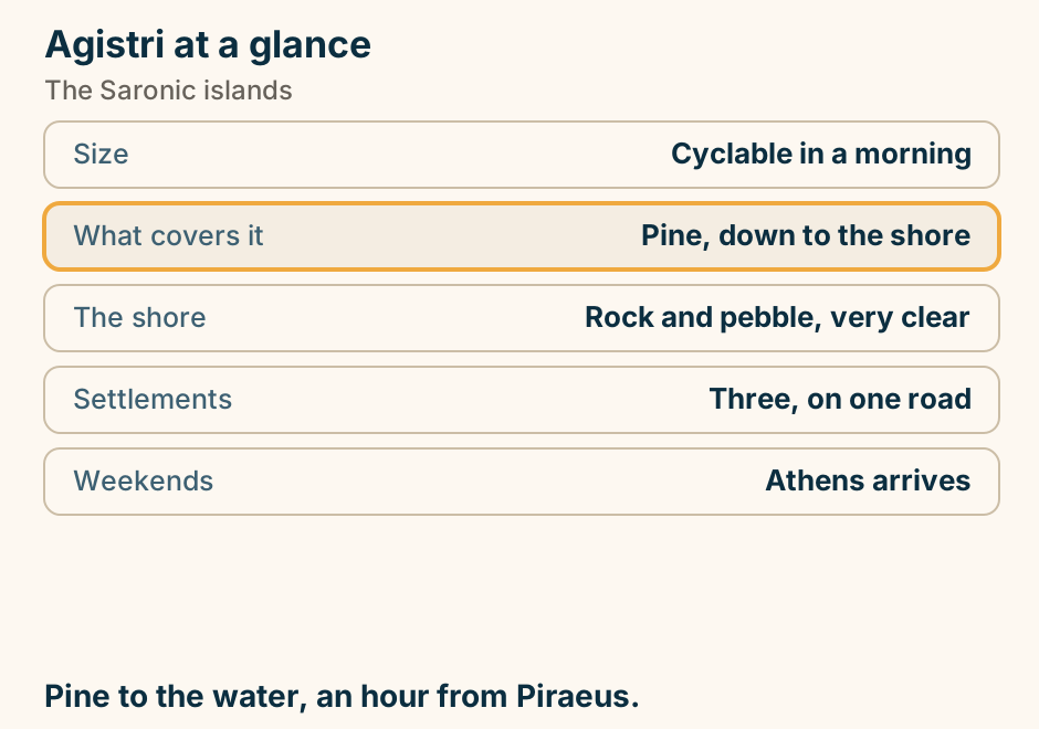
Agistri at a glance. Size: Cyclable in a morning. What covers it: Pine, down to the shore. The shore: Rock and pebble, very clear. Settlements: Three, on one road. Weekends: Athens arrives. Pine to the water, an hour from Piraeus. Explained on Agistri: pine trees, clear water, and a very short crossing. SVG · CC BY 4.0.
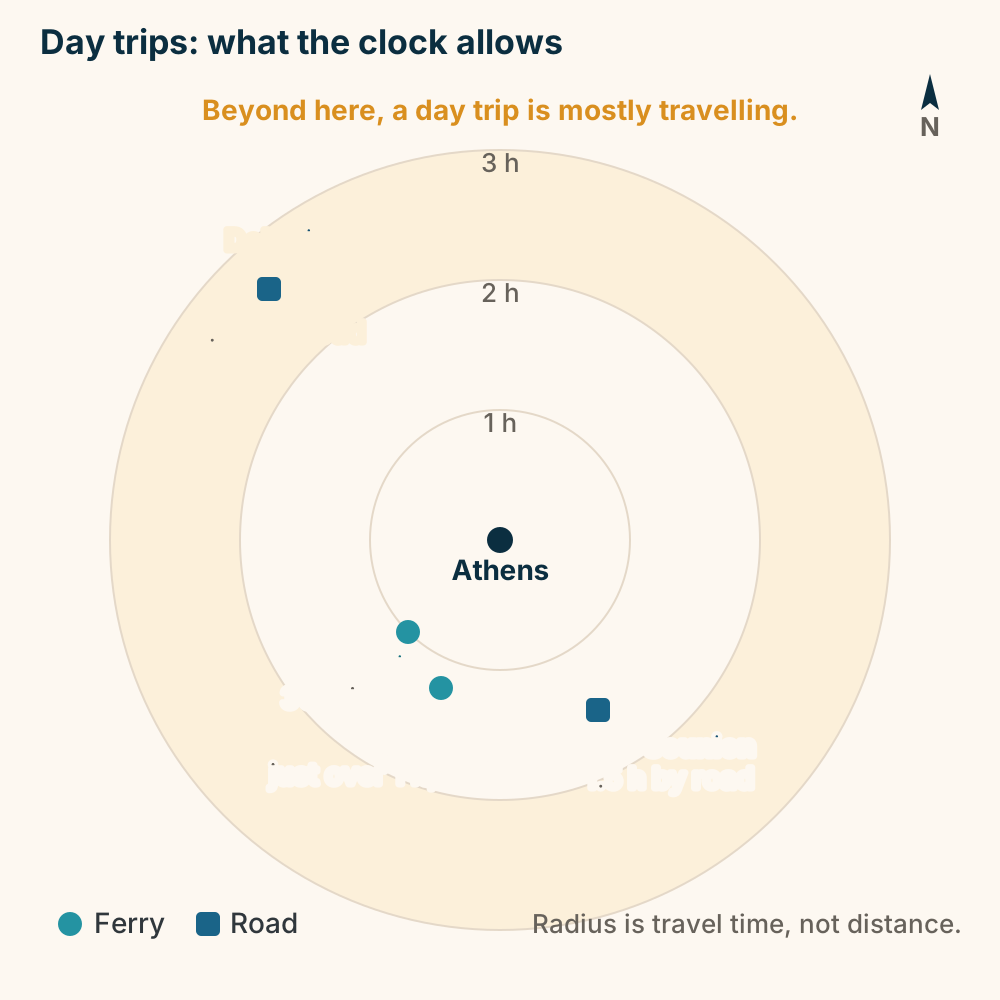
Day trips from Athens, by travel time. A radial chart of one-way travel time from central Athens, not a map of distance. Aegina is about 30 minutes to an hour away by ferry and Hydra a bit over an hour by fast boat, both to the southwest. Cape Sounion is roughly an hour and a half by road to the southeast. Delphi is about two and a half hours by road to the northwest, beyond the two-hour ring where a day trip becomes mostly travelling. Explained on Athens travel guide. SVG · CC BY 4.0.
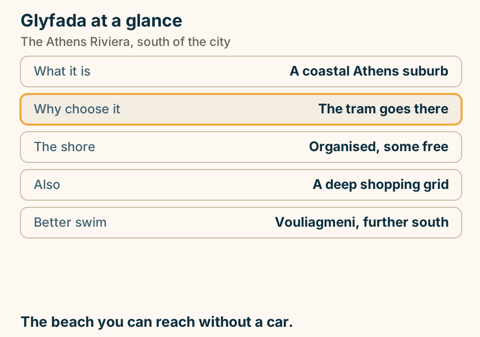
Glyfada at a glance. What it is: A coastal Athens suburb. Why choose it: The tram goes there. The shore: Organised, some free. Also: A deep shopping grid. Better swim: Vouliagmeni, further south. The beach you can reach without a car. Explained on Glyfada: the bit of the Athens coast you can reach by tram. SVG · CC BY 4.0.
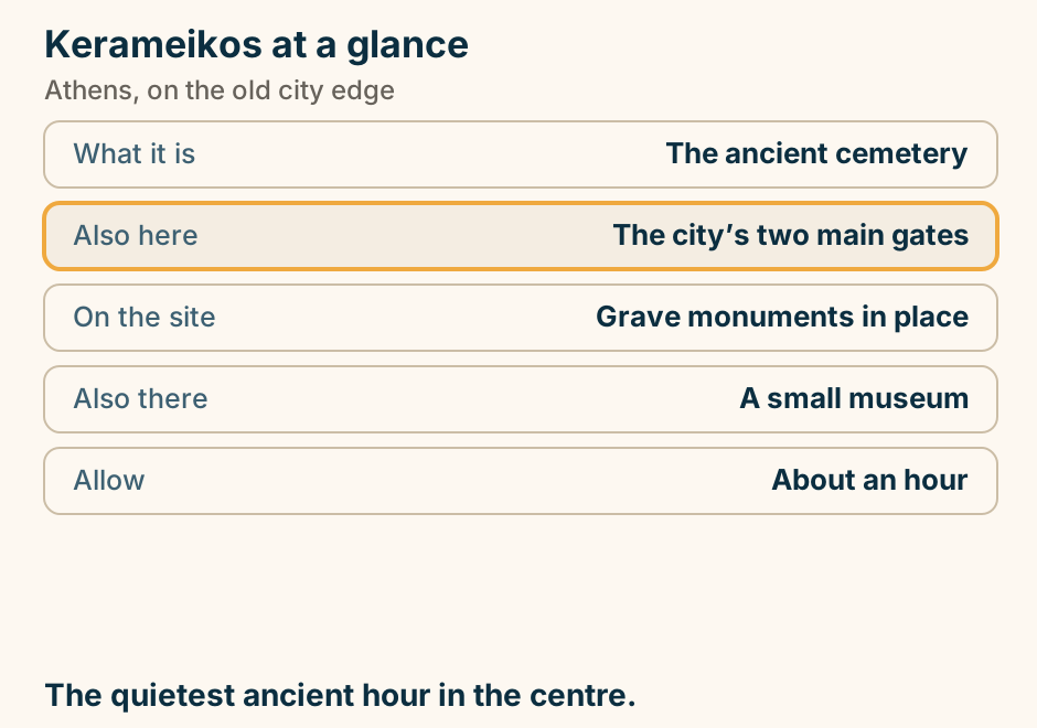
Kerameikos at a glance. What it is: The ancient cemetery. Also here: The city’s two main gates. On the site: Grave monuments in place. Also there: A small museum. Allow: About an hour. The quietest ancient hour in the centre. Explained on Kerameikos: the burial ground where the roads left the city. SVG · CC BY 4.0.
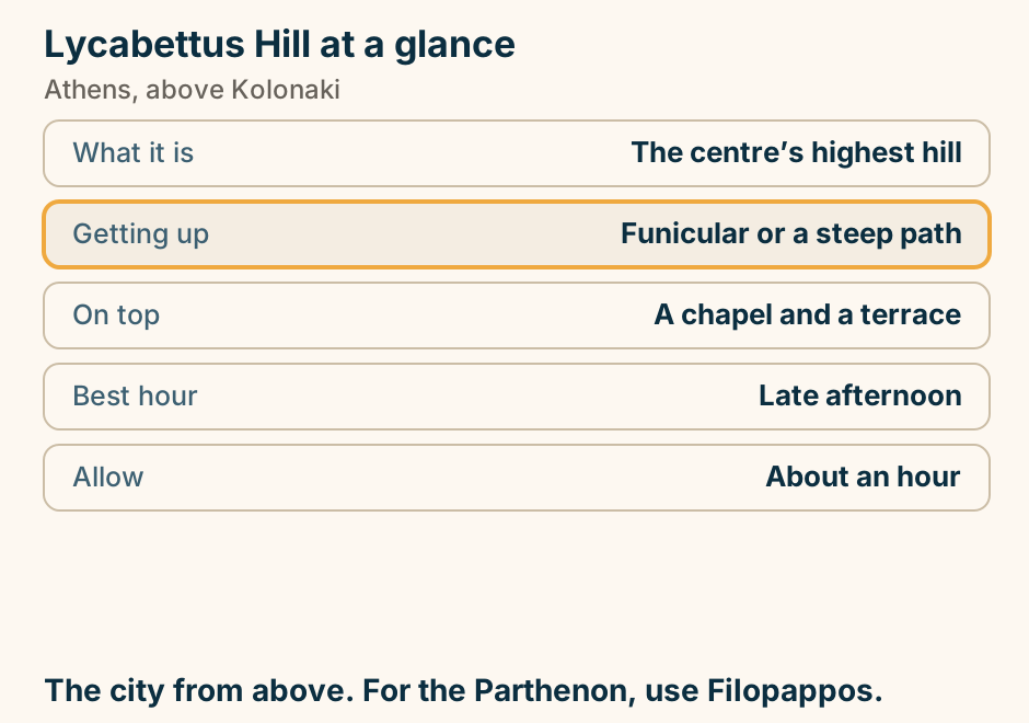
Lycabettus Hill at a glance. What it is: The centre’s highest hill. Getting up: Funicular or a steep path. On top: A chapel and a terrace. Best hour: Late afternoon. Allow: About an hour. The city from above. For the Parthenon, use Filopappos. Explained on Lycabettus Hill: the highest point in central Athens. SVG · CC BY 4.0.
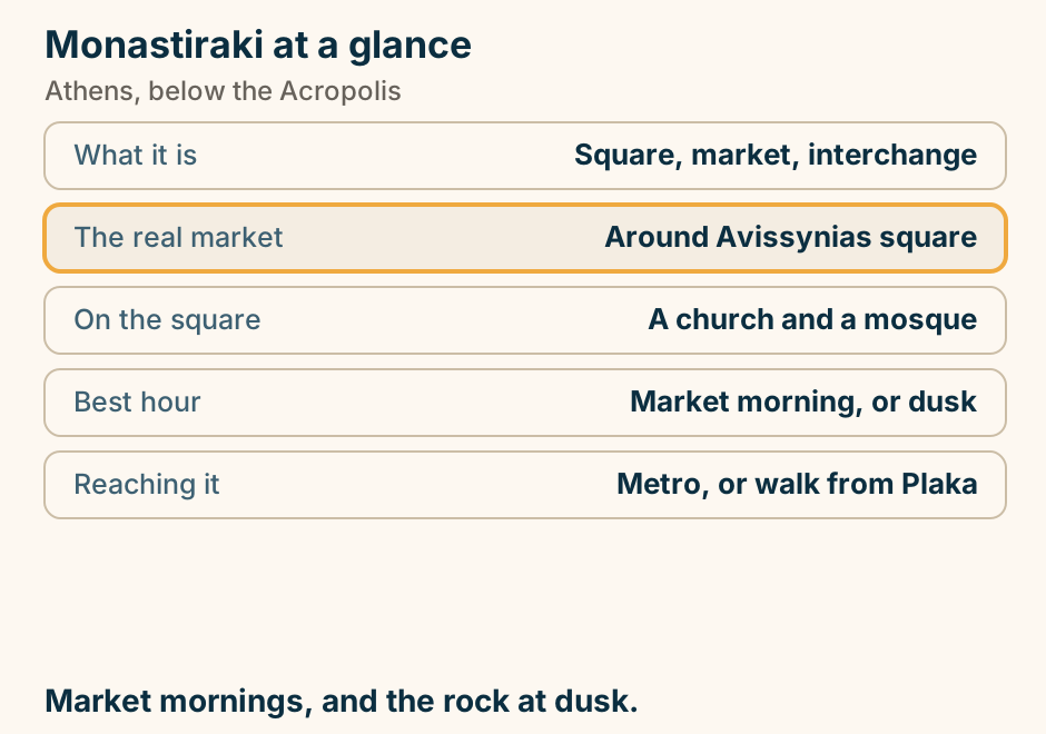
Monastiraki at a glance. What it is: Square, market, interchange. The real market: Around Avissynias square. On the square: A church and a mosque. Best hour: Market morning, or dusk. Reaching it: Metro, or walk from Plaka. Market mornings, and the rock at dusk. Explained on Monastiraki: the loudest corner of old Athens. SVG · CC BY 4.0.
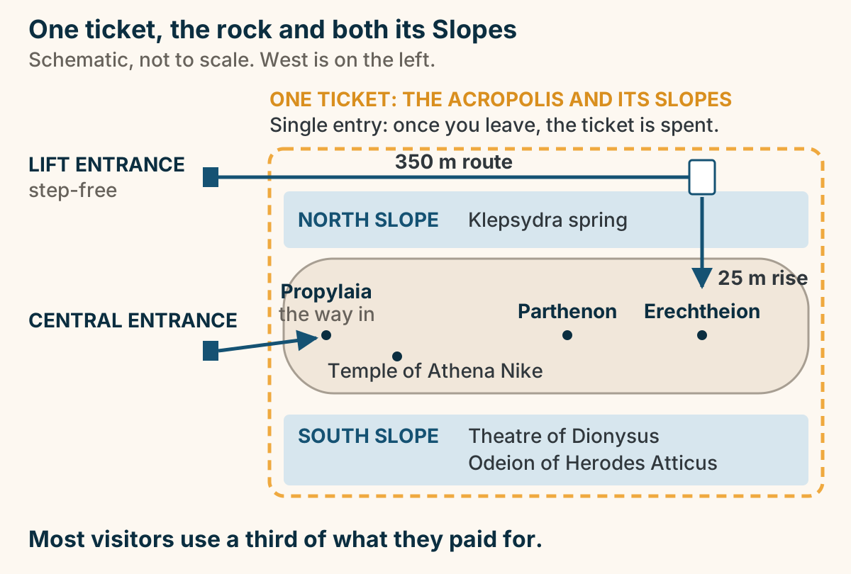
One ticket covers the Acropolis and both its Slopes, and it admits you once. A schematic plan of the Acropolis, with west on the left. A dashed boundary encloses three things, and one ticket covers all of them: the North Slope, which carries the Klepsydra spring; the rock itself, which carries the Propylaia at its western end, the way in, with the temple of Athena Nike just south of it, then the Parthenon and the Erechtheion; and the South Slope, which carries the Theatre of Dionysus and the Odeion of Herodes Atticus. The ticket is single entry: once you leave, it is spent. On the west there are two ways in. The central entrance runs to the Propylaia, which is the funnel everybody goes through. North of it, a separate step-free entrance runs along a route of about 350 metres to a lift, which rises about 25 metres and arrives on the plateau north of the Erechtheion. Most visitors use a third of what they paid for. Explained on The Acropolis in Athens: how entry actually works. SVG · CC BY 4.0.
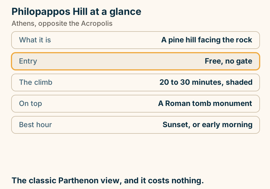
Philopappos Hill at a glance. What it is: A pine hill facing the rock. Entry: Free, no gate. The climb: 20 to 30 minutes, shaded. On top: A Roman tomb monument. Best hour: Sunset, or early morning. The classic Parthenon view, and it costs nothing. Explained on Philopappos Hill: the best view of the Acropolis costs nothing. SVG · CC BY 4.0.
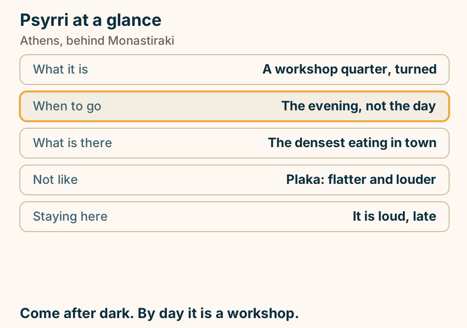
Psyrri at a glance. What it is: A workshop quarter, turned. When to go: The evening, not the day. What is there: The densest eating in town. Not like: Plaka: flatter and louder. Staying here: It is loud, late. Come after dark. By day it is a workshop. Explained on Psyrri: workshops by day, the loudest dinner in Athens by night. SVG · CC BY 4.0.
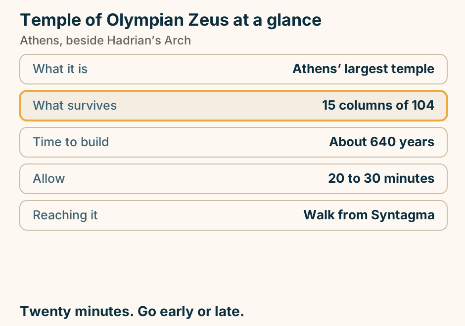
Temple of Olympian Zeus at a glance. What it is: Athens’ largest temple. What survives: 15 columns of 104. Time to build: About 640 years. Allow: 20 to 30 minutes. Reaching it: Walk from Syntagma. Twenty minutes. Go early or late. Explained on The Temple of Olympian Zeus, and the 640 years it took. SVG · CC BY 4.0.
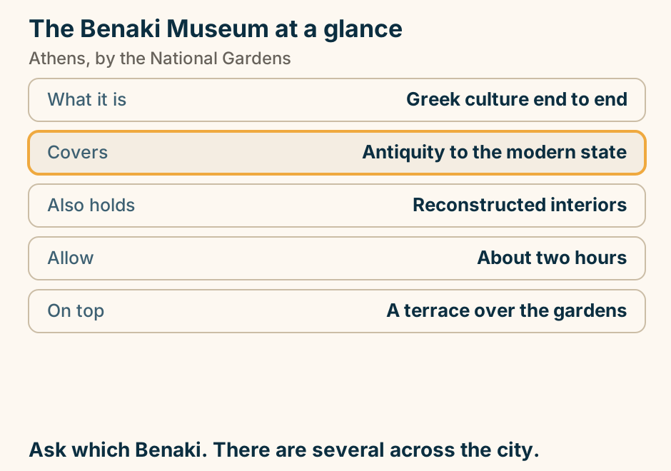
The Benaki Museum at a glance. What it is: Greek culture end to end. Covers: Antiquity to the modern state. Also holds: Reconstructed interiors. Allow: About two hours. On top: A terrace over the gardens. Ask which Benaki. There are several across the city. Explained on The Benaki: the museum that covers everything else. SVG · CC BY 4.0.
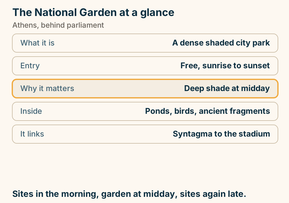
The National Garden at a glance. What it is: A dense shaded city park. Entry: Free, sunrise to sunset. Why it matters: Deep shade at midday. Inside: Ponds, birds, ancient fragments. It links: Syntagma to the stadium. Sites in the morning, garden at midday, sites again late. Explained on The National Garden: the coolest thirty acres in Athens. SVG · CC BY 4.0.
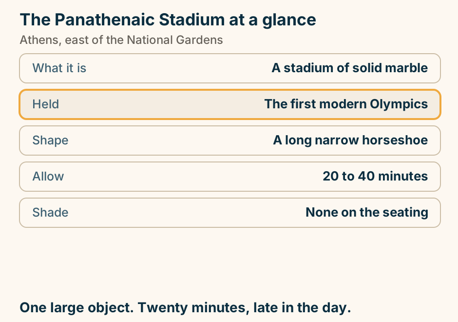
The Panathenaic Stadium at a glance. What it is: A stadium of solid marble. Held: The first modern Olympics. Shape: A long narrow horseshoe. Allow: 20 to 40 minutes. Shade: None on the seating. One large object. Twenty minutes, late in the day. Explained on The Panathenaic Stadium: a stadium built entirely of marble. SVG · CC BY 4.0.
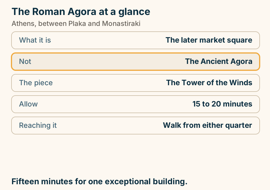
The Roman Agora at a glance. What it is: The later market square. Not: The Ancient Agora. The piece: The Tower of the Winds. Allow: 15 to 20 minutes. Reaching it: Walk from either quarter. Fifteen minutes for one exceptional building. Explained on The Roman Agora: the other agora, and the tower inside it. SVG · CC BY 4.0.
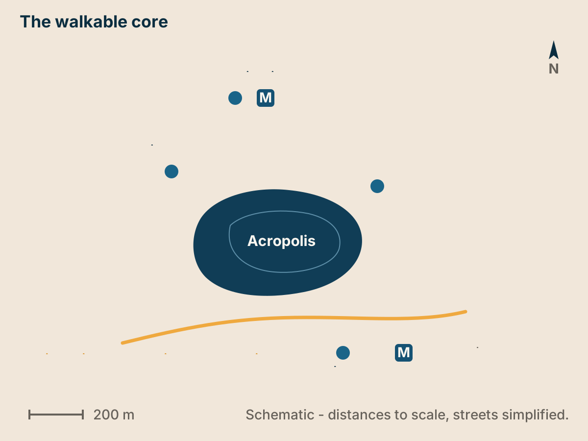
The walkable core of Athens. Schematic map, north up. The Acropolis, the Ancient Agora, Plaka and Monastiraki sit within a few hundred metres of each other, linked by the pedestrianised Dionysiou Areopagitou street along the south side of the Acropolis. The Acropolis Museum and the Acropoli and Monastiraki metro stations sit on the same walk. Explained on Athens travel guide. SVG · CC BY 4.0.
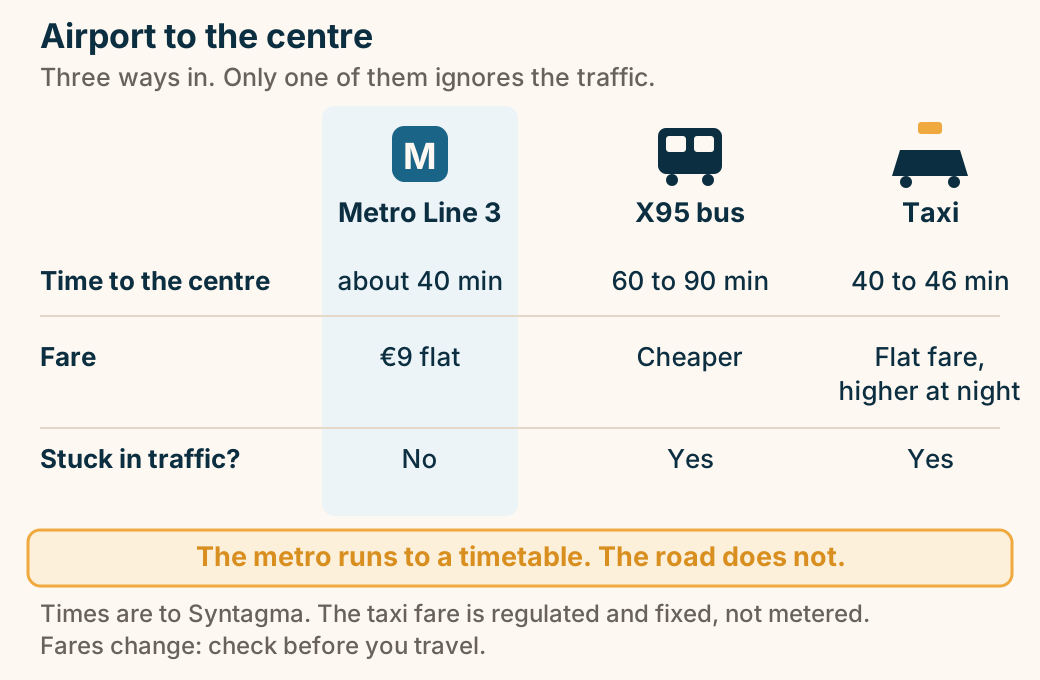
Three ways from Athens airport into the city. Metro Line 3 reaches Syntagma in about 40 minutes for a flat 9 euro airport fare and is unaffected by traffic. The X95 express bus is cheaper but takes 60 to 90 minutes depending on traffic. A taxi takes about 40 to 46 minutes off-peak on a fixed flat fare that is higher at night, and is also subject to traffic. Explained on Athens travel guide. SVG · CC BY 4.0.
Chios
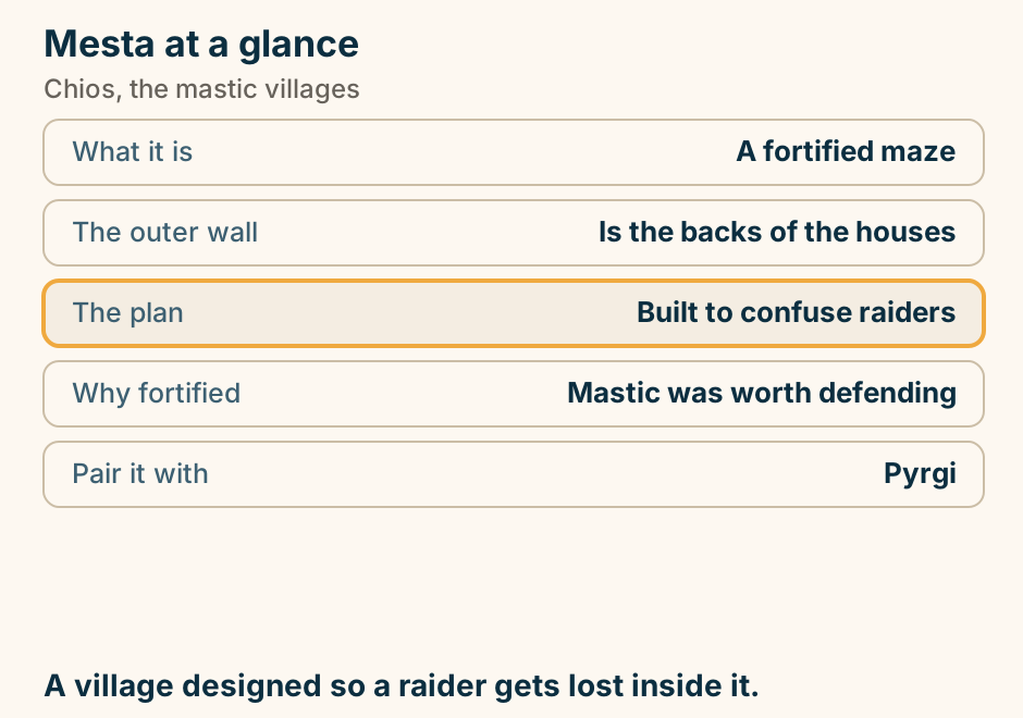
Mesta at a glance. What it is: A fortified maze. The outer wall: Is the backs of the houses. The plan: Built to confuse raiders. Why fortified: Mastic was worth defending. Pair it with: Pyrgi. A village designed so a raider gets lost inside it. Explained on Mesta: a village built to lose people inside. SVG · CC BY 4.0.
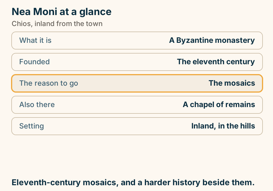
Nea Moni at a glance. What it is: A Byzantine monastery. Founded: The eleventh century. The reason to go: The mosaics. Also there: A chapel of remains. Setting: Inland, in the hills. Eleventh-century mosaics, and a harder history beside them. Explained on Nea Moni: eleventh-century mosaics, inland on Chios. SVG · CC BY 4.0.
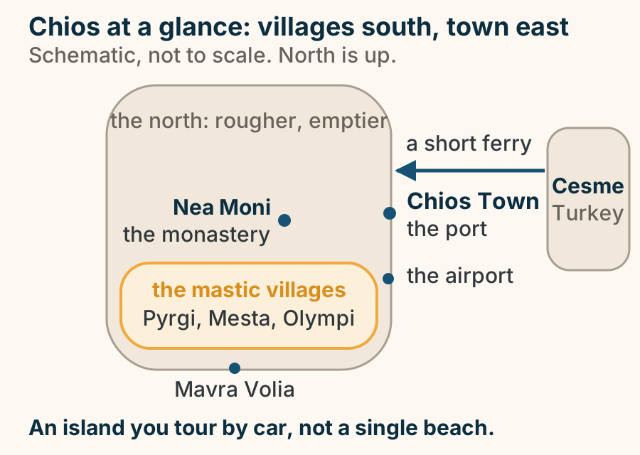
On Chios the draws sit far apart: mastic villages south, town and port east, Nea Moni inland, Turkey a short ferry east. A schematic map of Chios with north at the top. Chios Town, with the port and the airport, sits on the east-central coast. Nea Moni, the monastery, stands inland to its west. The mastic villages, Pyrgi, Mesta and Olympi, are highlighted across the south, and Mavra Volia lies on the far south coast. The north is rougher and emptier. To the east, across the strait, Cesme in Turkey is reached by a short ferry. The draws are spread out, so this is an island you tour by car. Explained on Chios: the mastic island of the North Aegean. SVG · CC BY 4.0.
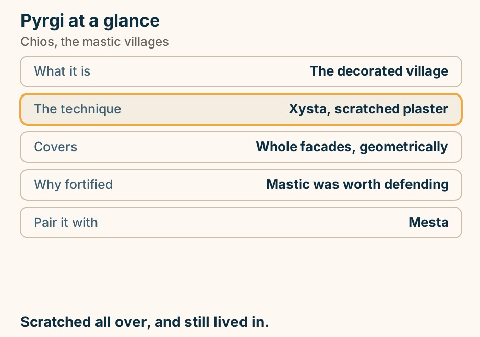
Pyrgi at a glance. What it is: The decorated village. The technique: Xysta, scratched plaster. Covers: Whole facades, geometrically. Why fortified: Mastic was worth defending. Pair it with: Mesta. Scratched all over, and still lived in. Explained on Pyrgi: the village that is scratched all over. SVG · CC BY 4.0.
Corfu
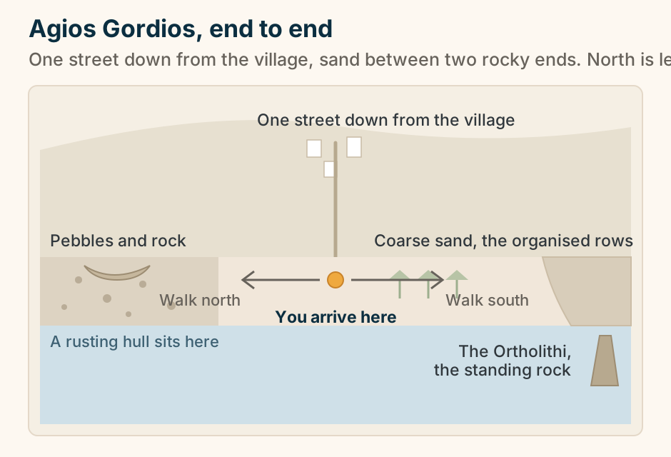
Agios Gordios end to end: a rocky north, a sandy middle you arrive into, and a cliff and standing rock to the south. A schematic long-section of the beach at Agios Gordios on Corfu, drawn with north on the left and south on the right, not to scale. Behind the shore a hillside carries the village, with one street running down through a few buildings to meet the sand in the middle of the beach; the point where it reaches the sand is marked. The north end is pebble and rock with a small rusting boat hull sitting on it; the middle is coarse sand with a short row of umbrellas; the south end is sand running on under a steepening cliff, with the Ortholithi, an upright rock, standing in the sea. Two arrows from the arrival point show that you can walk north or south from where the street lands. Explained on Agios Gordios Corfu: the beach under the standing rock. SVG · CC BY 4.0.
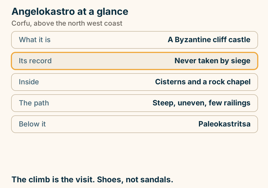
Angelokastro at a glance. What it is: A Byzantine cliff castle. Its record: Never taken by siege. Inside: Cisterns and a rock chapel. The path: Steep, uneven, few railings. Below it: Paleokastritsa. The climb is the visit. Shoes, not sandals. Explained on Angelokastro: a Byzantine castle on a cliff nobody could take. SVG · CC BY 4.0.
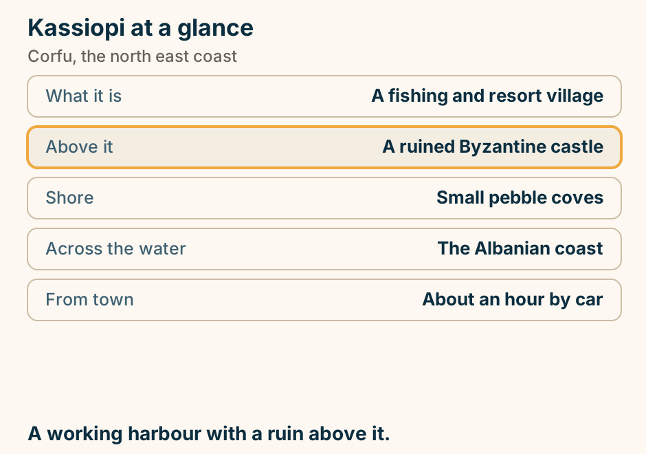
Kassiopi at a glance. What it is: A fishing and resort village. Above it: A ruined Byzantine castle. Shore: Small pebble coves. Across the water: The Albanian coast. From town: About an hour by car. A working harbour with a ruin above it. Explained on Kassiopi: a working harbour under a ruined castle. SVG · CC BY 4.0.
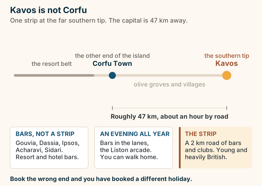
Kavos is not Corfu: the two ends of one island. Corfu drawn as a line running from the north of the island down to its southern tip. Kavos sits at the southern tip and is marked as the loud one. Corfu Town, the island’s capital and its year-round evening, sits at the other end, roughly 47 kilometres and about an hour of road away, and the road distance between the two is drawn as a measured bar. Between them, a resort belt covering Gouvia, Dassia, Ipsos, Acharavi and Sidari runs bars rather than a strip. The long stretch of island between Corfu Town and Kavos is marked quiet: olive groves and villages. Three cards describe each register in turn: the belt has bars but no strip, Corfu Town has bars in the lanes, the Liston arcade and a walk home, and Kavos is a two-kilometre road of bars and clubs with a young, heavily British crowd. Which end of the island you book decides your night. Explained on Corfu nightlife: one strip, one old town, and 47 km between them. SVG · CC BY 4.0.
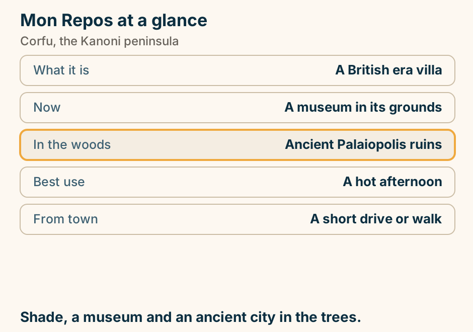
Mon Repos at a glance. What it is: A British era villa. Now: A museum in its grounds. In the woods: Ancient Palaiopolis ruins. Best use: A hot afternoon. From town: A short drive or walk. Shade, a museum and an ancient city in the trees. Explained on Mon Repos: a villa, a wood, and the ancient city under it. SVG · CC BY 4.0.
Mount Pantokrator at a glance. What it is: The summit of Corfu. The view: To Albania, and to Italy. On top: A monastery and a mast. The road: Narrow, steep, switchbacked. The risk: Cloud sits on the summit. The whole island at once. Go early, go clear. Explained on Mount Pantokrator: the whole island from one place. SVG · CC BY 4.0.
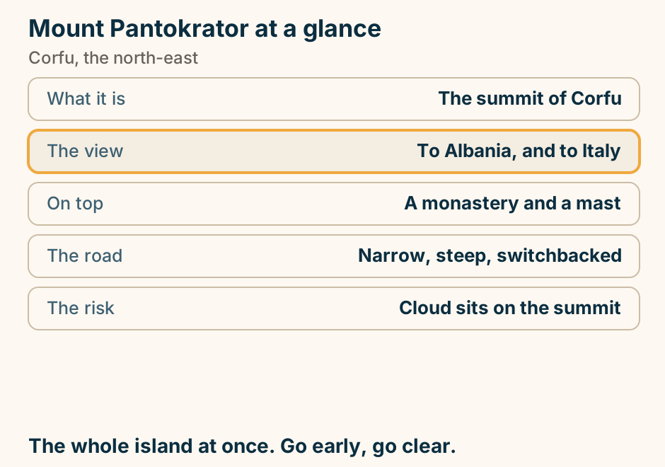
Mouse Island at a glance. What it is: A wooded islet with a chapel. The view: From the Kanoni terrace. On foot: The Vlacherna causeway. Overhead: Aircraft landing low. Allow: Half an hour. The view is from Kanoni, not from the islet. Explained on Mouse Island: the islet in every Corfu photograph. SVG · CC BY 4.0.
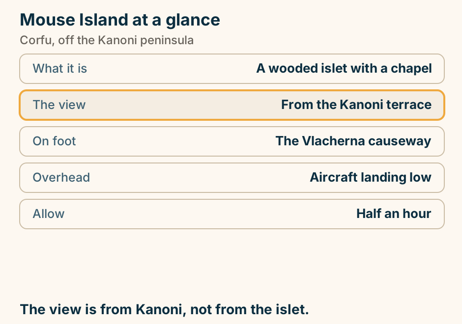
Old Perithia at a glance. What it is: The oldest village on Corfu. Why it emptied: Built inland against raiders. What stands: Stone houses, eight churches. The visit: Half an hour, then lunch. The road: Narrow, winding, uphill. A village that emptied, and is filling again. Explained on Old Perithia: the village Corfu walked away from. SVG · CC BY 4.0.
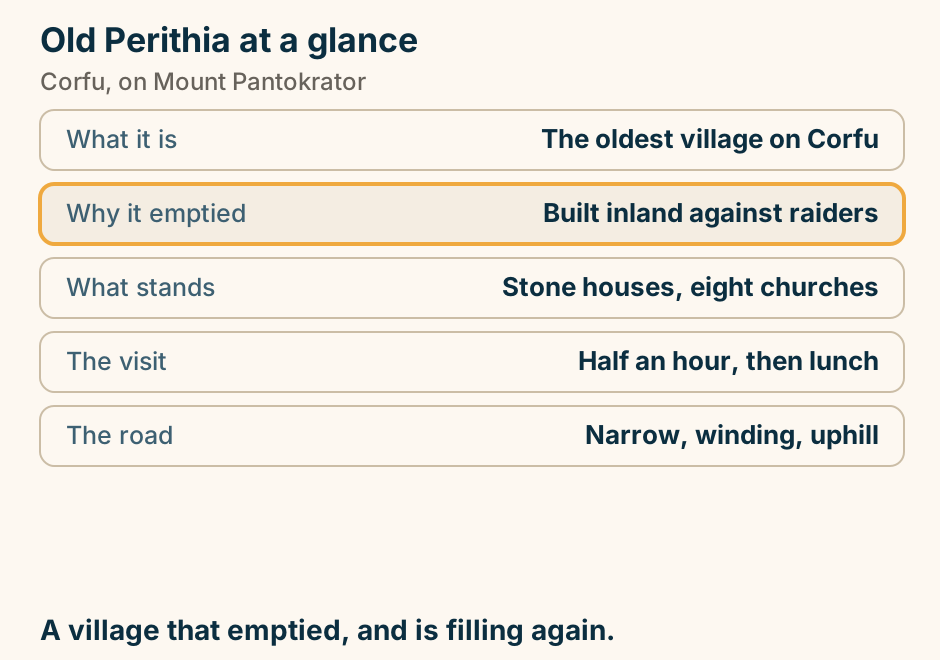
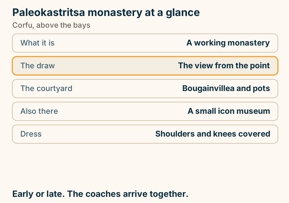
Paleokastritsa monastery at a glance. What it is: A working monastery. The draw: The view from the point. The courtyard: Bougainvillea and pots. Also there: A small icon museum. Dress: Shoulders and knees covered. Early or late. The coaches arrive together. Explained on Paleokastritsa monastery: a courtyard above the bays. SVG · CC BY 4.0.
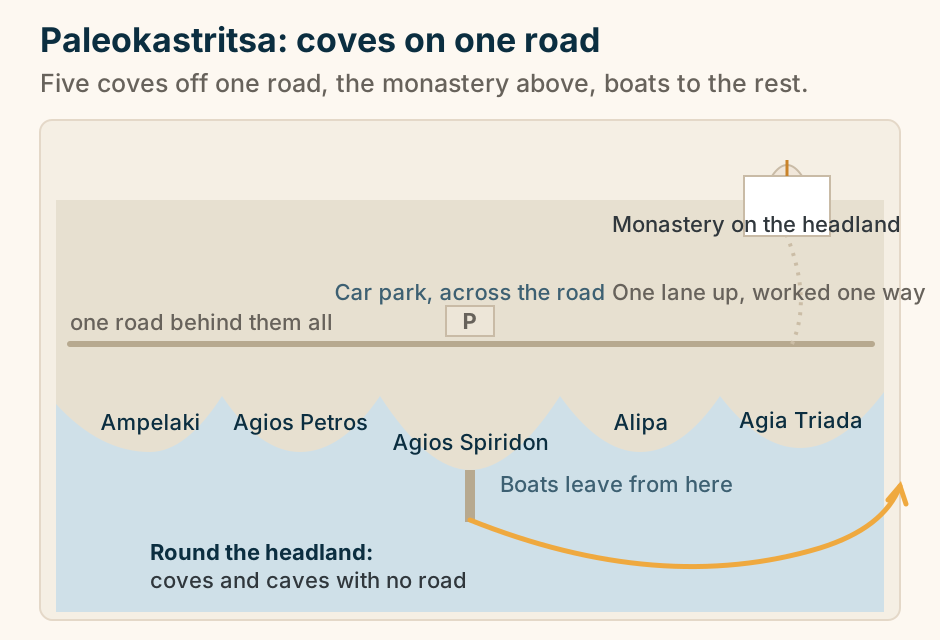
Paleokastritsa: five coves along one road, the monastery on the headland, and boats round the headland to coves with no road. A schematic strip of the bay at Paleokastritsa on Corfu, not to scale and with no compass. Five coves are cut into headlands along a single road that runs behind all of them, with the ground stepping up between the road and the shore. The coves are labelled Ampelaki, Agios Petros, Agios Spiridon, Alipa and Agia Triada. Behind the middle cove, Agios Spiridon, a car park sits across the road and a short jetty runs into the water where boats leave. Above, on the headland, the Monastery of the Holy Theotokos is drawn as a walled block with a bell arch, reached by one lane that climbs from the road. An arrowed arc runs from the jetty round the far headland to a cove off the drawn coastline, standing for the coves and caves that have no road to them. Explained on Paleokastritsa Corfu: which cove, and when to go. SVG · CC BY 4.0.
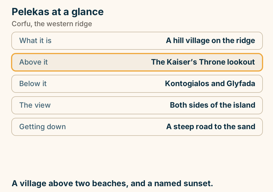
Pelekas at a glance. What it is: A hill village on the ridge. Above it: The Kaiser’s Throne lookout. Below it: Kontogialos and Glyfada. The view: Both sides of the island. Getting down: A steep road to the sand. A village above two beaches, and a named sunset. Explained on Pelekas: a hill village, and a sunset with a name. SVG · CC BY 4.0.
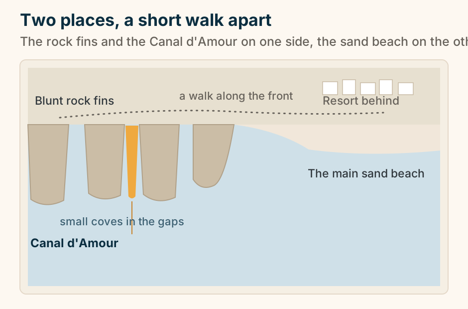
Sidari from above: the rock fins and the Canal d’Amour on one side, the main sand beach on the other, a short walk apart. A schematic plan of the Sidari waterfront on Corfu seen from above, not to scale. On the right is the long arc of the main sand beach, with a block of resort buildings behind it. On the left, blunt fins of soft rock reach out into the sea with small coves in the gaps between them; the outermost fin runs off the edge of the frame so no number of coves is implied. One narrow slot of water between two fins is picked out as the Canal d’Amour. A path along the front joins the two places. Explained on Canal d’Amour, Corfu: rock coves and one narrow channel. SVG · CC BY 4.0.
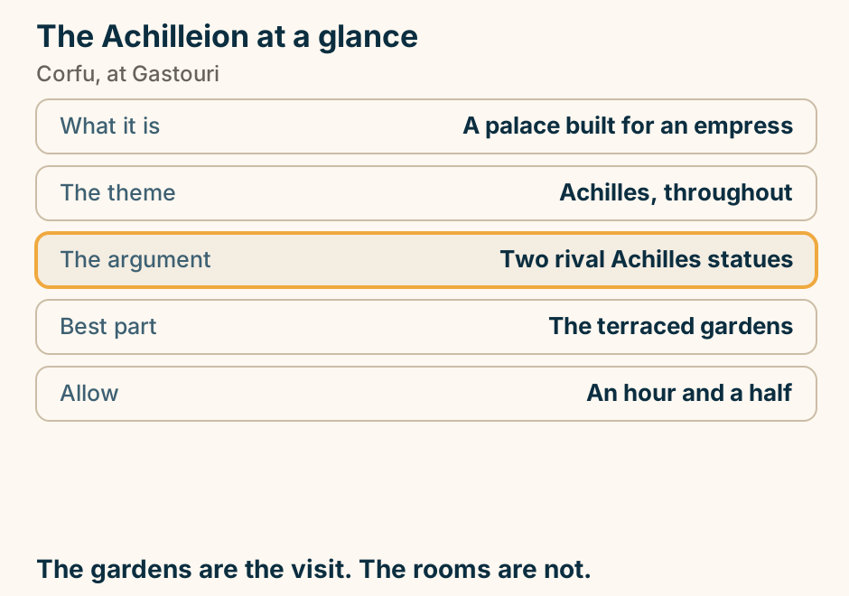
The Achilleion at a glance. What it is: A palace built for an empress. The theme: Achilles, throughout. The argument: Two rival Achilles statues. Best part: The terraced gardens. Allow: An hour and a half. The gardens are the visit. The rooms are not. Explained on The Achilleion: a grieving empress, then a Kaiser. SVG · CC BY 4.0.
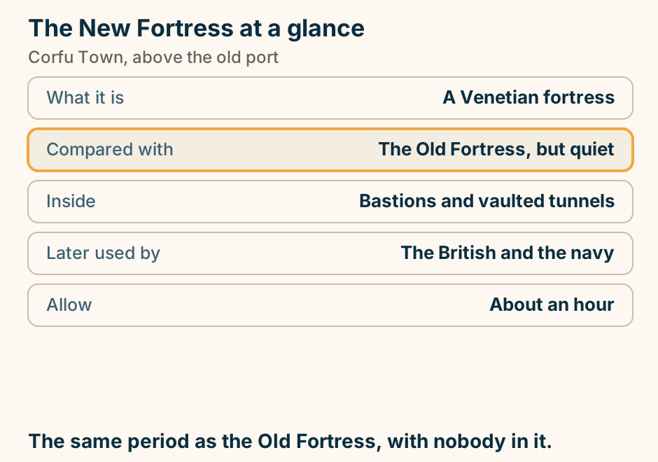
The New Fortress at a glance. What it is: A Venetian fortress. Compared with: The Old Fortress, but quiet. Inside: Bastions and vaulted tunnels. Later used by: The British and the navy. Allow: About an hour. The same period as the Old Fortress, with nobody in it. Explained on The New Fortress: the other Venetian fortress, with nobody in it. SVG · CC BY 4.0.
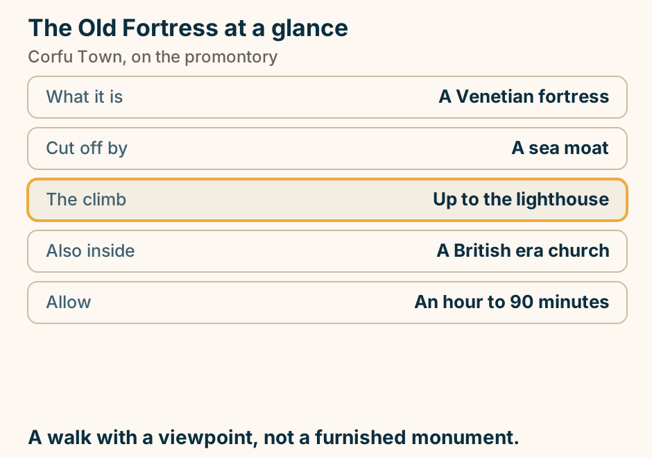
The Old Fortress at a glance. What it is: A Venetian fortress. Cut off by: A sea moat. The climb: Up to the lighthouse. Also inside: A British era church. Allow: An hour to 90 minutes. A walk with a viewpoint, not a furnished monument. Explained on The Old Fortress: the promontory that started Corfu Town. SVG · CC BY 4.0.
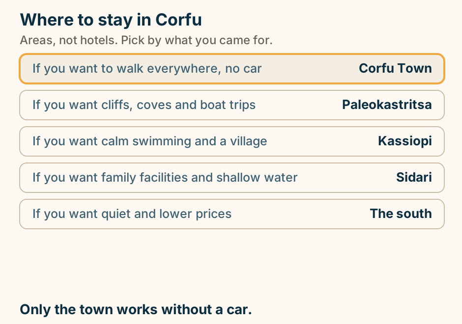
Where to stay in Corfu: pick your base. A list of choices for where to stay in Corfu. If you want to walk everywhere, no car, stay in Corfu Town. If you want cliffs, coves and boat trips, stay in Paleokastritsa. If you want calm swimming and a village, stay in Kassiopi. If you want family facilities and shallow water, stay in Sidari. If you want quiet and lower prices, stay in The south. Only the town works without a car. Explained on Where to stay in Corfu. SVG · CC BY 4.0.
Crete
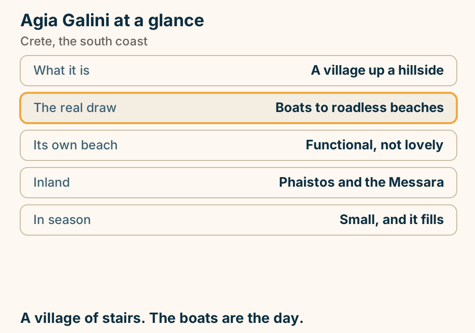
Agia Galini at a glance. What it is: A village up a hillside. The real draw: Boats to roadless beaches. Its own beach: Functional, not lovely. Inland: Phaistos and the Messara. In season: Small, and it fills. A village of stairs. The boats are the day. Explained on Agia Galini: a fishing village that grew up a cliff. SVG · CC BY 4.0.
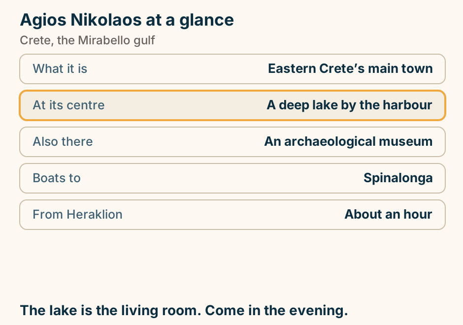
Agios Nikolaos at a glance. What it is: Eastern Crete’s main town. At its centre: A deep lake by the harbour. Also there: An archaeological museum. Boats to: Spinalonga. From Heraklion: About an hour. The lake is the living room. Come in the evening. Explained on Agios Nikolaos: a harbour town wrapped around a lake. SVG · CC BY 4.0.
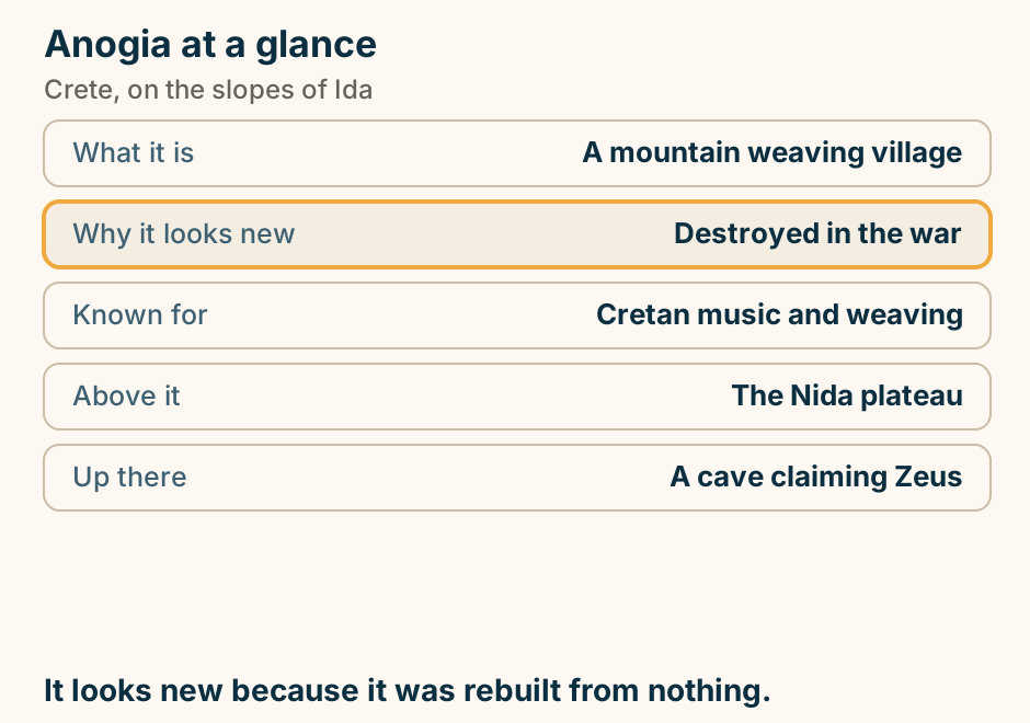
Anogia at a glance. What it is: A mountain weaving village. Why it looks new: Destroyed in the war. Known for: Cretan music and weaving. Above it: The Nida plateau. Up there: A cave claiming Zeus. It looks new because it was rebuilt from nothing. Explained on Anogia: a village rebuilt from nothing, and the music that came with it. SVG · CC BY 4.0.
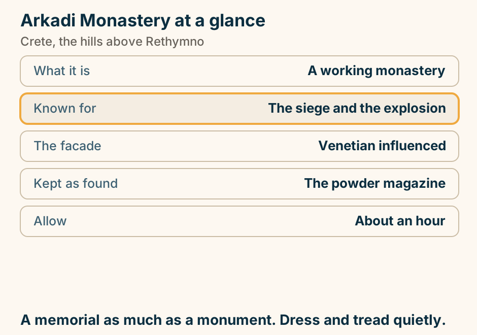
Arkadi Monastery at a glance. What it is: A working monastery. Known for: The siege and the explosion. The facade: Venetian influenced. Kept as found: The powder magazine. Allow: About an hour. A memorial as much as a monument. Dress and tread quietly. Explained on Arkadi Monastery: the building at the centre of Crete’s story. SVG · CC BY 4.0.
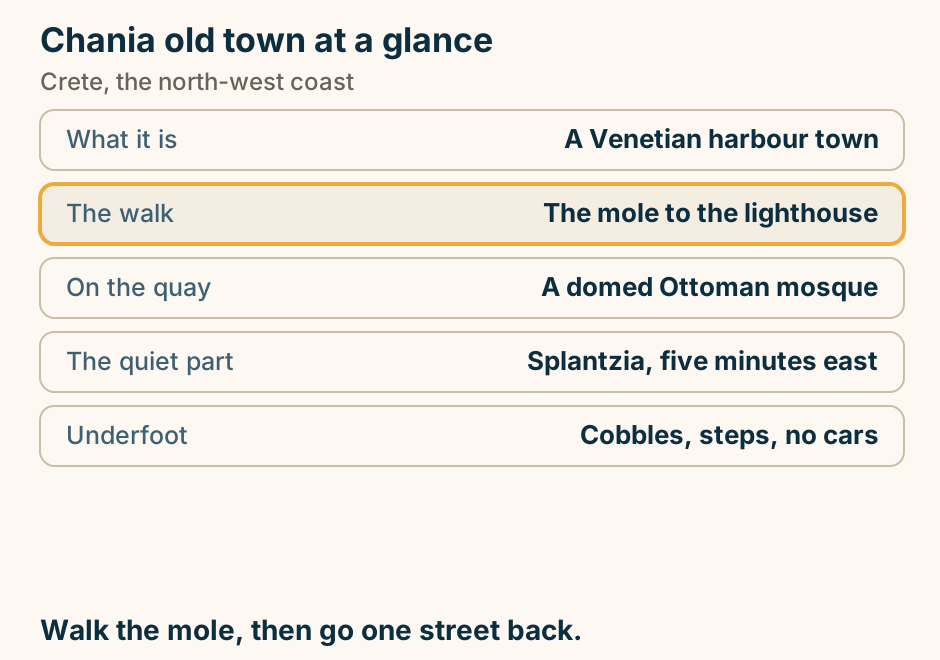
Chania old town at a glance. What it is: A Venetian harbour town. The walk: The mole to the lighthouse. On the quay: A domed Ottoman mosque. The quiet part: Splantzia, five minutes east. Underfoot: Cobbles, steps, no cars. Walk the mole, then go one street back. Explained on Chania old town: a Venetian harbour with the layers still showing. SVG · CC BY 4.0.
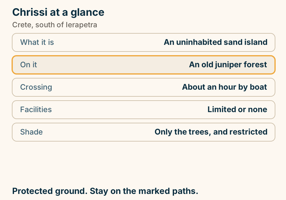
Chrissi at a glance. What it is: An uninhabited sand island. On it: An old juniper forest. Crossing: About an hour by boat. Facilities: Limited or none. Shade: Only the trees, and restricted. Protected ground. Stay on the marked paths. Explained on Chrissi: an uninhabited island with a forest on it. SVG · CC BY 4.0.
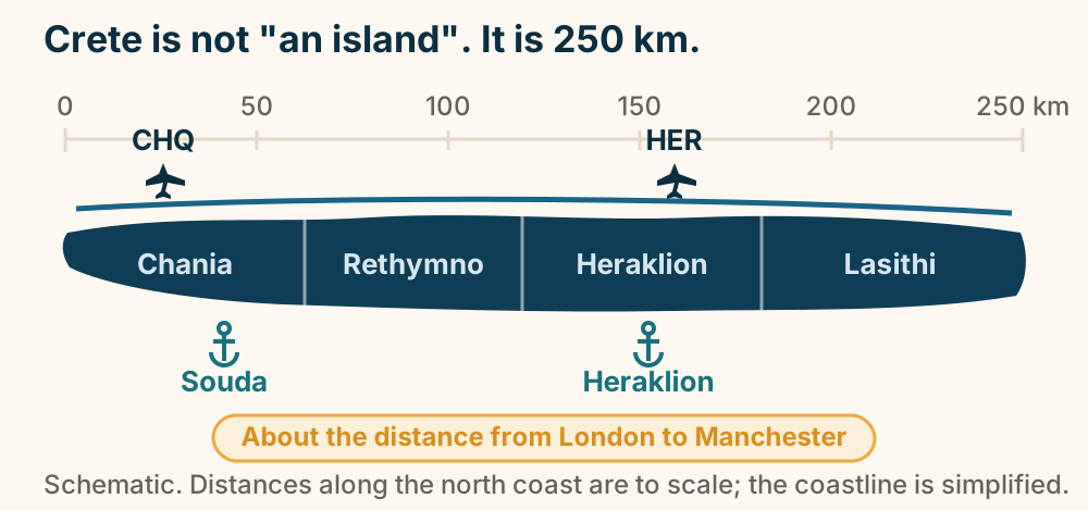
Crete runs about 250 kilometres from end to end. Crete is about 250 kilometres end to end, roughly the distance from London to Manchester. Four regional units run west to east: Chania, Rethymno, Heraklion and Lasithi. There are two airports, at Chania and Heraklion. Explained on Crete travel guide. SVG · CC BY 4.0.
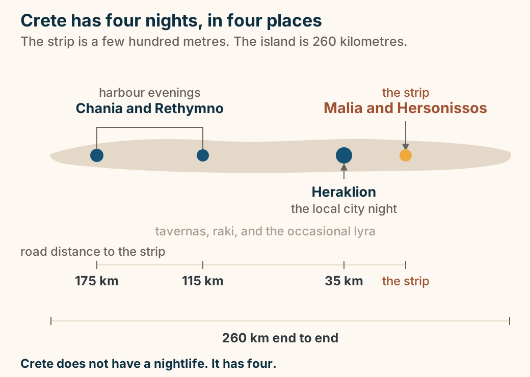
Crete’s four nights, drawn to scale on a 260 km island. Crete drawn long and thin, to scale, with a scale bar underneath marking 260 kilometres end to end. Four markers sit on it. Malia and Hersonissos, on the north coast east of Heraklion, are a small bright dot labelled the strip. Heraklion is a larger marker labelled the local city night. Chania and Rethymno, in the west, share one label: harbour evenings. The rest of the island is a flat, quiet tone under a single label: tavernas, raki, and the occasional lyra. A measured line beneath the island prints the road distance from each place to the strip: 35 kilometres from Heraklion, 115 from Rethymno, and 175 from Chania. Crete does not have a nightlife. It has four, and they are hours apart. Explained on Crete nightlife: one strip, one city, and 8,000 square kilometres. SVG · CC BY 4.0.
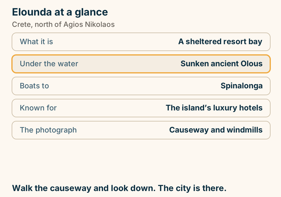
Elounda at a glance. What it is: A sheltered resort bay. Under the water: Sunken ancient Olous. Boats to: Spinalonga. Known for: The island’s luxury hotels. The photograph: Causeway and windmills. Walk the causeway and look down. The city is there. Explained on Elounda: the expensive bay, and what is under the water. SVG · CC BY 4.0.
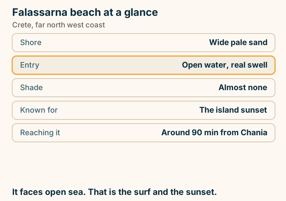
Falassarna beach at a glance. Shore: Wide pale sand. Entry: Open water, real swell. Shade: Almost none. Known for: The island sunset. Reaching it: Around 90 min from Chania. It faces open sea. That is the surf and the sunset. Explained on Falassarna: open sand on the far west coast. SVG · CC BY 4.0.
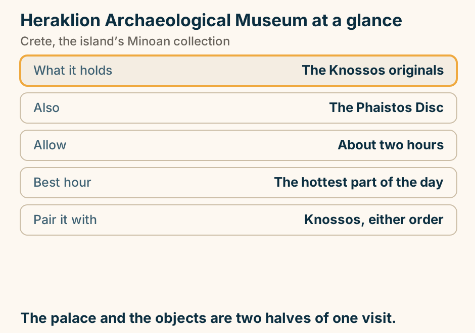
Heraklion Archaeological Museum at a glance. What it holds: The Knossos originals. Also: The Phaistos Disc. Allow: About two hours. Best hour: The hottest part of the day. Pair it with: Knossos, either order. The palace and the objects are two halves of one visit. Explained on Heraklion Archaeological Museum: where the Minoan originals are. SVG · CC BY 4.0.
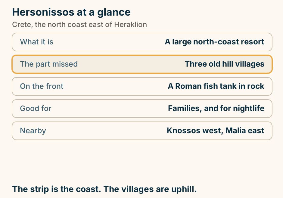
Hersonissos at a glance. What it is: A large north-coast resort. The part missed: Three old hill villages. On the front: A Roman fish tank in rock. Good for: Families, and for nightlife. Nearby: Knossos west, Malia east. The strip is the coast. The villages are uphill. Explained on Hersonissos: a resort strip with old villages ten minutes uphill. SVG · CC BY 4.0.
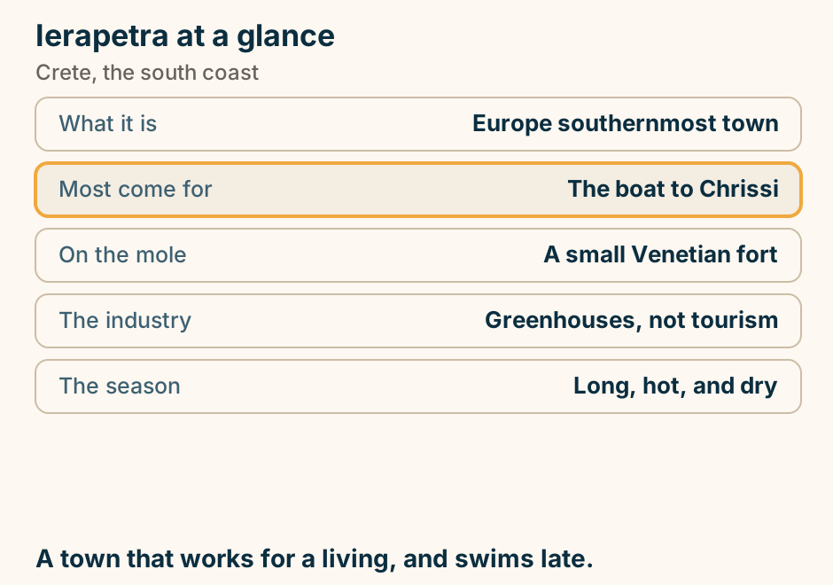
Ierapetra at a glance. What it is: Europe southernmost town. Most come for: The boat to Chrissi. On the mole: A small Venetian fort. The industry: Greenhouses, not tourism. The season: Long, hot, and dry. A town that works for a living, and swims late. Explained on Ierapetra: the southernmost town in Europe, and a working one. SVG · CC BY 4.0.
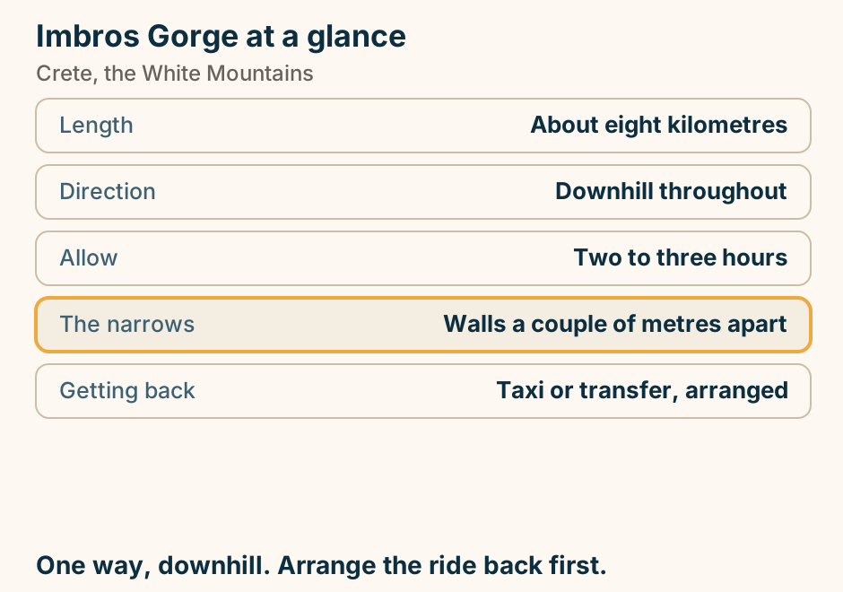
Imbros Gorge at a glance. Length: About eight kilometres. Direction: Downhill throughout. Allow: Two to three hours. The narrows: Walls a couple of metres apart. Getting back: Taxi or transfer, arranged. One way, downhill. Arrange the ride back first. Explained on Imbros Gorge: Samaria’s shorter, easier cousin. SVG · CC BY 4.0.
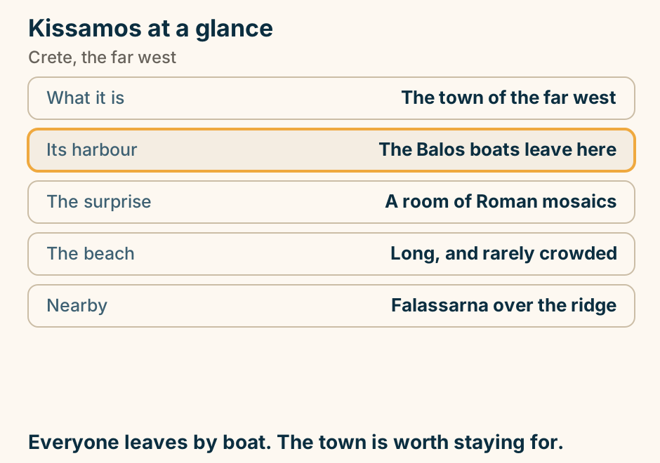
Kissamos at a glance. What it is: The town of the far west. Its harbour: The Balos boats leave here. The surprise: A room of Roman mosaics. The beach: Long, and rarely crowded. Nearby: Falassarna over the ridge. Everyone leaves by boat. The town is worth staying for. Explained on Kissamos: a quiet town that happens to own the best boat trip in Crete. SVG · CC BY 4.0.
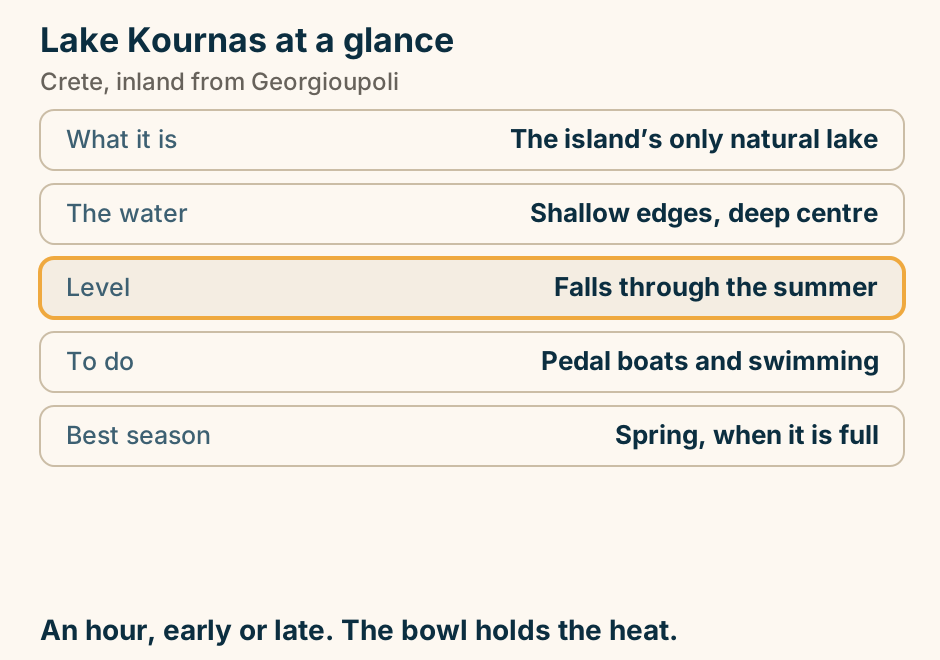
Lake Kournas at a glance. What it is: The island’s only natural lake. The water: Shallow edges, deep centre. Level: Falls through the summer. To do: Pedal boats and swimming. Best season: Spring, when it is full. An hour, early or late. The bowl holds the heat. Explained on Lake Kournas: the one natural lake on Crete. SVG · CC BY 4.0.
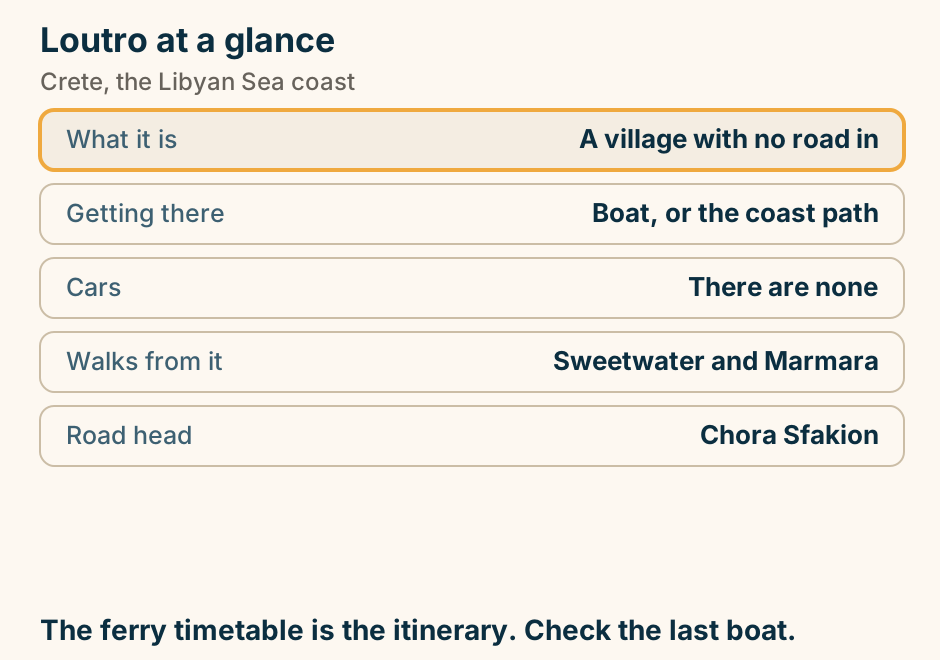
Loutro at a glance. What it is: A village with no road in. Getting there: Boat, or the coast path. Cars: There are none. Walks from it: Sweetwater and Marmara. Road head: Chora Sfakion. The ferry timetable is the itinerary. Check the last boat. Explained on Loutro: a village you cannot drive to. SVG · CC BY 4.0.
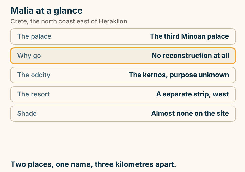
Malia at a glance. The palace: The third Minoan palace. Why go: No reconstruction at all. The oddity: The kernos, purpose unknown. The resort: A separate strip, west. Shade: Almost none on the site. Two places, one name, three kilometres apart. Explained on Malia: a Minoan palace and a party strip, three kilometres apart. SVG · CC BY 4.0.
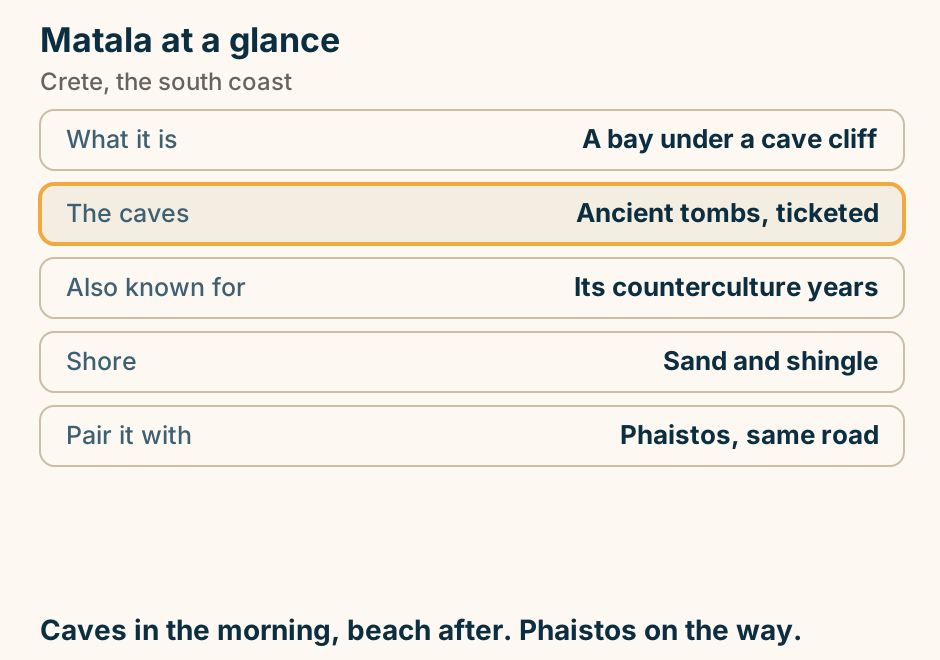
Matala at a glance. What it is: A bay under a cave cliff. The caves: Ancient tombs, ticketed. Also known for: Its counterculture years. Shore: Sand and shingle. Pair it with: Phaistos, same road. Caves in the morning, beach after. Phaistos on the way. Explained on Matala: a cliff full of caves, and the decade that made it famous. SVG · CC BY 4.0.
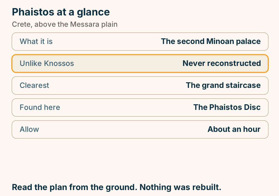
Phaistos at a glance. What it is: The second Minoan palace. Unlike Knossos: Never reconstructed. Clearest: The grand staircase. Found here: The Phaistos Disc. Allow: About an hour. Read the plan from the ground. Nothing was rebuilt. Explained on Phaistos: the Minoan palace nobody rebuilt. SVG · CC BY 4.0.
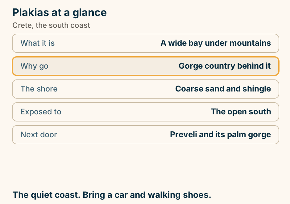
Plakias at a glance. What it is: A wide bay under mountains. Why go: Gorge country behind it. The shore: Coarse sand and shingle. Exposed to: The open south. Next door: Preveli and its palm gorge. The quiet coast. Bring a car and walking shoes. Explained on Plakias: a wide bay under the mountains, on the quiet coast. SVG · CC BY 4.0.
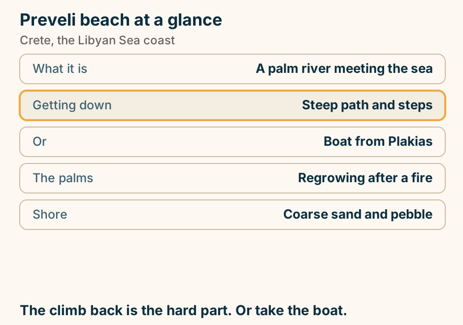
Preveli beach at a glance. What it is: A palm river meeting the sea. Getting down: Steep path and steps. Or: Boat from Plakias. The palms: Regrowing after a fire. Shore: Coarse sand and pebble. The climb back is the hard part. Or take the boat. Explained on Preveli: where a palm river runs into the sea. SVG · CC BY 4.0.
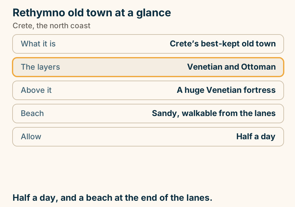
Rethymno old town at a glance. What it is: Crete’s best-kept old town. The layers: Venetian and Ottoman. Above it: A huge Venetian fortress. Beach: Sandy, walkable from the lanes. Allow: Half a day. Half a day, and a beach at the end of the lanes. Explained on Rethymno old town: the one that kept its minarets. SVG · CC BY 4.0.
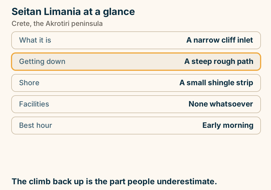
Seitan Limania at a glance. What it is: A narrow cliff inlet. Getting down: A steep rough path. Shore: A small shingle strip. Facilities: None whatsoever. Best hour: Early morning. The climb back up is the part people underestimate. Explained on Seitan Limania: a cleft in the cliff, and the walk down to it. SVG · CC BY 4.0.
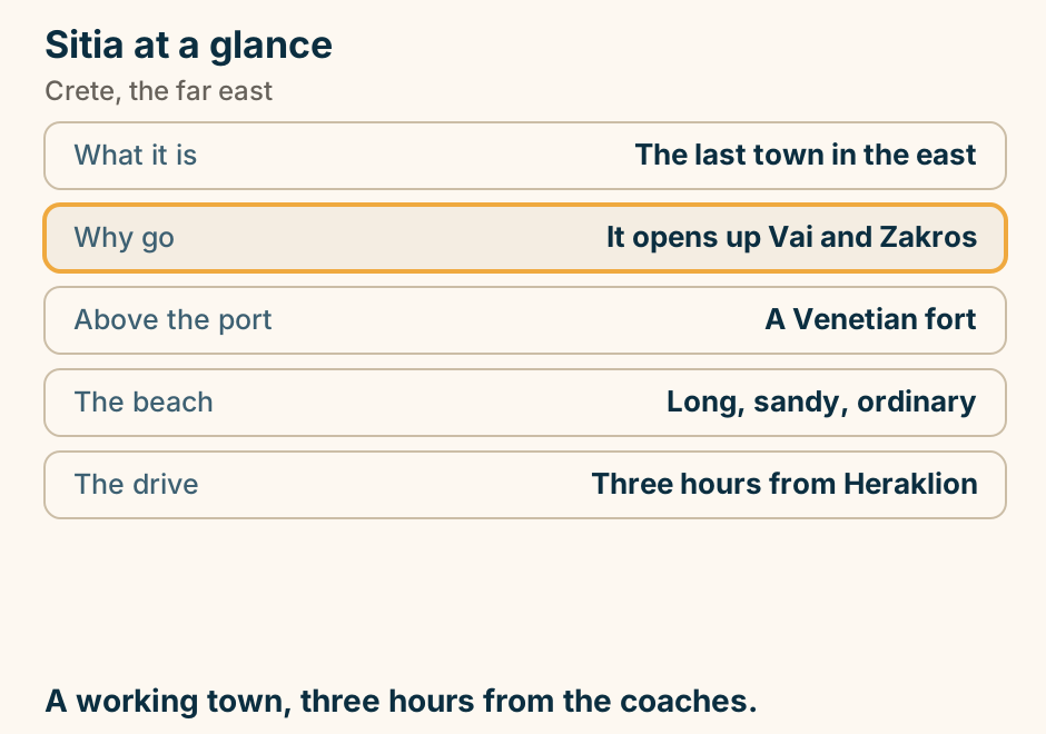
Sitia at a glance. What it is: The last town in the east. Why go: It opens up Vai and Zakros. Above the port: A Venetian fort. The beach: Long, sandy, ordinary. The drive: Three hours from Heraklion. A working town, three hours from the coaches. Explained on Sitia: the far east of Crete, where the coaches stop coming. SVG · CC BY 4.0.
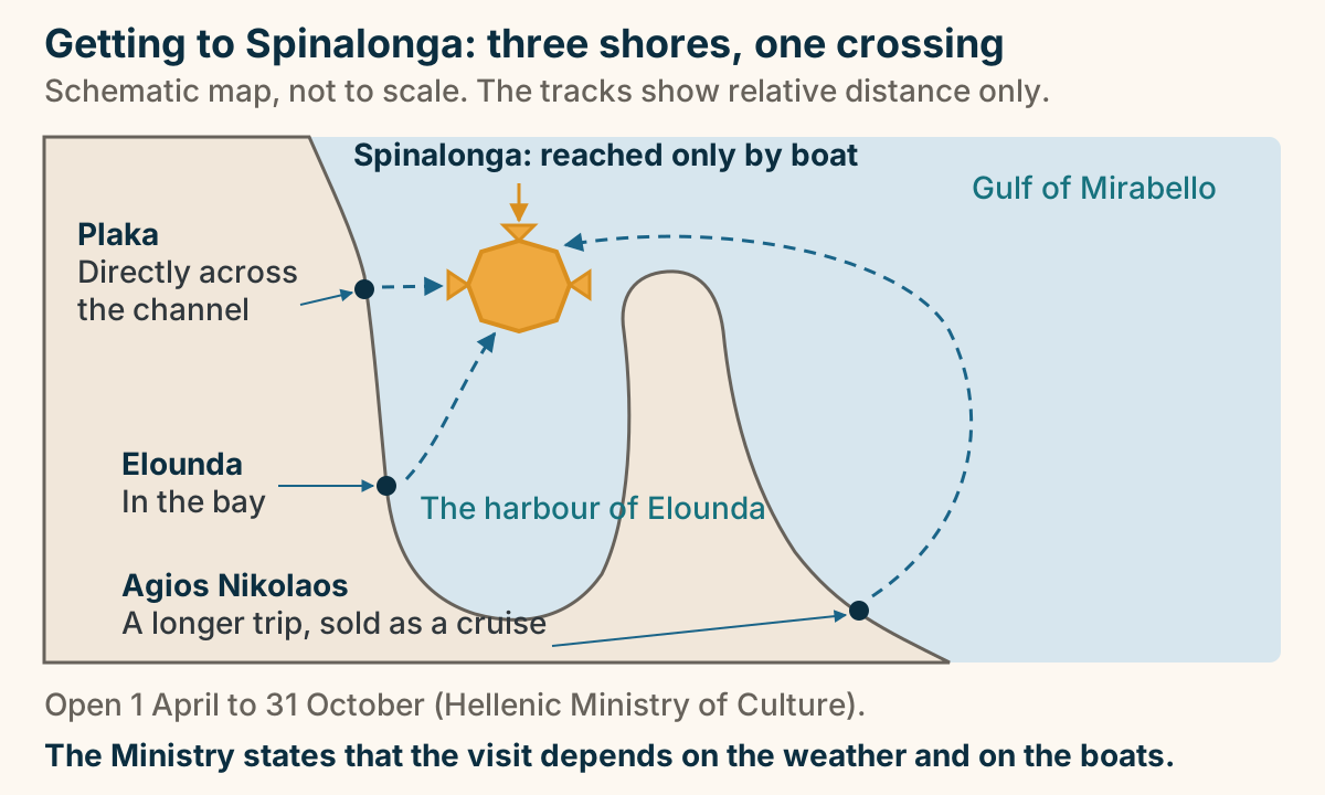
Spinalonga is reached only by boat, from three shores. A schematic map of the Gulf of Mirabello, not to scale. Spinalonga is a fortified islet at the mouth of the natural harbour of Elounda, reached only by boat. Shuttle boats run from Plaka, directly across the channel and the shortest crossing; from Elounda, in the bay to the south; and from Agios Nikolaos, further round the gulf, a longer trip sold as a cruise. The tracks show relative distance only. The site is open from 1 April to 31 October, and the Hellenic Ministry of Culture states that the visit depends on the weather and on the boats. Explained on Spinalonga: how you get there, and what you are walking through. SVG · CC BY 4.0.
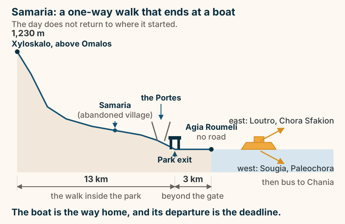
The Samaria Gorge is a one-way walk that ends at a boat. An elevation profile of the Samaria day, read from left to right. The line starts high at Xyloskalo, above Omalos, at 1,230 metres. It falls steeply, then settles onto a long shallow gradient, passing Samaria, the abandoned village, and then the Portes, where the walls close in above the path. It reaches sea level at the park exit, and that is 13 kilometres of walking. The walk does not stop there: a flat stretch of a further 3 kilometres ends at Agia Roumeli, a village with no road. At the water the walking ends and the boat begins. From Agia Roumeli the boat runs east to Loutro and Chora Sfakion, or west to Sougia and Paleochora, and a bus takes you from either back to Chania. The boat is the way home, and its departure is the deadline the day is built around. Explained on Samaria Gorge: a one-way walk that ends at a boat. SVG · CC BY 4.0.
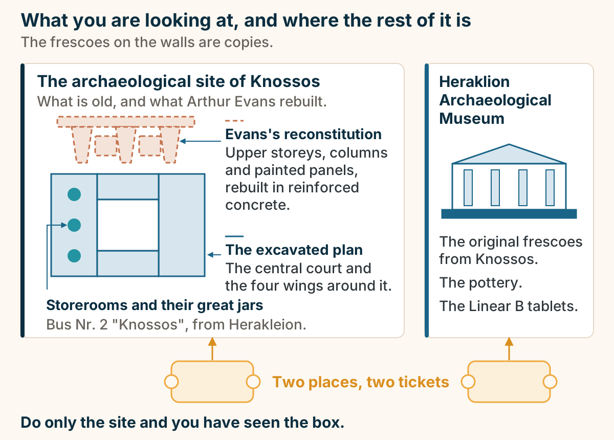
Two tickets, two halves: the site you walk and the museum that holds what came out of it. On the left, the archaeological site of Knossos, drawn as a schematic plan. Solid lines are the excavated building: the central court, the four wings around it, and the storerooms with their great jars. Dashed lines above the plan are Arthur Evans’s reconstitution, rebuilt in reinforced concrete: the upper storeys, the tapering columns and the painted panels. Under the site, its access line: Bus Nr. 2 “Knossos”, from Herakleion. On the right, the Heraklion Archaeological Museum, which holds the original frescoes from Knossos, the pottery and the Linear B tablets. Under each panel sits its own ticket, and the label between them reads: Two places, two tickets. Each is ticketed separately. Do only the site and you have seen the box. Explained on Knossos Palace: what is really there, and what is in Heraklion. SVG · CC BY 4.0.
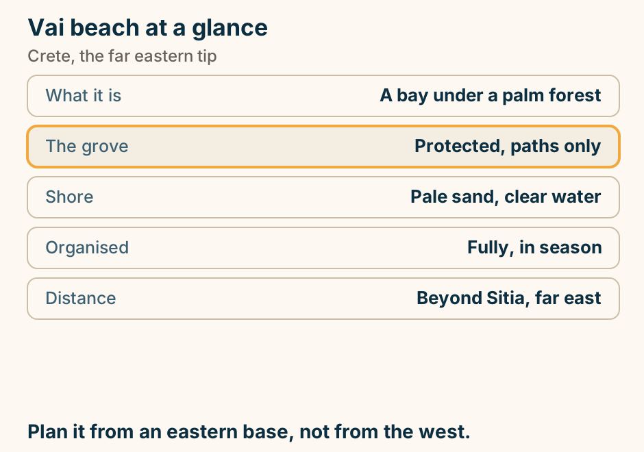
Vai beach at a glance. What it is: A bay under a palm forest. The grove: Protected, paths only. Shore: Pale sand, clear water. Organised: Fully, in season. Distance: Beyond Sitia, far east. Plan it from an eastern base, not from the west. Explained on Vai: a palm forest at the end of Crete. SVG · CC BY 4.0.
Delos
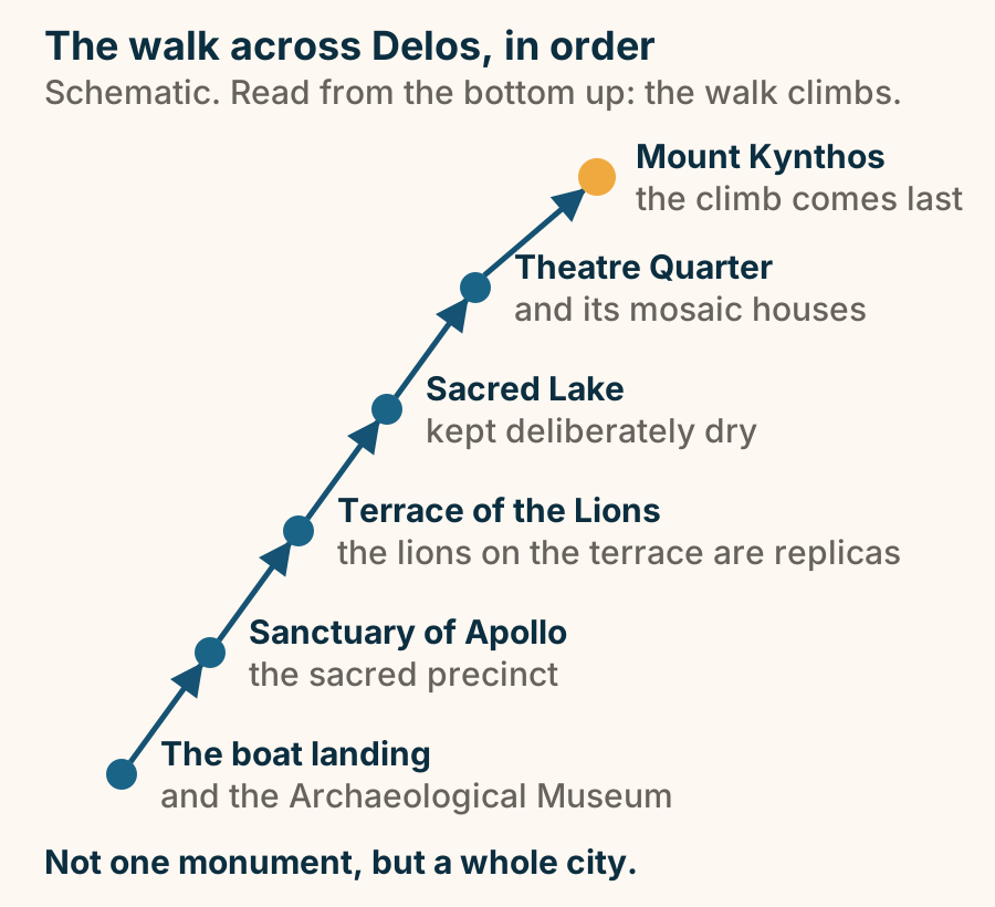
Delos is walked in one order, from the boat landing up to Mount Kynthos. A schematic of the self-guided walk across the Delos archaeological site, drawn as a rising staircase read from the bottom up. You start at the boat landing, where the Archaeological Museum also stands. From there the walk goes to the Sanctuary of Apollo, the sacred precinct; then the Terrace of the Lions, where the lions on the terrace are replicas; then the Sacred Lake, kept deliberately dry; then the Theatre Quarter and its mosaic houses; and finally the climb to the summit of Mount Kynthos, which is marked as the payoff at the top. Delos is not one monument but a whole city. Explained on Delos: an uninhabited sacred island, a day trip from Mykonos. SVG · CC BY 4.0.
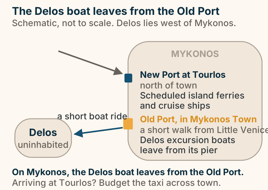
The Delos excursion boat leaves Mykonos’s Old Port in town, not the New Port at Tourlos. A schematic of the two ports on Mykonos, with Delos to the west. The New Port at Tourlos lies north of town: it is where scheduled island ferries and cruise ships arrive, and an arrow shows them coming in from the sea. The Old Port sits in Mykonos Town, a short walk from Little Venice, and the Delos excursion boats leave from its pier. A single arrow runs west from the Old Port on a short boat ride to Delos, which is uninhabited. If you arrive at Tourlos, budget the taxi across town. Explained on Delos: an uninhabited sacred island, a day trip from Mykonos. SVG · CC BY 4.0.
Folegandros
Folegandros has one port, and the capital sits on the cliff above it. A plan map of Folegandros, schematic and not to scale, with north at the top. The island is long and narrow and runs from north-west to south-east. Karavostasi, the one port, sits on the south-east coast, and a ferry arrow labelled from Santorini or Piraeus comes in from the east and lands there. Chora, the capital, sits on the cliff just above the port and is the highlighted point on the map. Ano Meria is a spread-out farming settlement strung along the road to the north-west. Coves are marked on the south and west coasts: Agali, Katergo and Ampeli. A single continuous line threads the waymarked footpaths that link Ano Meria, the coves and Chora. No crossing time, distance, area or height appears in the drawing. Explained on Folegandros: the cliff-top Cyclades island that kept its quiet. SVG · CC BY 4.0.
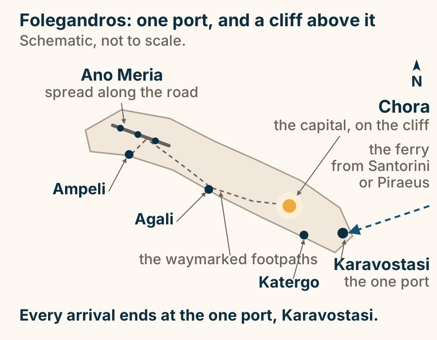
Folegandros stacks upward: the port, the sea cliff, Chora on the edge, then Panagia. A section of Folegandros from sea level up. At the bottom is the sea, with the small port of Karavostasi on the shore where every boat lands. Above it a sheer sea cliff rises. On the lip of that cliff stands whitewashed Chora. Behind the town the hill keeps climbing, and a zig-zag stepped path switchbacks up from the top of the village to the church of Panagia on the summit. The port is at the bottom, and the rest of the island is a climb. Explained on Folegandros: the cliff-top Cyclades island that kept its quiet. SVG · CC BY 4.0.
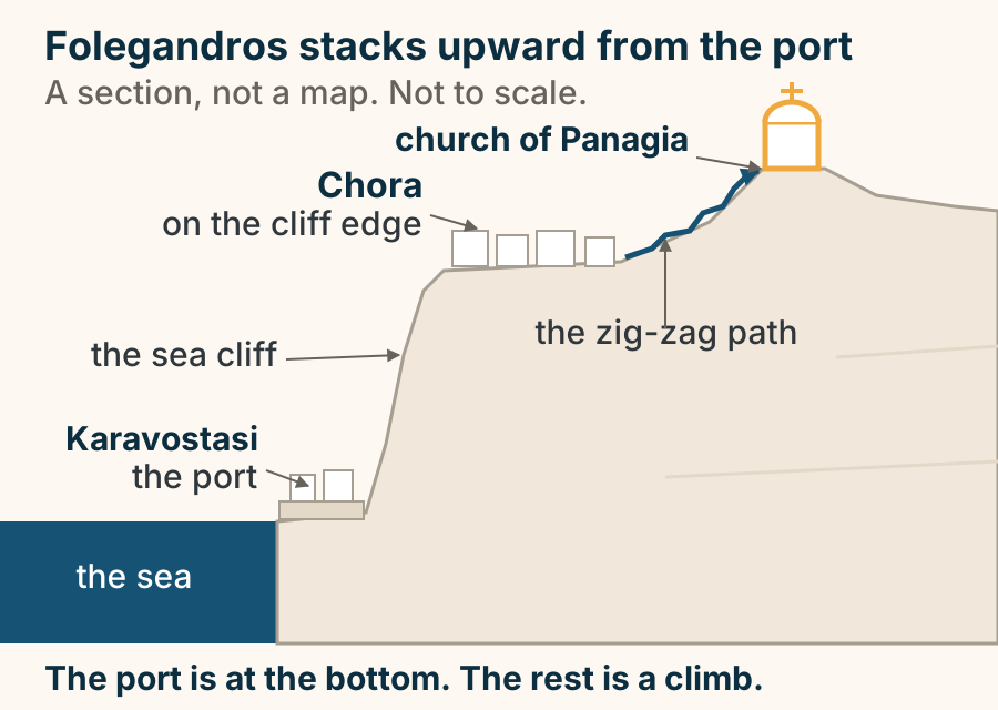
Hydra
Hydra is car-free: every arrival is a boat, and every journey after it is on foot, by mule or by water taxi. A schematic access map of Hydra in the Saronic Gulf, not to scale. Private cars, motorbikes, scooters and bicycles are all banned on the island, so it has no road arrivals and no airport. Every route drawn is a boat track ending on the one harbour at Hydra Town, which is the highlighted point. The main crossing runs from Piraeus, the port of Athens, at the top of the frame. Poros, a neighbouring Saronic island, sits between them with its own track. From the Peloponnese, the ports of Ermioni, Metochi and Porto Heli each send a track across the gulf, and Spetses, the other neighbouring island, sends one from the south. Below the map, three pills show the only ways to move once you land: on foot, by mule, and by water taxi. Explained on Hydra travel guide. SVG · CC BY 4.0.
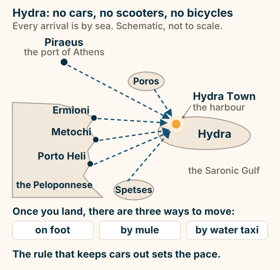
Hydra Town at a glance. What it is: Almost all life on the island. The shape: Stacked like seats in a theatre. The ban: No wheeled transport at all. Luggage moves: By mule, or by boat. From Piraeus: Fast boats only. A horseshoe of stone houses, and nothing on wheels. Explained on Hydra Town: a harbour with no wheels on it. SVG · CC BY 4.0.
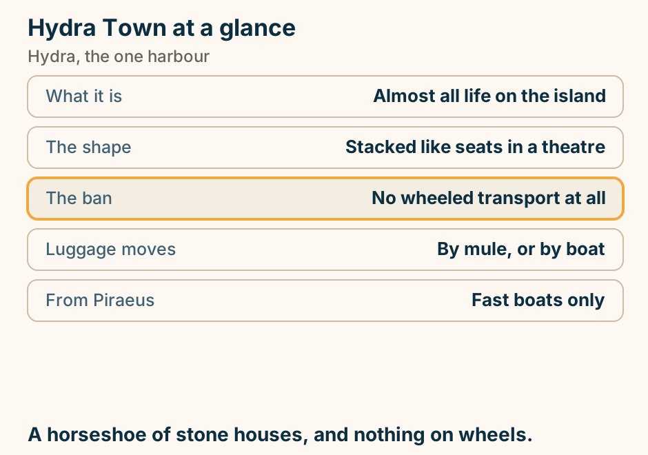
Vlychos at a glance. What it is: A pebble cove. Getting there: The coastal path west. Or: A water taxi. On the way: Kamini. The one sandy beach: Mandraki, the other way. Walk out along the coast, and ride the boat back. Explained on Vlychos: the coastal path west, and a pebble cove. SVG · CC BY 4.0.
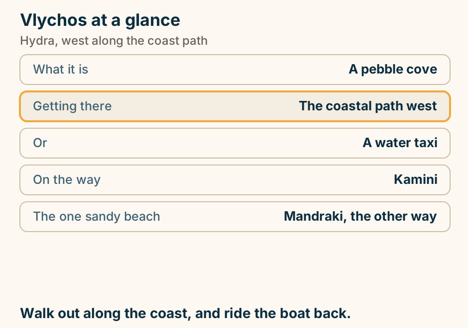
Ikaria
Ikaria’s two ferry ports sit on opposite sides of the mountain, so book the one nearest your bed. A schematic of Ikaria as a long, narrow island running west to east, split lengthways by the mountain. Evdilos is the north port. The north-coast beaches, Armenistis, Nas and Messakti, sit west of it on the same coast, and Evdilos is the port to book if you are sleeping there. On the south coast lie Agios Kirikos, the capital and the south port, and a small airport beside it. Book the port that matches where you will sleep. Explained on Ikaria: Greece’s slow Blue Zone island. SVG · CC BY 4.0.
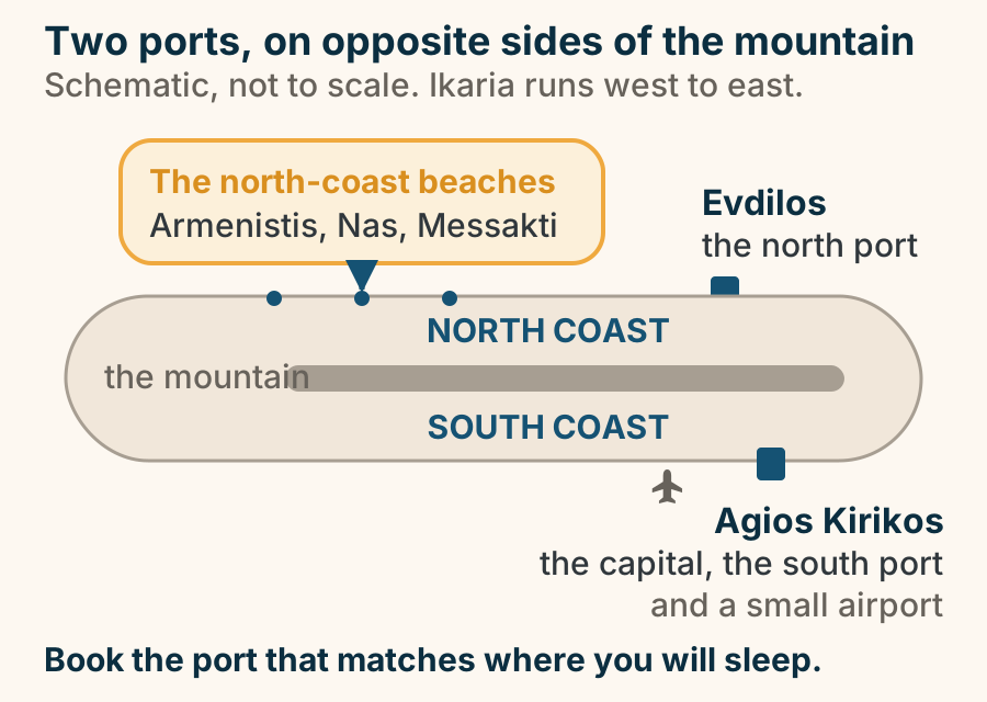
On Ikaria the festival weeks and the busiest weeks are the same weeks. A band of the year across twelve months, with three windows drawn over it. Spring, from April into early June, is the walking window: hiking and wild greens. Mid-July into early September is the panigiria peak: a warm sea, and also the crowds and the wind. The two ends of the year, November and December and then January and February, are winter, and very quiet. Two single months are picked out, June and September: they are the sweet spot, with a warm sea and room on the beach. Explained on Ikaria: Greece’s slow Blue Zone island. SVG · CC BY 4.0.
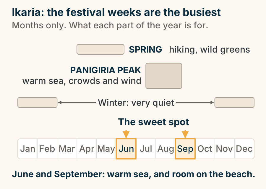
Ios
Ios has one port, one hill town and one main beach, and everything quiet is a short drive past them. A simplified plan of the whole island of Ios, north at the top. The single ferry port at Gialos, also called Ormos, sits in a sheltered notch on the west coast and is marked as the only way in. Chora, the hill town, stands inland just above the port, and Mylopotas, the long sandy beach, lies on the coast on the far side of Chora’s hill. One short road links those three points. The rest of the island is quieter and needs wheels: the sheltered bays at Manganari across the south, and the north point at Plakotos, which has been called Homer’s tomb by tradition. A single arrow enters from the west, from the direction of Piraeus, Paros, Naxos and Santorini, because every arrival is by sea. Explained on Ios Greece: one hill, two different islands. SVG · CC BY 4.0.
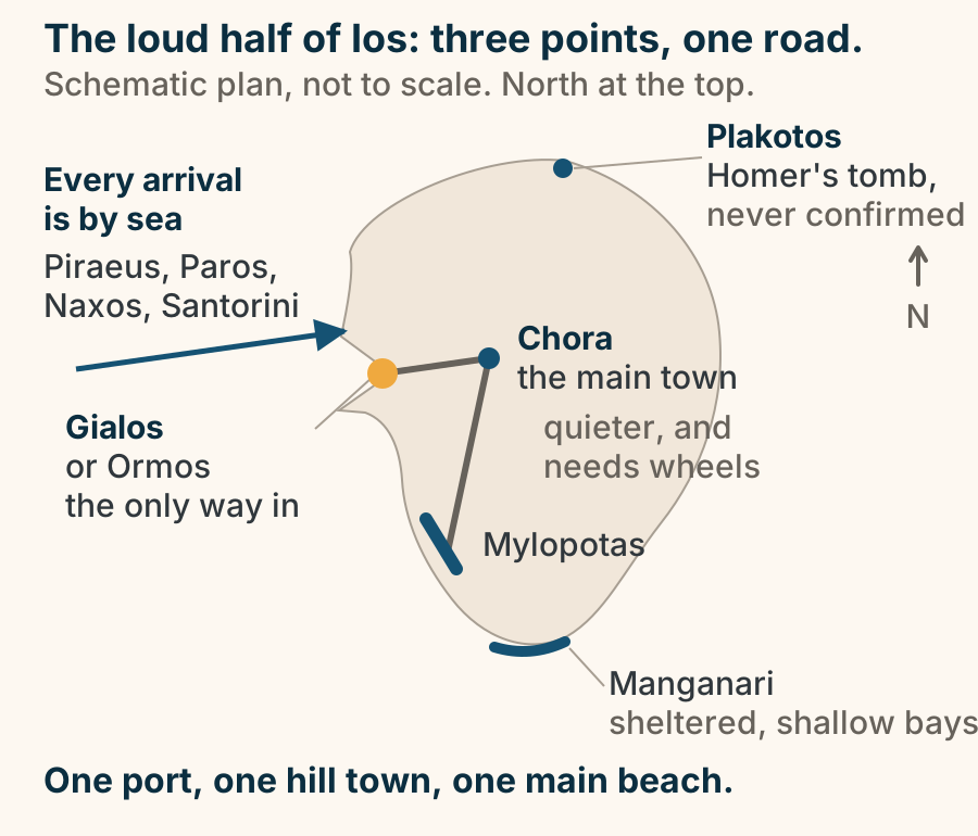
The whole of Ios nightlife, on one hill. A cross-section of Ios, sea to sea. The port sits at the bottom left, on the shore. Above it, on the hill, Chora is drawn as a dense cluster of bar markers inside a single boundary a few hundred metres across, which you can cross on foot in about ten minutes. Down to the right, Mylopotas beach carries a row of beach bars that run from the middle of the day. One short road links all three, and the KTEL Ios bus runs on it through the night, which is why nobody on this island needs a taxi. The rest of the island is flat and quiet: beaches, chapels, silence. Explained on Ios nightlife: the whole island’s night fits in one village. SVG · CC BY 4.0.
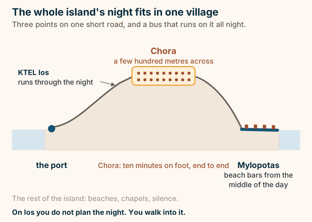
Ithaca
Every way into Ithaca is a boat, and almost all of them run through Kefalonia. A hub and spoke diagram of ferry access to Ithaca, which has no airport. Four departure points sit on the left. Lefkada, in season, runs to Frikes in the north. Sami on Kefalonia, marked as the usual gateway, runs the short main crossing to Pisaetos. Astakos on the mainland runs to Pisaetos, and to Frikes in summer. Patras on the mainland runs the long way round to Pisaetos. On the right, Ithaca holds its three small ports: Frikes in the north, Pisaetos in the middle on the short main crossing, and Vathy in the south. You change boats at Kefalonia. Explained on Ithaca Greece: Odysseus’s quiet Ionian island. SVG · CC BY 4.0.
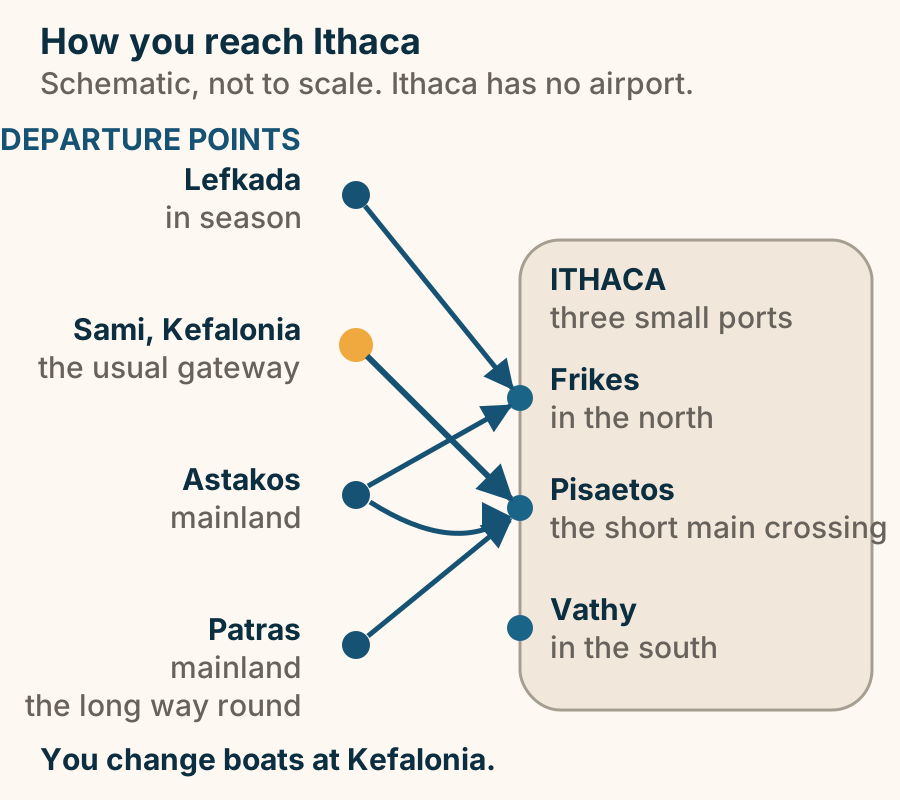
Gidaki at a glance. What it is: The most admired beach here. Getting there: On foot over the headland. In summer: A little shuttle boat. Why it stays empty: You cannot drive to it. Expect: Pebble, clear, deep water. No road means no crowd. That is the whole trade. Explained on Gidaki: reached on foot, or by the summer boat. SVG · CC BY 4.0.
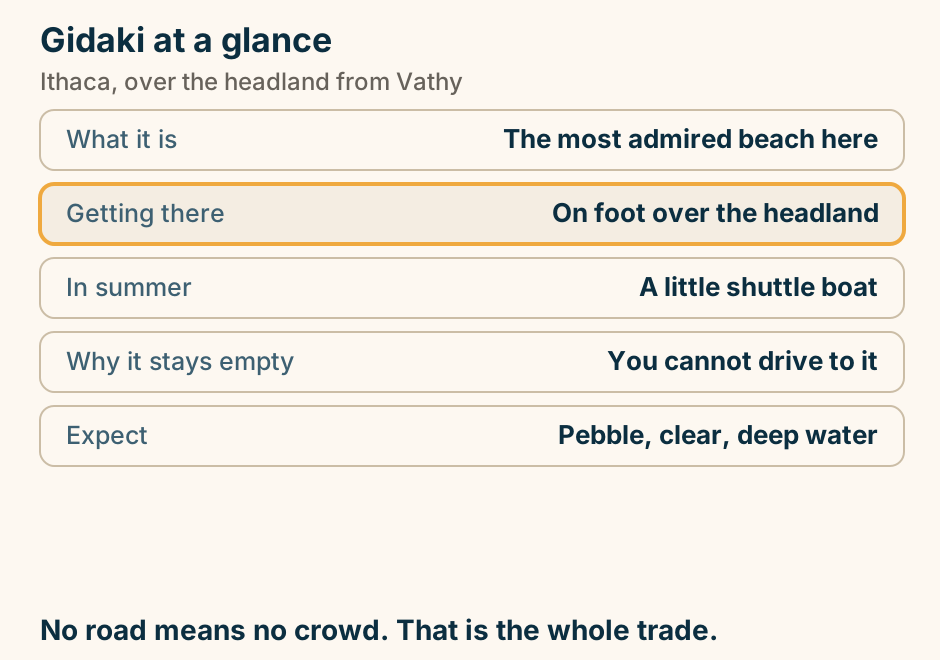
Ithaca is two hills joined at the Aetos isthmus, with the only town in the south and the walking villages in the north. A schematic of Ithaca with north at the top. The island is two hilly lobes, a larger one in the north and a smaller one in the south, joined at the narrow waist of the Aetos isthmus. Mount Neritos rises in the northern lobe, and the walking villages, Stavros, Frikes and Kioni, sit on its eastern side. Vathy, the only town, is in the southern lobe. One town in the south, the villages in the north. Explained on Ithaca Greece: Odysseus’s quiet Ionian island. SVG · CC BY 4.0.
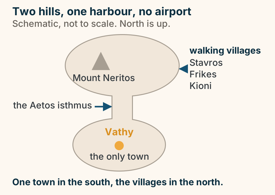
Vathy at a glance. What it is: The capital and only town. Set on: A deep natural harbour. Here: Ferries, shops, boat tickets. Base here for: The shortest walk to a boat. Getting to Ithaca: Via Kefalonia, by ferry. Where you sleep sets the tone of the whole trip. Explained on Vathy: the only town, and where the boats are. SVG · CC BY 4.0.
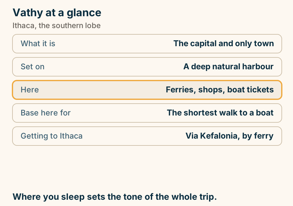
Karpathos
Apella at a glance. What it is: A deep cove under mountains. Why the east: It is the sheltered side. Access: A steep approach, or a boat. Carry: Your own water and shade. Neighbours: Kyra Panagia, Achata. Read a beach by exposure and access, not by a top ten. Explained on Apella: the bay people cross the island for. SVG · CC BY 4.0.
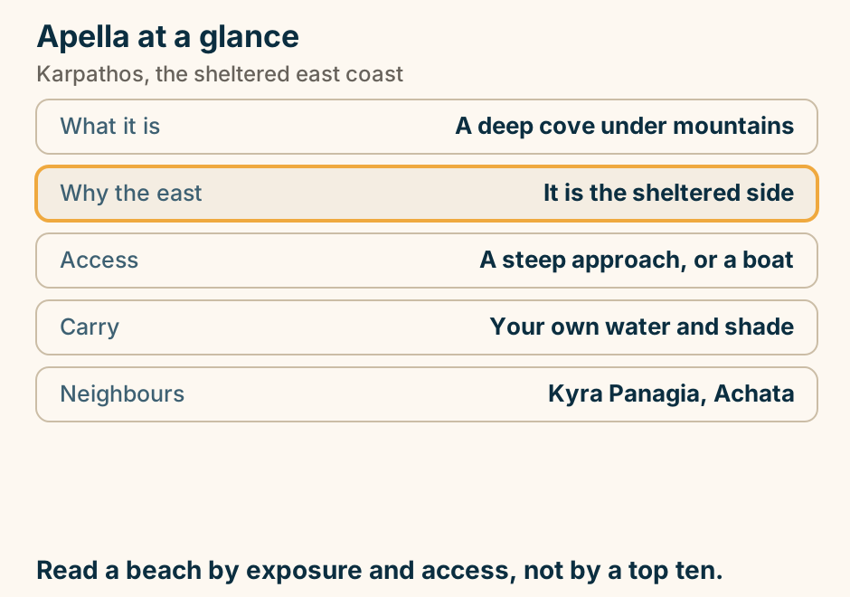
Karpathos has no single best month, so sort the season by purpose. A band of the year across twelve months, with three windows drawn under it. Spring, April and May, is the window for walking. July and August are the peak-wind window, the season for windsurfing and kitesurfing, and it is highlighted. June and September sit either side of that peak as the shoulder, the all-rounder. The three windows do not overlap, so the month you choose follows from what you came to do. Explained on Karpathos: the Dodecanese island that stayed remote. SVG · CC BY 4.0.
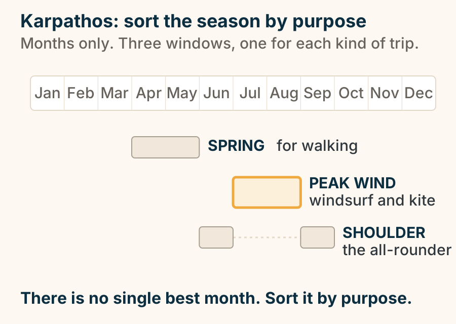
Karpathos sits alone between Rhodes and Crete, and every way in is a long one. A schematic map, not to scale, with north at the top. Karpathos is drawn on its true long north to south axis, out in open water between Rhodes to the northeast and Crete to the west. Three routes reach it, and each carries an arrowhead. A flight from Athens runs to the airport in the south. A long ferry from Piraeus sweeps north of the island and down its east side to Pigadia. A shorter ferry hop from Rhodes swings round to Pigadia as well. In the isolated north sit the small port of Diafani and, high on the ridge above it, the village of Olympos, both labelled on the west side. In the south sit Pigadia, the capital and main port, the airport, and Afiartis with its windsurf bays, all labelled on the east side. The airport is the highlighted point on the map. No journey length appears in the drawing. Explained on Karpathos: the Dodecanese island that stayed remote. SVG · CC BY 4.0.
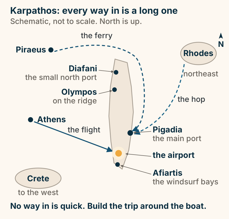
Olympos at a glance. What it is: A mountain village. Known for: Dress worn as living custom. The kanakara: The heir daughter, precisely. Getting there: Steep hairpins, or a boat. Best hour: Early morning. Go early, before the tour boats. Explained on Olympos: the village, and what the kanakara actually was. SVG · CC BY 4.0.
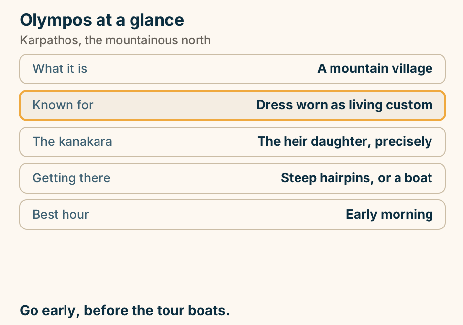
Kea
Kea is reached by ferry from Lavrio, not from Piraeus and not by air. A schematic map of southeast Attica and the island of Kea (Tzia) offshore to the east. On the mainland: Athens, with Piraeus, Athens Airport and Rafina marked in grey, and Lavrio on the southeast coast marked in full. A single ferry route runs east from Lavrio across the sea to Korissia, also called Livadi, the port on Kea’s northwest coast. Ioulida, the capital, sits inland from the port. Kea has no airport, so the ferry from Lavrio is the way on, and Piraeus and Rafina, the usual Cycladic gateways, are not the ports for it. Explained on Kea travel guide. SVG · CC BY 4.0.
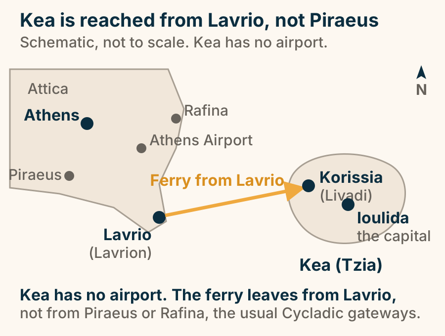
Kefalonia
Antisamos oriented: the port of Sami on one side of a wooded neck of land, the pebble bank of Antisamos on the other, one road over the ridge, and Ithaca across the strait. A schematic orientation plan of the Sami headland on Kefalonia seen from above, north up and not to scale. The port of Sami sits on one side of a wooded neck of land; the pebble bank of Antisamos, with a car park behind it, lies on the other side. A single road climbs from the port over the ridge and down to that car park. Across the Strait of Ithaca to the east is the separate landmass of Ithaca. Explained on Antisamos beach, Kefalonia: a white pebble bank east of Sami. SVG · CC BY 4.0.
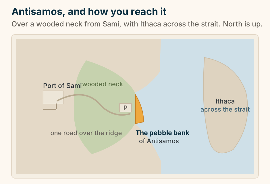
Argostoli at a glance. What it is: The capital and bus hub. Why it looks new: Rebuilt after the quake. At the quay: Loggerheads by the boats. The walk: The De Bosset causeway. Best hours: The evening square. A modern town because the earthquake left nothing else. Explained on Argostoli: the capital the 1953 earthquake rebuilt. SVG · CC BY 4.0.
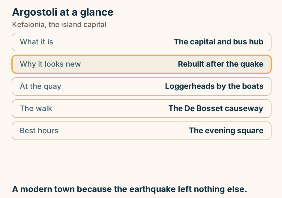
Assos at a glance. What it is: A village on an isthmus. Above it: A Venetian fortress. The walk up: About an hour return. The colours: Post-earthquake rebuild. Reaching it: A steep hairpin descent. An hour or two, and pair it with Myrtos. Explained on Assos: a painted village on a neck of land. SVG · CC BY 4.0.
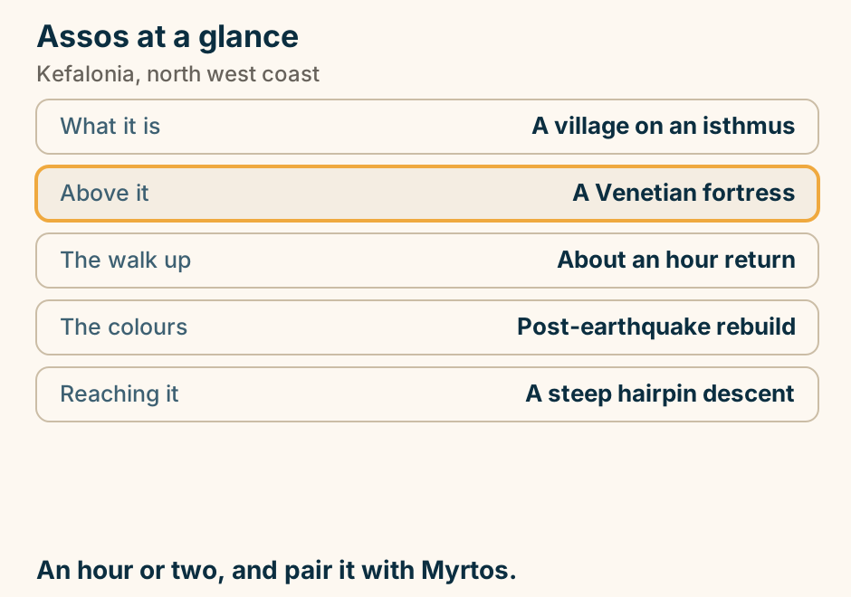
Drogarati cave at a glance. What it is: A deep stalactite cave. Getting in: A long staircase down. Known for: The chamber acoustics. Allow: 20 to 30 minutes. Pair it with: Melissani, minutes away. The better cave if you actually like caves. Explained on Drogarati: stalactites, steps, and a chamber that sings. SVG · CC BY 4.0.
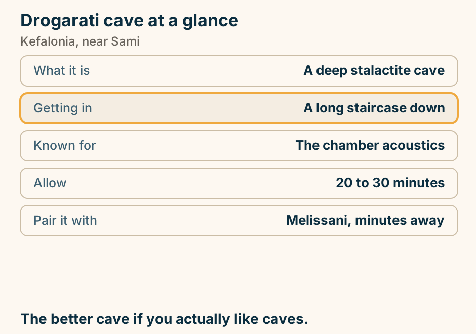
Fiskardo at a glance. What it is: A yachting harbour village. Why it survived: The quake spared the north. The look: Pastel Venetian era houses. Swimming: Small coves either side. From Argostoli: About 90 minutes. Lovely, and the priciest lunch on the island. Explained on Fiskardo: the village that survived 1953. SVG · CC BY 4.0.
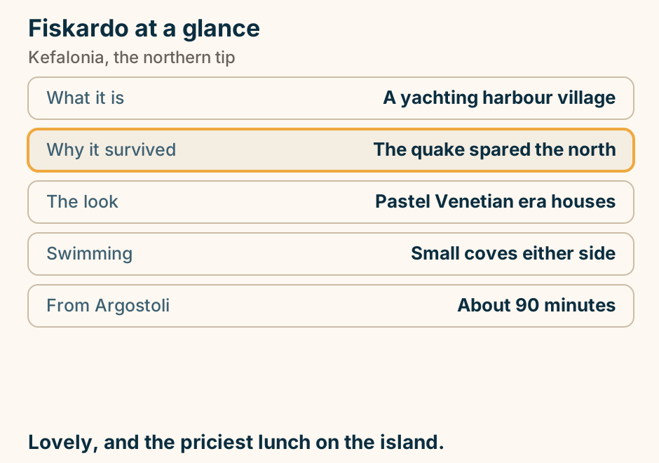
Melissani cave at a glance. What it is: A lake in a roofless cave. Best hour: Middle of the day. The visit: A rowing boat, 10 to 15 min. Pair it with: Drogarati cave nearby. Reaching it: Car, signposted from Sami. The colour needs a high sun. Time the visit or skip it. Explained on Melissani: the cave with no roof, and why the hour matters. SVG · CC BY 4.0.
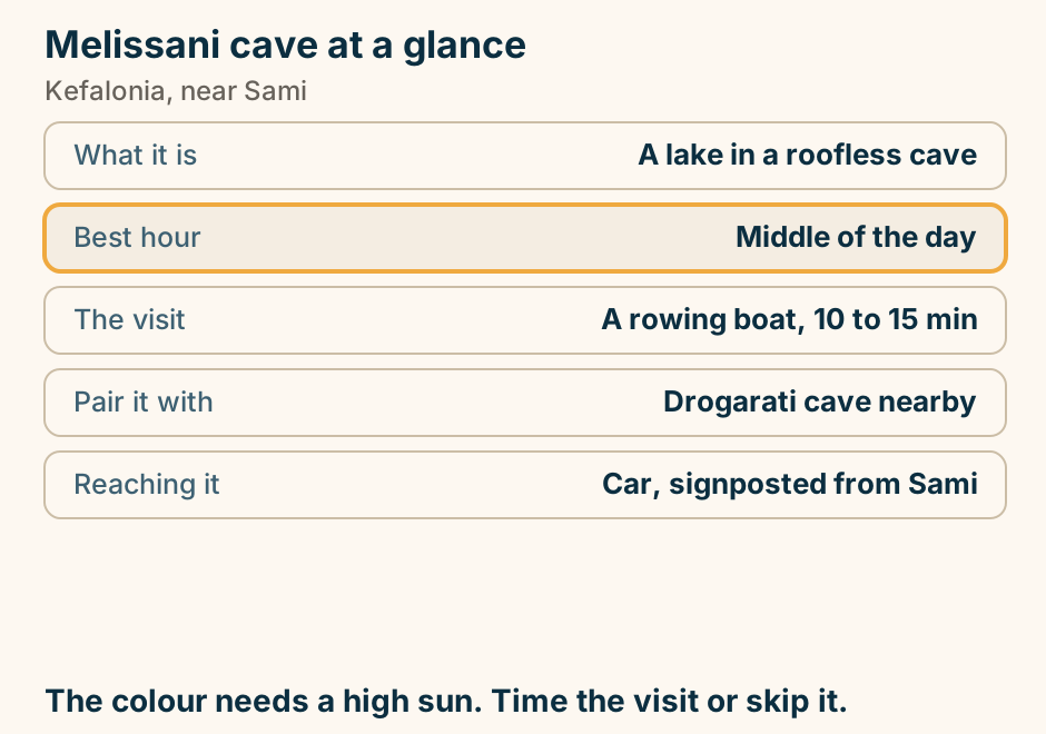
Mount Ainos at a glance. What it is: The island’s highest mountain. The forest: Greek fir, protected. On the slopes: Semi-wild horses. Getting up: Road most of the way. Facilities: None on the mountain. Ten degrees cooler than the coast, and empty. Explained on Mount Ainos: a national park with its own species of fir. SVG · CC BY 4.0.
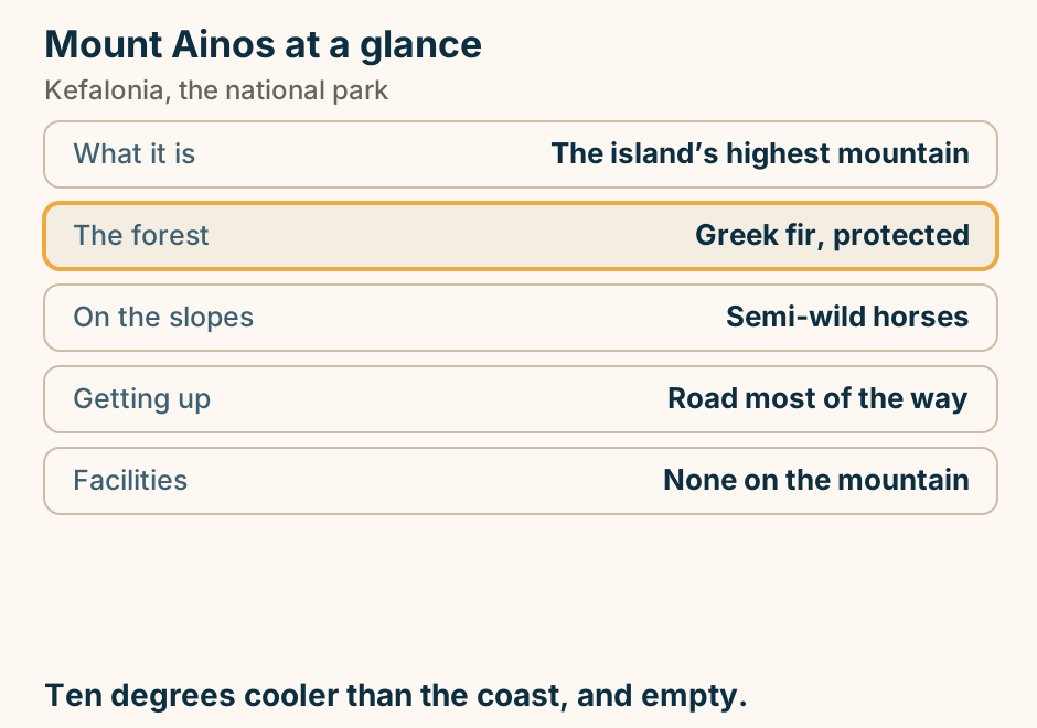
Myrtos in section: a cliff and hairpin road above, a bank of white marble cobbles at the foot, a shore that falls away sharply, and the fine marble hanging in the water as turquoise. A schematic cross-section through the cove at Myrtos on Kefalonia, not to scale. On the left a cliff rises to the road and a viewpoint at the top, with the road descending the face in hairpins. At the foot is the beach, a bank of white marble cobbles drawn coarser at the back and finer at the water. Just off the shore the seabed falls away sharply. A pale plume of the finest ground marble curves away along the bay, which is what gives the water its turquoise colour. Explained on Myrtos Beach Kefalonia: the view, and the way down. SVG · CC BY 4.0.
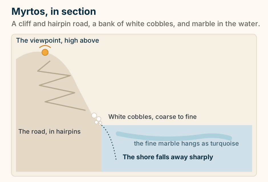
Petani on the far side of Kefalonia: the Paliki peninsula west, the rest of the island east, a long gulf between them, and Petani facing open sea. A schematic plan of Kefalonia seen from above, north up and not to scale, showing why Petani is on the far side of the island. Kefalonia is drawn as two lobes: the Paliki peninsula to the west and the rest of the island to the east, separated by a long narrow gulf that is open to the sea in the south. Lixouri and Argostoli face each other across the gulf, joined by a short ferry line, while a longer road curves the long way round the northern head of the gulf. Petani is marked on the outer west coast of Paliki, with an arrow into open water. Myrtos and Antisamos are shown faintly on the eastern lobe for reference. Explained on Petani beach Kefalonia: a pale pebble bay on Paliki. SVG · CC BY 4.0.
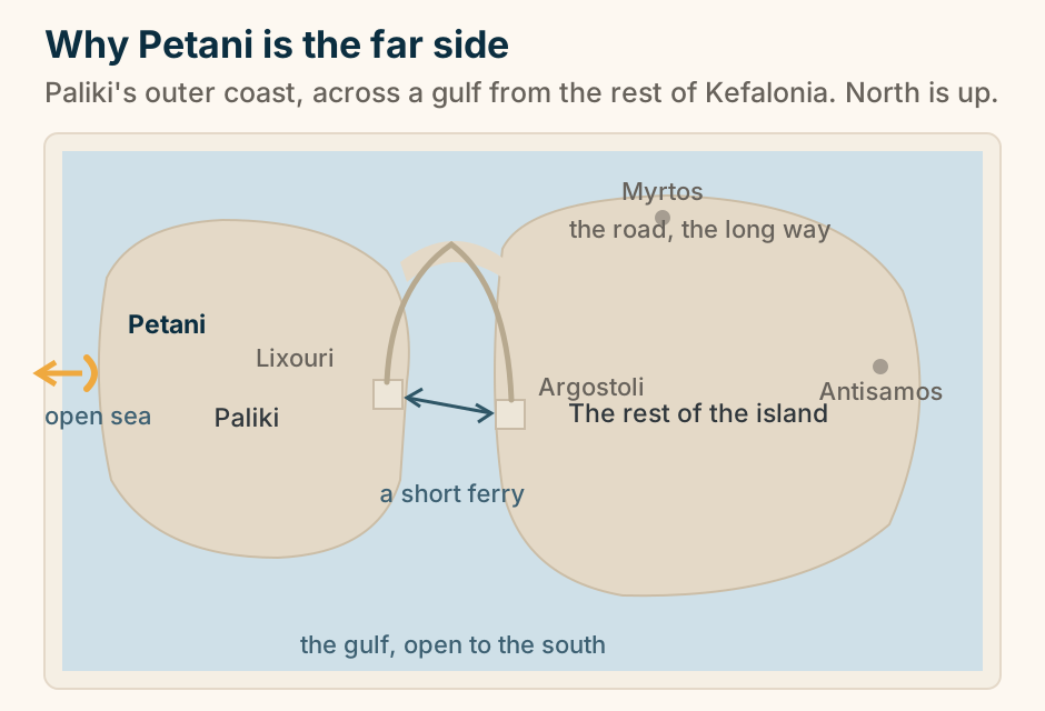
Sami at a glance. What it is: The island’s east coast port. Minutes away: Melissani and Drogarati. Over the hill: Antisamos beach. Ferries to: Ithaca. Why it looks new: Rebuilt after the quake. A port, and the door to the caves. Explained on Sami: a working port with the caves behind it. SVG · CC BY 4.0.
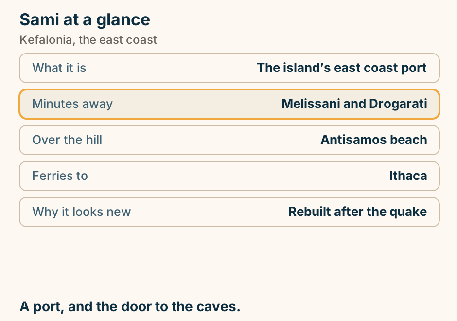
Skala at a glance. Shore: Long sand and fine pebble. Behind it: Pine woods to the shore. In the village: A Roman villa with mosaics. Feel: A week-long beach resort. From Argostoli: About an hour. The one beach here with natural shade behind it. Explained on Skala: pines behind the beach, and a Roman floor in the village. SVG · CC BY 4.0.
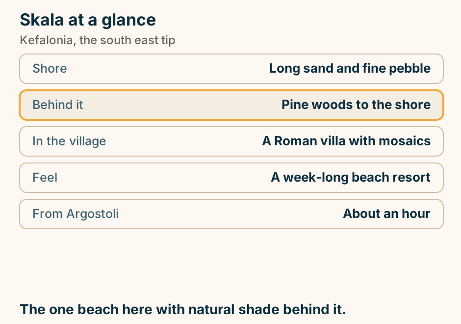
Where to stay in Kefalonia: pick your base. A list of choices for where to stay in Kefalonia. If you want a real town and central position, stay in Argostoli. If you want beaches with town access, stay in Lassi. If you want the prettiest and priciest village, stay in Fiskardo. If you want an unpack once resort week, stay in Skala. It is big and mountainous. Pick your end first. Explained on Where to stay in Kefalonia. SVG · CC BY 4.0.
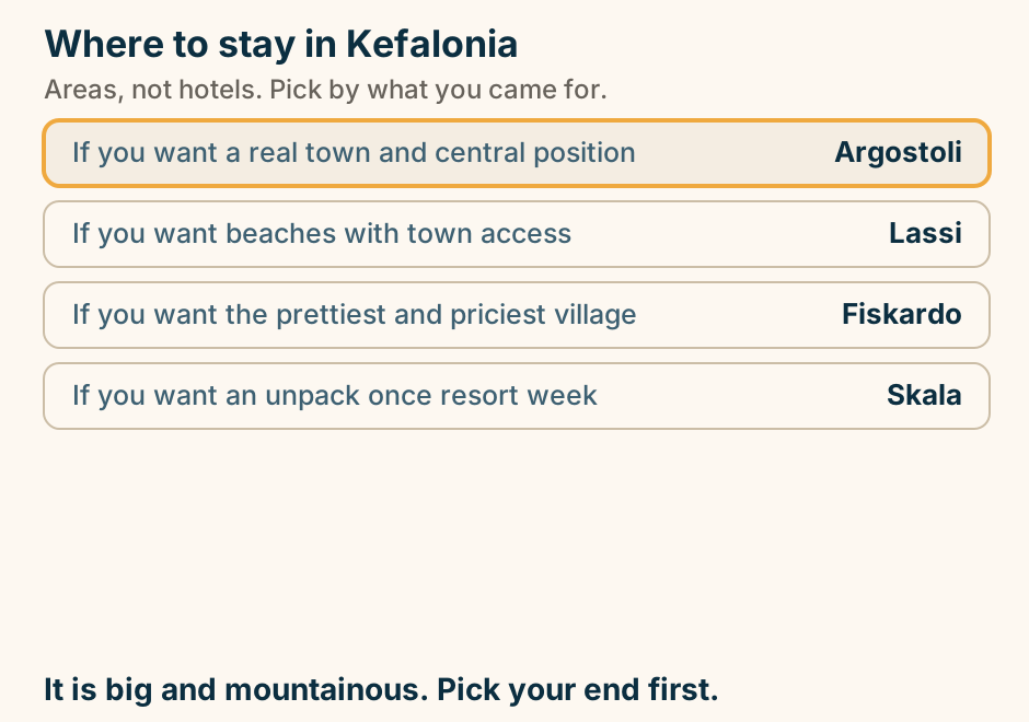
Xi beach at a glance. Shore: Orange-red coarse sand. Entry: Shallow a long way out. Behind it: White clay cliffs. Organised: Loungers and tavernas. Reaching it: Ferry to Lixouri, then road. Red sand, white cliffs, and a very long shallow. Explained on Xi: red sand, white clay, and a very long shallow. SVG · CC BY 4.0.
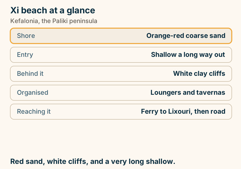
Kos
Casa Romana at a glance. What it is: A reconstructed Roman house. What is original: The mosaic floors. The plan: Rooms round courtyards. Allow: About an hour. Best hour: The middle of the day. The most complete thing in the town, and it is covered. Explained on Casa Romana: a Roman house you walk through. SVG · CC BY 4.0.
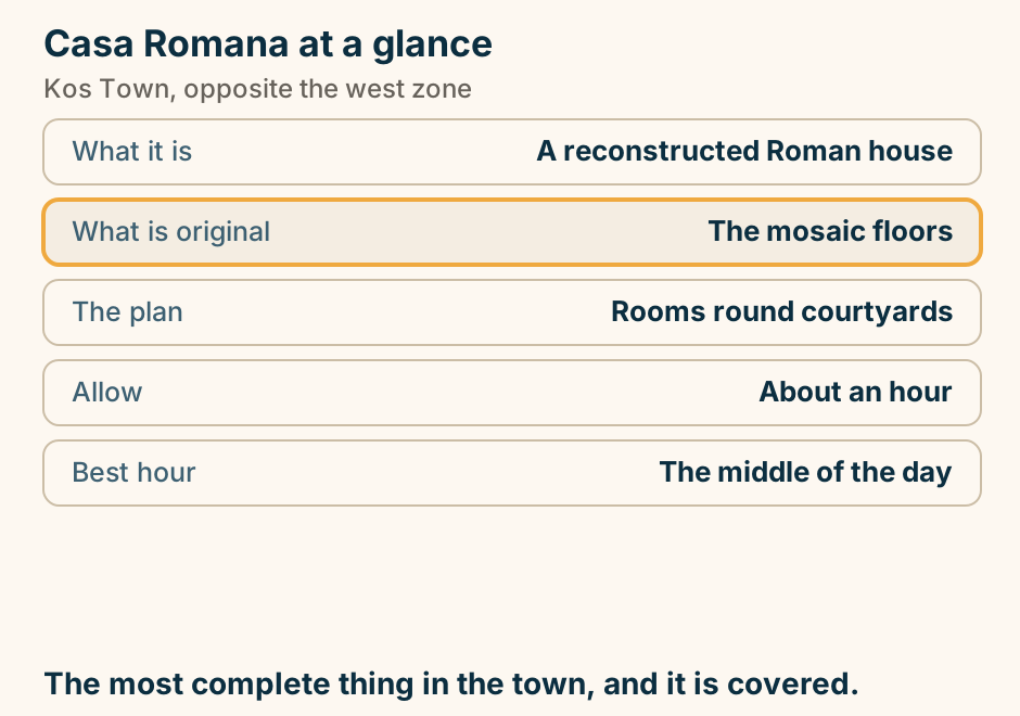
Kardamena at a glance. What it is: The island’s nightlife resort. The strip: Compact and loud in season. The beach: Long sand either side. Boats to: The Nisyros volcano. Nearby: The airport. Loud in the middle, ordinary either side. Explained on Kardamena: the party strip, and the sand either side. SVG · CC BY 4.0.
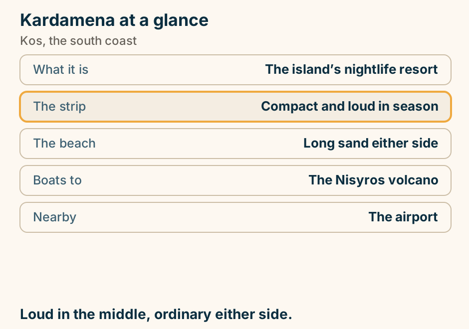
Kefalos bay at a glance. What it is: One long bay of sand. The catch: Each section has a name. Offshore: An islet with basilicas. Above it: A hill village and windmill. From Kos Town: About 45 minutes. One beach, many names. Pick the name, then drive. Explained on Kefalos: one long bay with a different name every kilometre. SVG · CC BY 4.0.
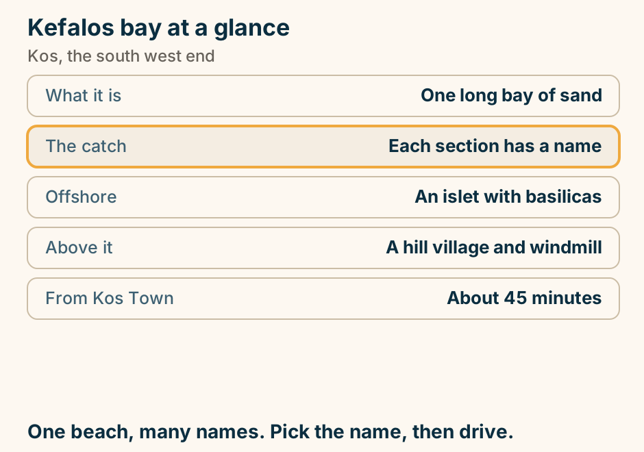
Kos nightlife is two bar streets, about 30 km apart. An outline of Kos, a long island lying southwest to northeast. Two places are marked. Kos Town sits at the northeast tip and is labelled Nafklirou and Diakon, two pedestrian bar lanes in the capital. Kardamena sits on the south coast and is labelled Bar Street and the harbour clubs, the island’s strip. About 30 km of road separates them, drawn as the one highlighted line across the island. The airport lies inland, about 7 km from Kardamena. On Kos the bed you book is the night you get. Explained on Kos nightlife: two bar streets, thirty kilometres apart. SVG · CC BY 4.0.
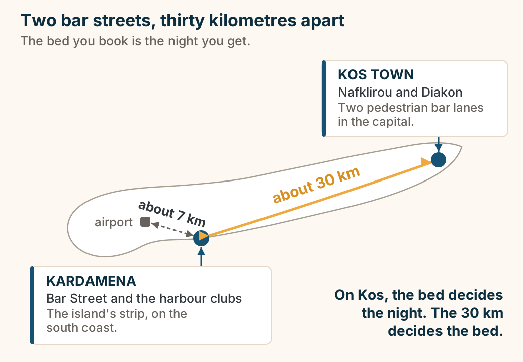
Mastichari at a glance. What it is: A village with a long beach. Ferries to: Kalymnos. Shore: Long shallow sand. Eating: Fish tavernas at the harbour. From Kos Town: About 25 minutes. A beach with a working harbour attached. Explained on Mastichari: a beach, a harbour, and a boat to Kalymnos. SVG · CC BY 4.0.
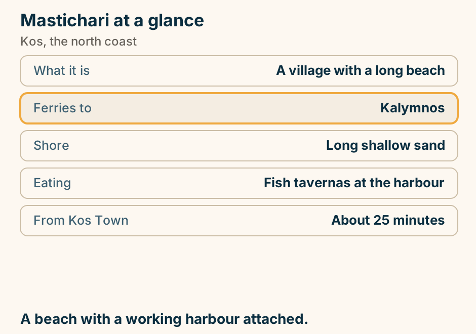
Neratzia Castle at a glance. What it is: A Knights of St John fortress. Access: Varies since the earthquake. In the walls: Reused ancient stone. Beside it: The plane tree and bridge. From outside: Most of it is visible. Check access first. The earthquake changed it. Explained on Neratzia Castle: the Knights’ fortress at the harbour mouth. SVG · CC BY 4.0.
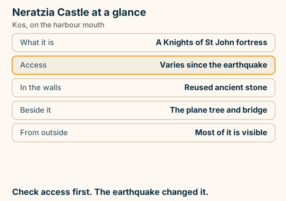
Tigaki beach at a glance. Shore: Long pale sand. Entry: Shallow for a long way. Behind it: The Alykes salt lake. Birds: Flamingos in spring. Reaching it: Bus or an easy cycle. Wade a long way out. That is the whole appeal. Explained on Tigaki: shallow sand, and a salt lake behind it. SVG · CC BY 4.0.
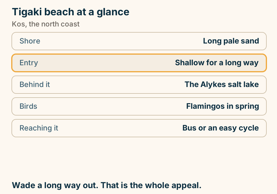
Where to stay in Kos: pick your base. A list of choices for where to stay in Kos. If you want ruins, restaurants and cycling, stay in Kos Town. If you want families and shallow water, stay in Tigaki. If you want quiet and a ferry to Kalymnos, stay in Mastichari. If you want nightlife, on purpose, stay in Kardamena. If you want quiet at the far end, stay in Kefalos. Flat island. A bicycle is real transport here. Explained on Where to stay in Kos. SVG · CC BY 4.0.
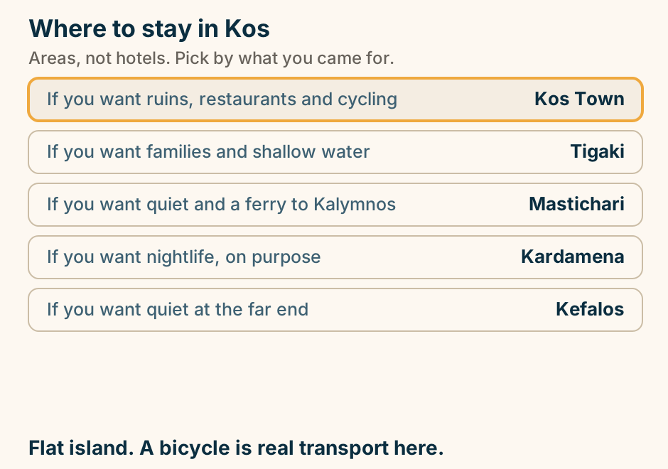
Lefkada
Egremni at a glance. What it is: A long west-coast sand beach. The staircase: Lost to an earthquake. This page gives: No reopening date. Realistic access: By boat. If uncertain: Kathisma instead. The sand is still there. Check before you drive out. Explained on Egremni: the sand is still there, the staircase is not. SVG · CC BY 4.0.
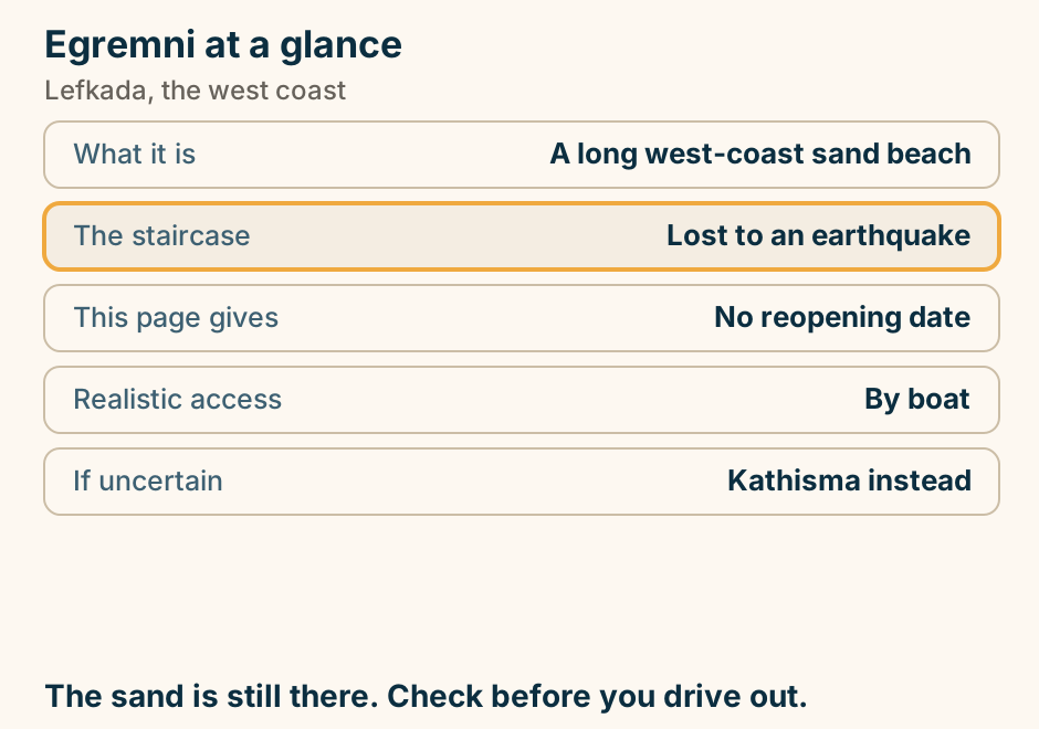
Kathisma at a glance. What it is: The west made easy. Access: Level, straight off the road. There: Loungers and beach bars. Cost of that: It collects the crowds. Compare: Porto Katsiki, Egremni. The west coast without earning it. The crowd is the trade. Explained on Kathisma: the west coast without the staircase. SVG · CC BY 4.0.
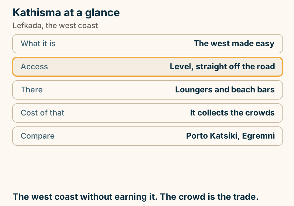
Porto Katsiki at a glance. What it is: Sand under a sheer white cliff. Getting down: A long staircase. Shade: Almost none. Also reachable: By boat from Nydri or Vasiliki. Best hours: Early, or late afternoon. The photograph is real. The staircase is the price. Explained on Porto Katsiki: a wedge of sand under a sheer white cliff. SVG · CC BY 4.0.
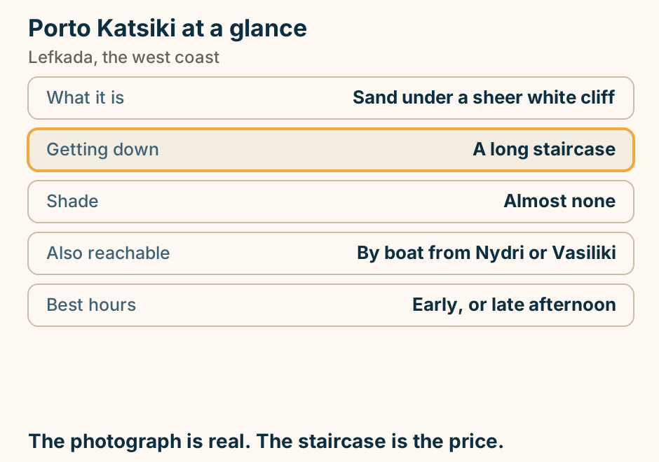
Vasiliki’s afternoon wind is thermal, so it arrives on a daily cycle. A cross-section of Vasiliki Bay with its mountain on the right. In the morning a small, light wind blows onshore, low over the water, gentle enough for beginners. Through the day the sun heats the mountain slope, warm air rises off the rock, and that pulls a cross-shore wind down off the mountain and into the bay, building through the afternoon into the strong conditions advanced sailors come for. When the sun drops behind the ridge the wind usually fades with it. Explained on Lefkada: the Greek island you drive to. SVG · CC BY 4.0.
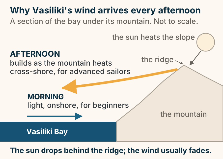
You reach Lefkada by driving over a floating bridge, not by booking a ferry. An orientation schematic of Lefkada and the mainland beside it, north at the top. On the right is the western Greek mainland, carrying Aktion airport near Preveza. A narrow channel, the Lefkada Canal, separates the mainland from the island, and a short floating bridge crosses it at the island’s northern corner: it swings open on a schedule, and traffic waits. A road runs from the airport, across that bridge, and onto the island at Lefkada Town. The island itself is drawn as one long shape with a highland spine down the middle, topped by Mount Stavrota. Its west coast is cliffs and open sea; its east coast is sheltered bays and boat trips. Explained on Lefkada: the Greek island you drive to. SVG · CC BY 4.0.
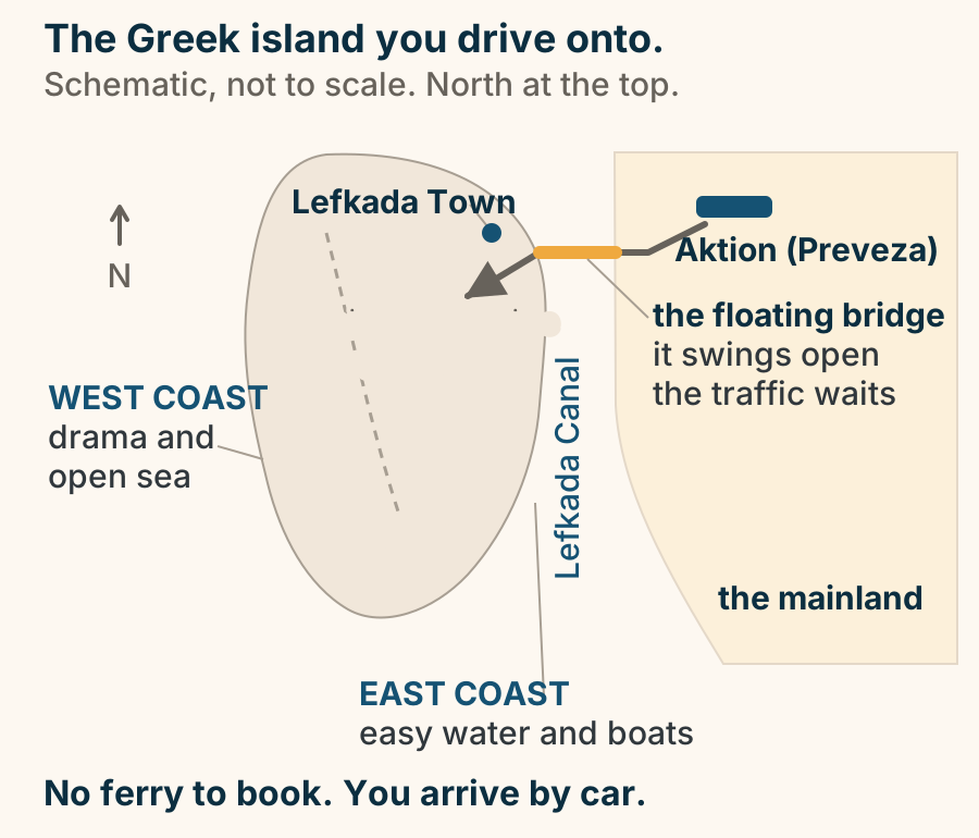
Milos
Adamas at a glance. What it is: The port and transport hub. Boats to: Kleftiko and the south west. Also here: The Mining Museum. Buses: Radiate from the quay. Sunset: Belongs to Plaka, up the hill. Not the prettiest base. Easily the most practical. Explained on Adamas: the port everything on Milos leaves from. SVG · CC BY 4.0.
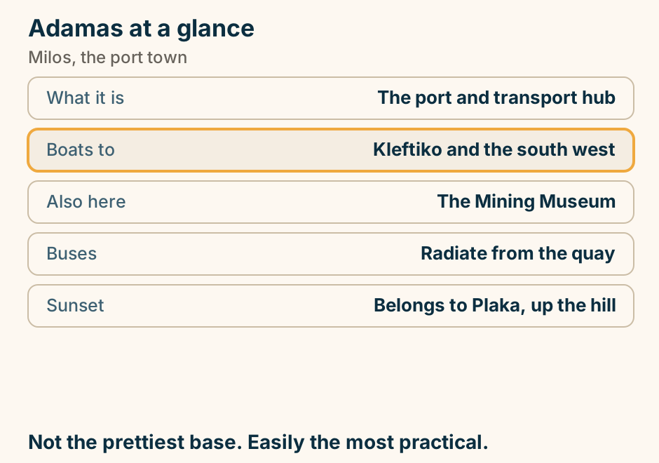
Firiplaka beach at a glance. Shore: Coarse pale sand. Behind it: Banded volcanic cliffs. Access: Sealed road, easy. Shade: Almost none. Next door: Tsigrado and Paliochori. The sheltered side when the meltemi blows. Explained on Firiplaka: long sand under banded cliffs. SVG · CC BY 4.0.
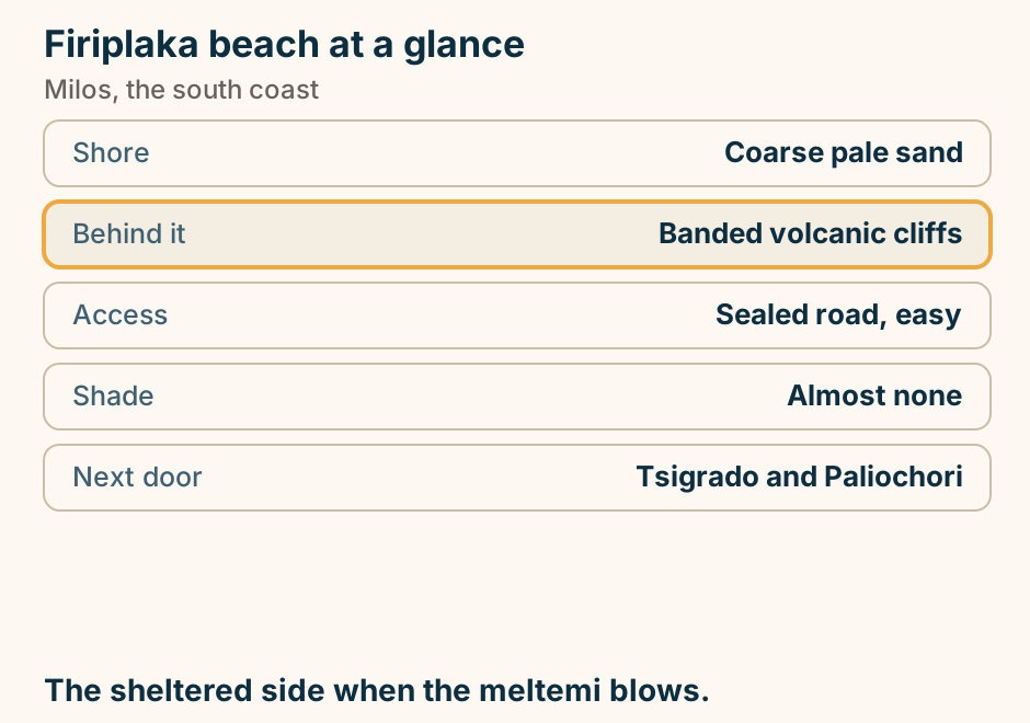
Firopotamos at a glance. What it is: A syrmata hamlet on a bay. Unlike Klima: It has a small beach. Above it: A chapel on the rock. Facilities: None to rely on. Parking: Limited, above the hamlet. Klima’s quieter twin, and this one has a beach. Explained on Firopotamos: Klima’s quieter twin, with a beach. SVG · CC BY 4.0.
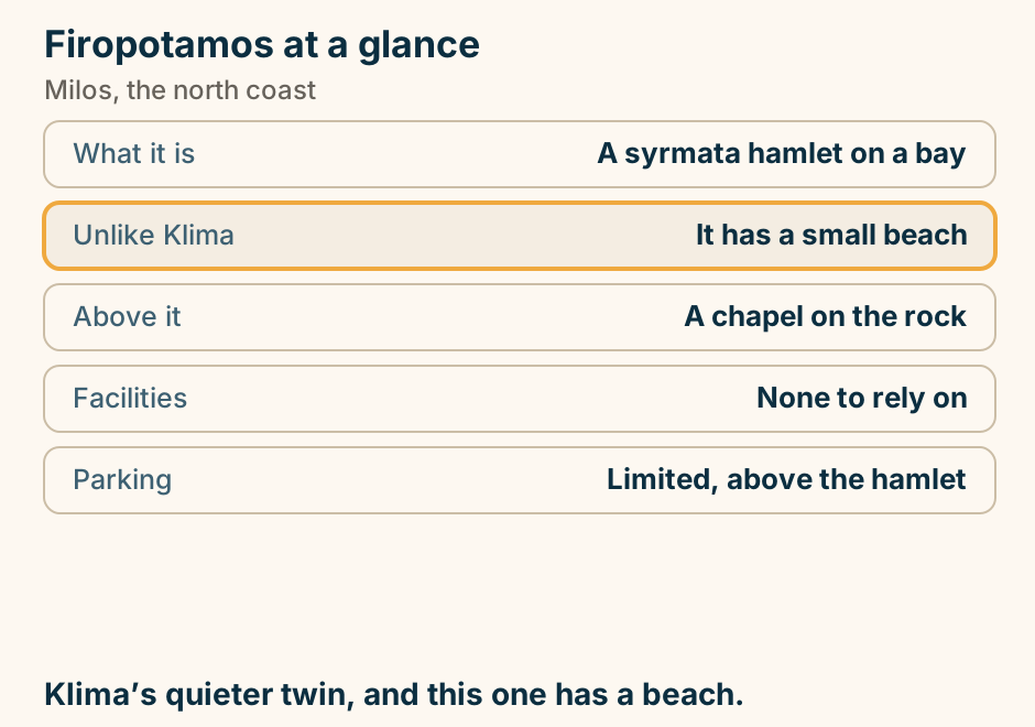
How you reach a beach on Milos. The beaches of Milos are reached four different ways: by paved road, by dirt track, by boat only, or down a rope and ladder. Sarakiniko, Firiplaka, Paliochori and Provatas sit at the end of sealed roads. Kleftiko, the Sykia cave and Gerakas have no land access at all. Tsigrado is reached down a rope-and-ladder descent. Explained on Milos travel guide. SVG · CC BY 4.0.
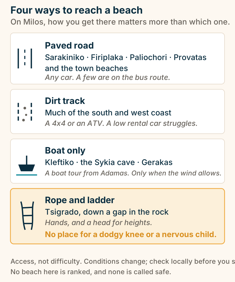
Klima at a glance. What it is: A syrmata fishing hamlet. The syrmata: Boat garages cut in rock. Best hour: Late afternoon light. Swimming: A thin strip, deep water. Parking: Very limited below. Somebody’s home. Photograph the row, not the windows. Explained on Klima: a village of boat garages under a cliff. SVG · CC BY 4.0.
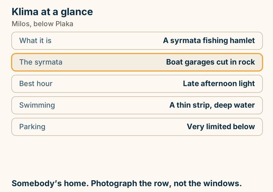
Mandrakia at a glance. What it is: A working fishing hamlet. The draw: Syrmata and a fish taverna. Swimming: Off rock, no beach. Open to: The north wind. From Plaka: A few minutes. Half an hour, unless you are eating. Then two. Explained on Mandrakia: painted doors, a small inlet, and lunch. SVG · CC BY 4.0.
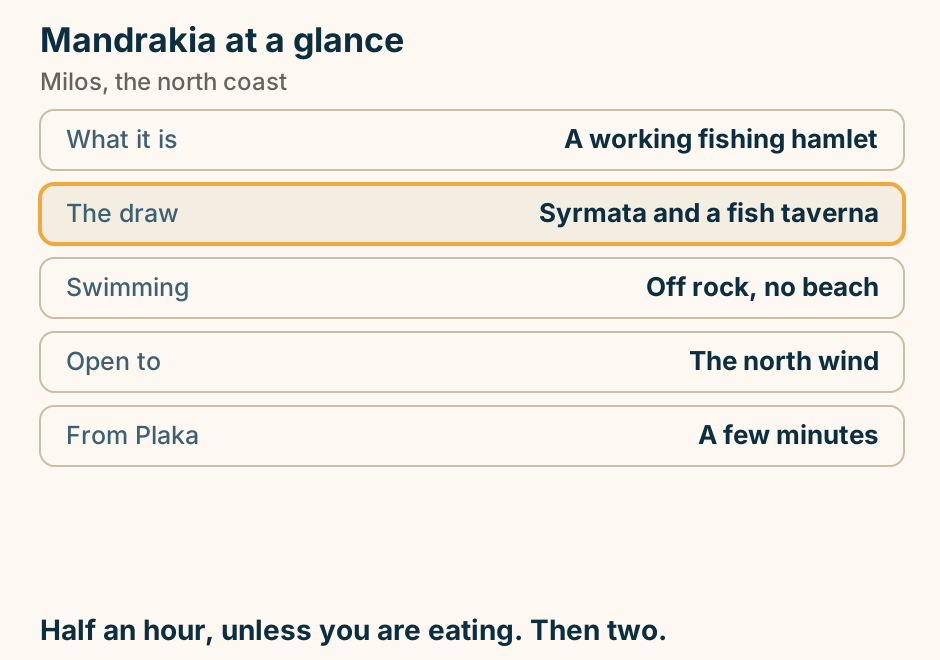
Milos sits on the western Cyclades ferry line. Two different ferry lines leave Piraeus. The western Cyclades line runs through Kythnos, Serifos, Sifnos and Kimolos to Milos. The central line runs through Mykonos, Paros, Naxos and Ios to Santorini. Milos is not on the central line, and hopping between the two is not straightforward. Explained on Milos travel guide. SVG · CC BY 4.0.
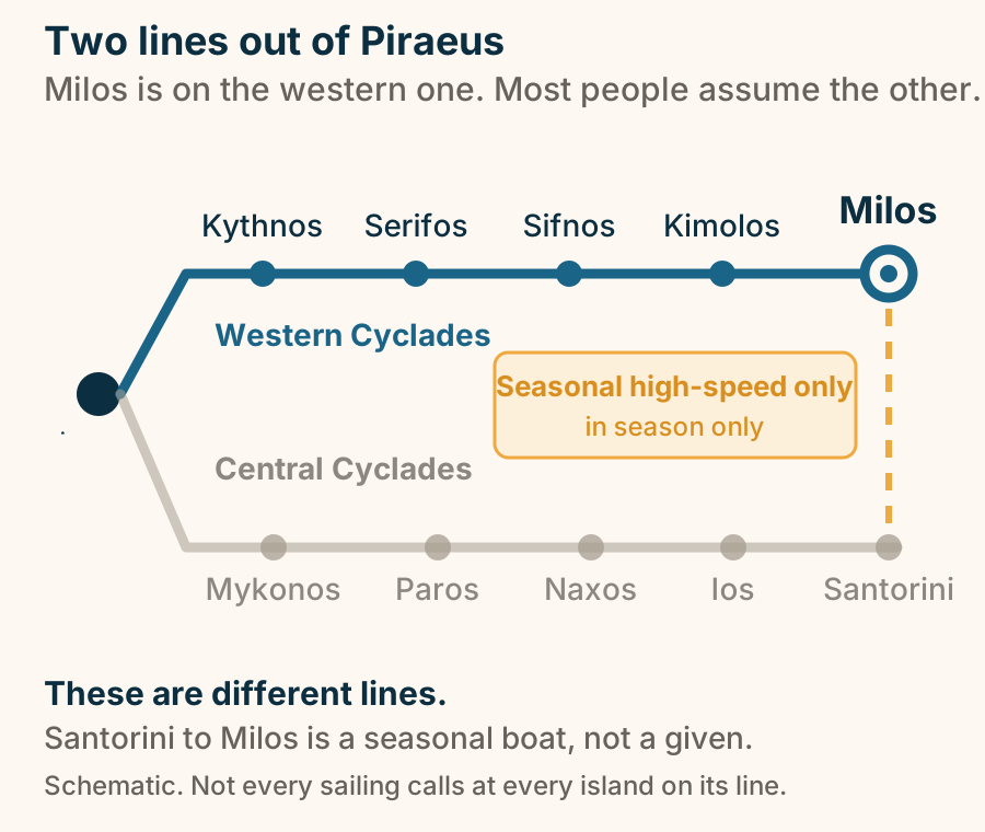
Paliochori beach at a glance. Shore: Sand and pebble in sections. Underfoot: Geothermally warmed patches. Cliffs: Red, ochre and grey. Access: Sealed road with parking. Wind: Sheltered from the north. Watch where you put the towel. Some sand is hot. Explained on Paliochori: the beach the volcano is still heating. SVG · CC BY 4.0.
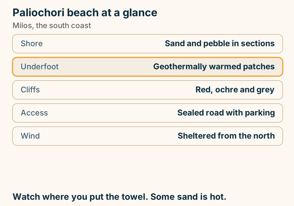
Papafragas at a glance. What it is: A sea channel in white rock. The visit: From the cliff above. Getting down: A steep unmade scramble. Best light: The middle of the day. Next door: Phylakopi, Bronze Age. A viewpoint. The way down is unmade and gives way. Explained on Papafragas: a slot of turquoise water in white rock. SVG · CC BY 4.0.
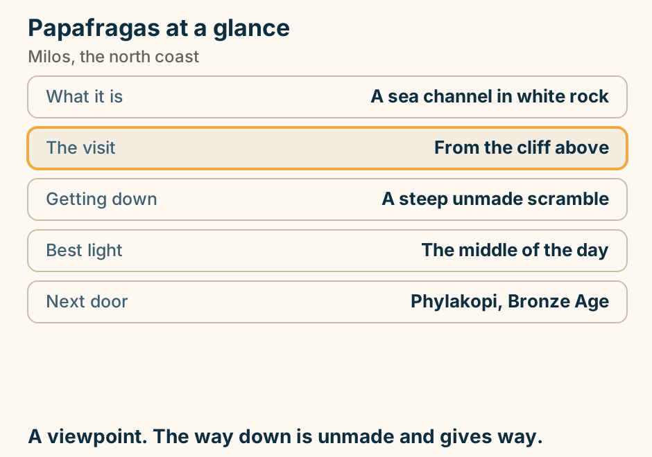
Plaka at a glance. What it is: The island capital on a hill. Above it: A ruined Venetian kastro. The climb: 10 to 15 minutes of steps. Cars: Cannot enter the lanes. Below it: Tripiti and the catacombs. Go up early. Sunset is a parking problem. Explained on Plaka: the capital on the hill, and the rock above it. SVG · CC BY 4.0.
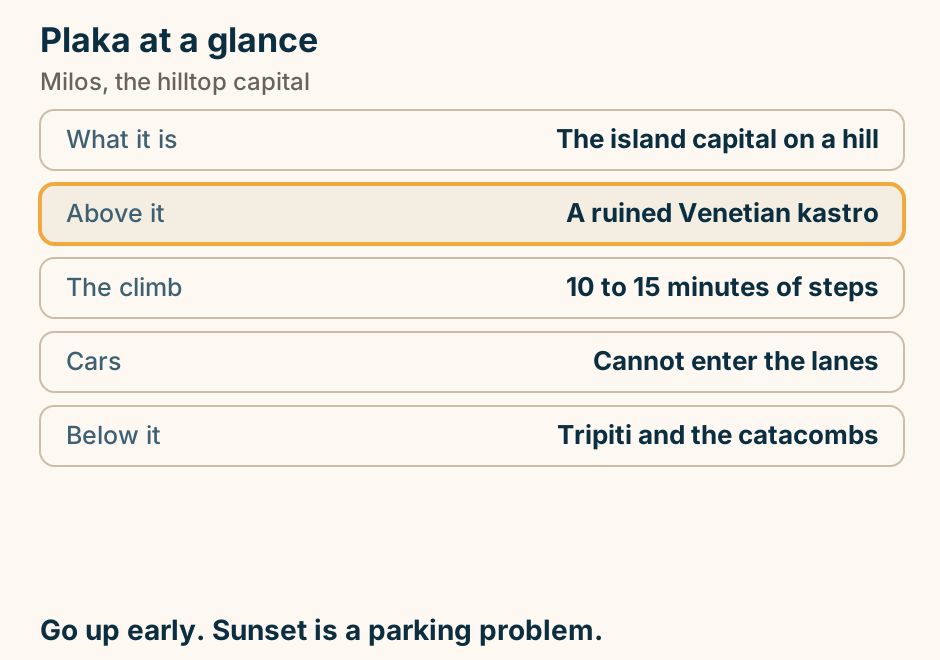
Pollonia at a glance. What it is: A calm fishing village. Known for: Waterfront fish tavernas. Ferry to: Kimolos, across the strait. The beach: Small and sheltered. From Adamas: About 20 minutes. The quiet base, and the furthest from everything. Explained on Pollonia: fish tavernas, a small bay, and the boat to Kimolos. SVG · CC BY 4.0.
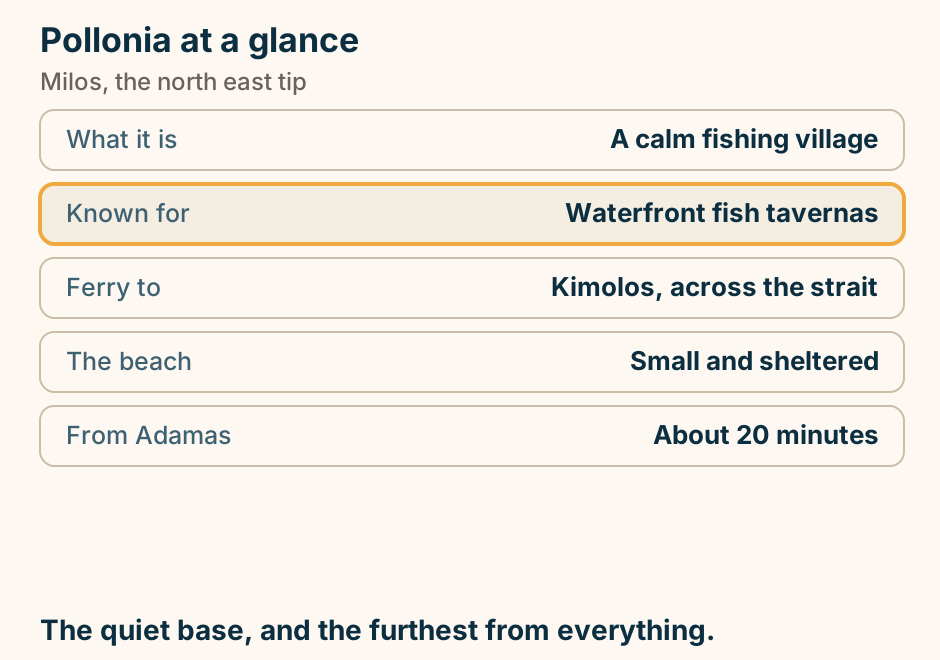
Sarakiniko: a rock with a beach in it. A plan of Sarakiniko, looking straight down. The sea lies across the top of the frame, to the north. Below it is white volcanic rock, the same rock on both sides, with no shade on it and nothing to fix an umbrella to. A narrow inlet of water cuts south into the rock from the sea, narrowing as it goes, and rock shelves run down both of its sides. At the head of the inlet, its innermost point, there is a small strip of sand, and that is the beach. The road and the car park arrive from the land side at the bottom, so you arrive behind the rock and walk over it. At the top, a compass marks north, and the north wind blows straight into the mouth of the inlet. The rock is the place and the beach is a detail inside it. Explained on Sarakiniko beach, Milos: a rock with a beach in it. SVG · CC BY 4.0.
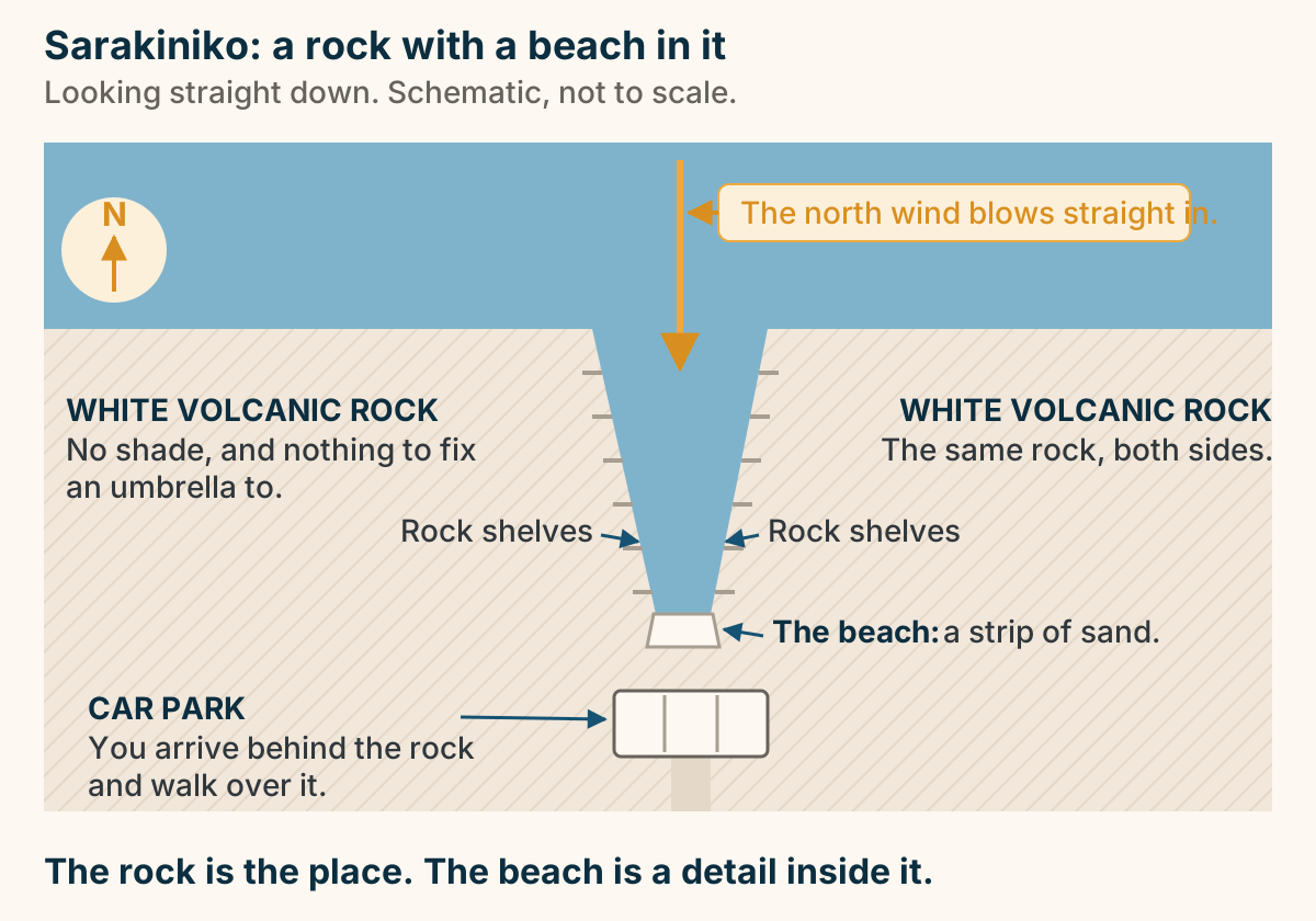
The Catacombs of Milos at a glance. What they are: Early Christian burial galleries. In use: First to fifth centuries AD. The visit: A short guided route. Allow: 15 to 20 minutes. Nearby: Theatre and Venus find spot. Set hours, and it closes. Check before the drive up. Explained on The Catacombs of Milos: burial galleries in the hillside. SVG · CC BY 4.0.
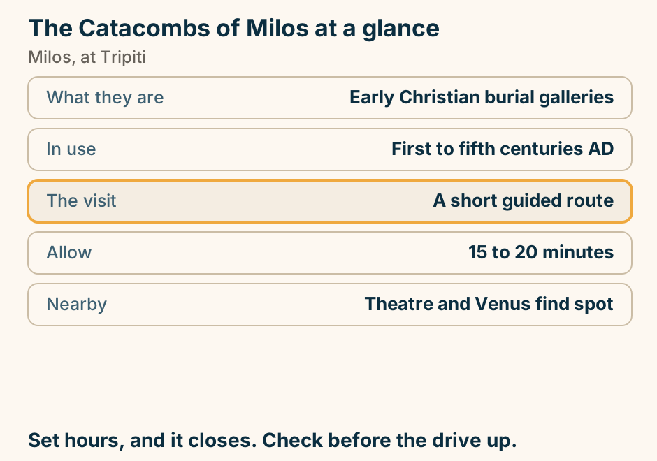
Where to stay in Milos: pick your base. A list of choices for where to stay in Milos. If you want ferries and least friction, stay in Adamas. If you want better evenings and quiet, stay in Pollonia. If you want views and character, stay in Plaka or Trypiti. If you want value and local life, stay in The inland villages. You will drive wherever you sleep. Choose the evenings. Explained on Where to stay in Milos. SVG · CC BY 4.0.
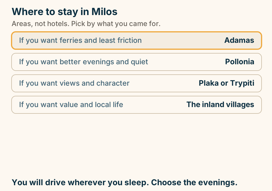
Mykonos
Agios Ioannis at a glance. What it is: A small sheltered cove. It faces: West, across to Delos. Which means: The sunset is the draw. Compared with: Quieter than the clubs. Size: Small. It fills. The one beach that faces the sunset. Explained on Agios Ioannis: a small beach facing Delos, and the sunset. SVG · CC BY 4.0.
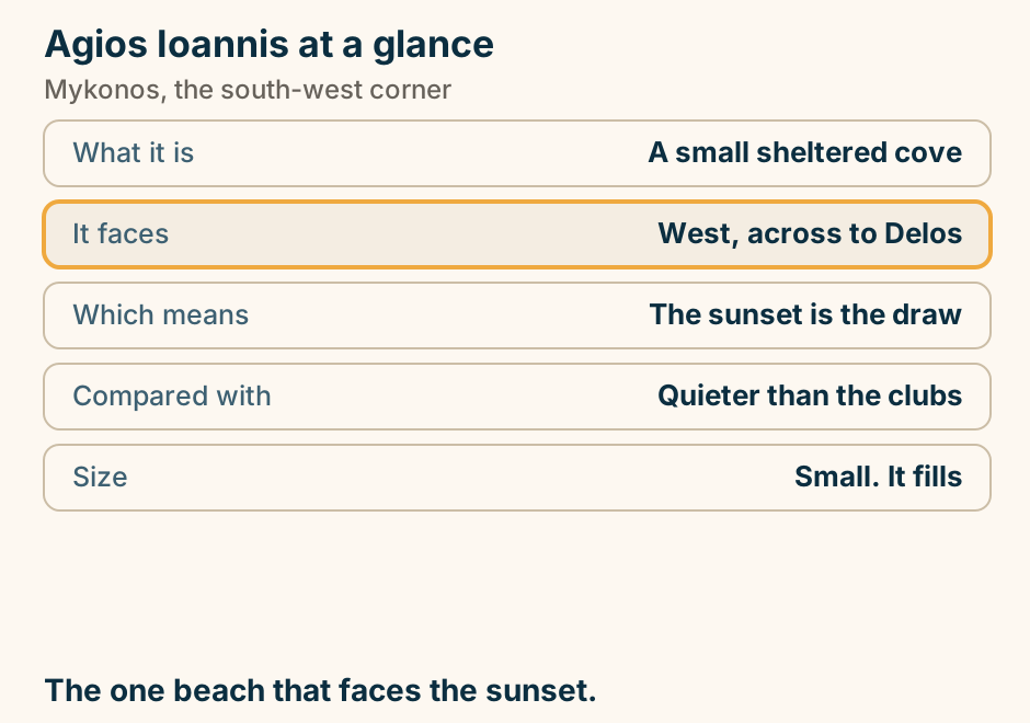
Agios Sostis at a glance. What it is: An undeveloped beach. Facilities: None, by design. Getting there: A path down from the road. Wind: Faces the meltemi. Above it: A day-only taverna. Bring everything. There is nothing there at all. Explained on Agios Sostis: no loungers, no bar, no shade. SVG · CC BY 4.0.
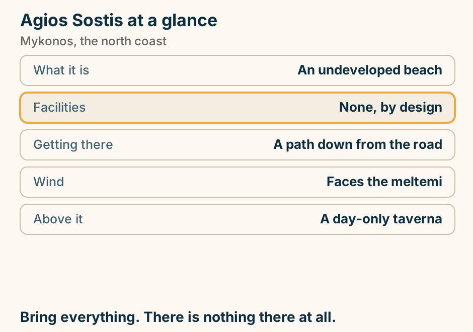
Ano Mera at a glance. What it is: The island’s inland village. On the square: A sixteenth century monastery. Inside it: A carved gilded iconostasis. Eating: Under trees, not at the harbour. From town: About 15 minutes. A village square with village prices. Explained on Ano Mera: the inland village Mykonos forgot to gentrify. SVG · CC BY 4.0.
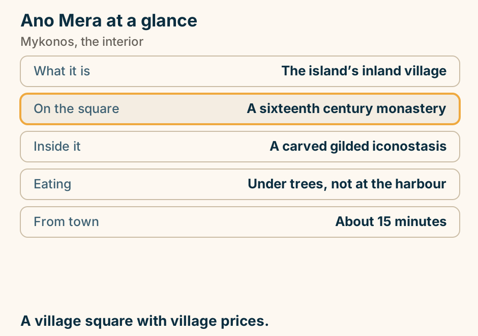
Delos at a glance. Crossing: About half an hour. On the island: A few hours, set by the boat. Staying: Nobody does; it is a site. Shade: Almost none. Stopped by: Strong wind. The timetable is the itinerary. Take the first boat. Explained on The Delos day trip: the logistics, not the mythology. SVG · CC BY 4.0.
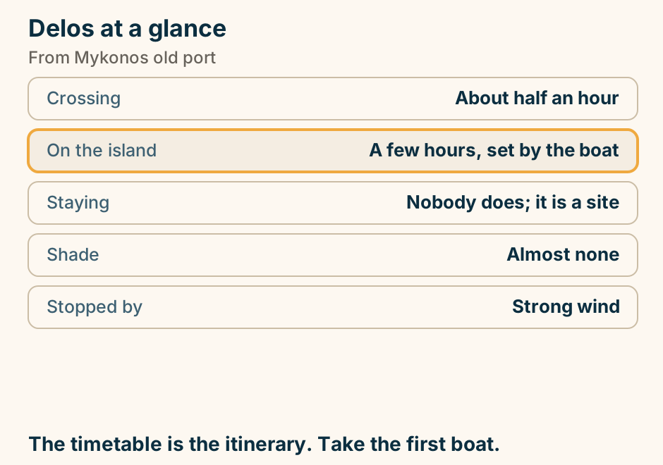
Elia beach at a glance. Shore: The island’s longest sand. Organised: Fully, end to end. Noise: Calmer than Paradise. Known for: A long-standing gay section. Reaching it: Road, or the sea bus. Long enough that the ends stay quiet. Explained on Elia: the longest beach on Mykonos. SVG · CC BY 4.0.
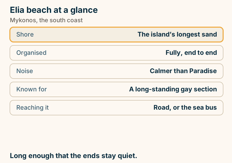
Kalafatis beach at a glance. Shore: A long sandy bay. Known for: Windsurfing and diving. Crowds: Room, even in August. Prices: Below the famous bays. Calm hours: Morning. Space, and wind that the boards want. Explained on Kalafatis: the windward beach with room on it. SVG · CC BY 4.0.
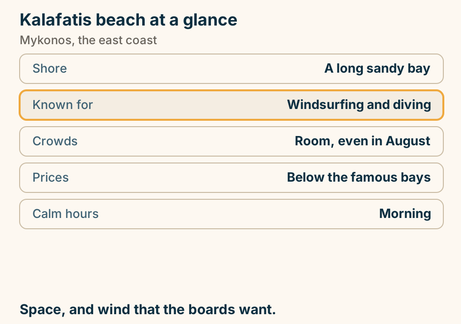
Ornos beach at a glance. What it is: A sheltered horseshoe bay. Entry: Shallow and calm. Behind it: Restaurants on the sand. Boats to: The south coast beaches. From town: A few minutes. The calm bay closest to town. Explained on Ornos: the calm bay closest to town. SVG · CC BY 4.0.
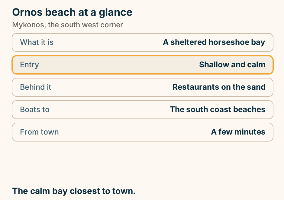
Paraportiani at a glance. What it is: Five chapels merged into one. The look: Curves, domes, no straight lines. Inside: Not generally open. Best hour: Late afternoon. Allow: A couple of minutes. Two minutes, on the way to Little Venice. Explained on Paraportiani: five chapels that grew into one building. SVG · CC BY 4.0.
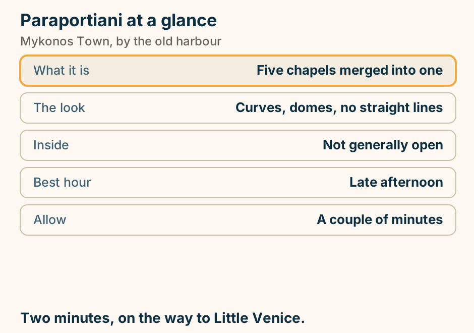
Platis Gialos at a glance. What it is: A long organised bay. Why it matters: The sea bus starts here. Entry: Shallow and gentle. Behind it: Hotels and tavernas. Reaching it: Frequent buses from town. The hinge of a car-free week on this island. Explained on Platis Gialos: the beach that doubles as a transport hub. SVG · CC BY 4.0.
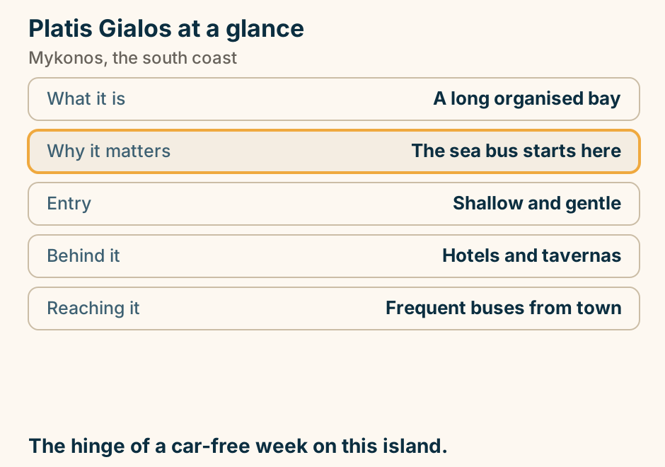
Psarou beach at a glance. What it is: A small sheltered cove. Known for: Yachts and high prices. Swimming: Calm and clear. Loungers: Booked well ahead. Reaching it: Narrow road, or sea bus. The sand is public even where the front row is not. Explained on Psarou: a small bay with the island’s biggest prices. SVG · CC BY 4.0.
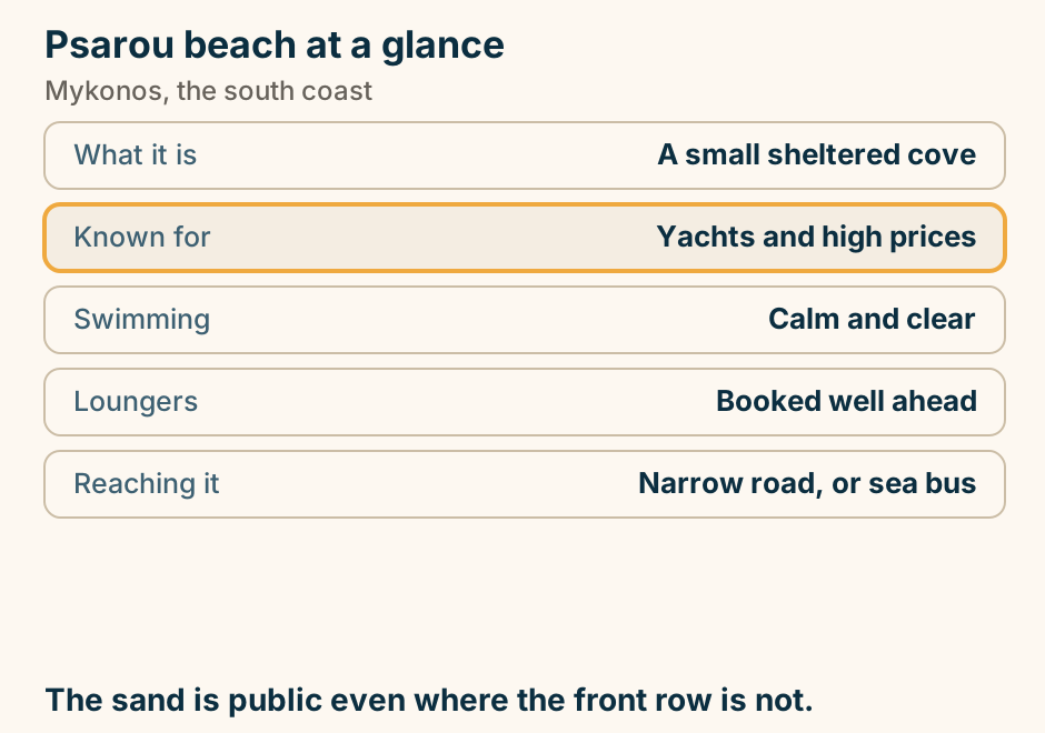
Rafina or Piraeus for the Mykonos ferry. From Athens airport, the express bus reaches Rafina port in about 30 minutes, and the fast ferry from Rafina to Mykonos takes about 2 hours 10 minutes to 2 hours 30 minutes. Piraeus is 60 to 90 minutes from the airport across the city, and the fast ferry from Piraeus to Mykonos takes about 2 hours 40 minutes to 3 hours 30 minutes. Rafina is the shorter journey, and most people book Piraeus out of habit. Explained on Mykonos travel guide. SVG · CC BY 4.0.
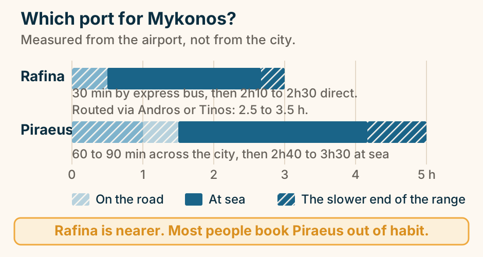
Super Paradise at a glance. What it is: The island’s party beach. Music starts: Around the middle of the day. Shore: Sand, clear water. Cost: The expensive end. Reaching it: Road, or the sea bus. Quiet cove in the morning, club by mid afternoon. Explained on Super Paradise: the party beach, described honestly. SVG · CC BY 4.0.
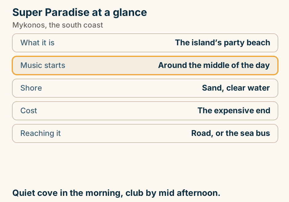
The meltemi and the beaches of Mykonos. The meltemi blows from the north across Mykonos, so the beaches on the south coast sit in the island’s wind shadow while the north coast takes the wind directly. The wind is strongest from July into September. Explained on Mykonos travel guide. SVG · CC BY 4.0.
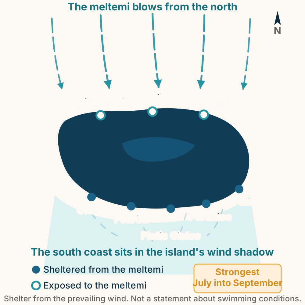
The Mykonos windmills at a glance. What it is: Seven working-era mills. Built for: Milling for ships. Inside: One, the Boni museum. Best hour: Early morning. Reaching it: Walk up from the waterfront. Go at dawn. Everyone else goes at sunset. Explained on The Mykonos windmills, and the trade that built them. SVG · CC BY 4.0.
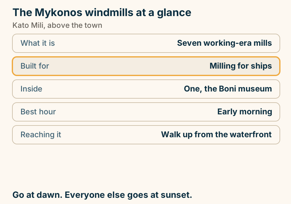
Naxos
Agia Anna at a glance. Shore: Soft sand, shallow water. Behind it: Tavernas and rooms. Between: Agios Prokopios and Plaka. Wind: The coast catches the meltemi. Reaching it: Frequent bus from town. The one with a village attached. Explained on Agia Anna: a beach with a village attached. SVG · CC BY 4.0.
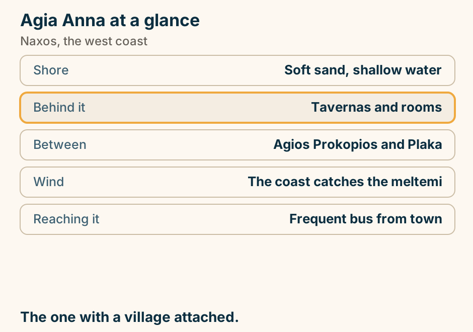
Agios Georgios at a glance. What it is: The beach of Naxos Town. Why choose it: Ten minutes from the port. Entry: Shallow a long way out. Far end: Beginner windsurfing. Better sand: South, at Agios Prokopios. The one you can walk to with a suitcase in the room. Explained on Agios Georgios: the beach you can walk to from the ferry. SVG · CC BY 4.0.
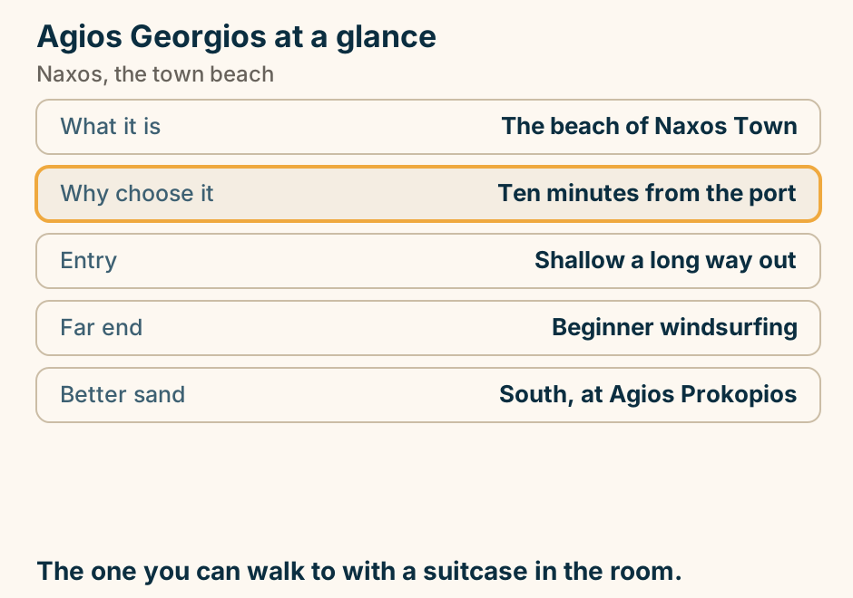
Apeiranthos at a glance. What it is: A mountain village. Underfoot: Marble, from the hill itself. It kept: Its own dialect. Also there: Several small museums. Reaching it: About 40 min by car. A village, not an attraction. The drive is half of it. Explained on Apeiranthos: marble lanes and a village that kept its accent. SVG · CC BY 4.0.
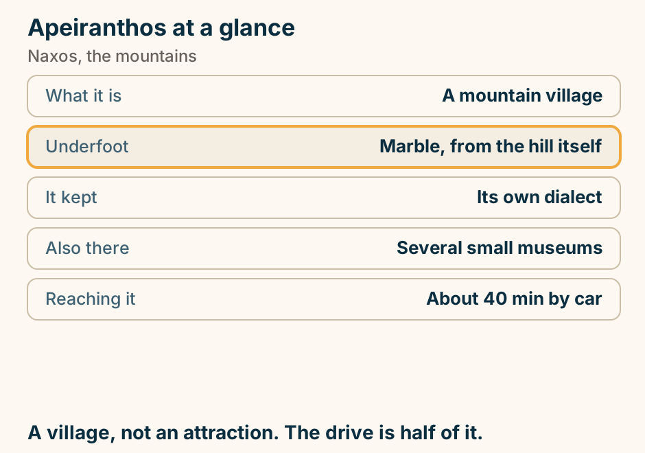
Filoti at a glance. What it is: The largest mountain village. The square: Broad and plane-shaded. Above it: The path up Mount Zas. Around it: Tragaea chapels and olives. From town: About half an hour. The best square in the island’s interior. Explained on Filoti: the biggest village in the Naxos mountains. SVG · CC BY 4.0.
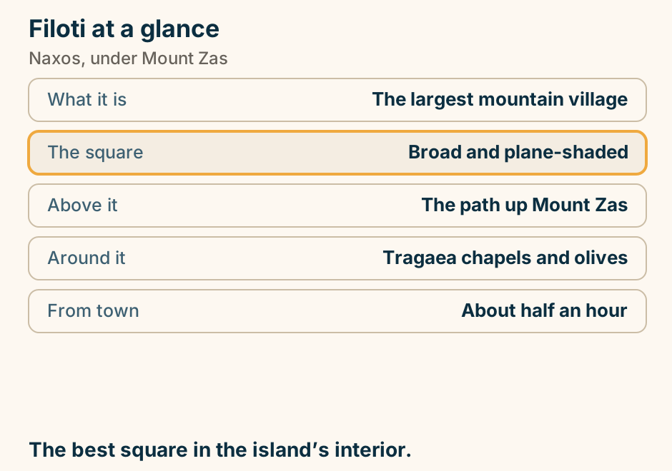
Halki at a glance. What it is: The old inland capital. Made here: Kitron, the citron liqueur. On the square: A Byzantine church. Around it: Olive groves and walks. Allow: An hour with coffee. The island’s interior in one short stop. Explained on Halki: the quiet capital of the Naxos interior. SVG · CC BY 4.0.
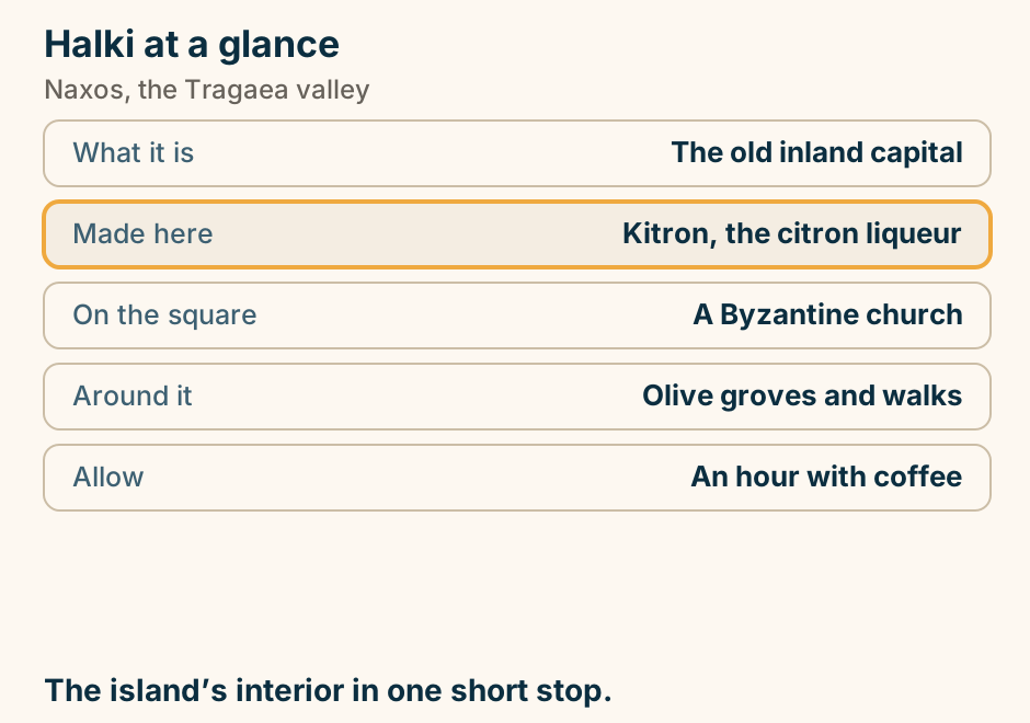
Mikri Vigla at a glance. The headland: Splits two beaches. North side: Kitesurfing and wind. South side: Sheltered sand at Parthena. Crowds: Fewer than nearer town. From town: About 20 minutes. Wind on one side, calm on the other, minutes apart. Explained on Mikri Vigla: the wind on one side, calm on the other. SVG · CC BY 4.0.
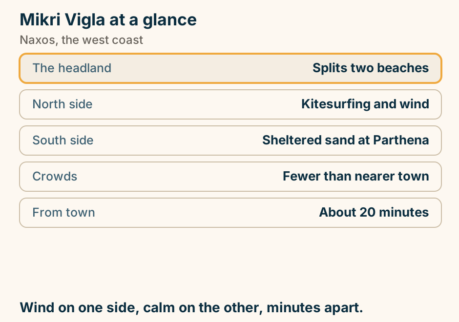
Mount Zas at a glance. What it is: The Cyclades high point. Height: 1,004 metres. The walk: Two to three hours return. Shade and water: Neither, on the mountain. Starts from: Above Filoti. A real hill walk. Start early and carry water. Explained on Mount Zas: the highest point in the Cyclades. SVG · CC BY 4.0.
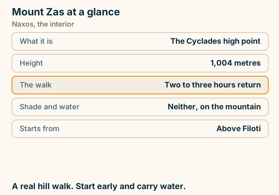
The Kouros of Apollonas at a glance. What it is: An unfinished giant statue. Length: Over ten metres. Why abandoned: Flaws in the marble. Still: Attached to the bedrock. From town: An hour or more. Ten minutes at the top of a very good drive. Explained on The Kouros of Apollonas: a giant that never left the quarry. SVG · CC BY 4.0.
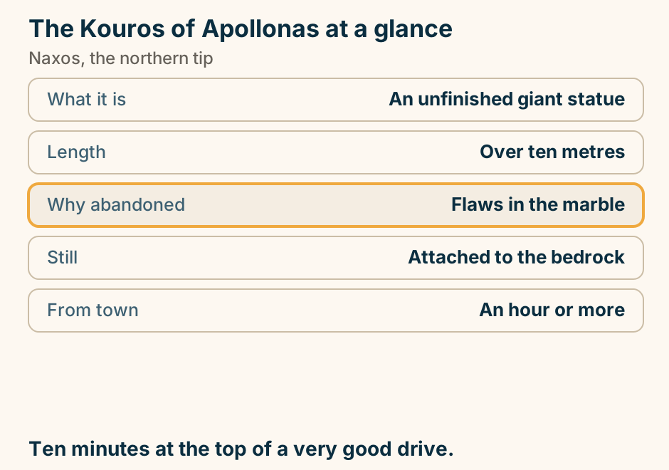
The lifting bosses on the Portara were never cut off. The marble gate of the Portara, drawn with the carved lifting bosses still on its blocks. The bosses are the handles the masons hitched ropes to in order to haul each block up by crane. They are cut away and the stone dressed smooth at the end of a job. On the Portara they are still there, because nobody ever came back to finish the temple. Explained on The Portara: a door that was never given a building. SVG · CC BY 4.0.
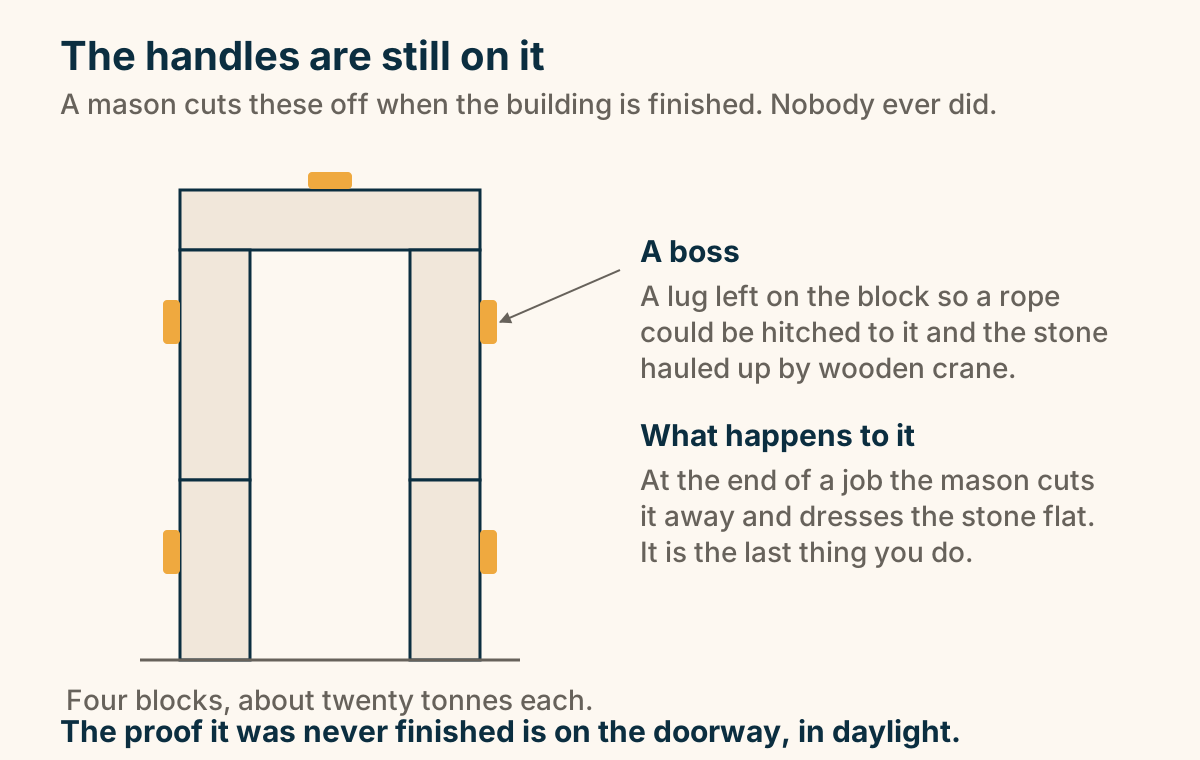
The Temple of Demeter at a glance. What it is: A small marble temple. Age: Sixth century BC. Restored by: Re-erecting its own stones. Also there: A small site museum. Allow: 20 to 30 minutes. Marble in a field, and usually nobody else. Explained on The Temple of Demeter: marble in a field at Sangri. SVG · CC BY 4.0.
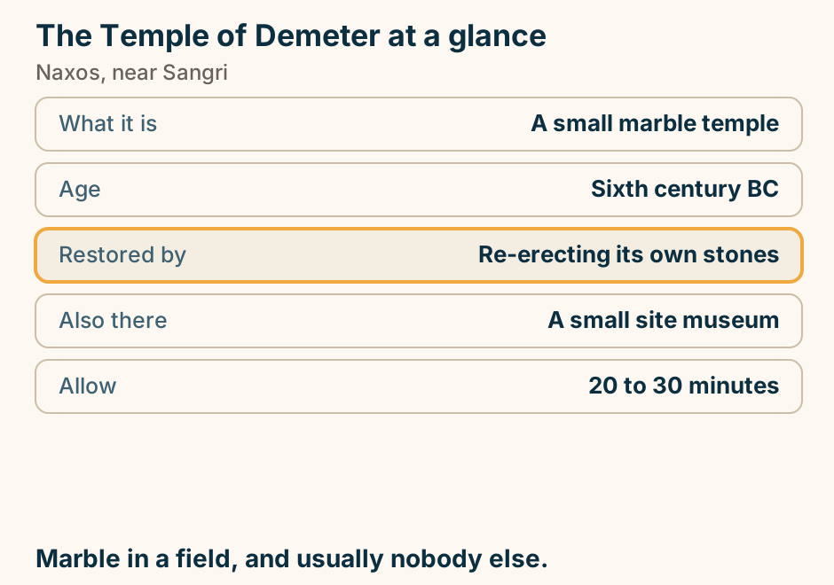
Where to stay in Naxos: pick your base. A list of choices for where to stay in Naxos. If you want a real town and no car, stay in Chora. If you want a beach base with facilities, stay in Agios Prokopios. If you want small and low key, stay in Agia Anna. If you want long, quiet sand, stay in Plaka. If you want mountains and villages, stay in Filoti or Apeiranthos. The town has a beach attached. Most people stop there. Explained on Where to stay in Naxos. SVG · CC BY 4.0.
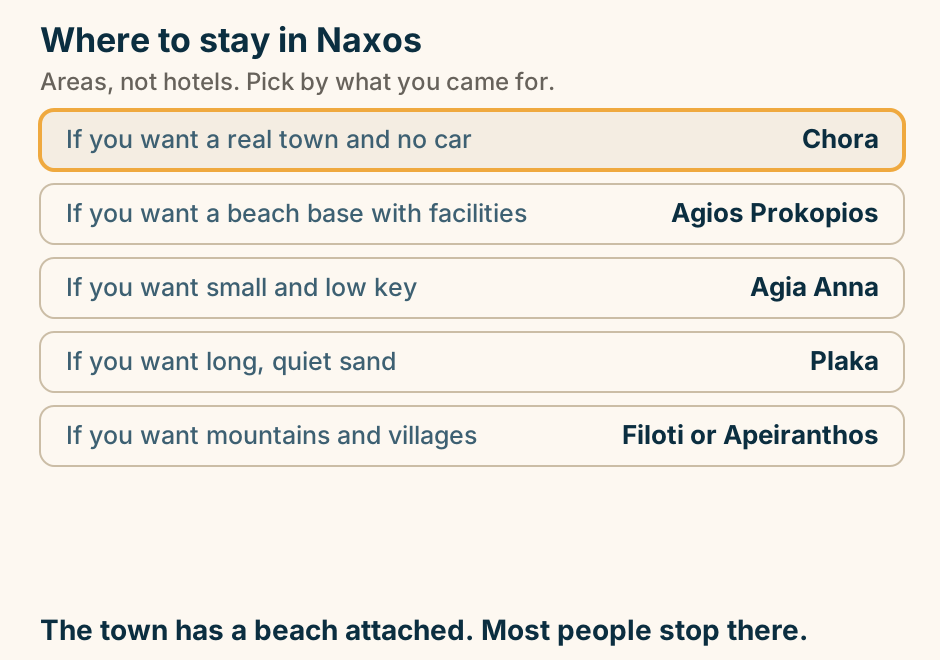
Paros
Aliki at a glance. What it is: A fishing village and coves. Facing: South, out of the meltemi. Shore: Small sandy coves. Eating: Fish tavernas on the water. Nearby: The airport, minutes away. The sheltered side when the north is blowing. Explained on Aliki: a fishing village with beaches either side. SVG · CC BY 4.0.
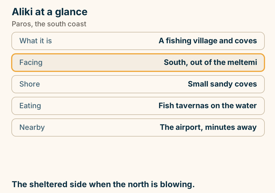
Golden Beach at a glance. Shore: Long shallow sand. Known for: Windsurfing. Next door: New Golden Beach. Wind: Builds through the afternoon. From Parikia: About 20 minutes. Mornings for swimming, afternoons for boards. Explained on Golden Beach: the east-coast sand the wind found first. SVG · CC BY 4.0.
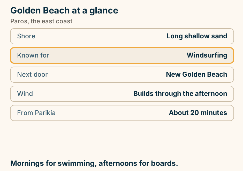
Lefkes at a glance. What it is: The old inland capital. Built inland: Out of sight of pirates. The walk: A marble Byzantine road. Underfoot: Steps and narrow lanes. From Parikia: About 20 minutes. Walk the old road downhill and arrange the ride back. Explained on Lefkes: a hill village with a marble road out of it. SVG · CC BY 4.0.
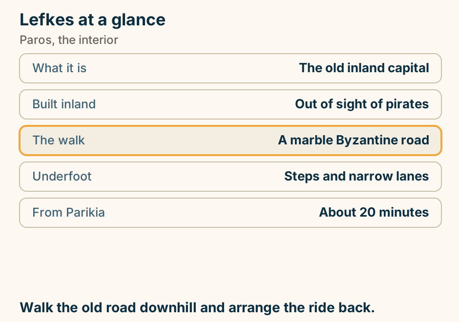
Monastiri at a glance. What it is: A cove inside a nature park. Why choose it: Calm when the north blows. Behind it: A monastery and trails. Getting there: By road, or the small boat. Built up: It cannot be. Protected. Calm water, and a headland with nothing on it. Explained on Monastiri: a sheltered cove with a nature park behind it. SVG · CC BY 4.0.
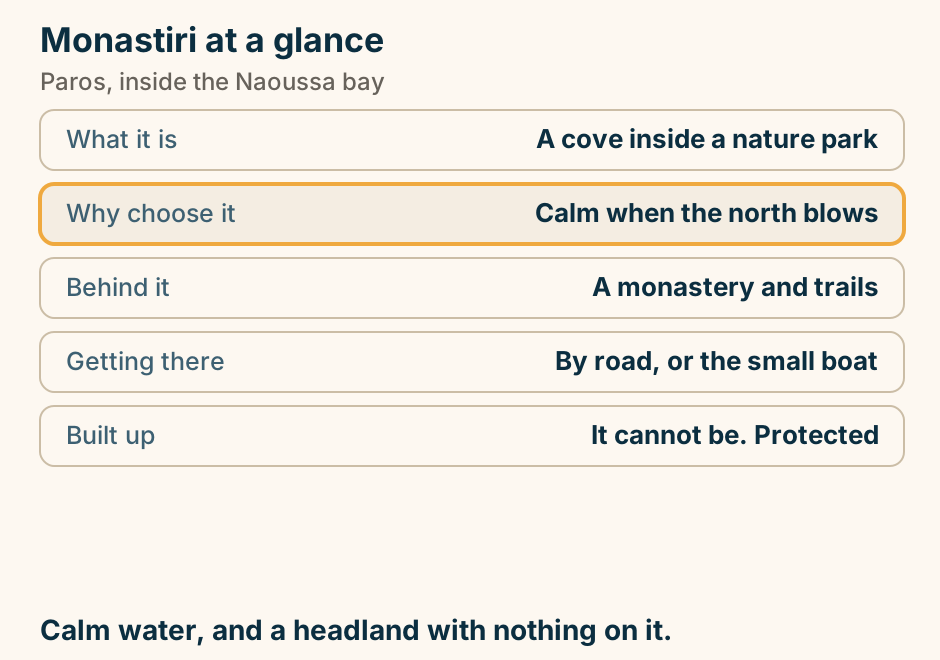
Naoussa at a glance. What it is: A working fishing harbour. To walk out to: The half-sunken fort. Known for: The island’s best eating. Beaches: A short boat across the bay. Reaching it: 20 min by bus from Parikia. The beaches are across the bay, not in the town. Explained on Naoussa: a working harbour that became the island’s dinner table. SVG · CC BY 4.0.
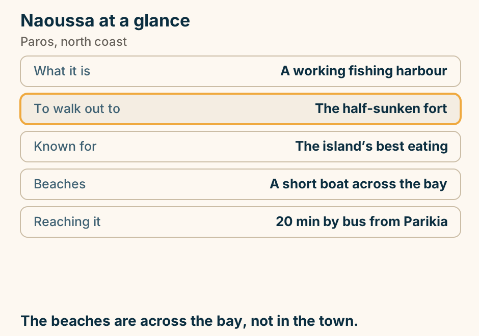
Parikia at a glance. What it is: The port and the old town. The surprise: A kastro built of a temple. Also here: The Hundred Doors church. Buses: The island network starts here. Compared with: Naoussa: older, less polished. Turn inland. The old town starts one street back. Explained on Parikia: arrive, and then turn inland. SVG · CC BY 4.0.
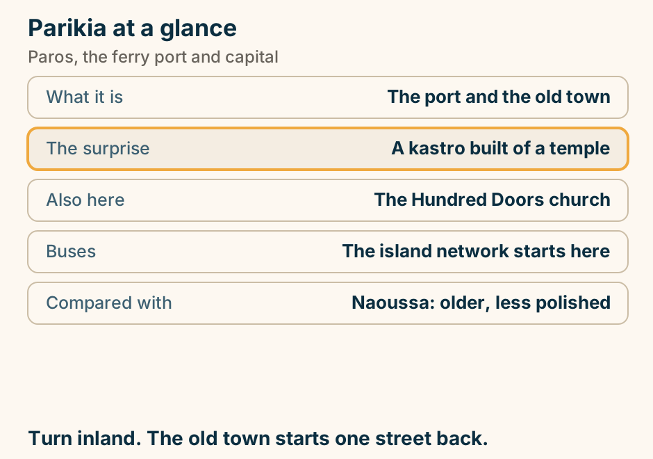
Piso Livadi at a glance. What it is: A working fishing harbour. Why it matters: Where you eat after the beach. Its own beach: Small, sandy, sheltered. Minutes away: The windsurfing beaches. The wind: The east coast takes it. A small harbour that feeds a whole coast. Explained on Piso Livadi: a working harbour with a beach attached. SVG · CC BY 4.0.
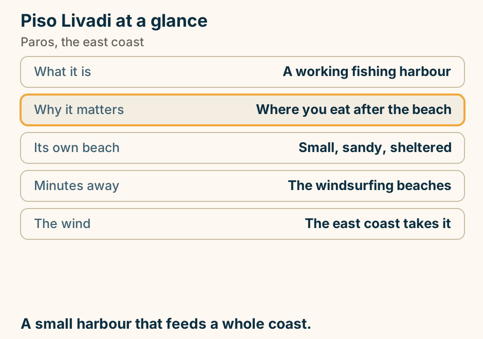
Santa Maria at a glance. What it is: A run of sandy coves. Main cove: Beach bars and watersports. Wind: Catches the meltemi. Reaching it: Road, or boat from Naoussa. Calm hours: Morning. Walk a few minutes and the crowd disappears. Explained on Santa Maria: a run of coves round the north-east corner. SVG · CC BY 4.0.
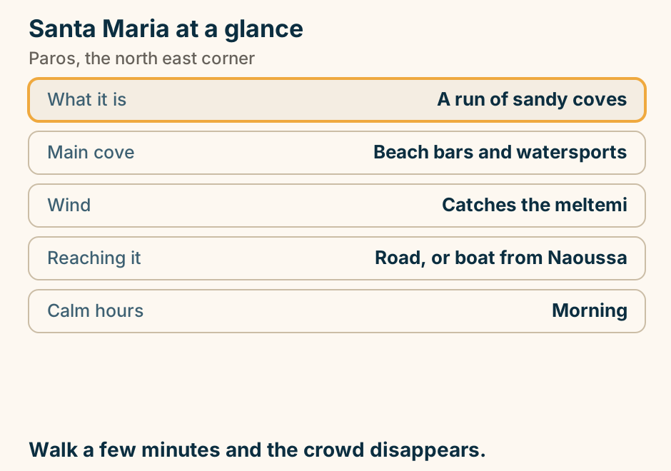
The Ekatontapiliani at a glance. What it is: A Byzantine church complex. The name: A hundred doors. Rarest piece: An early baptistery. Also inside: A small Byzantine museum. Allow: About half an hour. A working church. Cover shoulders and knees. Explained on Ekatontapiliani: the church of a hundred doors. SVG · CC BY 4.0.
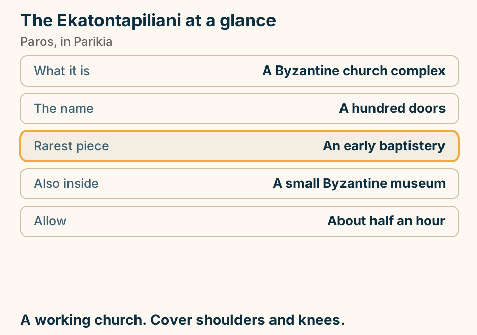
Where to stay in Paros: pick your base. A list of choices for where to stay in Paros. If you want ferries, buses and value, stay in Parikia. If you want the prettiest harbour and dining, stay in Naoussa. If you want quiet family days, stay in Alyki. If you want windsurfing, stay in Golden Beach. If you want the mountain village, stay in Lefkes. Parikia for logistics, Naoussa for looks. Explained on Where to stay in Paros. SVG · CC BY 4.0.
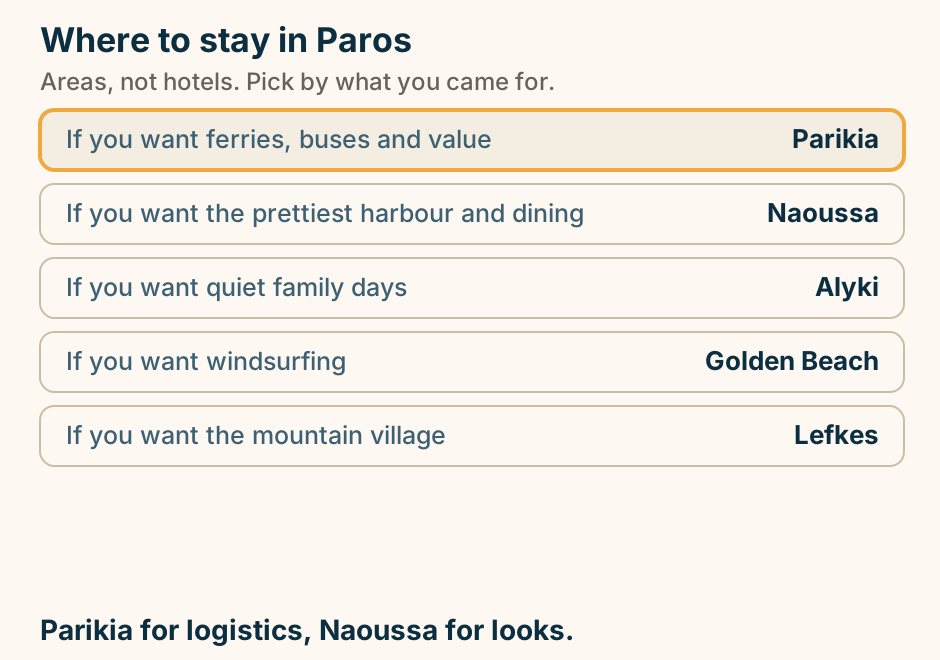
Patmos
Patmos has no airport, so every route to it ends on a ferry. A schematic access map. Patmos sits in the Dodecanese off the west coast of Turkey, and five gateways are arrowed toward it. Piraeus, the port of Athens, lies far to the west and is joined by an overnight ferry. Samos to the north and Leros to the south each have a smaller airport. Kos to the south east has an international airport. Rhodes, further out, is joined by the Dodecanese line ferry. Every arrow ends on the island, and none of them is a flight. Explained on Patmos: the Greek island of Revelation. SVG · CC BY 4.0.
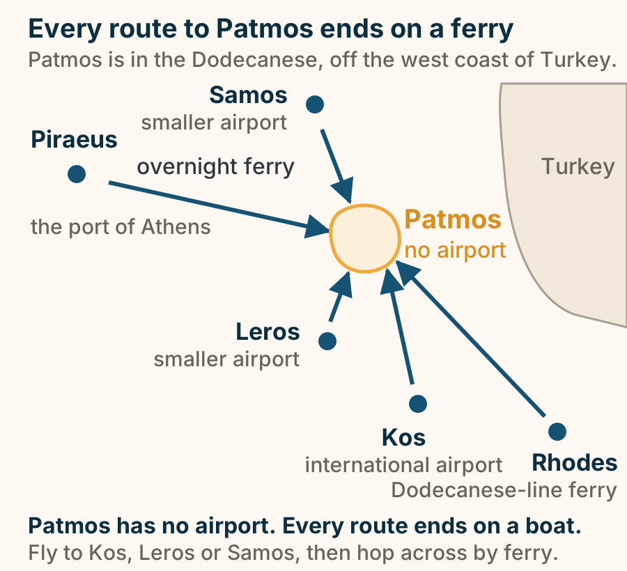
The Cave of the Apocalypse at a glance. What it is: A small rock grotto. Tradition holds: John received the visions here. This page: Reports the tradition as one. Listed with: The monastery, as one site. Plan around: The opening schedule. A small grotto. Plan the day around the opening schedule. Explained on The Cave of the Apocalypse: a grotto, and what tradition holds. SVG · CC BY 4.0.
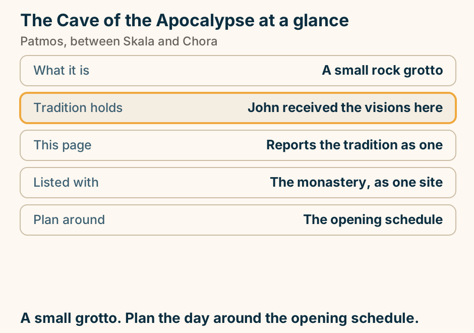
The Cave of the Apocalypse is halfway up the road, not at the monastery. A schematic side view of Patmos with the sea on the left and the hill rising to the right. Skala, the port, sits at the water. A single road climbs from it. Roughly halfway up that road is the Cave of the Apocalypse, marked as the thing visitors most often misplace. At the top of the hill are Chora and the Monastery of Saint John the Theologian. Off to the side lie two quieter bases: Grikos, a calm bay on the south coast, and Kampos, a beach village in the north. The three headline sites are strung along one climb rather than gathered in one place. Explained on Patmos: the Greek island of Revelation. SVG · CC BY 4.0.
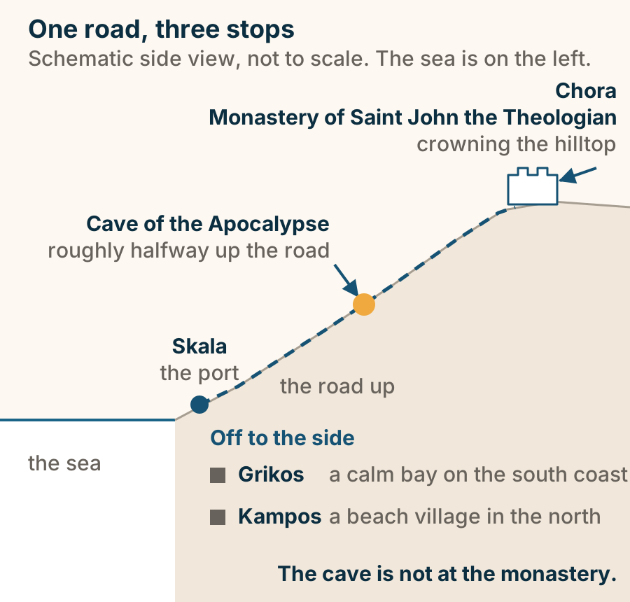
The Monastery of Saint John at a glance. What it is: A fortified monastery. Position: Crowning the hill town. The site is: Monastery, cave and Chora. Governs your day: The opening schedule. Why it stays quiet: No airport. One UNESCO site in three parts. Check the days. Explained on The Monastery of Saint John: the house above Chora. SVG · CC BY 4.0.
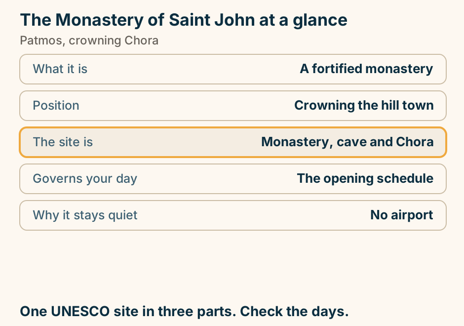
Paxos
Paxos has no airport, so every arrival is by boat, usually through Corfu. An orientation schematic of how you reach Paxos. Corfu sits at the top with a plane glyph for Corfu International Airport, and boats leave from Corfu Town or Lefkimmi. On the mainland side, Igoumenitsa on the Epirus coast is the other scheduled gateway. A solid boat arrow runs from each of those two to Paxos and its main port, Gaios. Parga is drawn separately with a dashed arrow and marked “day cruises, not a ferry”, because what runs from Parga is an excursion boat rather than a scheduled crossing you can arrive on. Antipaxos lies a short hop below Paxos. Fly to Corfu, then cross by boat. Explained on Paxos travel guide. SVG · CC BY 4.0.
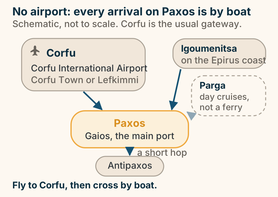
Rhodes
Ancient Kamiros at a glance. What it is: An excavated ancient town. What survives: Streets, houses, cisterns. Rare here: A public water system. Crowds: Few, even in season. Allow: About an hour. A town plan you can walk, not a temple to imagine. Explained on Ancient Kamiros: an ordinary Greek town, excavated. SVG · CC BY 4.0.
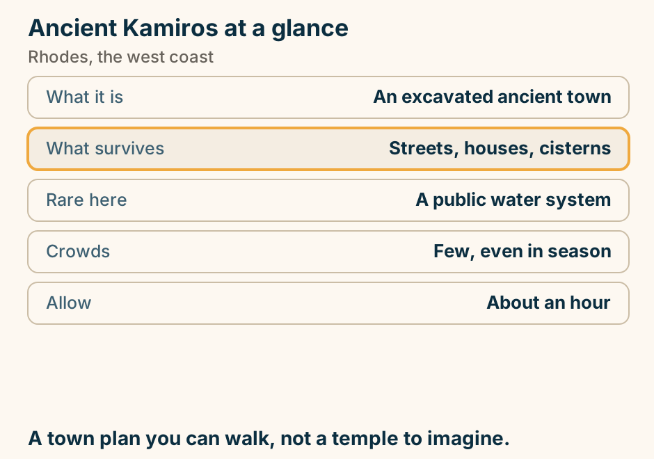
Athens to Rhodes: about an hour by air, 13 to 17 hours by sea. From Athens it is about an hour by air to Rhodes. The alternative is an overnight Blue Star ferry from Piraeus taking roughly 13 to 17 hours. There is no high-speed catamaran on the direct route. Explained on Island of Rhodes travel guide. SVG · CC BY 4.0.
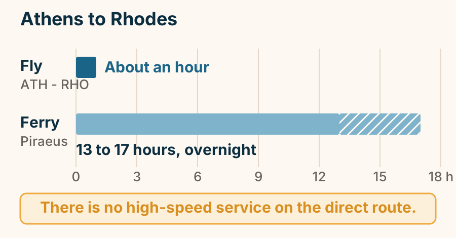
Epta Piges at a glance. What it is: A shaded valley of springs. The feature: A narrow water tunnel. The tunnel: Unlit, ankle deep. Alternative: A path over the hill. Also there: A lake and peacocks. The tunnel is dark and wet. There is a path over it. Explained on Epta Piges: a cool valley, and a tunnel you wade. SVG · CC BY 4.0.
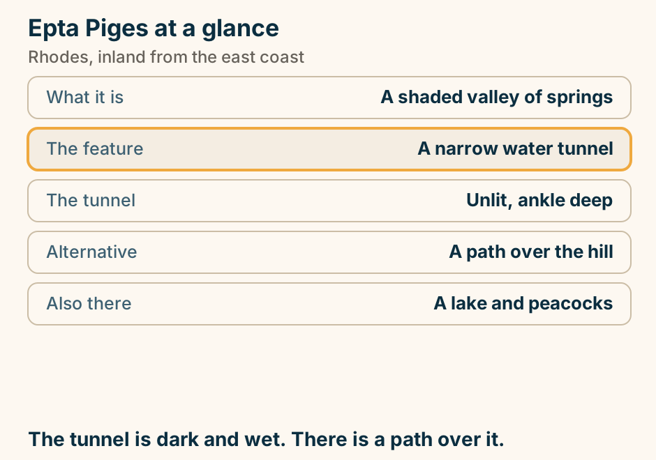
Faliraki at a glance. What it is: The island’s big resort beach. Behind it: A nightlife strip. Shore: Wide shallow sand. Quieter end: South, towards the headland. Reaching it: Frequent buses. Walk south and the volume drops away. Explained on Faliraki: the island’s package coast, and its quieter end. SVG · CC BY 4.0.
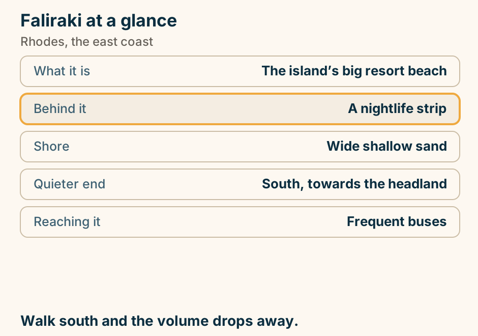
Kallithea Springs at a glance. What it is: A restored spa complex. Built under: The Italian administration. Swimming: Off rock and ladders. Entry: Ticketed site. Allow: Half a day with a swim. A monument you swim at, not a beach with a ticket. Explained on Kallithea Springs: an Italian spa turned swimming spot. SVG · CC BY 4.0.
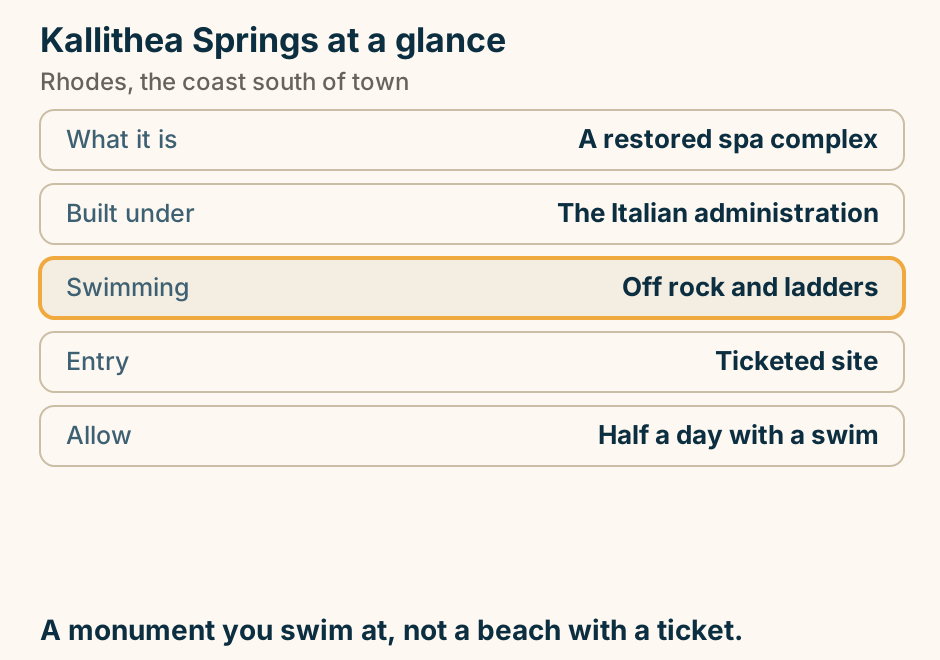
Monolithos castle at a glance. What it is: A Knights’ outpost on a crag. Entry: Open and unticketed. Inside: A whitewashed chapel. The climb: Short, steep, polished rock. From town: About 90 minutes. No railings, long drops. Hold on to small children. Explained on Monolithos: a Knights’ castle on a rock with no railings. SVG · CC BY 4.0.
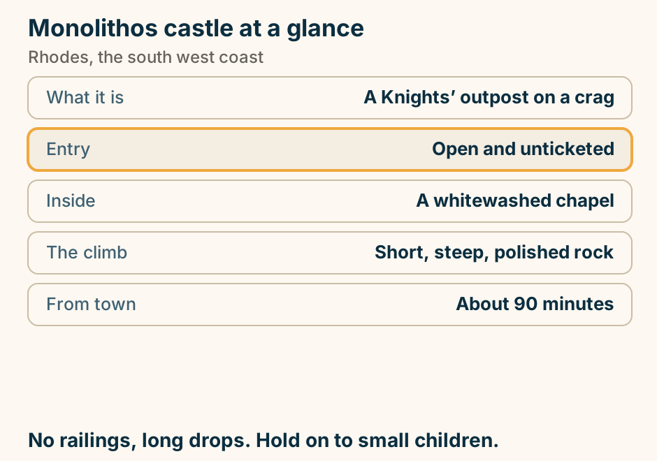
Prasonisi at a glance. What it is: A sandbar to an islet. Either side: Flat water and swell. Known for: Kite and windsurfing. In winter: The sea covers the bar. Distance: About 90 min from town. Two seas, one sandbar, and the wind decides the day. Explained on Prasonisi: the sandbar where two seas meet. SVG · CC BY 4.0.
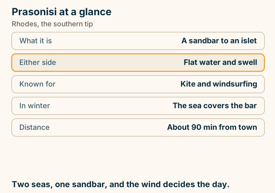
Rhodes Old Town: a walled city people live in, and the wall that splits it in two. A schematic plan of the walled Medieval Town of Rhodes, not to scale. The sea and the harbour lie across the top, with the port outside the walls. The walled town wraps around the harbour. One interior wall and moat divide it: above sits the Collachio, the Knights’ quarter, holding the Palace and the cathedral, with the Street of the Knights running between them and the inns of the tongues along it. Below sits the borgo, where most civilians lived and still do. Two gates in the outer wall, the Amboise Gate and the Liberty Gate, are where the car stops and you walk in. Walking in is free, says the Hellenic Ministry of Culture. You are not buying entry to a site: you are walking into a town. Explained on Rhodes Old Town: free to walk, and the buildings that are not. SVG · CC BY 4.0.
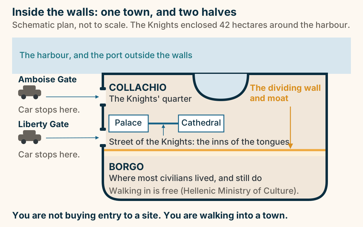
St Paul’s Bay at a glance. What it is: An almost enclosed cove. Why it is calm: Rock nearly closes the mouth. Shore: Shingle and rock, no sand. Getting down: Steps, or a walk from Lindos. On the shore: A small white chapel. Go early. The flat shore is taken by mid morning. Explained on St Paul’s Bay: an almost-closed circle of water under Lindos. SVG · CC BY 4.0.
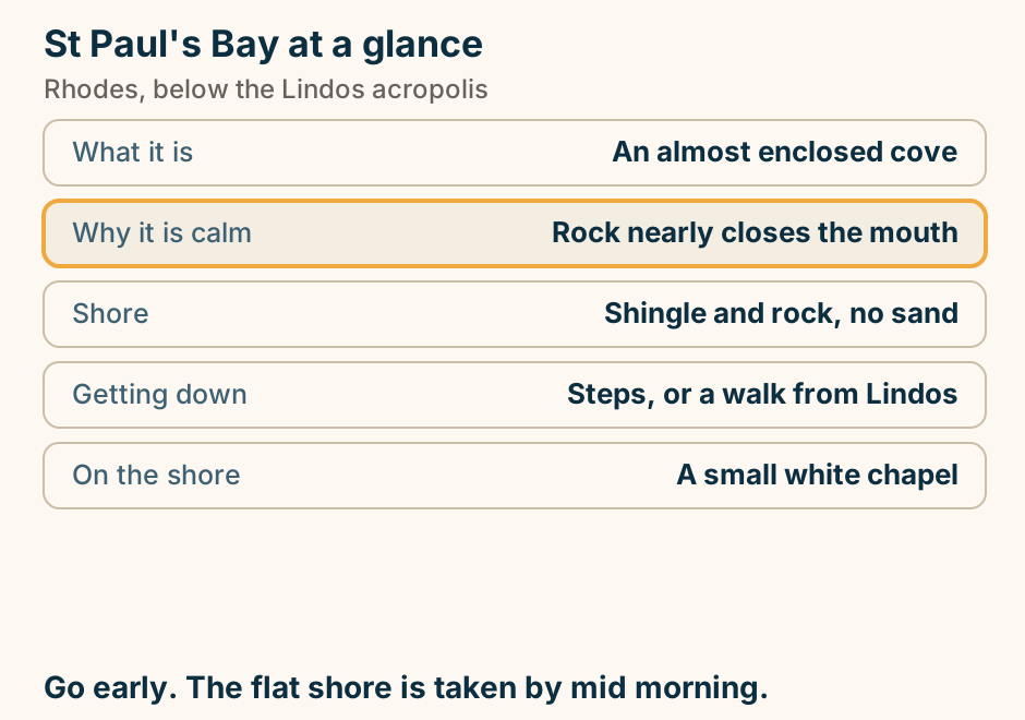
The Palace of the Grand Master at a glance. Built by: The Knights Hospitaller. What stands: Largely a reconstruction. The floors: Ancient mosaics from Kos. Approach: Up the Street of the Knights. Allow: An hour to 90 minutes. Medieval outside, later inside. Both are worth knowing. Explained on The Palace of the Grand Master: medieval outside, 1930s inside. SVG · CC BY 4.0.
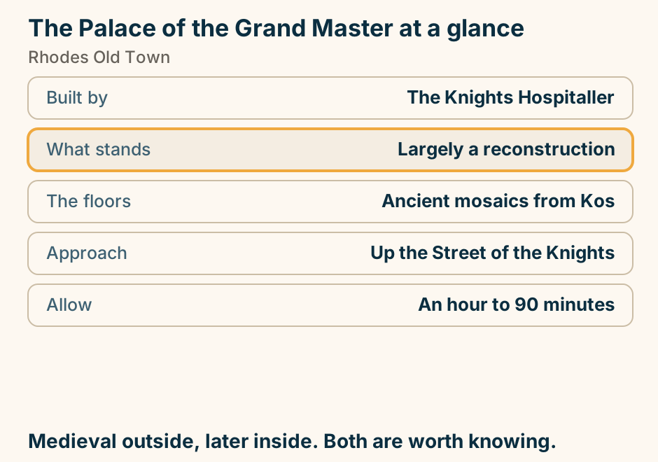
The Valley of the Butterflies at a glance. What it is: A shaded gorge with moths. They are: Jersey tiger moths. Season: The high summer weeks. The walk: Boardwalks, about an hour. Out of season: A cool gorge, no moths. Do not clap or shake branches. They cannot refuel. Explained on The Valley of the Butterflies: a gorge, and a narrow season. SVG · CC BY 4.0.
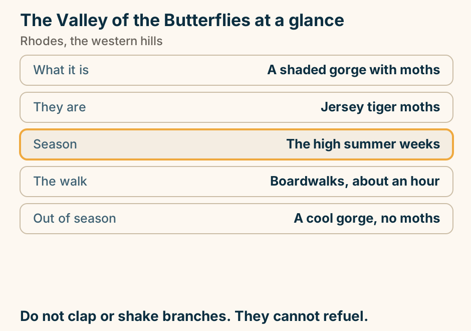
Tsambika beach at a glance. Shore: Soft sand, rare here. Entry: Shallow, a long way out. Above it: A monastery on the rock. The climb: Several hundred steps. Organised: Fully, with parking. The sandiest bay on this coast. The steps are optional. Explained on Tsambika: the sandiest bay on the Rhodes east coast. SVG · CC BY 4.0.
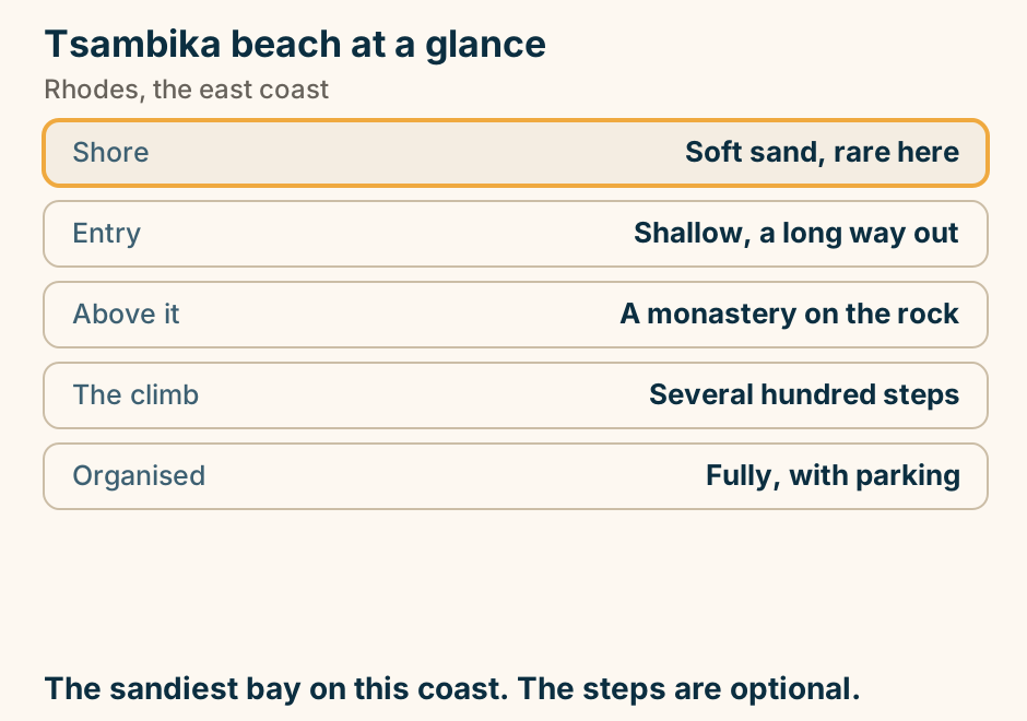
Where the noise is on Rhodes, and where it is not. Rhodes is a long island and its nightlife is concentrated, not spread. Rhodes Town sits at the northern tip and has two separate evenings: the New Town, with a street of bars aimed at a young crowd, and the walled Old Town, which is quieter and older. Faliraki lies about 13 kilometres down the east coast and is the loud one, a resort strip aimed at an 18 to 30 crowd. Lindos is about 47 kilometres from Rhodes Town, near the far end of the island, and its evenings are rooftop bars and dinner rather than clubs. Between and beyond these three there is coast with no nightlife scene to speak of. Choosing where to sleep on Rhodes is therefore choosing which of these evenings you get, and the distances mean you cannot casually change your mind at one in the morning. Explained on Rhodes nightlife: where it is, and where it isn’t. SVG · CC BY 4.0.
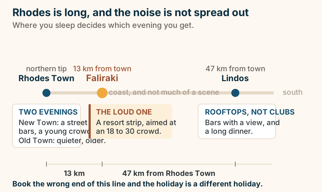
Where to stay in Rhodes: pick your base. A list of choices for where to stay in Rhodes. If you want history and atmosphere, stay in The Old Town. If you want the postcard village, stay in Lindos. If you want a beach resort and nightlife, stay in Faliraki. If you want windsurfing, stay in Ixia or Ialyssos. If you want quieter family beaches, stay in Pefkos or Lardos. The Old Town has no beach. Decide that first. Explained on Where to stay in Rhodes. SVG · CC BY 4.0.
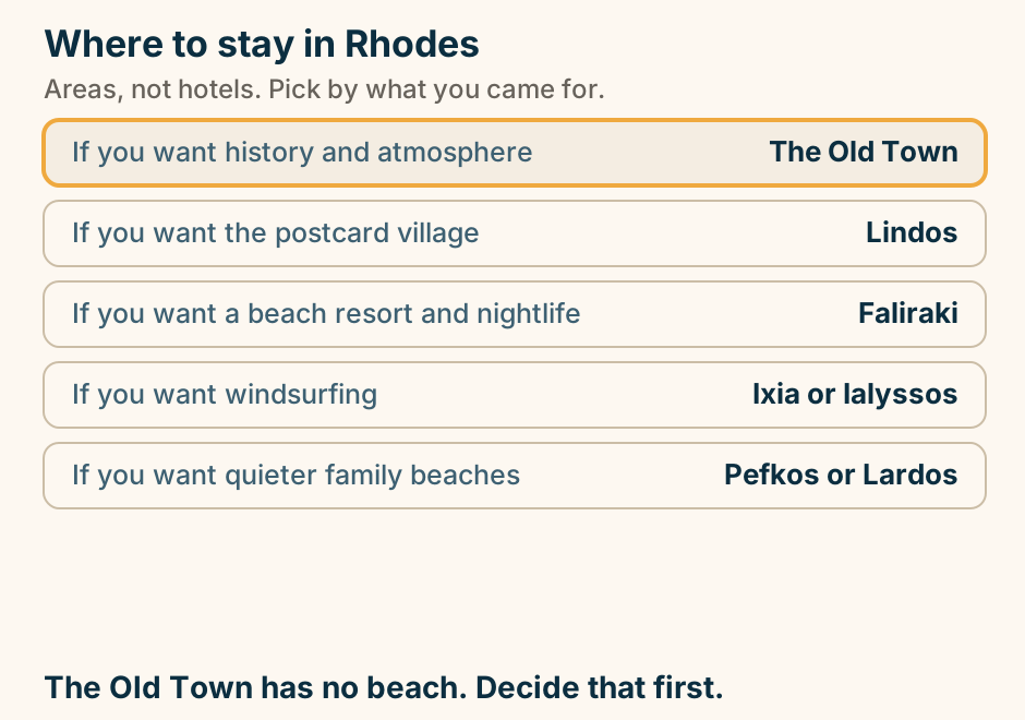
Samos
Potami at a glance. What it is: Waterfalls, not a beach. The walk: Short and shaded, up a stream. At the top: Pools you can swim in. We give: No walk time or depth. You want: A car for this. Shade and fresh water. Very few islands offer it. Explained on Potami: the freshwater alternative to a beach day. SVG · CC BY 4.0.
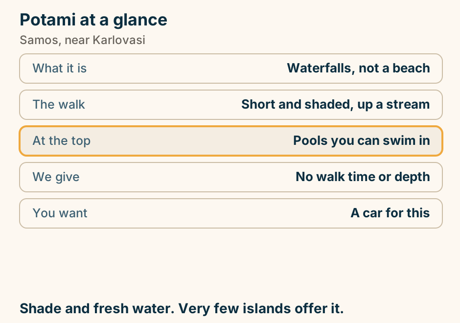
Pythagorio at a glance. What it is: An ancient fortified port. The thing to see: The Eupalinian aqueduct. What that is: A tunnel dug from both ends. On top: A working harbour town. Listed with: The Heraion, as one site. A modern town on an ancient port, over a tunnel. Explained on Pythagorio: a modern town on an ancient port, and a tunnel. SVG · CC BY 4.0.
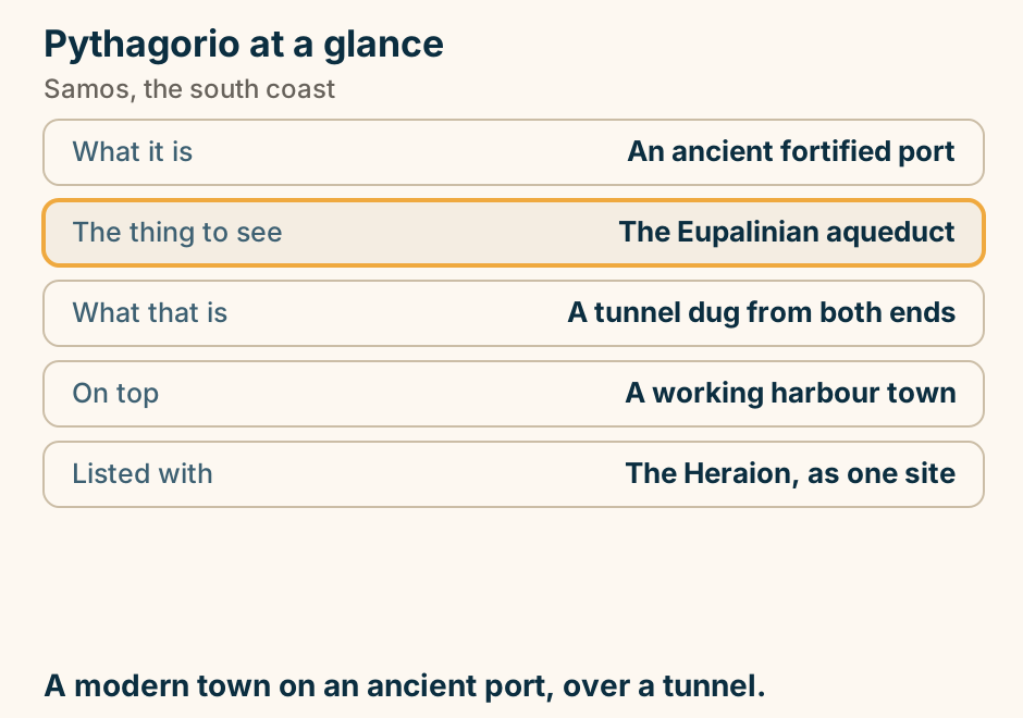
Samos has three ports that are not interchangeable, and Turkey across the strait. An outline of Samos running east to west, with high ground drawn as peaks: Mount Kerkis in the west and the Ampelos, also called Karvounis, range through the centre. Karlovasi is a port on the north west coast and Vathy, also called Samos Town, is a port on the north east. Pythagorio is the third port, on the south coast, with the airport beside it. On the east a short crossing runs over the strait to Kusadasi on the Turkish coast, and Ephesus lies a short way inland from there. Explained on Samos travel guide. SVG · CC BY 4.0.
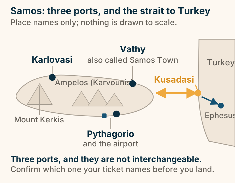
The Heraion of Samos at a glance. What it is: A sanctuary of Hera. Standing now: One column, and foundations. The scale: Read from the ground plan. Listed with: Pythagoreion, as one site. Shade: Little of it. Set expectations first. Then it is worth the drive. Explained on The Heraion of Samos: one column, and foundation courses. SVG · CC BY 4.0.
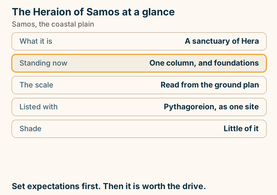
Santorini
A west to east cross-section of Santorini. Santorini is the rim of a drowned volcano. On the west the caldera cliff drops straight into the flooded crater, and the rim villages of Fira, Firostefani, Imerovigli and Oia sit along the top, facing the sunset. Behind the rim the land slopes gently east across the vineyards and older villages of the interior to the black sand beaches at Kamari and Perissa, which face the sunrise. Explained on Santorini travel guide. SVG · CC BY 4.0.
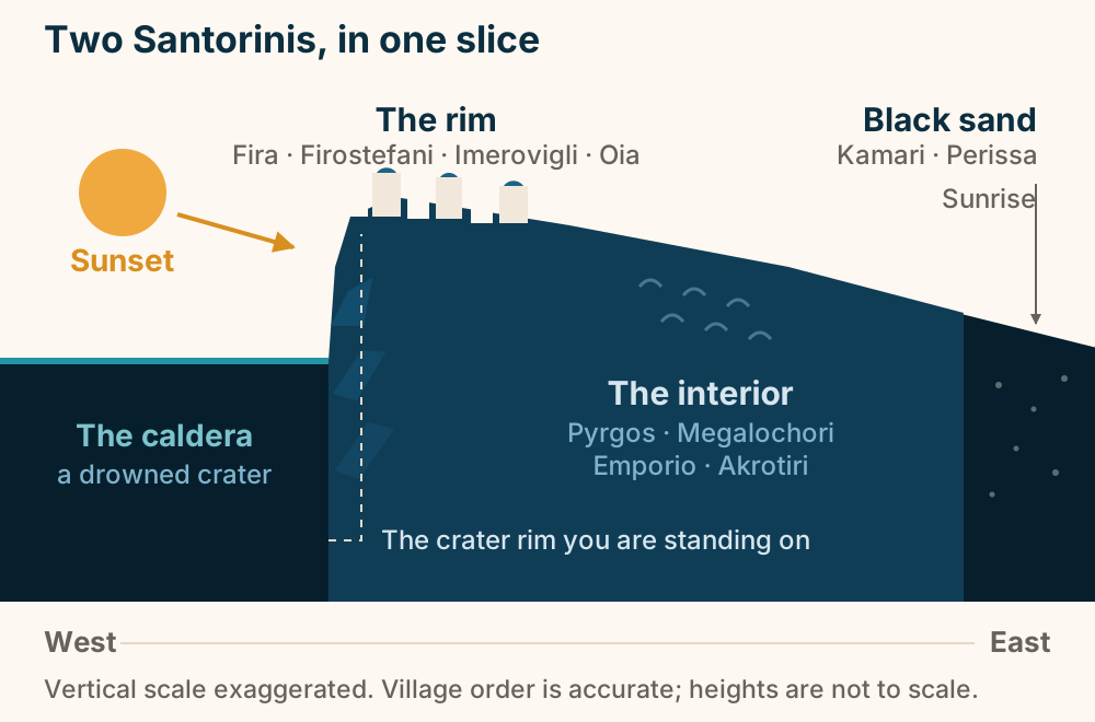
Akrotiri is a Bronze Age town under a roof, and you walk it indoors. A schematic cross-section of the archaeological site of Akrotiri on Santorini, not to scale. At the bottom, two and three-storey Bronze Age houses stand either side of a street, with drains running beneath the street. Volcanic ash banks up against the excavation on both sides: it is what buried the town and what preserved it. Above the buildings, a raised walkway crosses the site with two visitors on it. Spanning everything, on its columns, is the bioclimatic shelter that keeps the site in shade and moving air. Akrotiri is a Bronze Age town, and you visit it indoors. Explained on Akrotiri, Santorini: the town under the roof. SVG · CC BY 4.0.
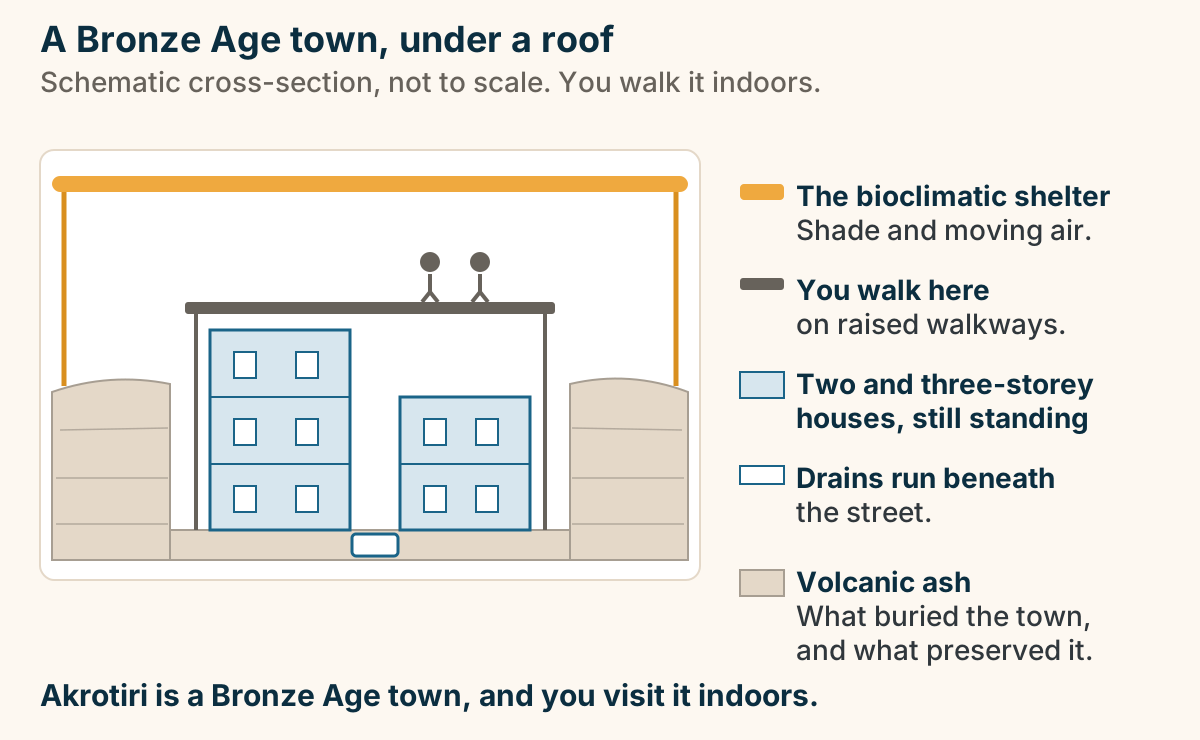
Ancient Thera at a glance. What it is: A Hellenistic and Roman town. Not: Bronze Age, unlike Akrotiri. The setting: A ridge above two coasts. Getting up: Switchbacks from Kamari. Allow: An hour to 90 minutes. Go early. The ridge has no shade and real wind. Explained on Ancient Thera: the city on the ridge above Kamari. SVG · CC BY 4.0.
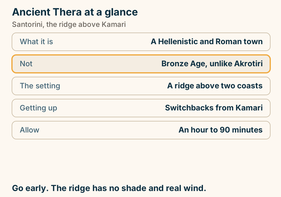
Athens to Santorini: flight and ferry times compared. Chart comparing Athens to Santorini by plane, high-speed ferry and conventional ferry. The flight takes about 45 to 50 minutes of air time, excluding airport transfers at both ends. The high-speed ferry from Piraeus takes about 5 hours to Athinios port. The conventional ferry takes about 7.5 to 8 hours. Explained on Santorini travel guide. SVG · CC BY 4.0.
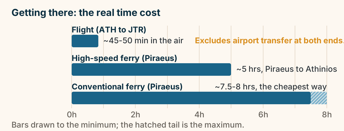
Emporio at a glance. What it is: The largest southern village. At its centre: A medieval kastelli. The defence: The outer houses were the wall. Above it: A tower and windmills. Allow: About half an hour. Go in and get lost. That is the whole visit. Explained on Emporio: a village whose outer houses were the wall. SVG · CC BY 4.0.
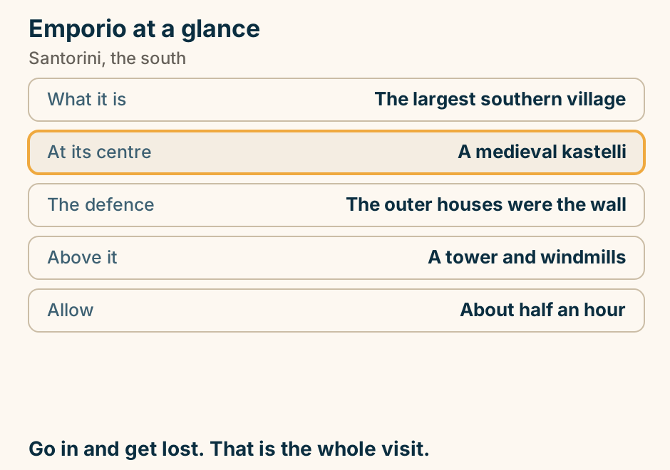
Firostefani at a glance. What it is: The rim north of Fira. Why choose it: The view without the crush. The walk: Fira south, Imerovigli north. The landmark: A blue-domed church. Luggage: The rim path is steps. The same view as Fira, ten minutes quieter. Explained on Firostefani: the caldera view without the caldera crowd. SVG · CC BY 4.0.
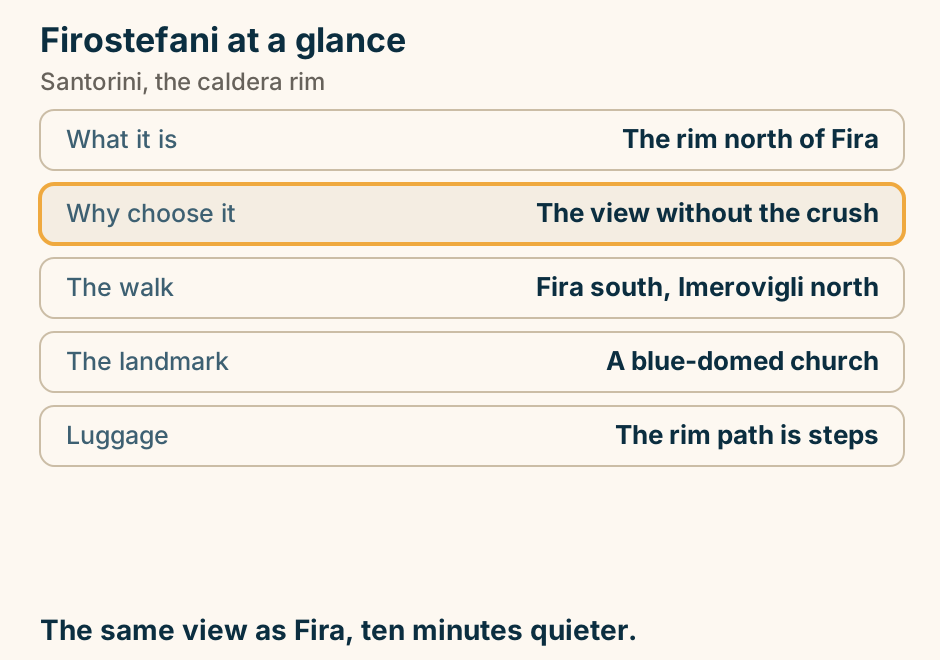
Imerovigli at a glance. What it is: The rim’s highest village. Height: About 300 m above the sea. The walk: Skaros Rock, about an hour. Nightlife: None to speak of. Reaching it: Bus or 20 min walk from Fira. The view and the Skaros walk. Not an evening out. Explained on Imerovigli: the quiet high point of the caldera rim. SVG · CC BY 4.0.
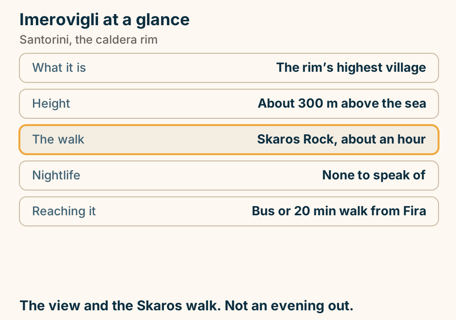
Kamari beach at a glance. Shore: Black volcanic sand. Entry: Shelves quickly. Shade: Sunbed rows only. Organised: Fully, with a promenade. Reaching it: Bus from Fira. Dark sand holds heat. Take something for your feet. Explained on Kamari beach: black sand under a mountain. SVG · CC BY 4.0.
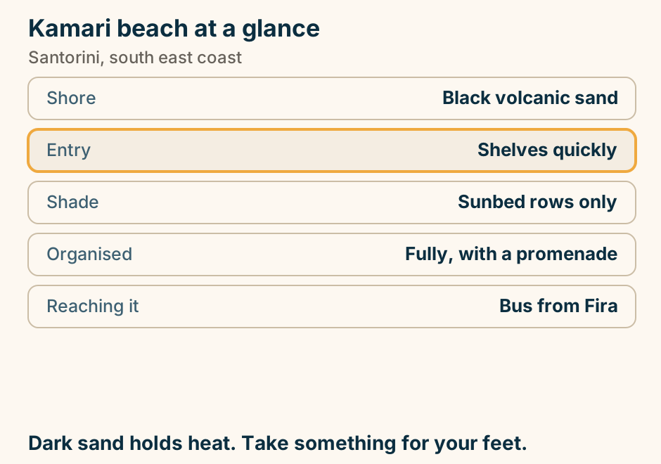
Megalochori at a glance. What it is: A quiet wine village. The lanes: Vaulted, with cave houses. Around it: The island’s wineries. The grape: Assyrtiko, in basket vines. Allow: An hour with coffee. No caldera view, and that is why it is quiet. Explained on Megalochori: a wine village that skipped the boom. SVG · CC BY 4.0.
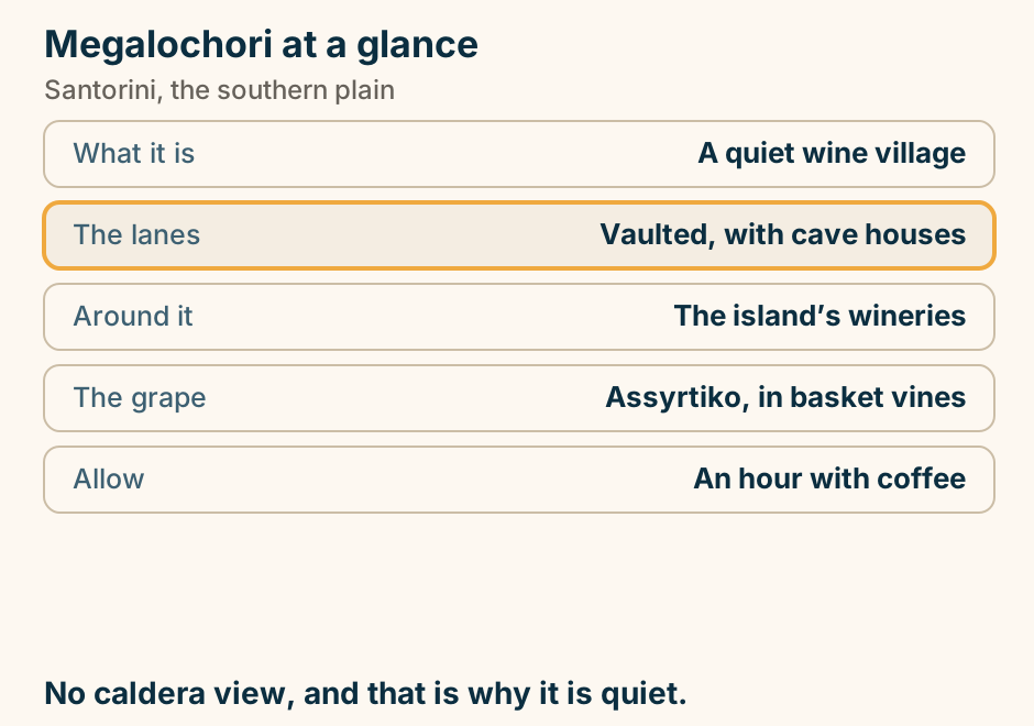
Nea Kameni at a glance. What it is: The youngest land in the Aegean. The walk: Half an hour up, no shade. On top: Craters that still vent. Usually with: The Palea Kameni springs. Stopped by: Strong wind. A hot uphill walk on black gravel. Take water. Explained on Nea Kameni: walking on the youngest land in the Aegean. SVG · CC BY 4.0.
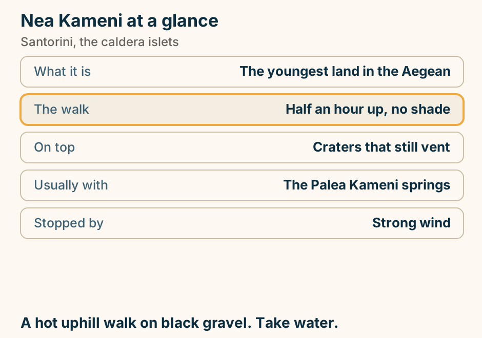
Perivolos beach at a glance. Shore: Black volcanic sand. Entry: Shelves gradually. The offer: Beach bars and loungers. Shade: Rented, not found. Runs into: Perissa, one long strip. Black sand holds heat. Sandals matter here. Explained on Perivolos: the beach-bar half of Santorini’s long black strip. SVG · CC BY 4.0.
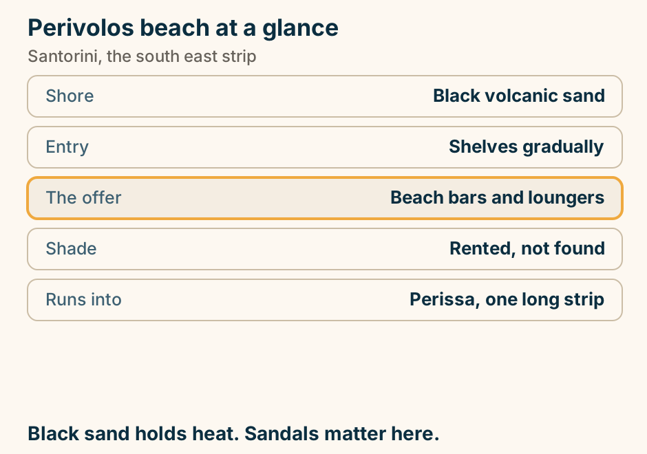
Pyrgos at a glance. What it is: The old island capital. Village type: A fortified kastelli. The view: Both coasts at once. Allow: An afternoon. Reaching it: Bus or 15 min drive from Fira. The whole island in one turn, and almost no one there. Explained on Pyrgos: the old capital, and the view nobody queues for. SVG · CC BY 4.0.
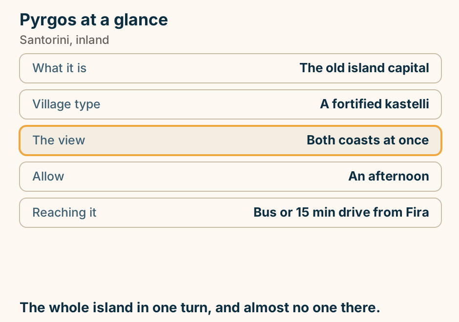
The Akrotiri lighthouse at a glance. What it is: A working navigation light. Inside: Closed to visitors. The draw: Sunset over open water. Facilities: None at all. From Fira: About 40 minutes. Sunset over open sea, with room to stand. Explained on Akrotiri lighthouse: the sunset without the scrum. SVG · CC BY 4.0.
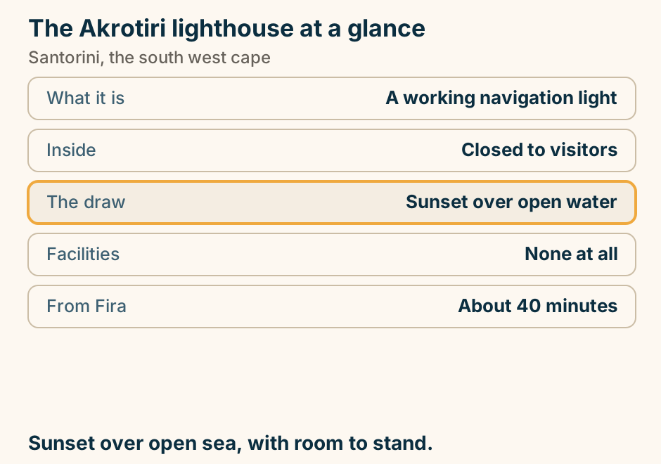
The Museum of Prehistoric Thera at a glance. What it holds: The Akrotiri frescoes. Also: A gold ibex figurine. Allow: About an hour. Often on: The same site ticket. Best hour: The middle of the day. Akrotiri gives you the rooms. This gives you what was in them. Explained on The Museum of Prehistoric Thera: Akrotiri’s missing half. SVG · CC BY 4.0.
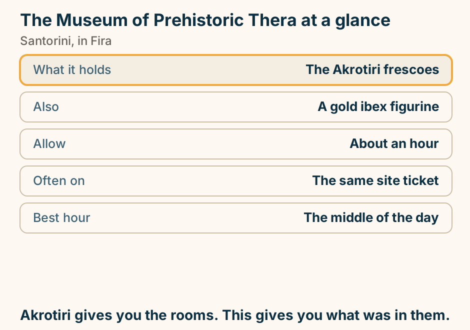
Thirassia at a glance. What it is: The inhabited caldera island. Getting there: Excursion or local ferry. The village: Manolas, on the cliff. The climb: Steps or the road. Facilities: A handful of tavernas. Santorini before the boom, and nothing to do. Explained on Thirassia: Santorini before Santorini happened. SVG · CC BY 4.0.
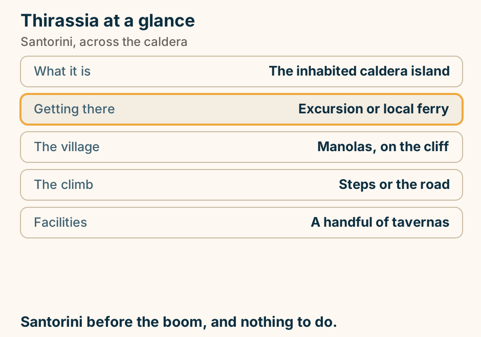
Vlychada beach at a glance. Shore: Grey sand and pebble. Behind it: Wind-carved pale cliffs. Facilities: Few, and a marina. Crowds: The quietest organised coast. Reaching it: Car, across the flat side. The cliffs are the reason. Bring your own shade. Explained on Vlychada: the beach under the carved cliffs. SVG · CC BY 4.0.
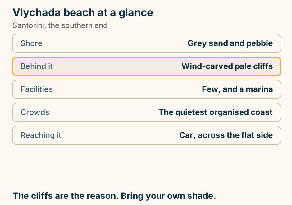
Where the night is on Santorini, and how much of the island is not in it. Santorini drawn as a crescent with the caldera bitten out of its west side. Fira sits on the caldera rim and is the one place marked as the island’s night out: caldera-rim bars, the lanes behind them, and the only real clubs. Oia is a hollow marker at the northern tip, with a sunset, a long dinner and one real bar. On the south-east coast a beach-bar band runs along Perivolos and Perissa, where the bars start on a sunbed and drift into the evening, and Kamari sits above it with quieter beachfront bars and tavernas. The rest of the island is drawn in a quiet tone: villages, wineries, dinner and an early finish. The island is small, the night is small, and all of the night out is in one town. Explained on Santorini nightlife: what the evenings actually are. SVG · CC BY 4.0.
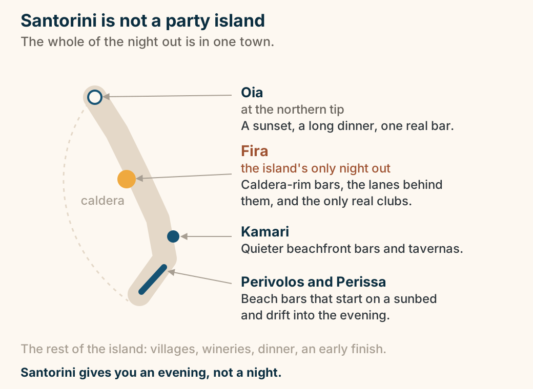
Where the sunset crowd stands in Oia, and the one road it all leaves by. A plan of the western end of Oia. The castle ruins sit on the point and fill first, standing room only. The main walkway runs back along the caldera rim into the village, with the same sun and a thinner crowd. Booked terraces step up behind it. Ammoudi lies at sea level below a stepped path down the cliff. At the eastern end, one road out, which the whole crowd leaves by at the same moment. Explained on Oia Santorini: what the sunset is really like. SVG · CC BY 4.0.
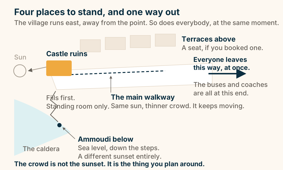
Where to stay in Santorini: four zones compared. Four places to stay in Santorini compared. Fira has the caldera view and the transport links and is the article’s pick for a first visit. Oia has the view and the sunset at the highest prices. Firostefani and Imerovigli have the same view with calmer streets. Kamari and Perissa have the beaches and better value but no caldera view. Explained on Santorini travel guide. SVG · CC BY 4.0.
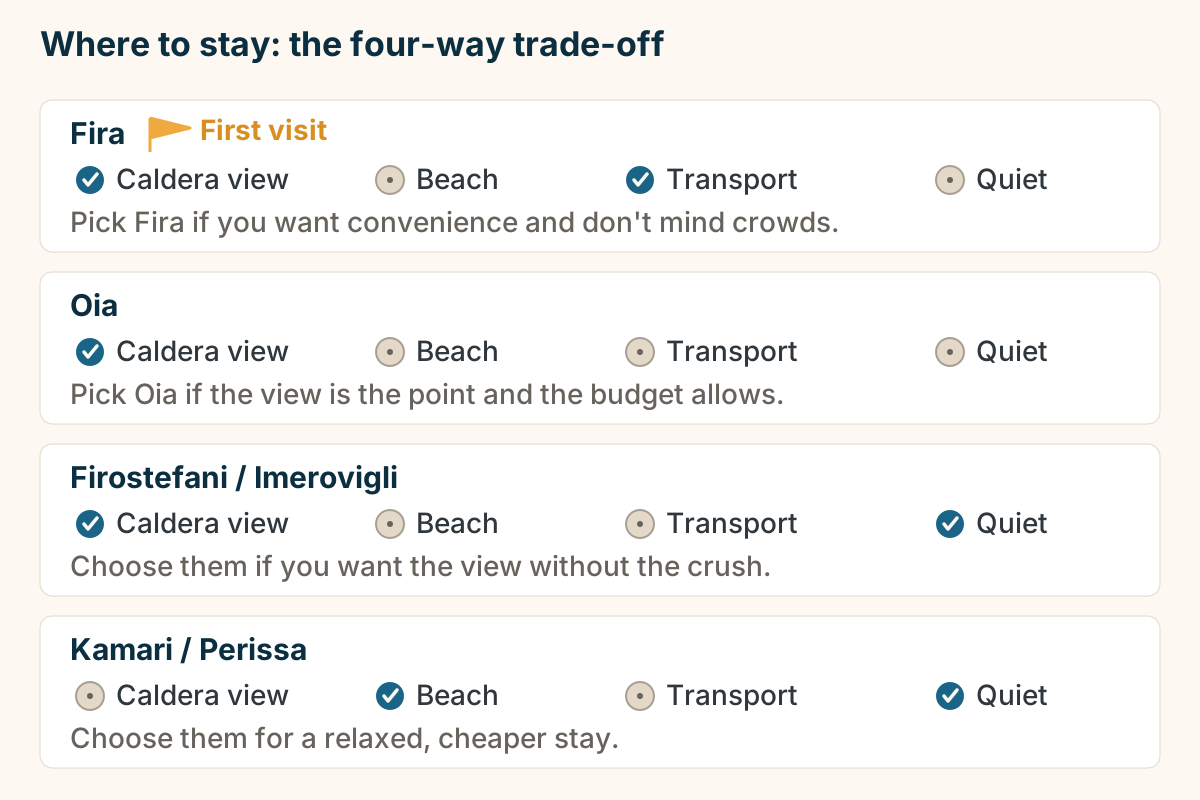
Serifos
Serifos at a glance. The landmark: A chora stacked up a rock. The surprise: Abandoned iron mines. Those remains: Unfenced and unmanaged. Beaches: Many, mostly undeveloped. Shade: Very little anywhere. A chora worth the climb, over an industrial coast. Explained on Serifos: a village stacked up a rock, above an old mining coast. SVG · CC BY 4.0.
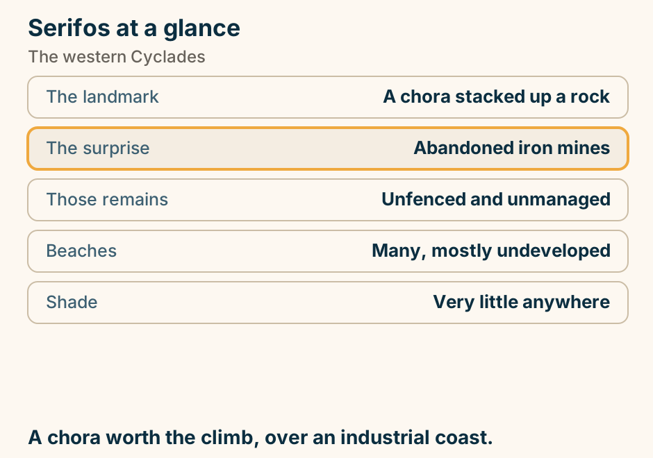
Sifnos
Apollonia at a glance. What it is: The capital, set inland. The street: The Steno, stepped. Along it: The bars and tavernas. Next door: Artemonas, the handsome one. The island is for: Food, and the stone paths. Stay in one village, eat in the other. That is the evening. Explained on Apollonia: the capital, and the street called the Steno. SVG · CC BY 4.0.
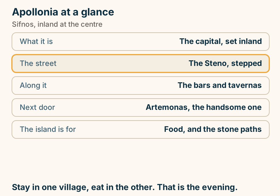
Kastro at a glance. What it is: The old capital. The plan: A ring of houses as defence. Set in the walls: Venetian coats of arms. Below it: A white church on a rock. Go: At both ends of the day. A village that is also a wall. The clearest hour on Sifnos. Explained on Kastro: a village whose outer wall is its houses. SVG · CC BY 4.0.
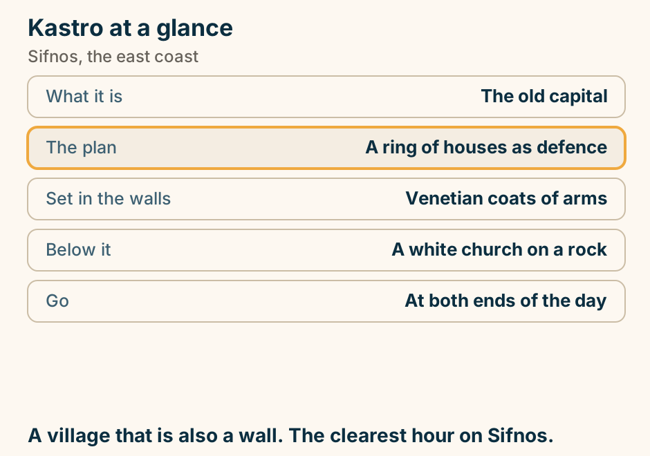
Sifnos at a glance. Known for: Its cooking, first. Then: Pottery, still worked. Unusually: A marked footpath network. The village: Kastro, a ring of houses. Airport: None. Ferry only. People come for dinner and stay for the paths. Explained on Sifnos: cooking, pottery and a footpath network. SVG · CC BY 4.0.
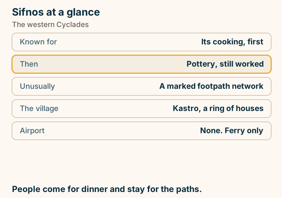
Skiathos
Koukounaries at a glance. What it is: Golden sand and a pine forest. Behind it: A lagoon. Why it works: It faces away from the wind. Check first: Seatrac, before you travel. We give: No Blue Flag count. Sheltered by geography, not by marketing. Explained on Koukounaries: golden sand, a pine forest and a lagoon. SVG · CC BY 4.0.
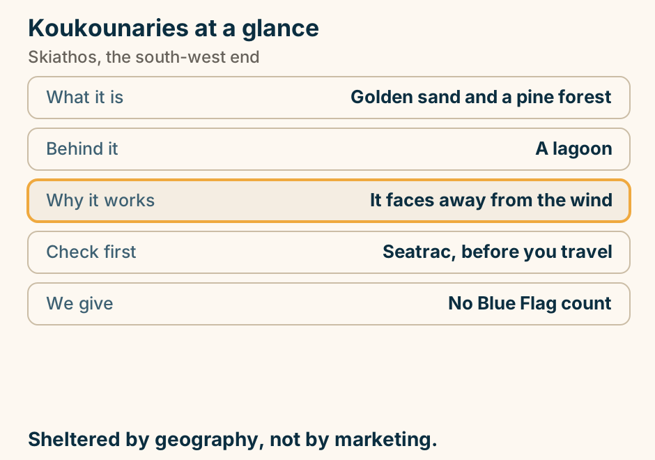
Lalaria at a glance. What it is: White pebbles and a rock arch. Access: By boat only. Why so clean: Nobody can drive to it. Leave: The pebbles where they are. A visit is: A boat stop, not a day. No road is the reason it looks like that. Explained on Lalaria: the postcard, and the catch that is the point of it. SVG · CC BY 4.0.
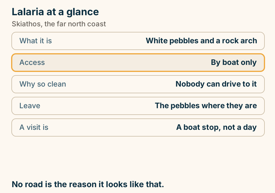
Skiathos splits in two: a bus-served south and a boat-only north. A schematic orientation map of Skiathos, geography only and not to scale. The whole southeast corner holds Skiathos Town and its old port, which is the highlighted point, with the ferry port and the airport close beside it. The south coast, traced in a heavy line, is the sandy, bus-served side, and Koukounaries sits at its western end. The north coast, traced in its own heavy line, is the wild, boat-only side, carrying Lalaria and the Kastro and facing the open sea. Skopelos lies off to the southeast, a boat hop east. No beach count, distance or journey time appears in the drawing. Explained on Skiathos Greece: the beaches, the nightlife, and getting there. SVG · CC BY 4.0.
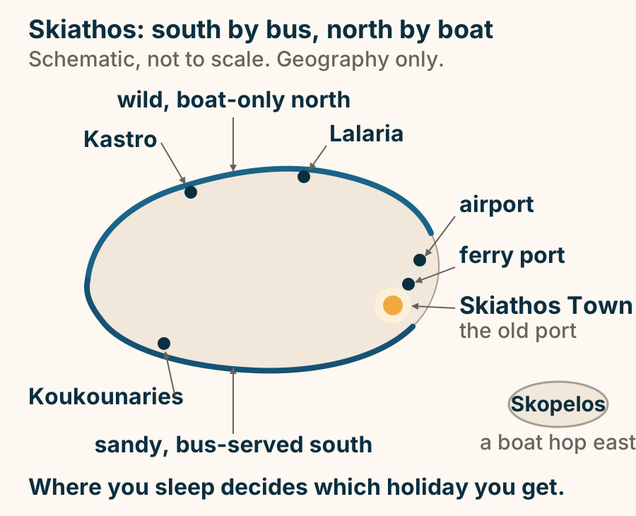
You reach Skiathos by air or from the central mainland, and no other way. An arrival diagram with two paths converging on Skiathos, and a third that does not exist. The air path runs from Athens and from cities across Europe to Skiathos airport, coded JSI, and from there onto the island. The sea path runs from the central mainland, meaning the ports of Volos and Agios Konstantinos, by ferry to Skiathos. Below them a third branch, from Piraeus and the Cyclades, is drawn greyed and crossed out and stops short of the island: there is no ferry from Piraeus, and Skiathos is not a Cyclades island-hop. Explained on Skiathos Greece: the beaches, the nightlife, and getting there. SVG · CC BY 4.0.
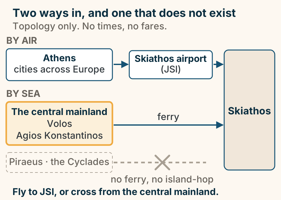
Skopelos
Agios Ioannis sto Kastri at a glance. What it is: A chapel on a rock stack. Getting up: Steps cut into the rock. At the top: A small chapel and a view. Known as: The Mamma Mia chapel. Worth saying: The island mattered before. A staircase up a rock. A chapel and a view at the top. Explained on Agios Ioannis sto Kastri: the chapel on the rock stack. SVG · CC BY 4.0.
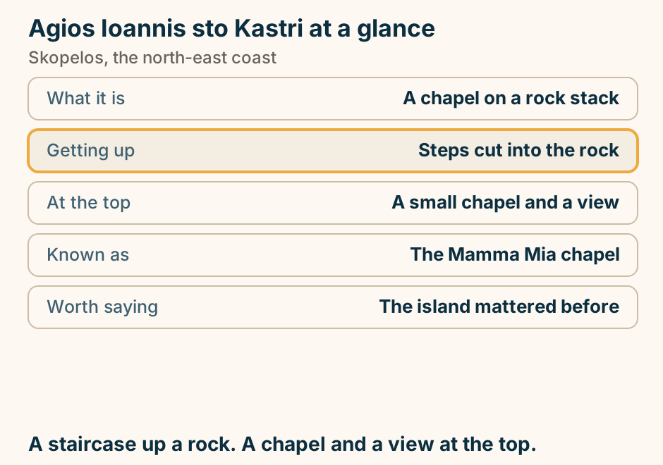
Glossa at a glance. What it is: The second town. Position: Higher, above Loutraki port. Against the main town: The counterweight. The main town has: The crowds, and the kastro. The churches figure: Quoted, never counted. Same island, much less traffic. Explained on Glossa: the quiet end of Skopelos. SVG · CC BY 4.0.
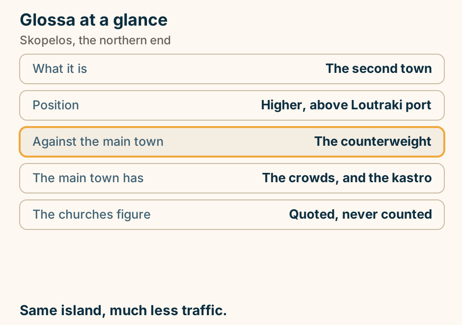
Skopelos at a glance. What it is: The most forested island. The pine: Runs to the waterline. Which means: White pebble, not sand. The famous rock: A chapel up cut steps. Nearest airport: Skiathos, twenty minutes. The greenest island in Greece, and a film set. Explained on Skopelos: pine to the waterline, and a chapel on a rock. SVG · CC BY 4.0.
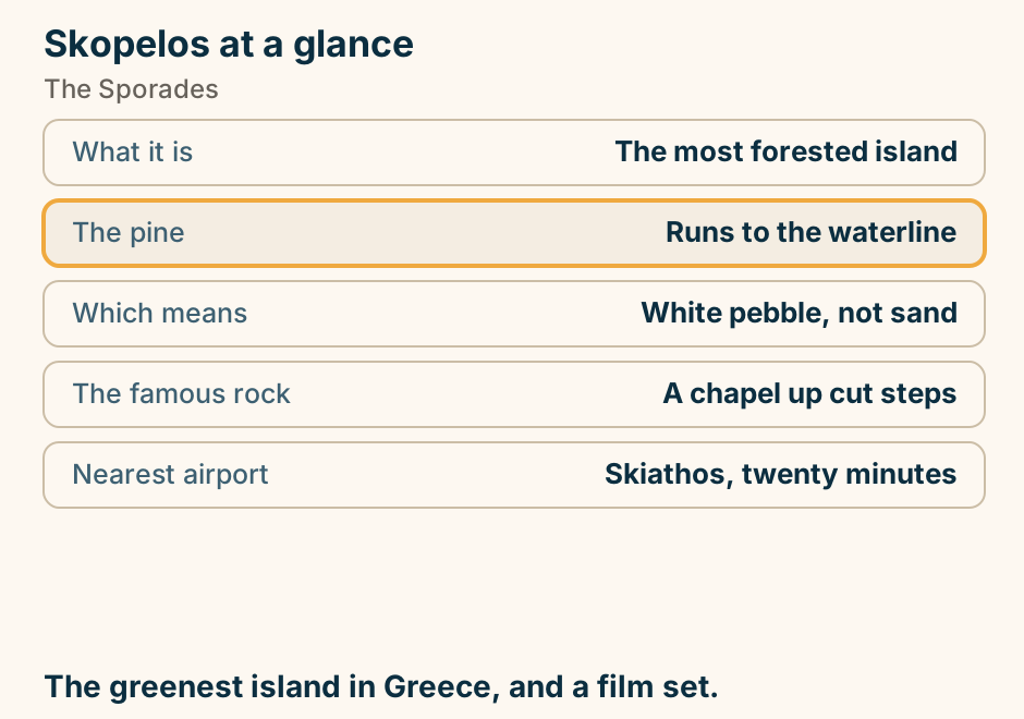
Spetses
Spetses at a glance. What it is: A pine-covered Saronic isle. The difference: Private cars are restricted. The good half: The Old Harbour boatyard. The houses: Built on shipping money. Shore: Pebble, backed by pine. Two hours from Athens, and no traffic. Explained on Spetses: pine, shipowners’ houses and no traffic. SVG · CC BY 4.0.
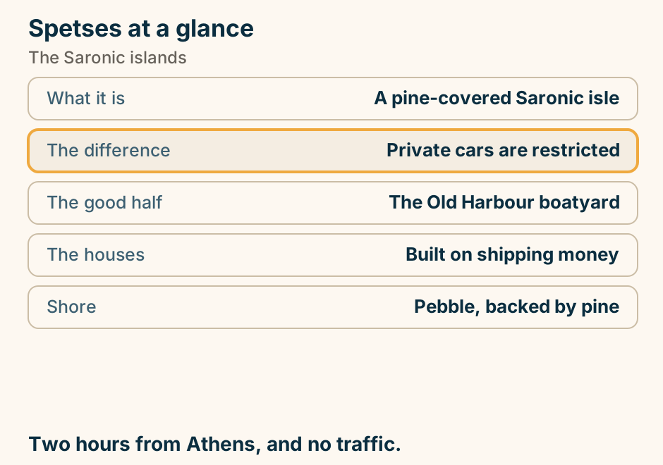
Symi
Nimborio at a glance. What it is: A small pebbly cove. Getting there: On foot from the harbour. The other way: Boat taxi, no fixed timetable. The other walkable: Nos. Expect: Small, not a resort strip. The cove you do not need a boat for. Explained on Nimborio: one of the two you can walk to. SVG · CC BY 4.0.
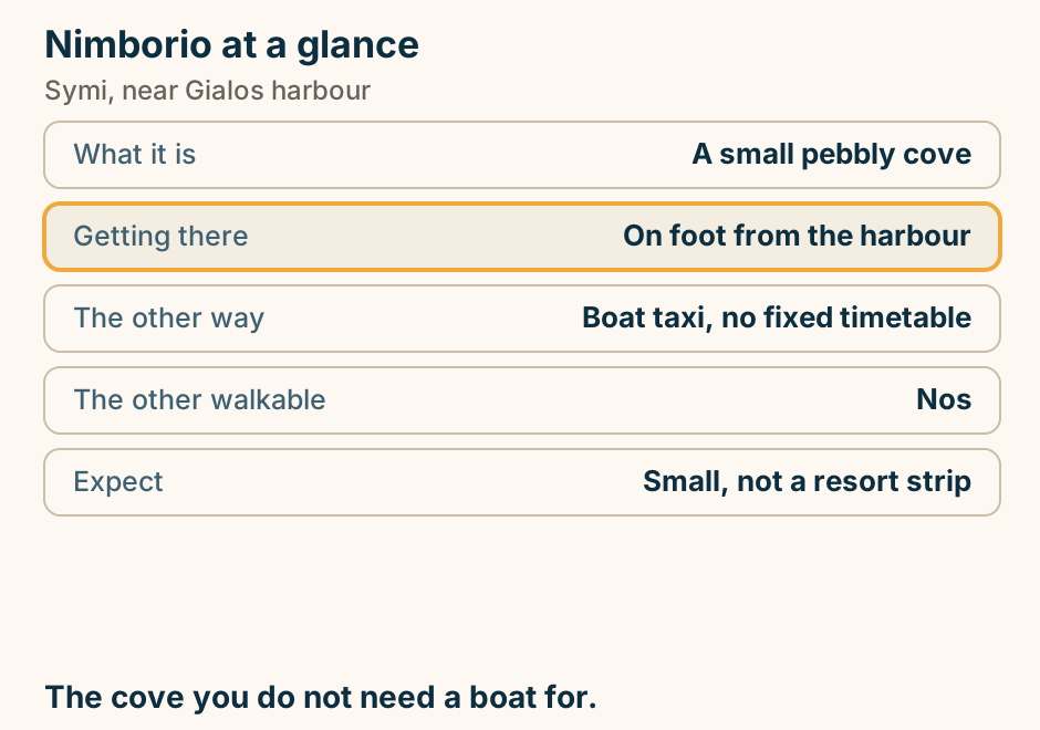
Panormitis at a glance. What it is: A monastery of Saint Michael. He is: The patron saint of Symi. Distance: A dozen kilometres from town. Most arrive: By boat, not by road. The feast: Draws pilgrims. Most day boats stop here before the harbour. Explained on Panormitis: the monastery at the island’s southern end. SVG · CC BY 4.0.
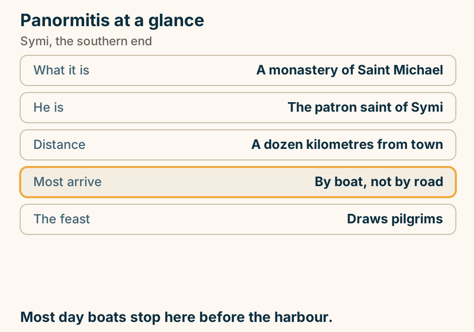
Symi has two ends: the harbour in the north, the monastery in the south. A simplified outline of Symi with a compass, drawn schematically and not to scale. A ferry arrow labelled from Rhodes enters the frame from off the top and lands at Gialos, the harbour in the north, which is the highlighted point on the map and the place you arrive. Just above Gialos, on the ridge, sits Chorio, also called Ano Symi, the upper town, linked to the harbour by the Kali Strata, drawn as a short stone staircase. At the far southern tip stands Panormitis, the monastery. The coast of Turkey is a shaded band along the eastern edge. Nothing between the two ends is drawn, because a day boat that calls at both shows you very little of it. Explained on The island of Symi: a harbour built on sponges. SVG · CC BY 4.0.
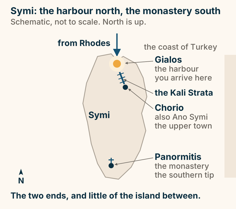
Thessaloniki
Agios Dimitrios at a glance. What it is: The patron saint’s basilica. Rebuilt after: The great fire. What survived: Early mosaics by the sanctuary. Below it: A crypt, separately opened. Allow: 30 to 45 minutes. A working church. The crypt keeps its own hours. Explained on Agios Dimitrios: the basilica of the city’s patron saint. SVG · CC BY 4.0.
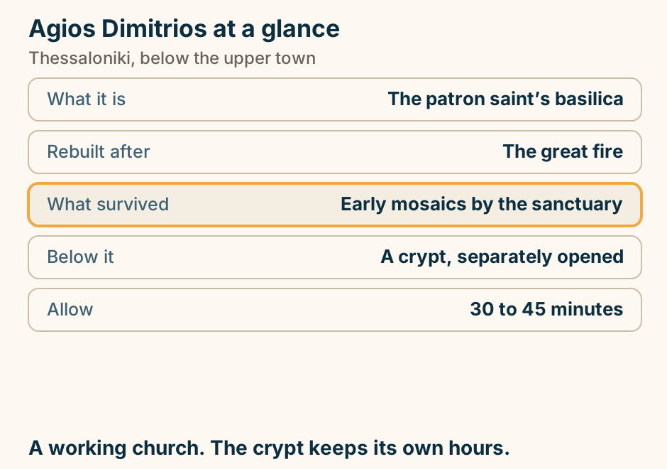
Ano Poli at a glance. What it is: The oldest surviving quarter. Why it survived: Above the great fire. At the top: The Byzantine walls. The view: The bay, and Olympus. Allow: Two to three hours. Ride up, walk down. The lanes are the point. Explained on Ano Poli: the part of Thessaloniki the fire did not take. SVG · CC BY 4.0.
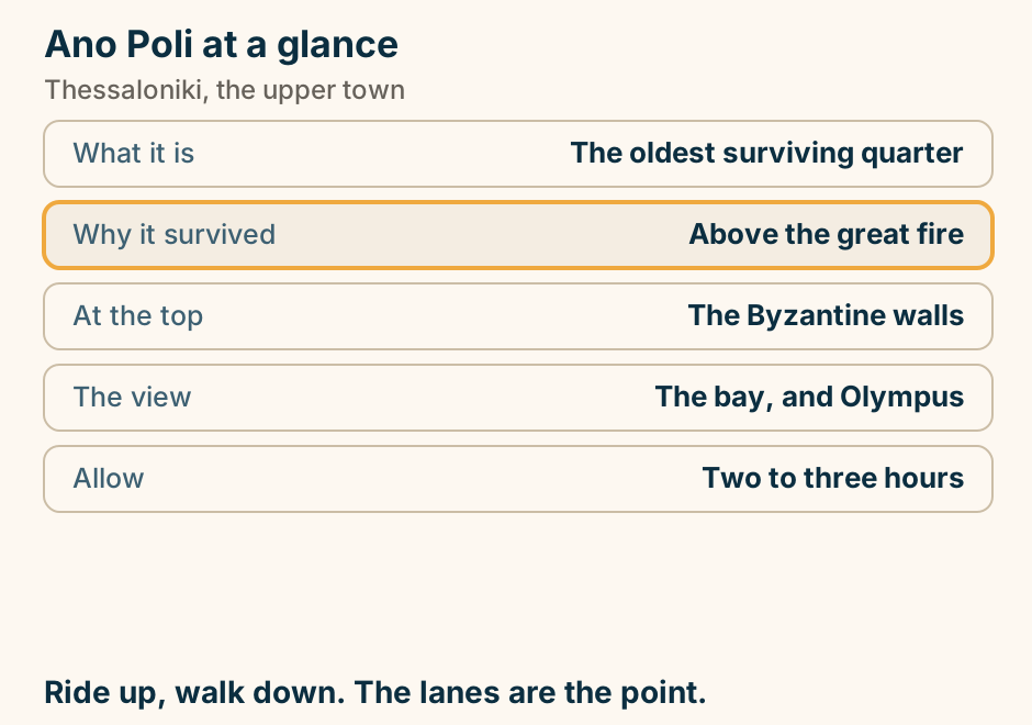
Aristotelous Square at a glance. What it is: The city’s main square. Why it exists: The post-fire replan. Best hours: Early morning, or evening. Walk from it: Markets, Rotunda, upper town. In December: The city’s lights. Not a sight. A place to sit while the city passes. Explained on Aristotelous Square: the city’s front room. SVG · CC BY 4.0.
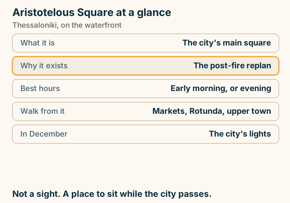
Heptapyrgion at a glance. What it is: The fortress on the walls. Its recent use: A prison, into living memory. Inside: Cell blocks and exhibitions. The view: The city and the bay. Getting up: Climb, or ride and walk down. A medieval fortress with a modern prison inside it. Explained on Heptapyrgion: a fortress, and a prison within living memory. SVG · CC BY 4.0.
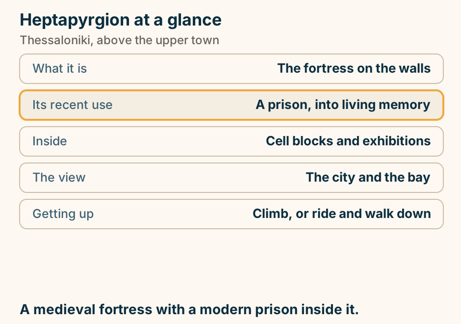
Modiano market at a glance. What it is: A restored covered market. Now: Stalls, counters and bars. Beside it: The open-air Kapani market. Built after: The great fire. Best hours: Morning, or the evening. Morning for the produce. Evening for everything else. Explained on Modiano: the covered market, and the city’s food quarter. SVG · CC BY 4.0.
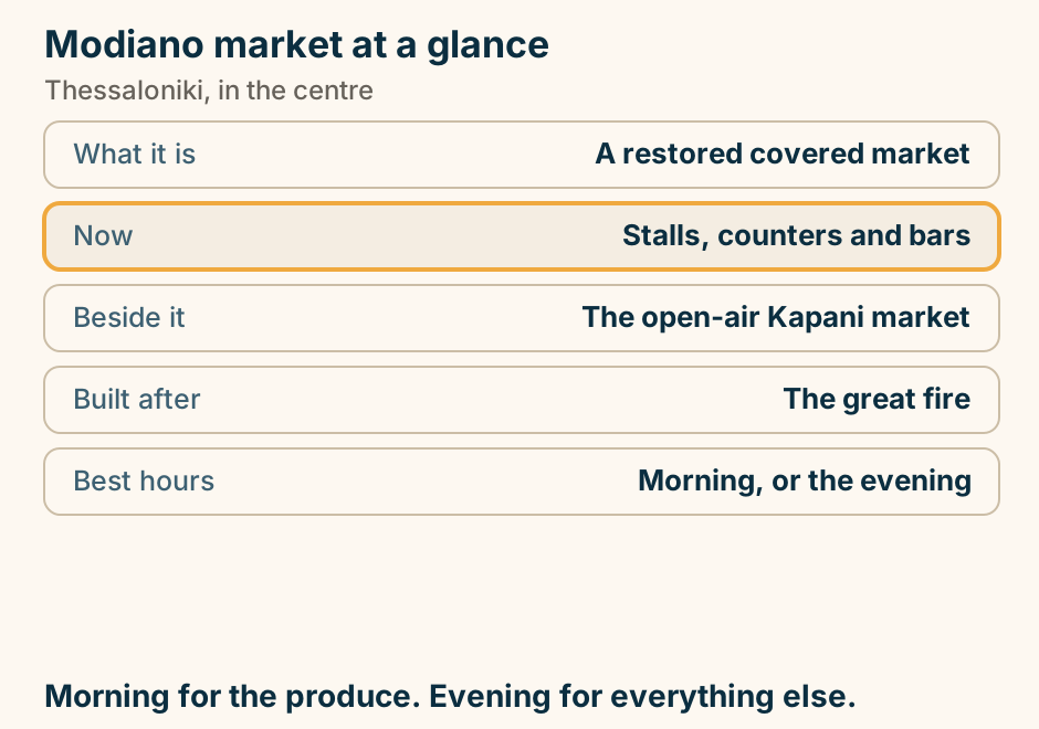
The Arch of Galerius at a glance. What it is: A Roman triumphal arch. Locally: Everyone calls it the Kamara. The carvings: The Persian campaign. Part of: The imperial complex. Entry: Open street, no ticket. Ten minutes, and the Rotunda is up the same street. Explained on The Arch of Galerius: a Roman monument used as a meeting point. SVG · CC BY 4.0.
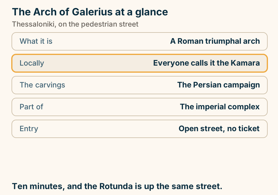
The Archaeological Museum at a glance. What it holds: Ancient Macedonia’s finds. The objects: Gold wreaths and jewellery. Also: The Derveni krater. Oldest in Europe: The Derveni papyrus. Next door: The Byzantine museum. The kingdom before the empire, in two hours. Explained on The Archaeological Museum: what ancient Macedonia left. SVG · CC BY 4.0.
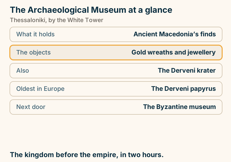
The Museum of Byzantine Culture at a glance. What it covers: Early Christian to Byzantine. Most affecting: Reconstructed painted tombs. Also holds: Mosaics lifted from churches. Allow: 90 minutes to two hours. Next door: The archaeological museum. The churches make sense once you have been here. Explained on The Museum of Byzantine Culture: the city’s own centuries. SVG · CC BY 4.0.
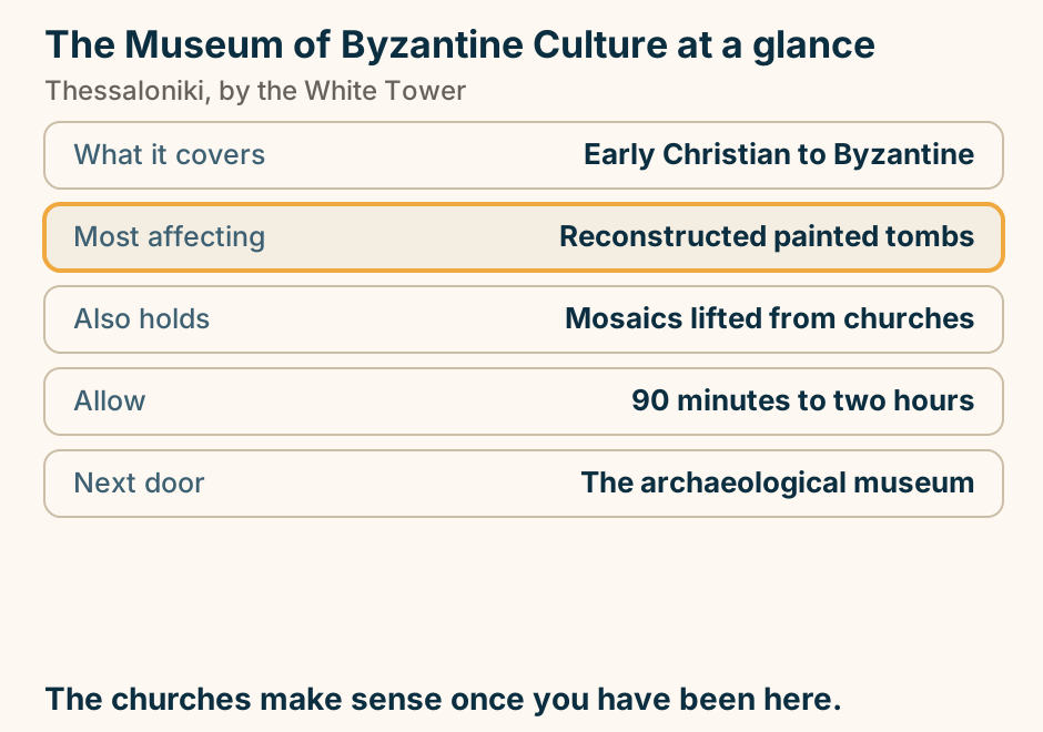
The Rotunda at a glance. What it is: A Roman imperial rotunda. Then: Church, then mosque. Still standing: Its Ottoman minaret. Inside: Early Christian mosaics. Allow: 30 to 40 minutes. A Roman drum that has been almost everything. Explained on The Rotunda: a Roman drum that has been almost everything. SVG · CC BY 4.0.
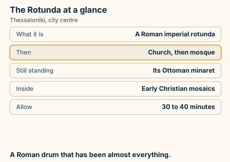
Where to stay in Thessaloniki: pick your base. A list of choices for where to stay in Thessaloniki. If you want everything central, first visit, stay in Around Aristotelous. If you want eating and bars on the doorstep, stay in Ladadika. If you want views and evening walks, stay in The waterfront. If you want quiet, atmospheric, steep, stay in Ano Poli. Stay in the lower town and walk to all of it. Explained on Where to stay in Thessaloniki. SVG · CC BY 4.0.
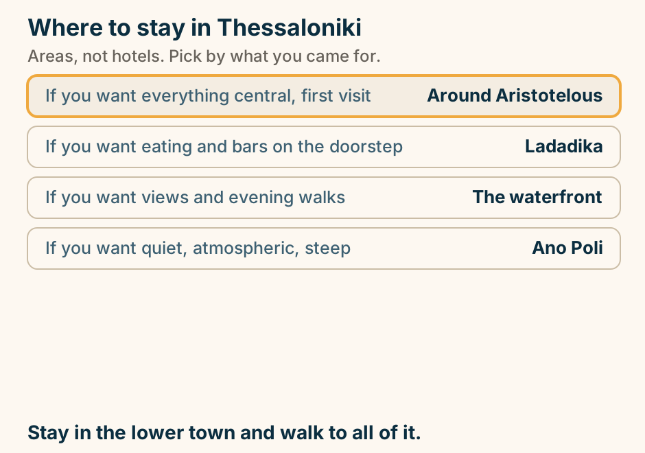
Tinos
Panagia Evangelistria at a glance. What it is: A Marian pilgrimage church. Also called: Panagia Megalochari. The great feast: The Dormition, 15 August. The climb: Some pilgrims do it kneeling. Outside the peaks: A quiet church on a hill. The great Marian shrine of Greece. Check the date you arrive. Explained on Panagia Evangelistria: the icon, the climb and 15 August. SVG · CC BY 4.0.
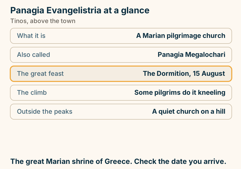
The ferry most travellers want to Tinos leaves from Rafina, not Piraeus. A route diagram of the Rafina line. From Athens, the smaller port of Rafina sits at the head of a single line running out to Andros, then Tinos, then Mykonos, which has the nearest airport. A branch leaves Tinos onward to Syros and Paros. Piraeus, further down the same mainland, is drawn as a dotted secondary route to Tinos, because it also serves the island, more slowly. Tinos has no airport, so every arrival is by sea. Explained on Tinos: Greece’s pilgrimage island, marble villages and dovecotes. SVG · CC BY 4.0.
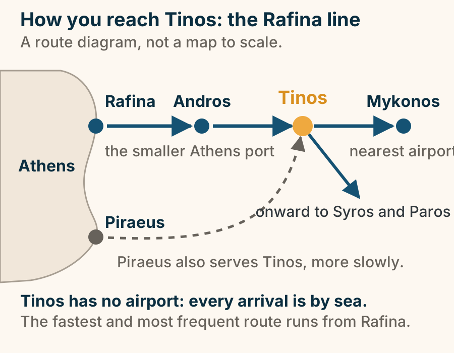
Tinos is three separate zones plus a port town, which is why a car earns its keep. A schematic outline of Tinos with north at the top. Three zones sit inside it. In the northwest are the marble villages: Pyrgos, Ysternia and Kardiani. In the middle is the boulder and dovecote country: Volax and Tarambados. Along the north and east are the windward beaches: Kolymbithra and Livada. On the south coast, marked as the anchor, are Tinos Town and the port, with the town beaches Agios Ioannis, Kionia and Agios Fokas beside them. Nothing here is walkable from anything else, which is the point: a car earns its keep on Tinos. Explained on Tinos: Greece’s pilgrimage island, marble villages and dovecotes. SVG · CC BY 4.0.
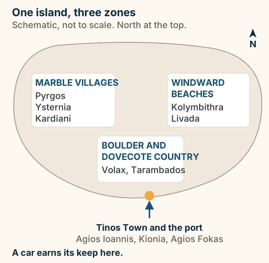
Volax at a glance. What it is: A field of giant boulders. In it: A village of white houses. The craft: Basket weaving. Around it: Dovecotes and marble villages. Getting there: Needs a car. The strangest ground in the Cyclades. Explained on Volax: white houses in a field of giant boulders. SVG · CC BY 4.0.
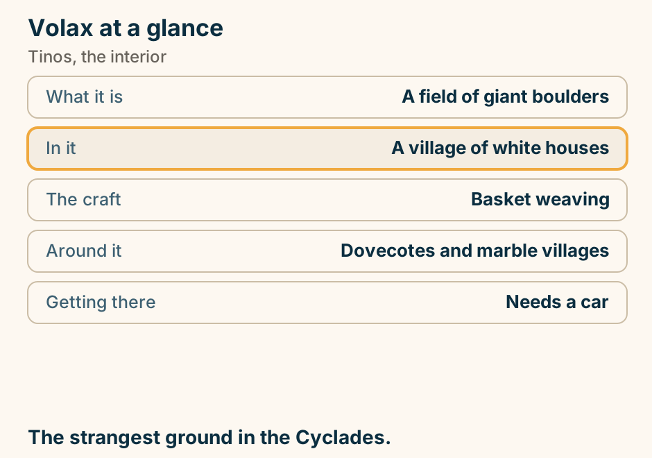
Zakynthos
Banana Beach at a glance. What it is: The island longest sand. The business: Watersports. Facing: North-east, sheltered. Quiet version: Early, late, or the ends. Next door: Gerakas, deliberately calm. Long, sandy, serviced, and loud in the middle. Explained on Banana Beach: the island’s longest sand, and the busiest. SVG · CC BY 4.0.
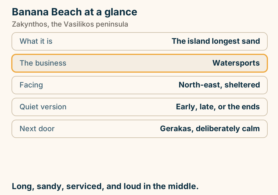
Dafni at a glance. What it is: A marine park nesting shore. Which means: Park rules, not beach rules. The turtles: Come ashore at night. The road in: Unmade, and steep. Development: Deliberately very little. A nesting beach first. Read the signs on the day. Explained on Dafni: a nesting beach first, and a beach second. SVG · CC BY 4.0.
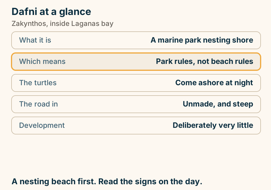
Gerakas beach at a glance. Shore: Soft golden sand. Entry: Shallow and gentle. Protection: Closes dusk to dawn. Shade: Bring your own. Reaching it: Car, then steps down. A nesting beach. The rules are why it still looks like this. Explained on Gerakas: a nesting beach with rules, and why they exist. SVG · CC BY 4.0.
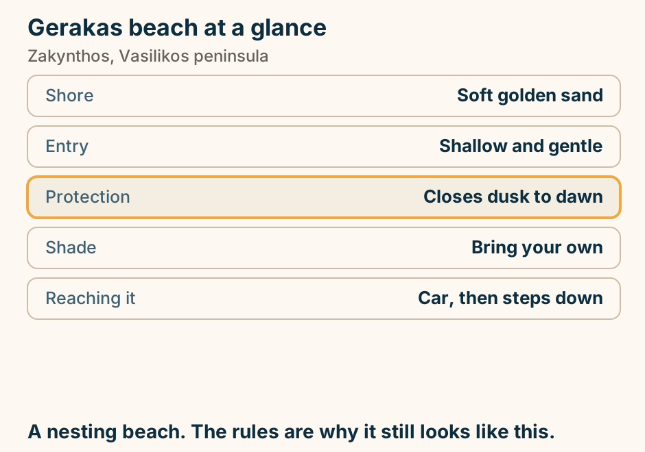
Laganas at a glance. Shore: Kilometres of shallow sand. Behind it: The island’s bar strip. The bay is: Inside the marine park. In season: Night access is restricted. Turtles: Wild, never guaranteed. A nightlife strip on a protected nesting beach. Explained on Laganas: a nightlife strip on a protected nesting bay. SVG · CC BY 4.0.
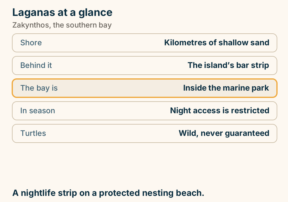
Marathonisi at a glance. What it is: An uninhabited islet. Inside: The national marine park. Reached by: Boat from Keri or Laganas. Facilities: None at all. Turtles: Wild, never guaranteed. Inside a marine park. The rules are the point. Explained on Marathonisi: an uninhabited islet inside a marine park. SVG · CC BY 4.0.
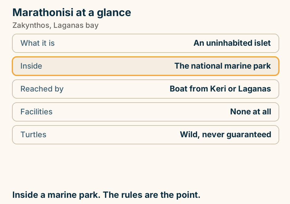
Porto Limnionas at a glance. What it is: A rock inlet, no sand. Entry: Ladders and rock shelves. Water: Deep, cold, very clear. Above it: One taverna. Avoid when: The west wind is up. Note where the ladders are before you swim off. Explained on Porto Limnionas: a rock inlet you swim in, not a beach. SVG · CC BY 4.0.
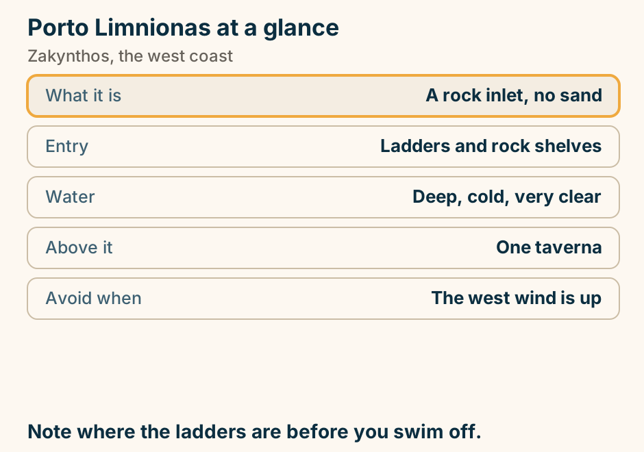
The Blue Caves at a glance. What it is: Sea arches in white cliff. Best hour: Morning. The boat: Small ones go inside. Swimming: Yes, most trips stop. Leaves from: Skinari or Agios Nikolaos. Morning, small boat, or do not bother. Explained on The Blue Caves: arches, not caves, and the hour decides everything. SVG · CC BY 4.0.
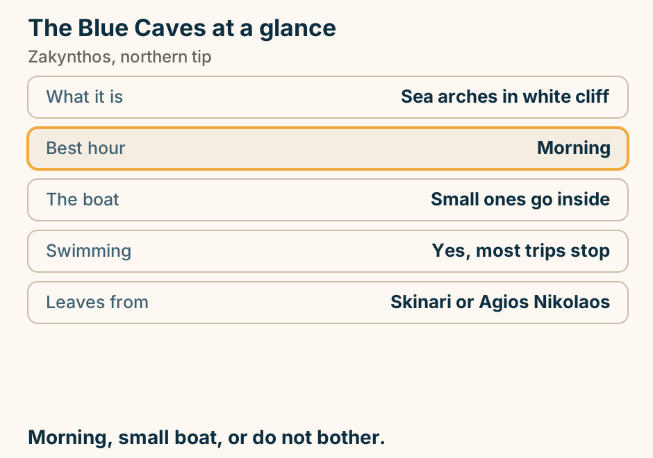
The Keri caves at a glance. What they are: Sea caves and arches. Boats from: Limni Keriou. The trip: Cliffs, arches, swim stops. Often includes: A pass by Marathonisi. Stopped by: Swell. Morning boats are the calm ones. Explained on The Keri caves: arches and blue water under the south cape. SVG · CC BY 4.0.
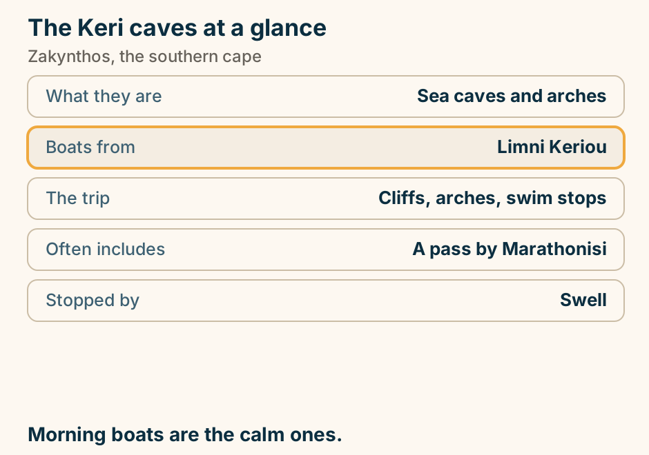
The Laganas strip, and the protected bay in front of it. A plan view of Laganas Bay. Along the shore, the nesting beaches are drawn as an outlined, protected marine-park band, divided into zones; the sand empties at dusk. Just inland, running parallel to the shore, the Main Road is drawn as a dense line of bars and clubs, late and later in peak season. Because the beach in front of it is protected, the night has nowhere to go but the road, which is why Laganas is a strip rather than a beach party. Around the edge of the frame, the island’s other resorts are listed by the hour they stop: Kalamaki earlier, by choice; Argassi at mid-range hours; Tsilivi early, for this island; and Zakynthos Town around midnight to two. Explained on Zakynthos nightlife: one road, and a marine park behind it. SVG · CC BY 4.0.
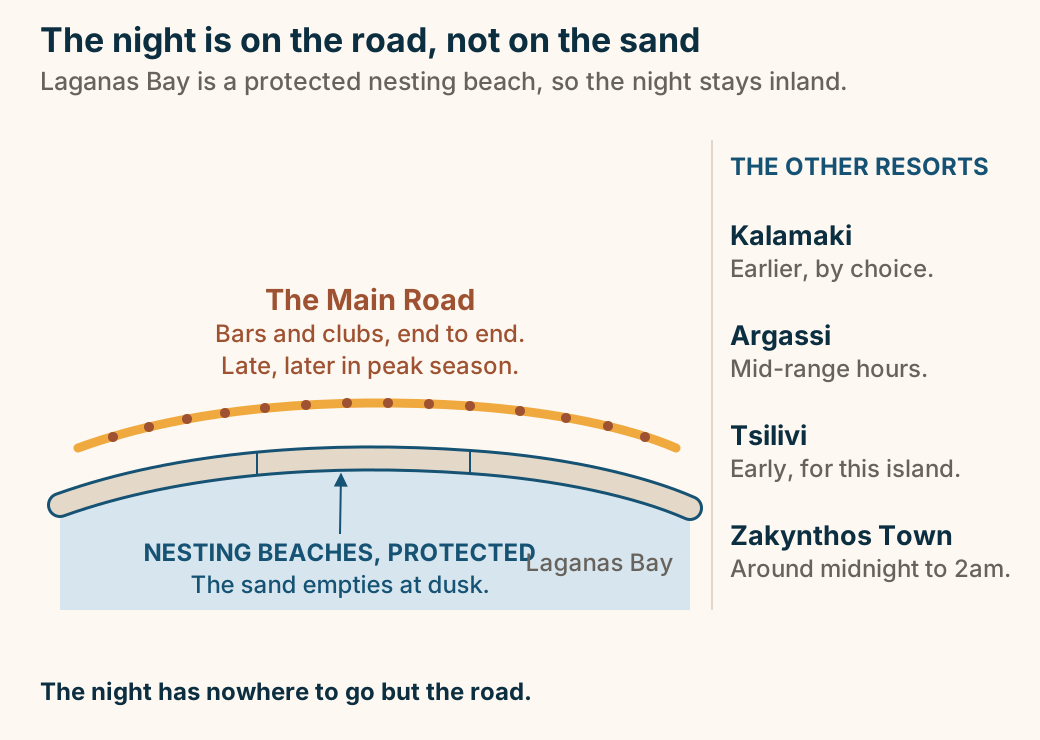
Tsilivi at a glance. Shore: Long shallow sand. Behind it: A full resort strip. Suits: Families and first visits. From town: A few kilometres. Out of season: Largely closed. The straightforward family week. Explained on Tsilivi: shallow sand, and a resort built around it. SVG · CC BY 4.0.
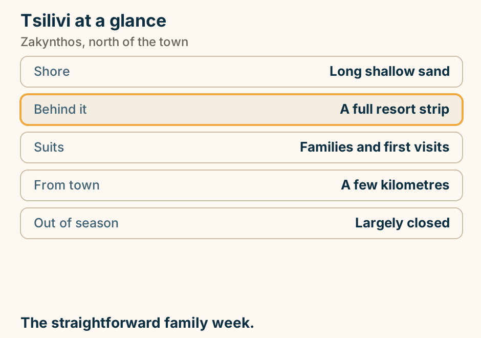
What the decision in force allows at Navagio, and what it does not. A side-on cross-section of Navagio cove. On the left, a clifftop with a small viewing platform on it, reached by road from the land side. The cliff falls to the cove, where a strip of gravel carries the wreck. Entry to the beach is prohibited, across both zones the decision names, the Prohibited Zone and the Controlled Access Zone. The water inside the bay is marked no swimming, inside the line joining the two ends of the cove. Fifty metres off the shoreline a dashed line marks the limit no vessel may cross to approach or anchor, motorised or not. Beyond that line a boat stands off the cove, which is the other way this place is seen. Viewing from the existing clifftop platform is permitted once the fencing and protection works along the slope are complete. The clifftop and the cove are two different trips, from two different sides of the island. This drawing rates nothing and warns of nothing: it shows only what the decision allows. Explained on Navagio Beach, Zakynthos: a view, not a beach. SVG · CC BY 4.0.
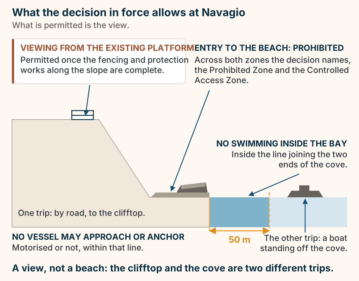
Where to stay in Zakynthos: pick your base. A list of choices for where to stay in Zakynthos. If you want a balanced family base, stay in Tsilivi. If you want quieter family beaches, stay in Alykes or Alykanas. If you want a full-volume party strip, stay in Laganas. If you want a real town and the ferry, stay in Zakynthos Town. If you want scenery and seclusion, stay in The south east. Choose Laganas deliberately, in either direction. Explained on Where to stay in Zakynthos. SVG · CC BY 4.0.
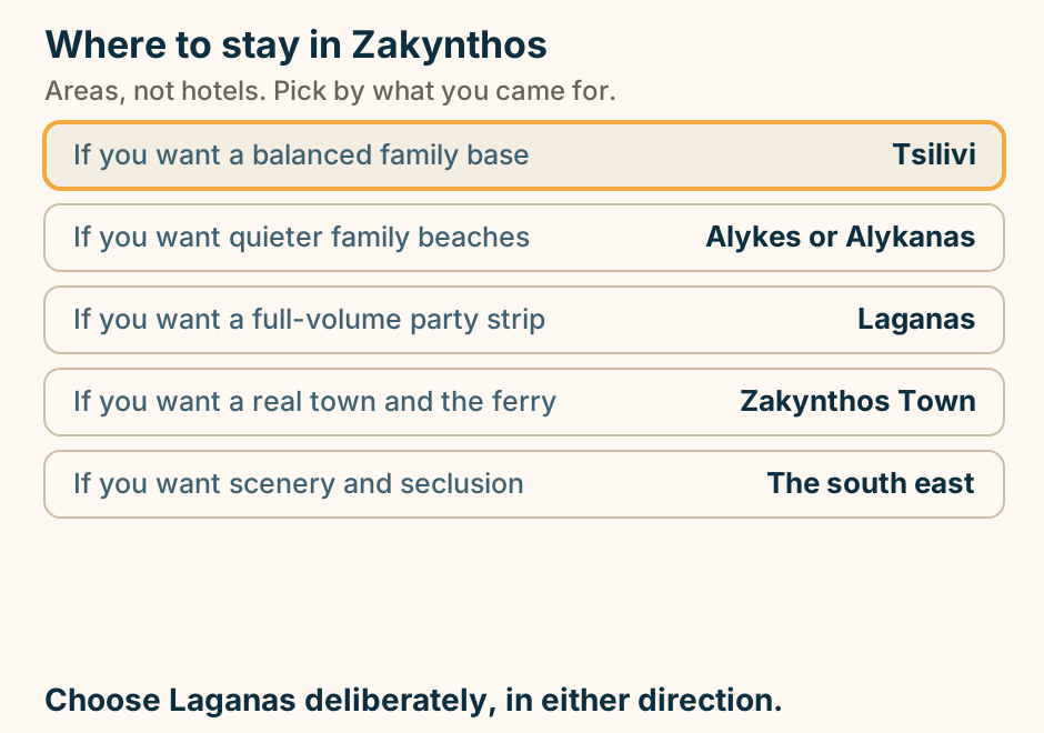
Xigia at a glance. What it is: A cove with sulphur springs. The draw: The springs run into the sea. The water: Colder and cloudier there. Getting down: A steep stair from the road. Size: Small, and it fills. A curiosity, not a beach day. Very small. Explained on Xigia: a small cove where the cliff leaks sulphur into the sea. SVG · CC BY 4.0.
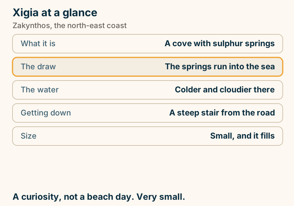
Other
A Greece honeymoon at a glance. A summary card in four parts. When to go: late September is our pick, May or June is the spring alternative, and mid-August is the time to avoid on purpose. The shape, by trip length: 7 days is Athens 1 night, Santorini 3 nights, then Milos or Naxos 3 nights. 10 days is Athens 2 nights, Santorini 3 nights, a quiet island 3 nights, then a second quiet island or Crete 2 nights. 2 weeks is the same spine, plus Crete or a third island, and more nights everywhere. The one rule, marked out: keep a buffer night in Athens before your flight home, and never book a same-day ferry-to-flight connection. Where the money goes: hotels drive the spread, the caldera suite is the biggest single line on the trip, flights come next, and food and ferries less. The quiet island gives you the honeymoon itself. Explained on Greece honeymoon: which island, when to go, and what to spend. SVG · CC BY 4.0.
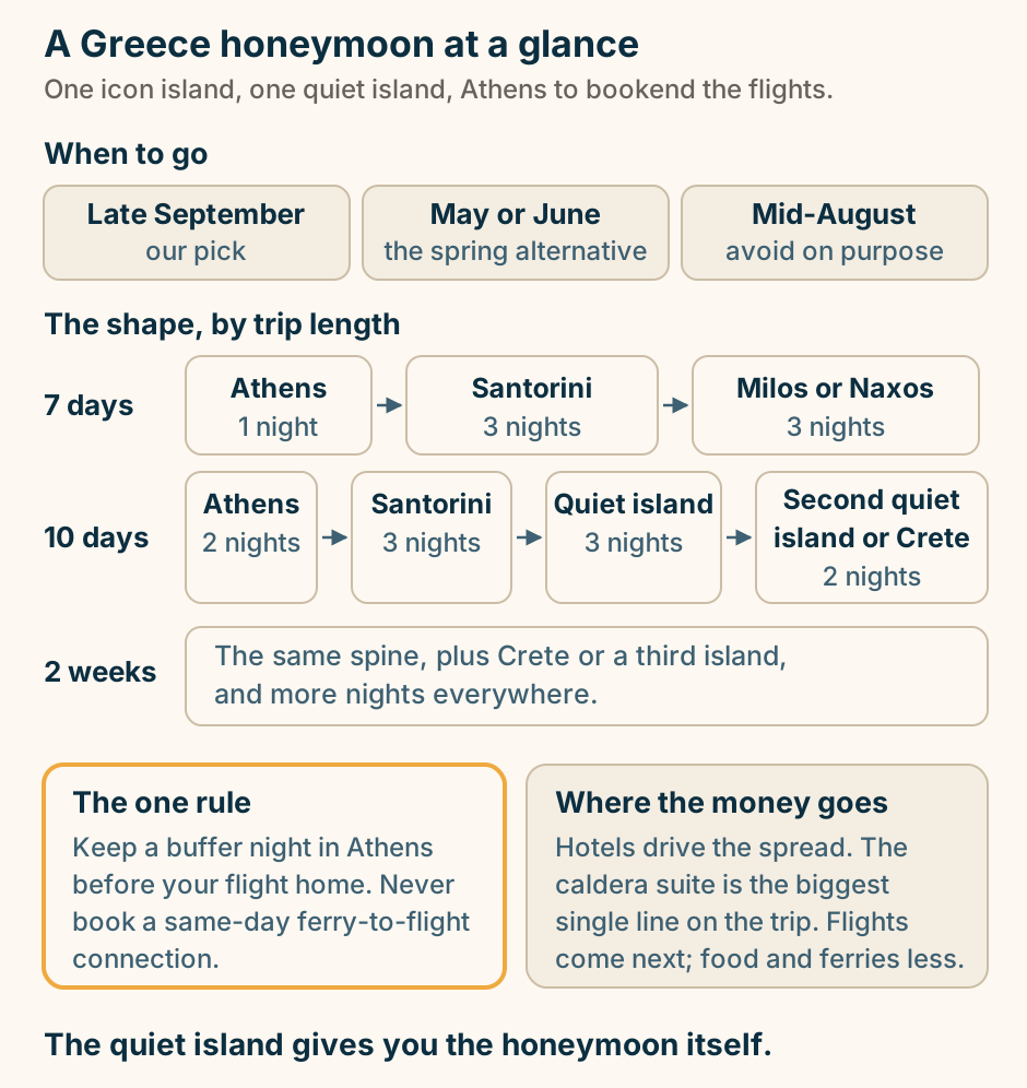
Agathonisi at a glance. What it is: The smallest inhabited one. Population: About a hundred. Settlements: Three, all walkable. Banks: None at all. The boat: A few sailings a week. Bring cash. There is no machine. Explained on Agathonisi: a hundred people, three hamlets, no bank. SVG · CC BY 4.0.
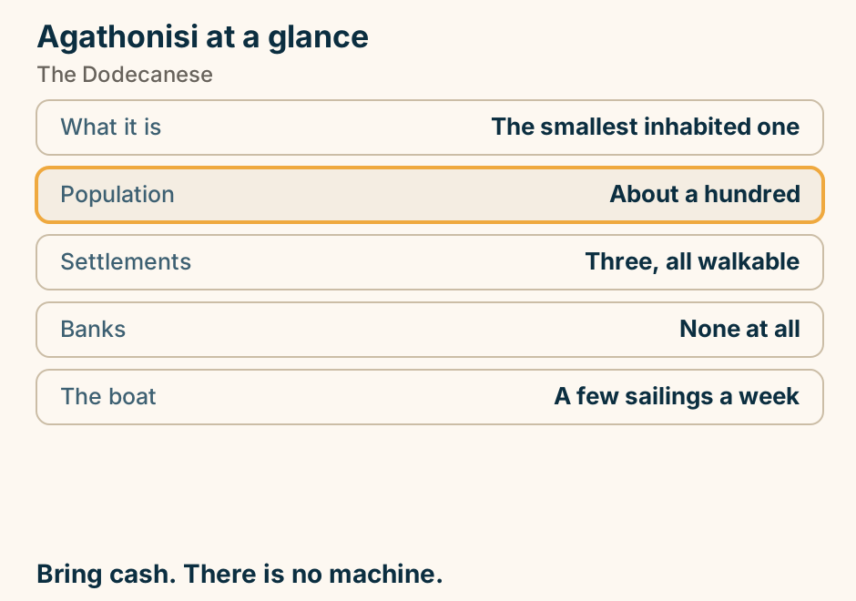
Agrinio at a glance. What it is: Largest in Aetolia-Acarnania. What built it: Tobacco. Next to it: The largest natural lake. At its end: An Aetolian League sanctuary. North of town: Kilometres of ancient walls. A working town, with a big lake beside it. Explained on Agrinio: the town between Greece’s largest lake and its neighbour. SVG · CC BY 4.0.
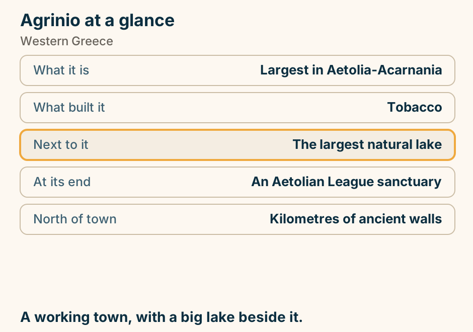
Aliki at a glance. What it is: A double bay on a headland. Beside it: An ancient marble quarry. Still there: Columns where they were cut. The advantage: Two coves, two aspects. Getting there: The ring road. A quarry running into the sea, and you swim beside it. Explained on Aliki: swimming beside an ancient quarry. SVG · CC BY 4.0.
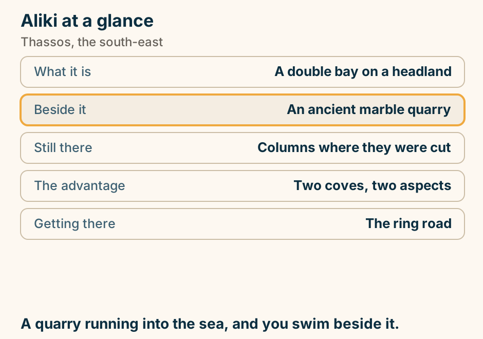
Alonissos at a glance. The water: Greece’s first marine park. It protects: Monk seal breeding caves. Seeing one: Never promised. They are wild. The old village: Emptied, then restored. Nearest airport: Skiathos. The island is quiet. The sea around it is protected. Explained on Alonissos: a marine park, and a village that came back. SVG · CC BY 4.0.
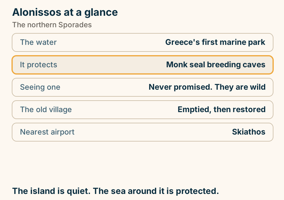
Ancient sites, grouped by the town you sleep in. A schematic map, not to scale, showing Greece’s major ancient sites grouped in pockets around the towns you sleep in. In the north, Thessaloniki holds Vergina, Pella and Dion, with Kavala and Philippi to its east. On the mainland, Delphi holds its sanctuary and Osios Loukas, and Athens holds the Acropolis, the Ancient Agora, Sounion, the Temple of Aphaia and Eleusis. In the Peloponnese, Nafplio holds Mycenae, Tiryns and Epidaurus, and Olympia holds its sanctuary. At the bottom, Heraklion on Crete holds Knossos, Phaistos and Malia. One line marks the mainland loop, running from Athens to Nafplio, then to Olympia, then to Delphi and back to Athens. To the east, Delos, Santorini, Samos and Rhodes sit apart, with no line joining them. Explained on The ruins of Greece: where to base the trip, and in what order. SVG · CC BY 4.0.
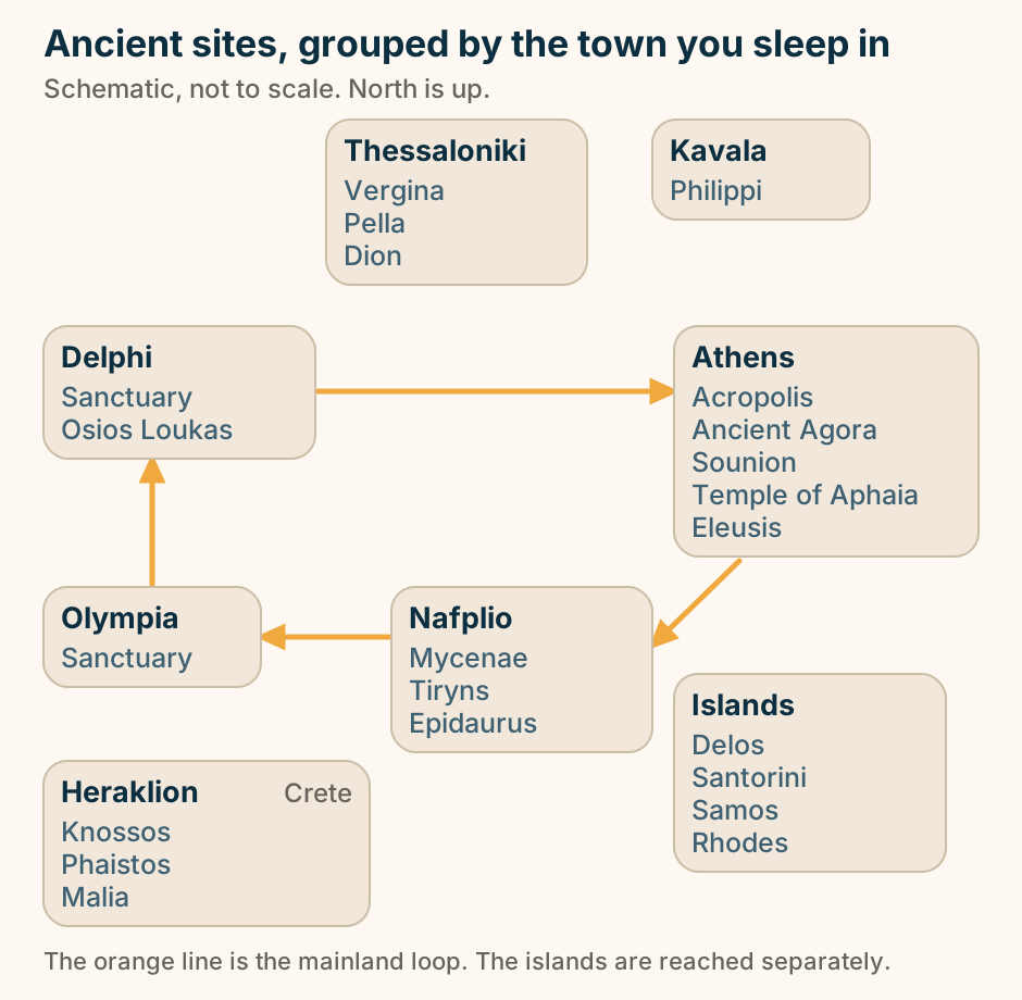
Ano Syros at a glance. What it is: The Catholic settlement. Founded under: Venetian rule. At the top: The cathedral of Saint George. Getting up: Stepped lanes. The other hill: The Orthodox one. The skyline is the history lesson. Explained on Ano Syros: stepped lanes to a Catholic cathedral. SVG · CC BY 4.0.
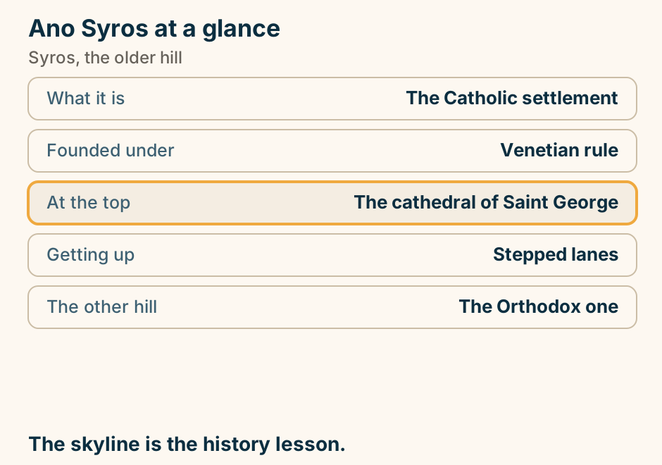
Antiparos at a glance. Crossing: Minutes, from Pounda. The village: One street and a kastro. The sight: A cave down many steps. Beaches: Small, sandy, undeveloped. Offshore: Despotiko and its sanctuary. A day trip that people wish they had booked properly. Explained on Antiparos: ten minutes from Paros, and a different island. SVG · CC BY 4.0.
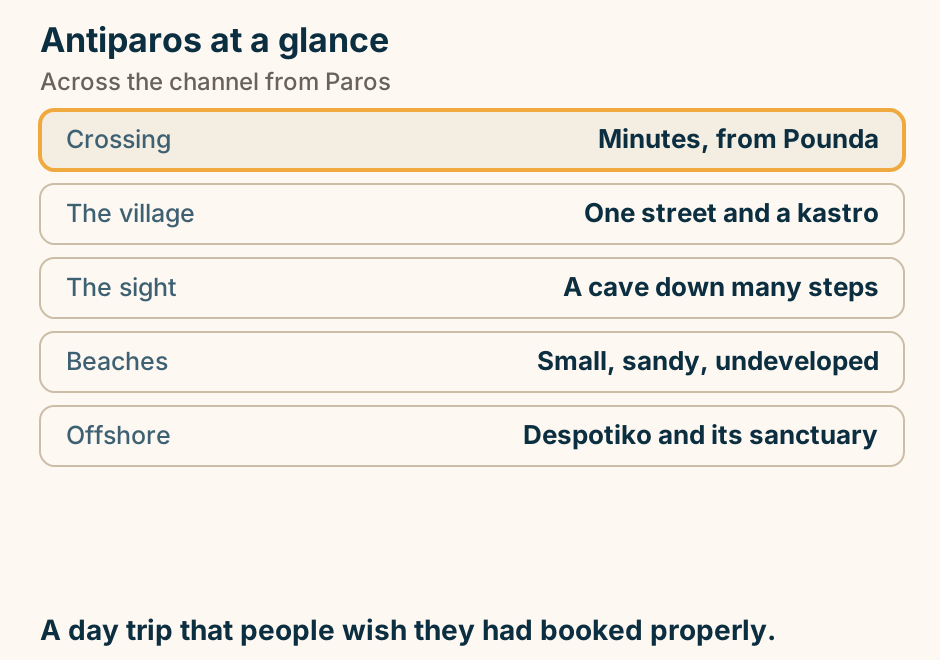
Arachova at a glance. In winter: The Athens weekend town. Midweek and summer: A quiet stone village. Above it: The largest ski area. Ten minutes away: Delphi. Known for: Weaving, cheese, honey. Two towns in one. Book the right one. Explained on Arachova: a ski town with an oracle down the road. SVG · CC BY 4.0.
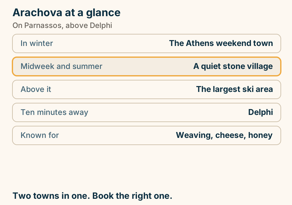
Arki at a glance. What it is: A hamlet on an inlet. Population: Around fifty. The harbour: Bent, and very sheltered. Ten minutes away: Marathi and its sand. On foot: The inlets of Tiganakia. About as quiet as the Aegean gets. Explained on Arki: one harbour, one hamlet, and Marathi next door. SVG · CC BY 4.0.
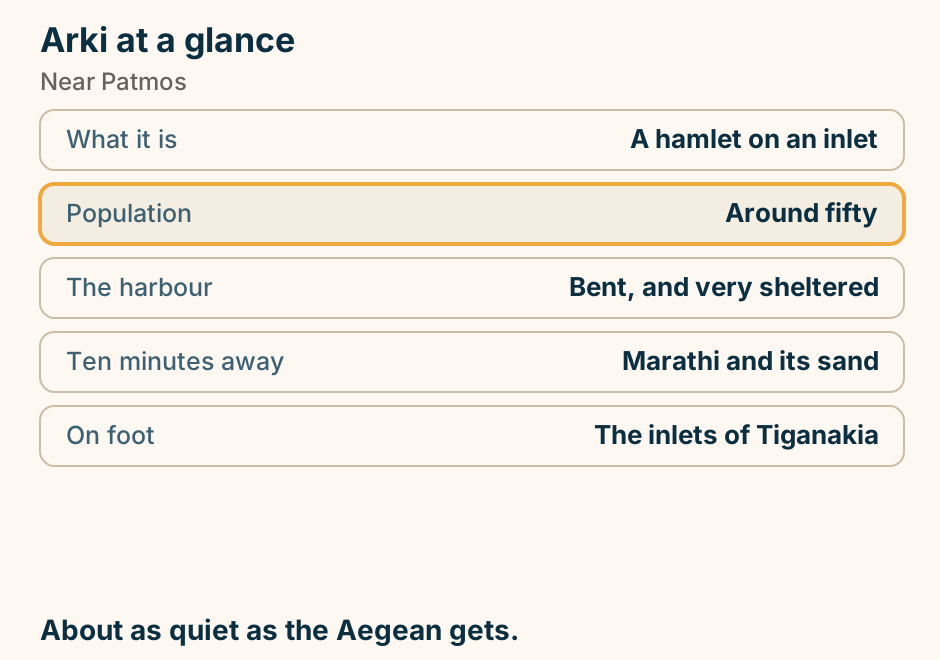
Astypalaia at a glance. The shape: Two lobes, one isthmus. The chora: White, under a castle. That castle: Venetian, still lived in. The east half: Dirt roads and empty bays. Getting there: Awkward. Hence quiet. Dodecanese on paper, Cycladic to look at. Explained on Astypalaia: two halves, one isthmus, and a castle village. SVG · CC BY 4.0.
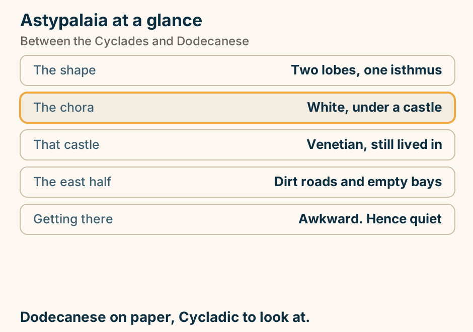
Athens to Amorgos at a glance. Fastest: About five hours. Slowest: Up to nine. Airport: None. Ports on the island: Two, half an hour apart. Above the sea: A monastery in the cliff. Check which of the two ports. Both ways. Explained on Athens to Amorgos: a long crossing, and two different ports. SVG · CC BY 4.0.
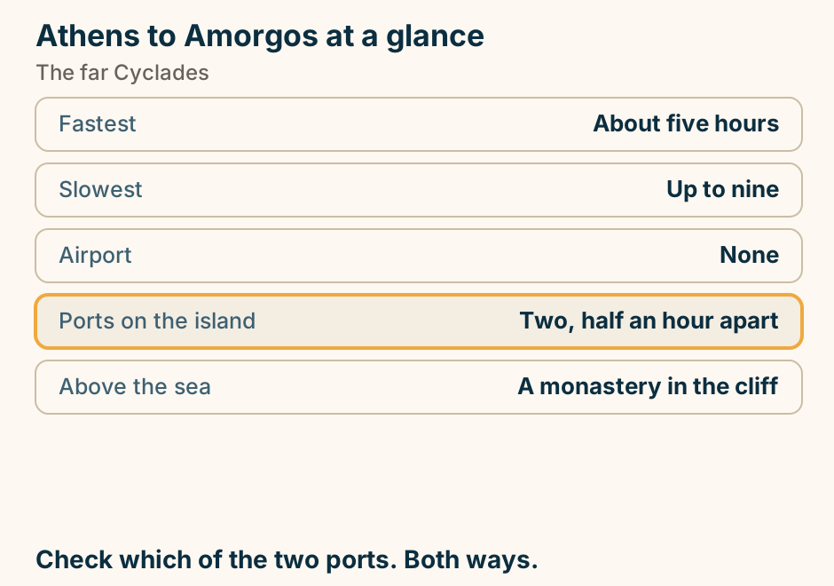
Athens to Amorgos: the crossing. The departure port Piraeus is marked in bold beside Athens. A single line runs from Piraeus to Amorgos, marking the crossing. From Piraeus, out to the far end of the line. Explained on Athens to Amorgos: a long crossing, and two different ports. SVG · CC BY 4.0.
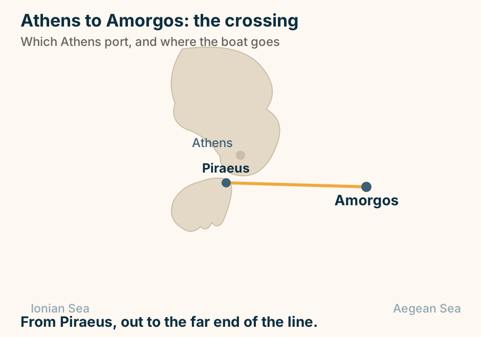
Athens to Chios at a glance. By air: Under an hour. By sea: An overnight from Piraeus. Also on the line: Lesvos, and Samos. On arrival: Hire a car, without fail. Why: The villages are far apart. Fly, or take the overnight boat. Explained on Athens to Chios: a short flight, or a night at sea. SVG · CC BY 4.0.
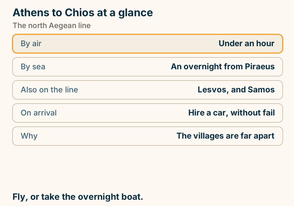
Athens to Chios: the crossing. The departure port Piraeus is marked in bold beside Athens. A single line runs from Piraeus to Chios, marking the crossing. From Piraeus, overnight. Or fly. Explained on Athens to Chios: a short flight, or a night at sea. SVG · CC BY 4.0.
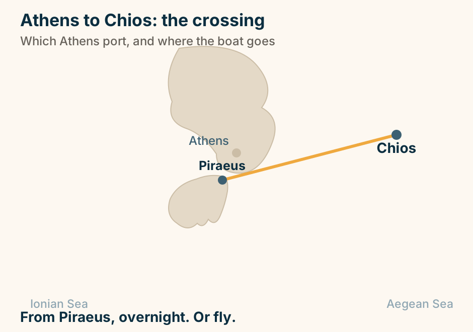
Athens to Corfu: the journey. A dashed line runs overland from Athens across the mainland to the western port of Igoumenitsa, and a solid line continues from that port out to Corfu, showing that the crossing does not begin at Athens. Not a Piraeus route. You cross to Igoumenitsa first. Explained on Athens to Corfu: the flight, or a long day across the mainland. SVG · CC BY 4.0.
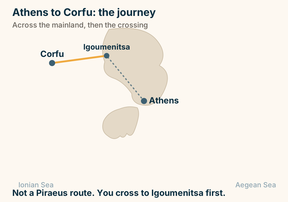
Athens to Crete: the crossing. The departure port Piraeus is marked in bold beside Athens. A single line runs from Piraeus to Crete, marking the crossing. From Piraeus, overnight, to Heraklion or Chania. Explained on Athens to Crete: the overnight boat, or the 55-minute flight. SVG · CC BY 4.0.
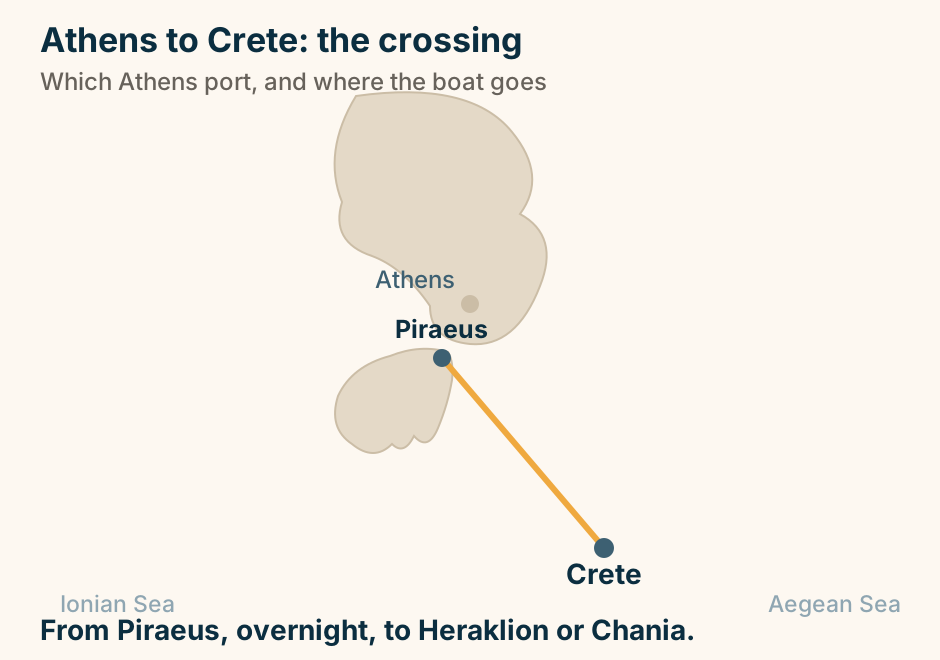
Athens to Folegandros at a glance. Airport: None. Direct from: Piraeus, and it is long. The short way: A hop from Santorini. Lands at: Karavostasi, below the Chora. No cruise ships: The harbour is too small. Most people arrive from Santorini. Explained on Athens to Folegandros: the long way, and the short way. SVG · CC BY 4.0.
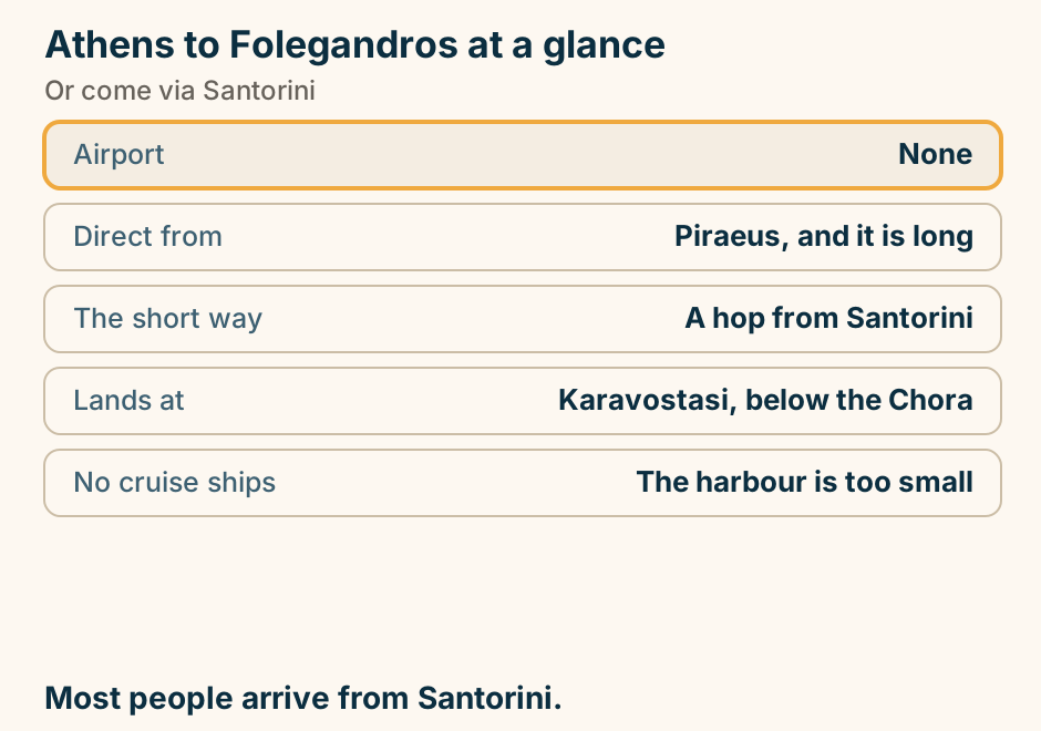
Athens to Folegandros: the crossing. The departure port Piraeus is marked in bold beside Athens. A single line runs from Piraeus to Folegandros, marking the crossing. From Piraeus, and no airport at the other end. Explained on Athens to Folegandros: the long way, and the short way. SVG · CC BY 4.0.
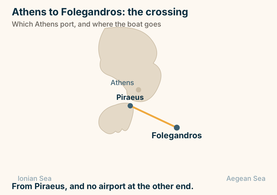
Athens to Hydra: the crossing. The departure port Piraeus is marked in bold beside Athens. A single line runs from Piraeus to Hydra, marking the crossing. From Piraeus, fast boats only. No cars on Hydra. Explained on Athens to Hydra: an hour or so to an island with no cars. SVG · CC BY 4.0.
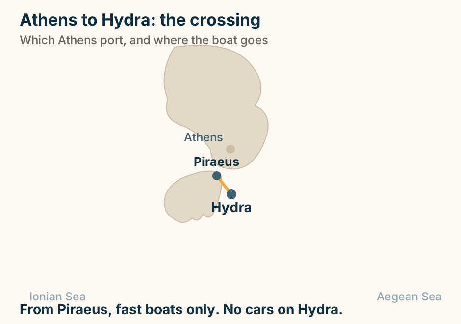
Athens to Ioannina at a glance. Ferry: None: it is inland. By road: The motorway west, then north. By air: A short domestic hop. The bus: No national timetable exists. Beyond it: Zagori, and the Vikos gorge. A mountain drive, or a short flight. Explained on Athens to Ioannina: a mountain drive, or an hour in the air. SVG · CC BY 4.0.
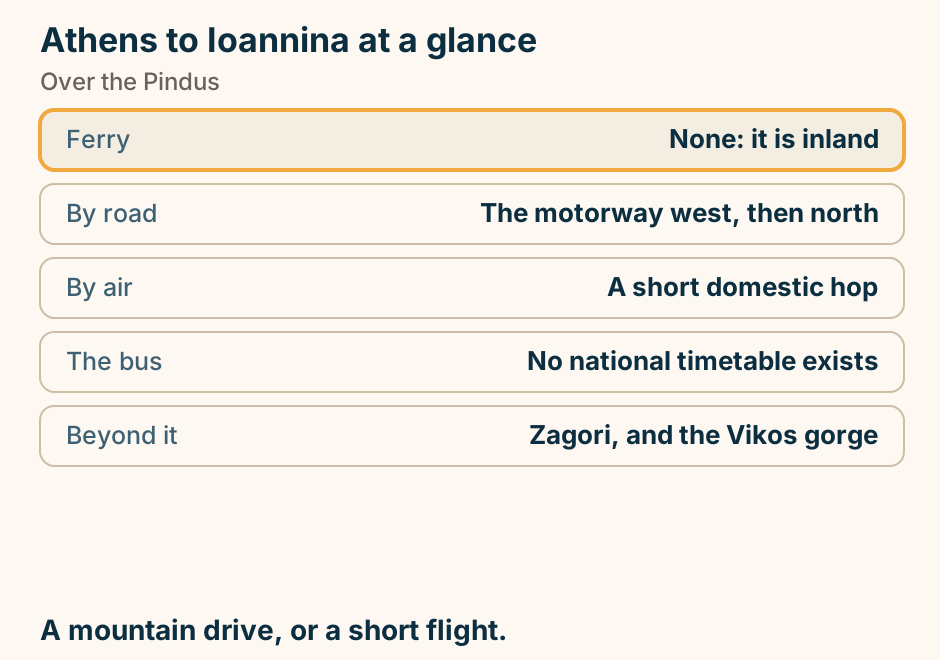
Athens to Ioannina: the journey. A single line runs overland from Athens to Ioannina, marking the journey. No sea crossing is involved. Overland through the Pindus, or fly. Explained on Athens to Ioannina: a mountain drive, or an hour in the air. SVG · CC BY 4.0.
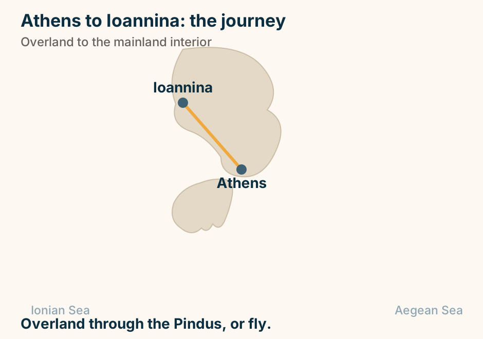
Athens to Ios at a glance. Airport: None. Fast boat: About four hours. Conventional: Six to eight. Easier way in: Under an hour from Santorini. Which island you get: Depends on the month. Most people arrive from Santorini instead. Explained on Athens to Ios: one line, and no airport. SVG · CC BY 4.0.
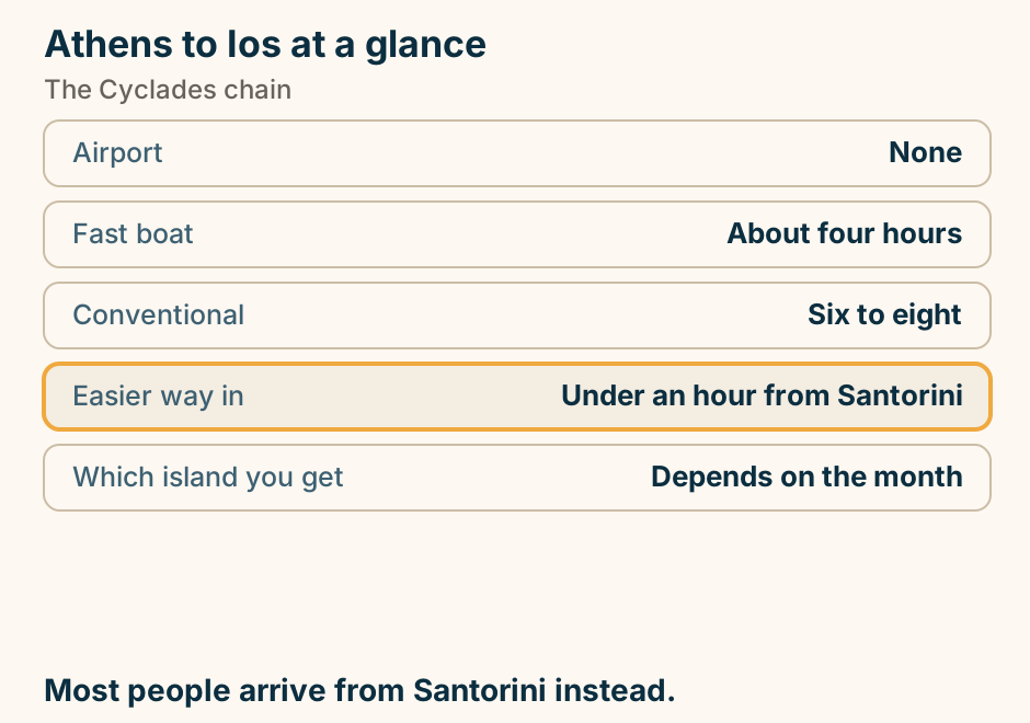
Athens to Ios: the crossing. The departure port Piraeus is marked in bold beside Athens. A single line runs from Piraeus to Ios, marking the crossing. From Piraeus. No airport at the other end. Explained on Athens to Ios: one line, and no airport. SVG · CC BY 4.0.
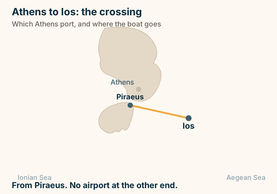
Athens to Kalamata at a glance. By road: Two and a half to three. By rail: The line is suspended. By air: A short flight, plus charters. South of it: The Mani, and Kardamyli. West of it: Voidokilia and the castles. The city is a base. The coast is the point. Explained on Athens to Kalamata: a motorway, and what is at the end of it. SVG · CC BY 4.0.
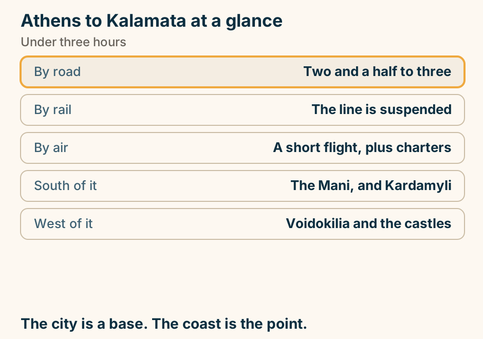
Athens to Kalamata: the journey. A single line runs overland from Athens to Kalamata, marking the journey. No sea crossing is involved. Overland into the Peloponnese. There is no boat. Explained on Athens to Kalamata: a motorway, and what is at the end of it. SVG · CC BY 4.0.
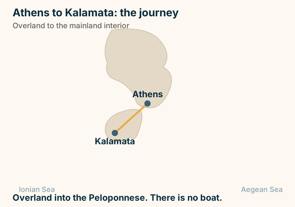
Athens to Karpathos at a glance. By air: The only sensible way. By sea: Very long, and infrequent. The other way in: From Rhodes. Two ends: A south, and an isolated north. On arrival: A car, without question. Fly, unless you have days to spare. Explained on Athens to Karpathos: fly it, unless you have days to spare. SVG · CC BY 4.0.
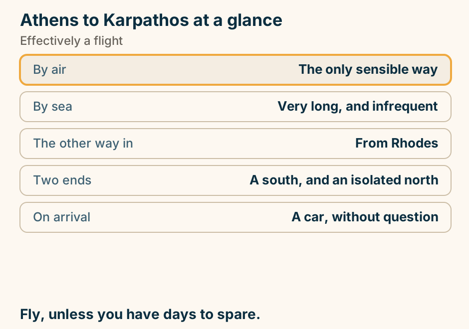
Athens to Karpathos: the crossing. The departure port Piraeus is marked in bold beside Athens. A single line runs from Piraeus to Karpathos, marking the crossing. A long haul by sea. Most people fly. Explained on Athens to Karpathos: fly it, unless you have days to spare. SVG · CC BY 4.0.
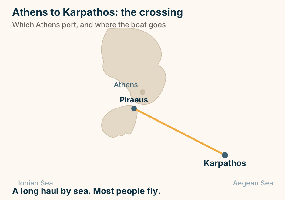
Athens to Kavala at a glance. By air: The sensible option. By road: A long day north. Ferry: None from Piraeus. Why go: An aqueduct through the town. Offshore: Thassos, a short car ferry. Fly, or break the drive. Explained on Athens to Kavala: the far north-east, and how to reach it. SVG · CC BY 4.0.
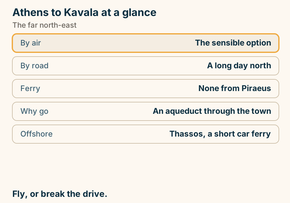
Athens to Kavala: the journey. A single line runs overland from Athens to Kavala, marking the journey. No sea crossing is involved. Overland to the north-east corner, or fly. Explained on Athens to Kavala: the far north-east, and how to reach it. SVG · CC BY 4.0.
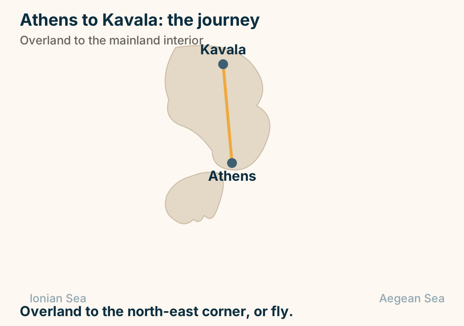
Athens to Kefalonia at a glance. Why not Piraeus: It faces the wrong sea. By air: About an hour. By road and boat: Kyllini, then to Poros. Above the port: The best Frankish castle. On the island: A car, without question. Fly, or drive west to Kyllini. Explained on Athens to Kefalonia: the Ionian is not reached from Piraeus. SVG · CC BY 4.0.
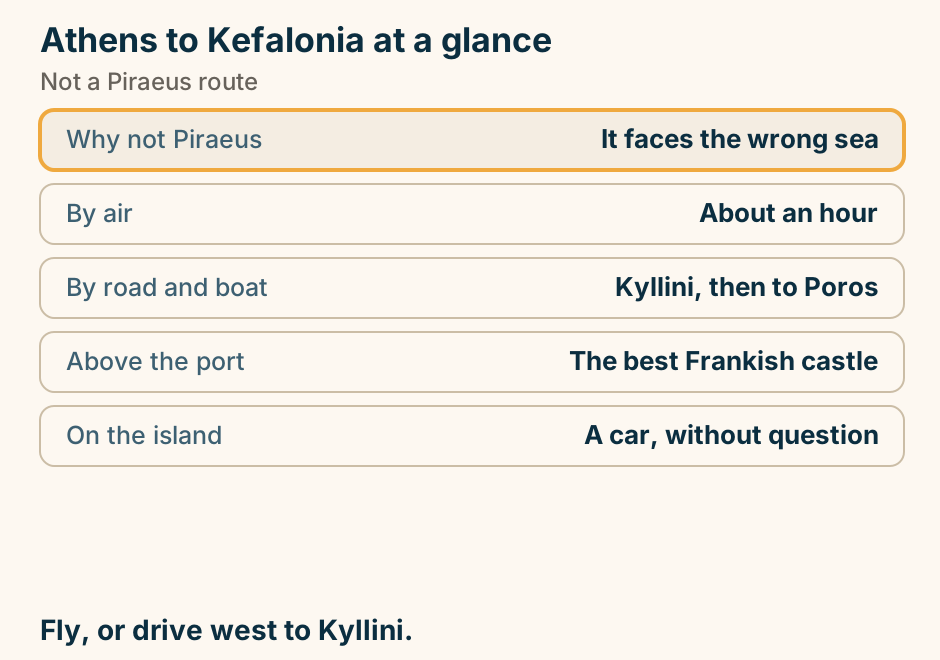
Athens to Kefalonia: the journey. A dashed line runs overland from Athens across the mainland to the western port of Kyllini, and a solid line continues from that port out to Kefalonia, showing that the crossing does not begin at Athens. Not a Piraeus route. The boat leaves from Kyllini. Explained on Athens to Kefalonia: the Ionian is not reached from Piraeus. SVG · CC BY 4.0.
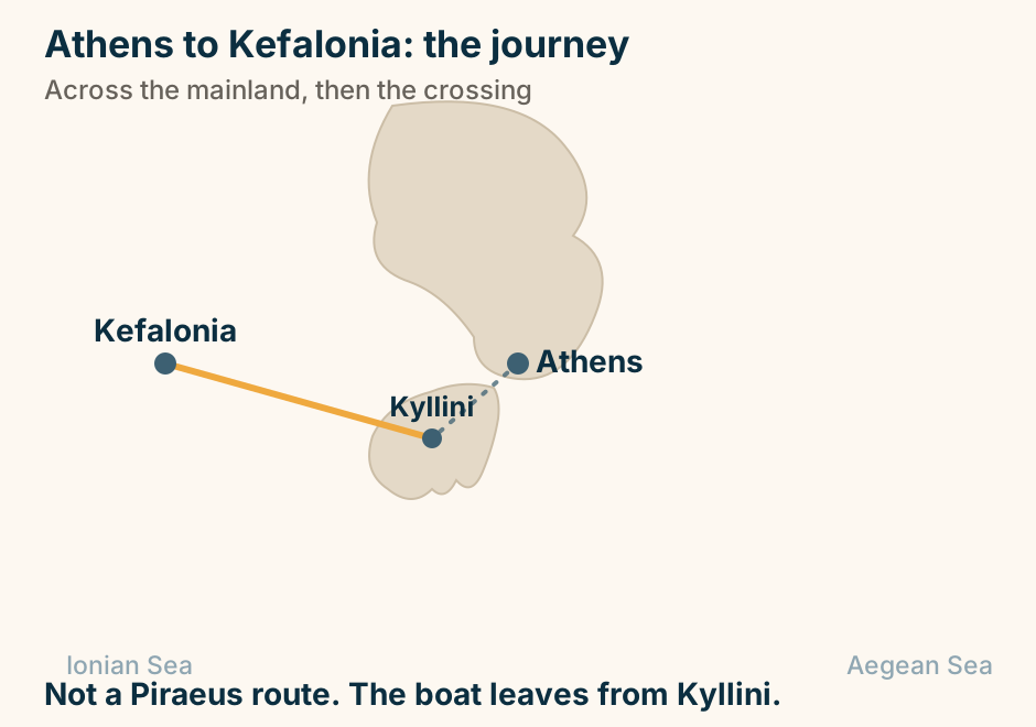
Athens to Kos at a glance. By sea: Ten to twelve hours. How it sails: Overnight. Take a cabin. By air: About an hour. The island: Flat, green, good cycling. Above the town: The Asklepion. Fly, unless you are hopping anyway. Explained on Athens to Kos: an overnight boat, or an hour in the air. SVG · CC BY 4.0.
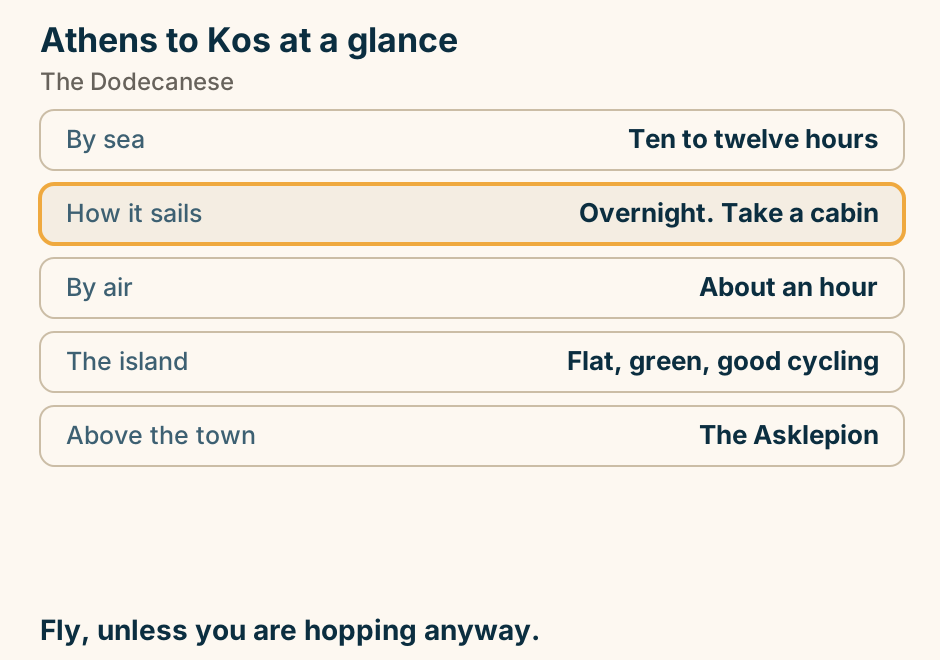
Athens to Kos: the crossing. The departure port Piraeus is marked in bold beside Athens. A single line runs from Piraeus to Kos, marking the crossing. From Piraeus, down the Dodecanese. Or fly. Explained on Athens to Kos: an overnight boat, or an hour in the air. SVG · CC BY 4.0.
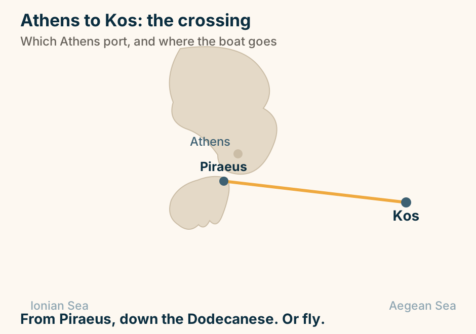
Athens to Lefkada at a glance. The ferry: There is not one. Why: A bridge joins the island. By road: Four to five hours. Nearest airport: Preveza, twenty minutes off. Once there: You need the car anyway. Drive on. Keep the car. Explained on Athens to Lefkada: no boat is involved. SVG · CC BY 4.0.
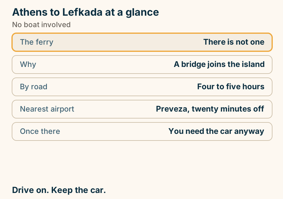
Athens to Lefkada: the journey. A single line runs overland from Athens to Lefkada, marking the journey. No sea crossing is involved. No ferry at all. Lefkada is joined by a bridge. Explained on Athens to Lefkada: no boat is involved. SVG · CC BY 4.0.
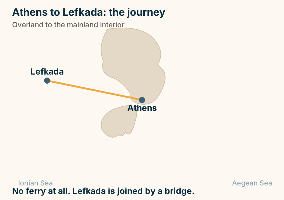
Athens to Meteora: the journey. A single line runs overland from Athens to Meteora, marking the journey. No sea crossing is involved. Overland to central Greece. Check what is running. Explained on Athens to Meteora: what is actually running. SVG · CC BY 4.0.
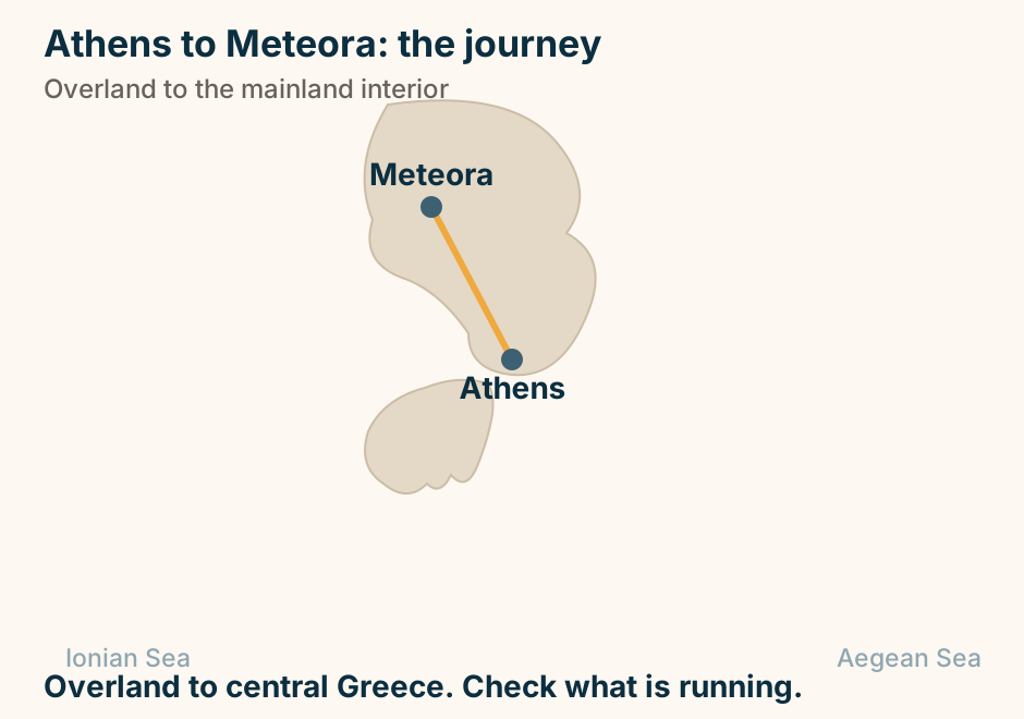
Athens to Milos: the crossing. The departure port Piraeus is marked in bold beside Athens, with Lavrio shown faintly as the other Attic port option. A single line runs from Piraeus to Milos, marking the crossing. From Piraeus, on the western Cyclades line. Explained on Athens to Milos: the western Cyclades line. SVG · CC BY 4.0.
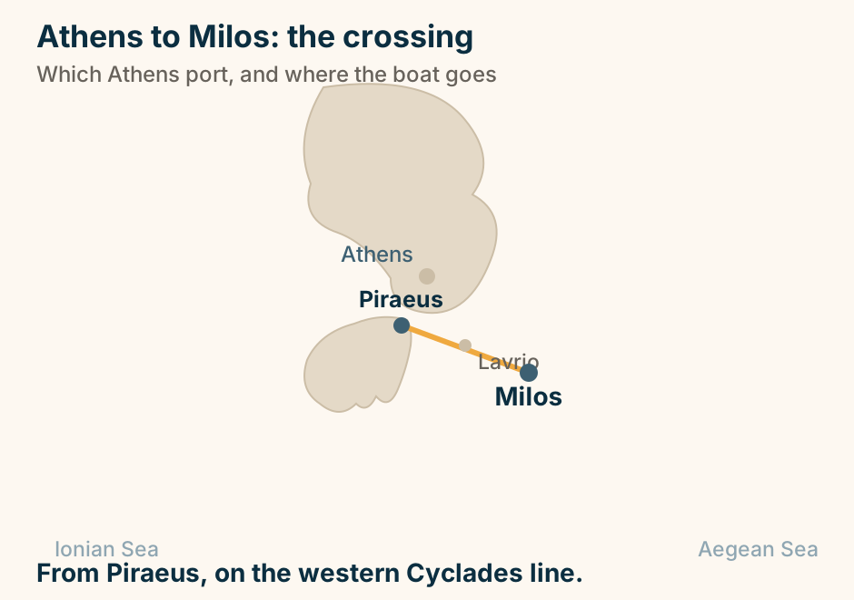
Athens to Monemvasia: the journey. A single line runs overland from Athens to Monemvasia, marking the journey. No sea crossing is involved. Overland to the south-east Peloponnese. Explained on Athens to Monemvasia: four hours, then you walk in. SVG · CC BY 4.0.
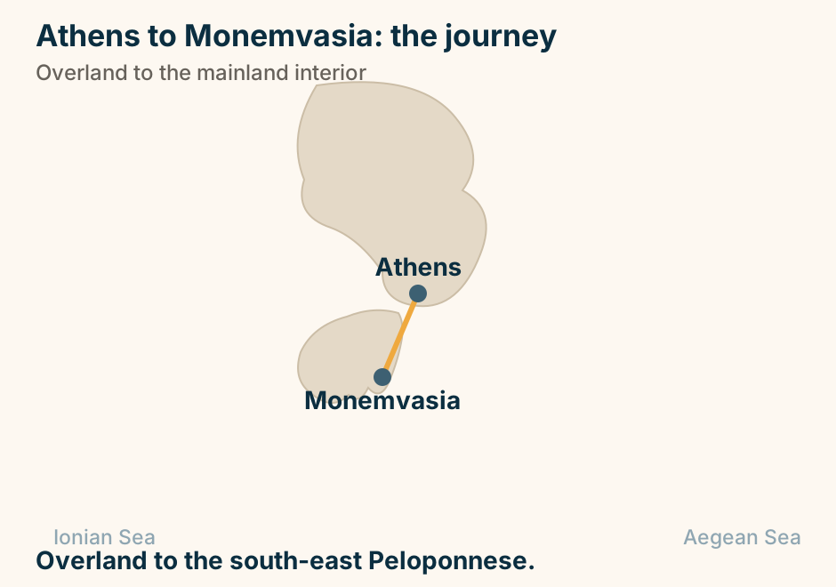
Athens to Mykonos: the crossing. The departure port Rafina is marked in bold beside Athens, with Piraeus shown faintly as the other Attic port option. A single line runs from Rafina to Mykonos, marking the crossing. Rafina from the airport, Piraeus from the city. Explained on Athens to Mykonos: why the port you choose matters most. SVG · CC BY 4.0.
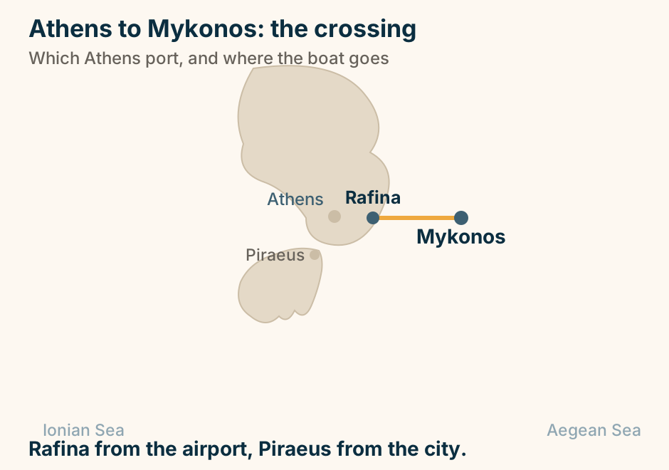
Athens to Nafplio: the journey. A single line runs overland from Athens to Nafplio, marking the journey. No sea crossing is involved. Two hours by road into the Peloponnese. Explained on Athens to Nafplio: two hours to the prettiest town in Greece. SVG · CC BY 4.0.
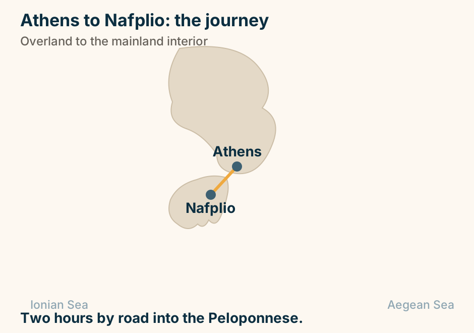
Athens to Naxos: the crossing. The departure port Piraeus is marked in bold beside Athens, with Rafina shown faintly as the other Attic port option. A single line runs from Piraeus to Naxos, marking the crossing. Mostly from Piraeus. Rafina runs seasonally. Explained on Athens to Naxos: the crossing, the flight, and which to take. SVG · CC BY 4.0.
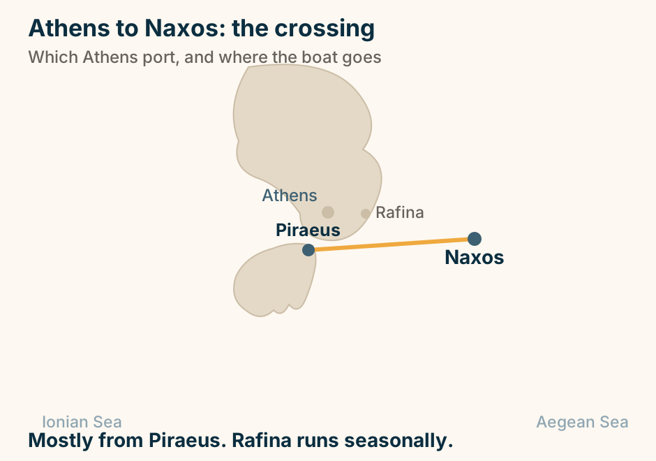
Athens to Parga at a glance. Ferry: There is not one. By road: Across to the west coast. Nearest airports: Preveza, or Ioannina. The bus: No national timetable exists. Once there: Boats to Paxos, opposite. It is a drive, not a crossing. Explained on Athens to Parga: there is no boat, and that is the point. SVG · CC BY 4.0.
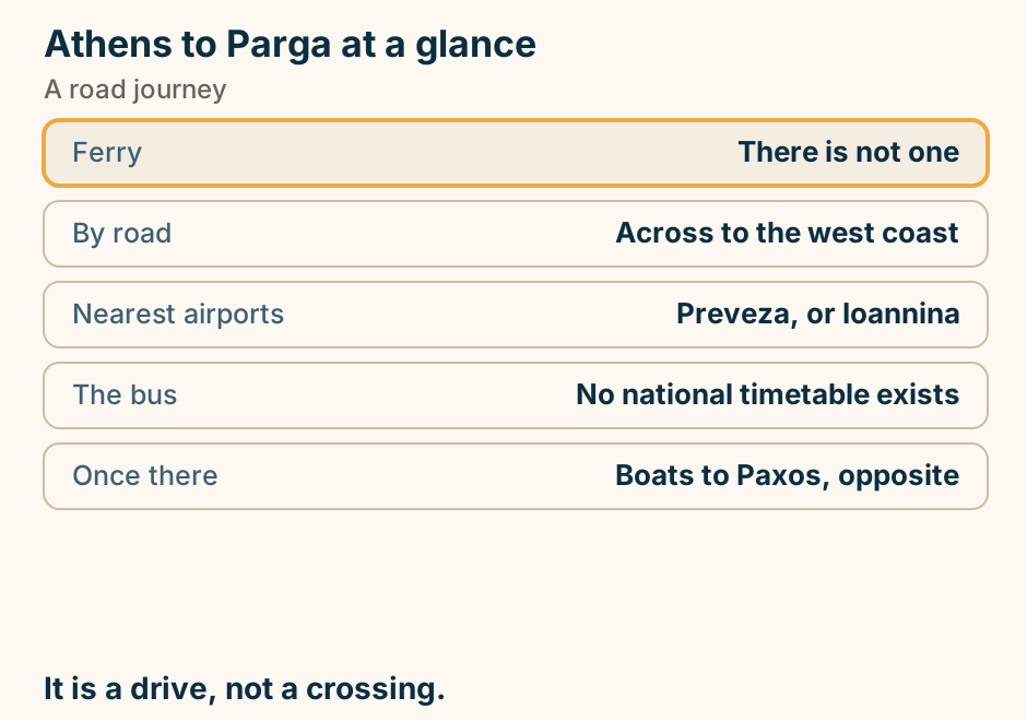
Athens to Parga: the journey. A single line runs overland from Athens to Parga, marking the journey. No sea crossing is involved. No boat at all. Overland to Epirus. Explained on Athens to Parga: there is no boat, and that is the point. SVG · CC BY 4.0.
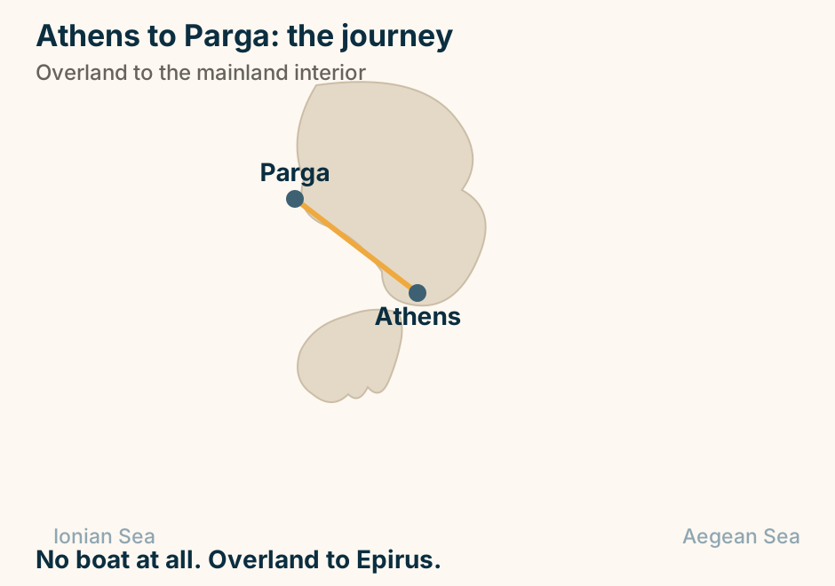
Athens to Paros: the crossing. The departure port Piraeus is marked in bold beside Athens, with Rafina shown faintly as the other Attic port option. A single line runs from Piraeus to Paros, marking the crossing. Mostly from Piraeus. Rafina runs seasonally. Explained on Athens to Paros: the easiest island in the Cyclades to reach. SVG · CC BY 4.0.
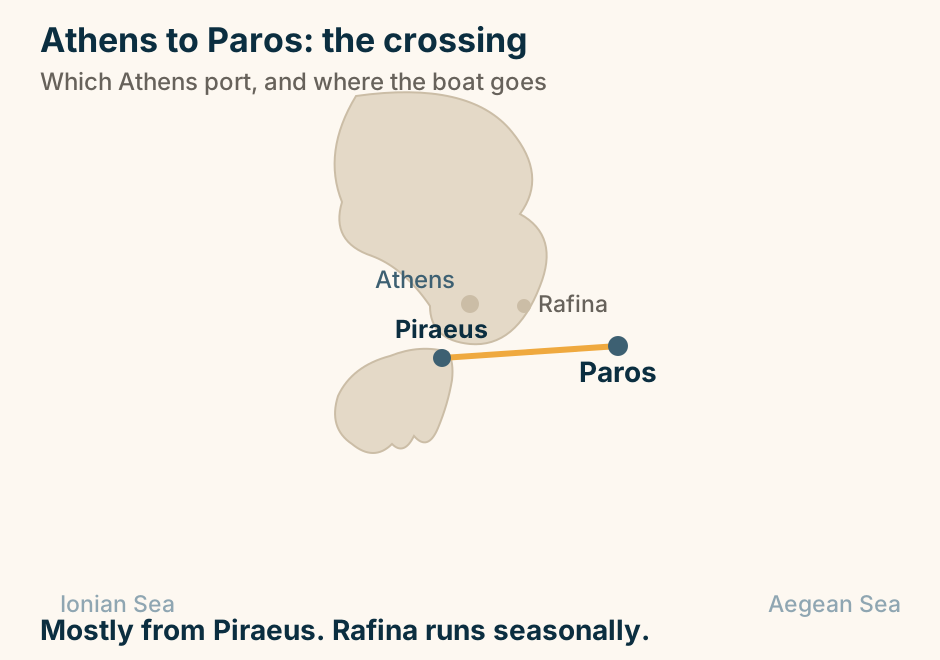
Athens to Patmos: the crossing. The departure port Piraeus is marked in bold beside Athens. A single line runs from Piraeus to Patmos, marking the crossing. A long run down the Dodecanese. No airport there. Explained on Athens to Patmos: the long way to a quiet island. SVG · CC BY 4.0.
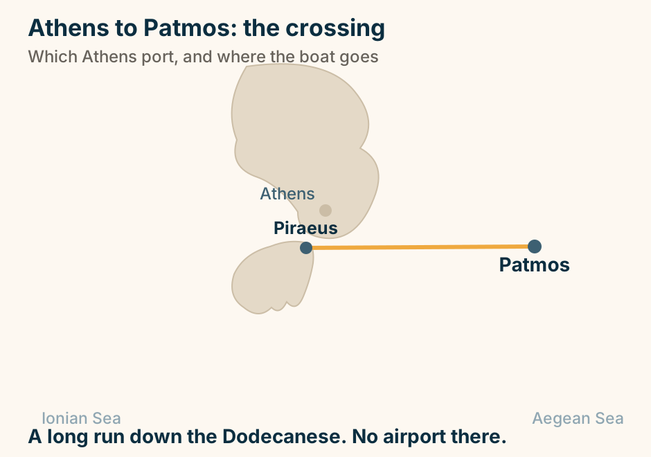
Athens to Patras at a glance. By road: Motorway most of the way. By rail: Part of the way, then bus. Why go: The ferries to Italy. The city: Arcades, and a castle stair. Onward: The whole Peloponnese. A motorway run, and a train. Explained on Athens to Patras: a motorway run to the western door. SVG · CC BY 4.0.
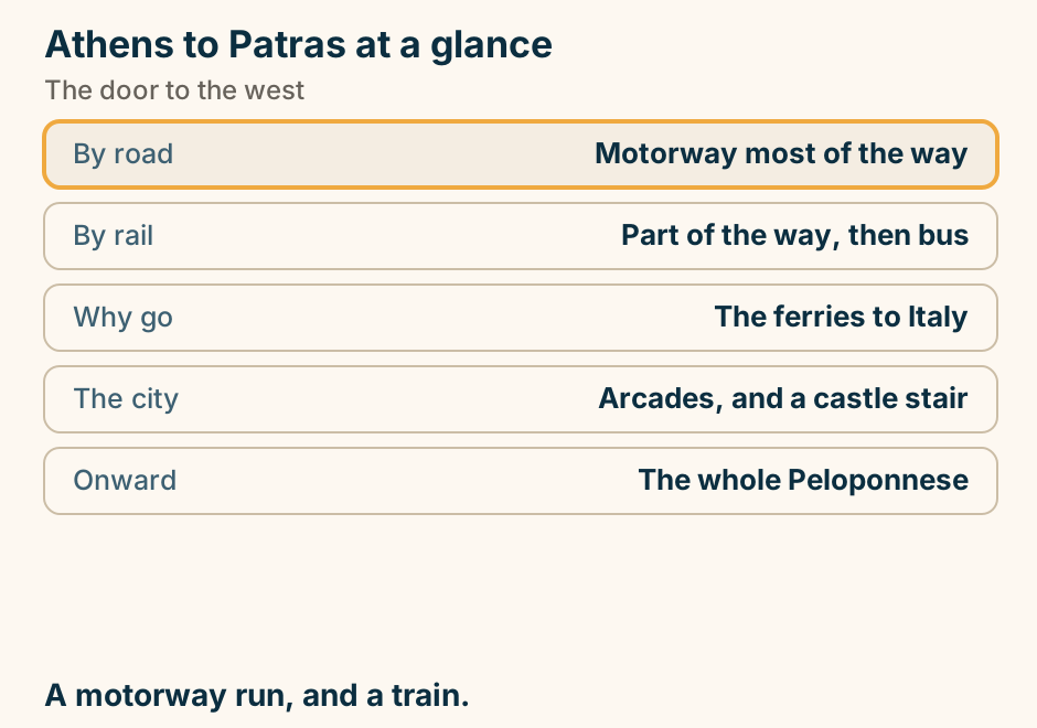
Athens to Patras: the journey. A single line runs overland from Athens to Patras, marking the journey. No sea crossing is involved. Overland to the western door and the Italy boats. Explained on Athens to Patras: a motorway run to the western door. SVG · CC BY 4.0.
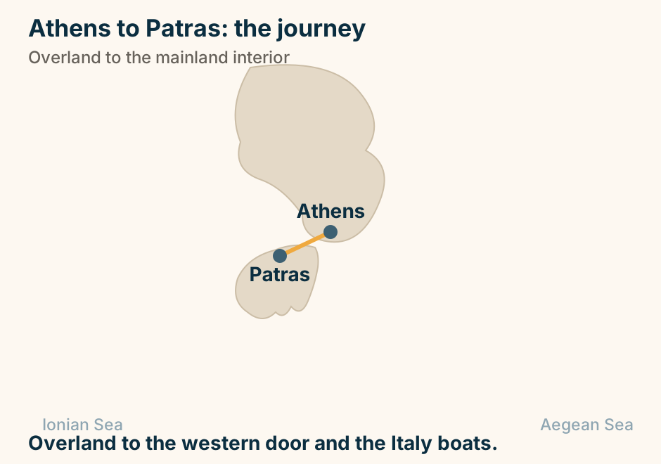
Athens to Poros at a glance. Fast boat: About an hour. Conventional: Around two and a half. By road: To Galatas, then five minutes. Behind Galatas: A forest of lemon trees. The island: Green, and easy with children. The channel is a few hundred metres. Explained on Athens to Poros: an hour by sea, or five minutes from Galatas. SVG · CC BY 4.0.
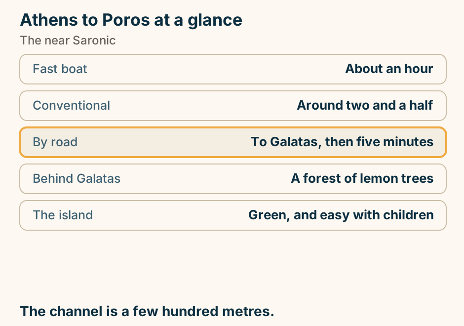
Athens to Poros: the crossing. The departure port Piraeus is marked in bold beside Athens. A single line runs from Piraeus to Poros, marking the crossing. From Piraeus, the easy end of the Saronic. Explained on Athens to Poros: an hour by sea, or five minutes from Galatas. SVG · CC BY 4.0.
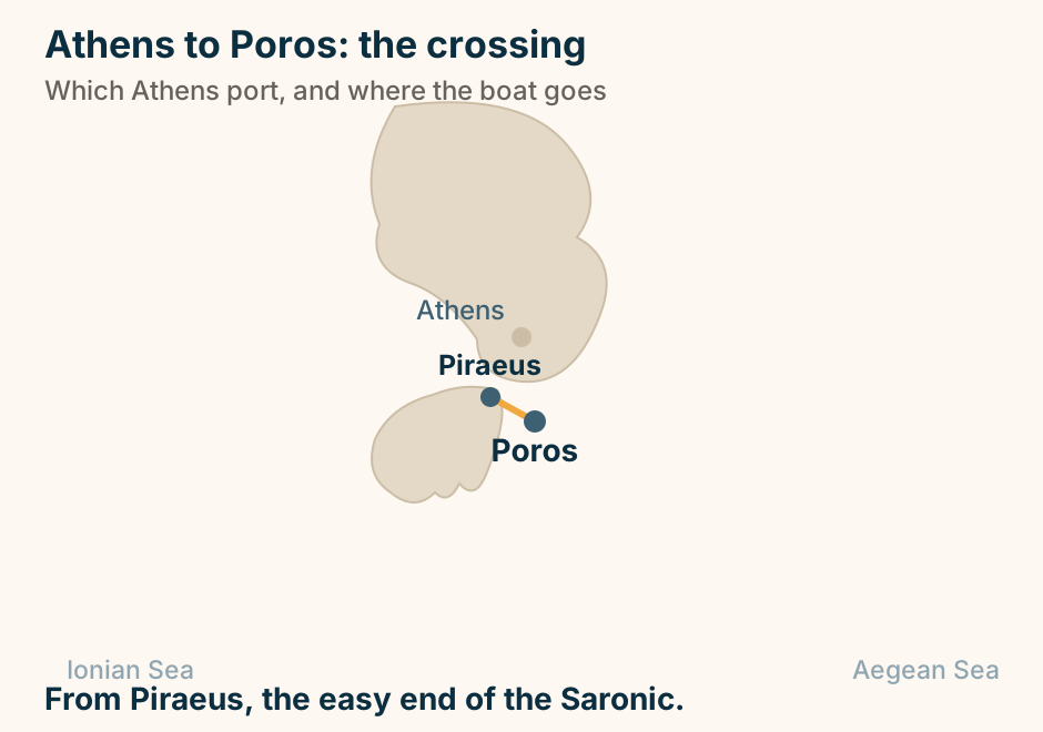
Athens to Rhodes: the crossing. The departure port Piraeus is marked in bold beside Athens. A single line runs from Piraeus to Rhodes, marking the crossing. The far south-east. Long by sea, an hour by air. Explained on Athens to Rhodes: an hour in the air, or a night at sea. SVG · CC BY 4.0.
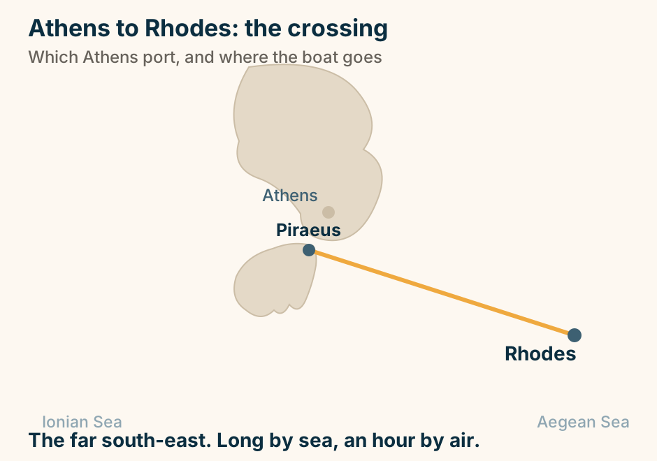
Athens to Samos at a glance. By sea: Eight to twelve hours. How it sails: Overnight. Take a cabin. By air: About an hour. Ports on the island: Three, an hour apart. The thing to see: A tunnel through a mountain. Three ports. Check which one. Explained on Athens to Samos: overnight by sea, an hour by air, three ports. SVG · CC BY 4.0.
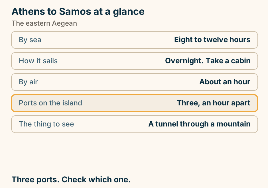
Athens to Samos: the crossing. The departure port Piraeus is marked in bold beside Athens. A single line runs from Piraeus to Samos, marking the crossing. From Piraeus, a long run east. Or fly. Explained on Athens to Samos: overnight by sea, an hour by air, three ports. SVG · CC BY 4.0.
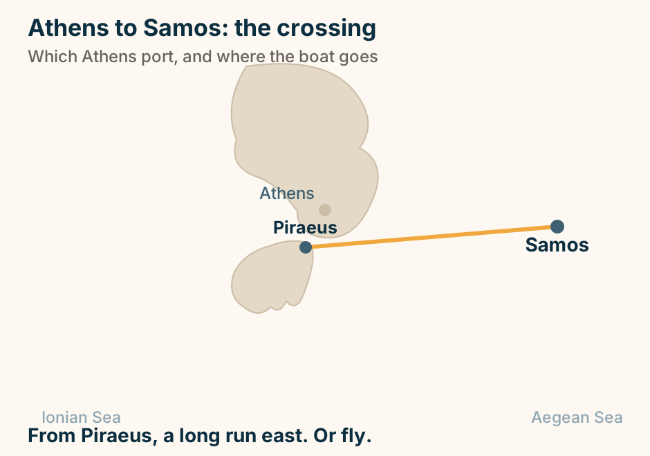
Athens to Santorini: the crossing. The departure port Piraeus is marked in bold beside Athens, with Rafina shown faintly as the other Attic port option. A single line runs from Piraeus to Santorini, marking the crossing. Mostly from Piraeus. Rafina runs seasonally. Explained on Athens to Santorini: the ferry, the flight, and how to choose. SVG · CC BY 4.0.
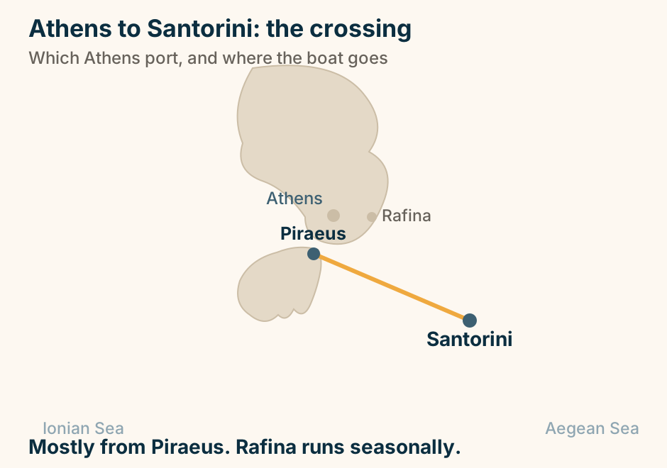
Athens to Serifos at a glance. Airport: None. Leaves from: Piraeus. Also on the line: Sifnos, Kimolos, Milos. Lands at: Livadi, below the chora. The chora: Straight up a cone of rock. One line, and no airport on it. Explained on Athens to Serifos: the western line, and nothing else. SVG · CC BY 4.0.
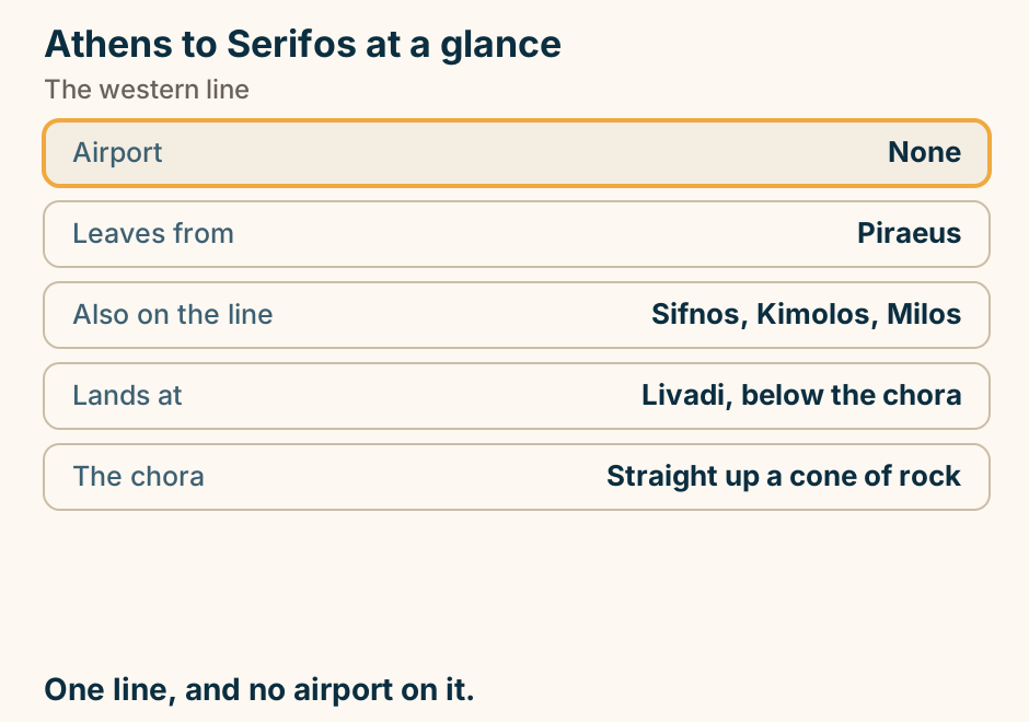
Athens to Serifos: the crossing. The departure port Piraeus is marked in bold beside Athens. A single line runs from Piraeus to Serifos, marking the crossing. From Piraeus, on the western Cyclades line. Explained on Athens to Serifos: the western line, and nothing else. SVG · CC BY 4.0.
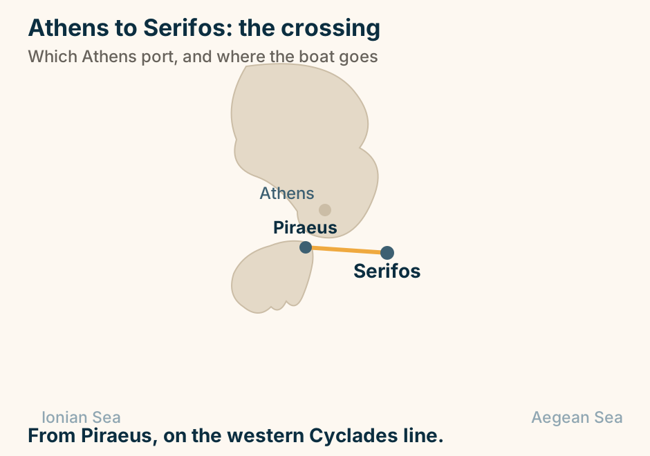
Athens to Sifnos at a glance. Airport: None at all. Leaves from: Piraeus. Also on the line: Serifos, Kimolos, Milos. Lands at: Kamares, not the capital. What it is known for: Food, and stone footpaths. One line, and no other way in. Explained on Athens to Sifnos: one line, and no airport. SVG · CC BY 4.0.
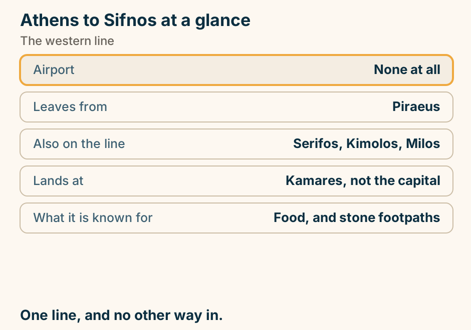
Athens to Sifnos: the crossing. The departure port Piraeus is marked in bold beside Athens. A single line runs from Piraeus to Sifnos, marking the crossing. From Piraeus, on the western Cyclades line. Explained on Athens to Sifnos: one line, and no airport. SVG · CC BY 4.0.
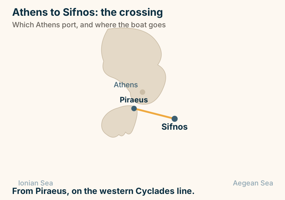
Athens to Skiathos at a glance. Not from: Piraeus. Mainland ports: Volos, Agios Konstantinos. By air: About forty minutes. The runway: Famously short. Onward: Skopelos and Alonissos. The boat leaves from Volos. Explained on Athens to Skiathos: the boat does not leave from Piraeus. SVG · CC BY 4.0.
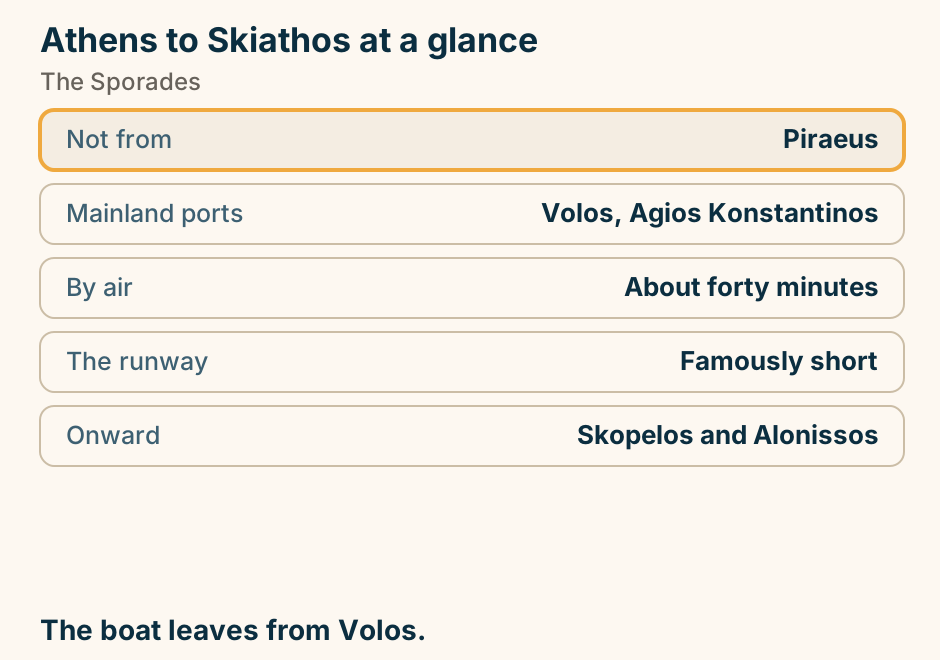
Athens to Skiathos: the journey. A dashed line runs overland from Athens across the mainland to the western port of Volos, and a solid line continues from that port out to Skiathos, showing that the crossing does not begin at Athens. Not a Piraeus route. The boat leaves from Volos. Explained on Athens to Skiathos: the boat does not leave from Piraeus. SVG · CC BY 4.0.
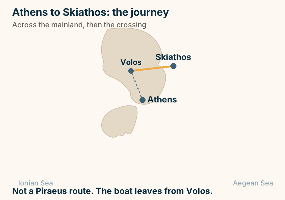
Athens to Spetses at a glance. Fast boat: Two to two and a half hours. The back door: Kosta, by road. Private cars: Restricted on the island. Instead: Water taxis and carriages. On the same line: Aegina, Poros, Hydra. Or drive to Kosta and cross in ten minutes. Explained on Athens to Spetses: the boat, or the ten-minute back door. SVG · CC BY 4.0.
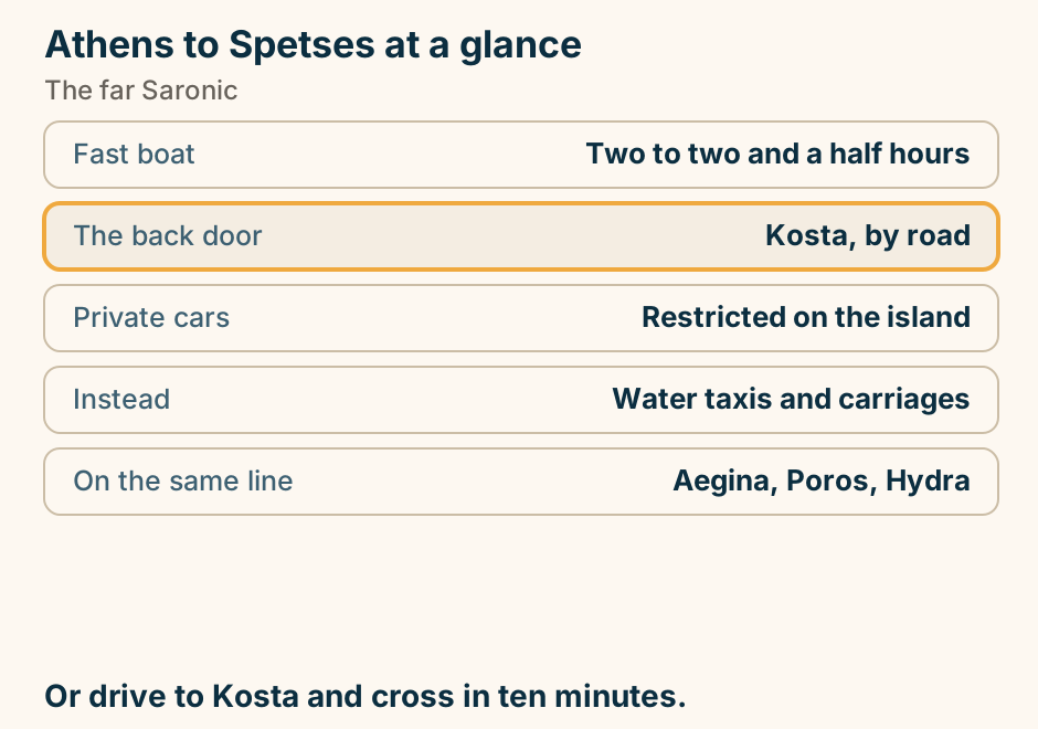
Athens to Spetses: the crossing. The departure port Piraeus is marked in bold beside Athens. A single line runs from Piraeus to Spetses, marking the crossing. From Piraeus, the far end of the Saronic. Explained on Athens to Spetses: the boat, or the ten-minute back door. SVG · CC BY 4.0.
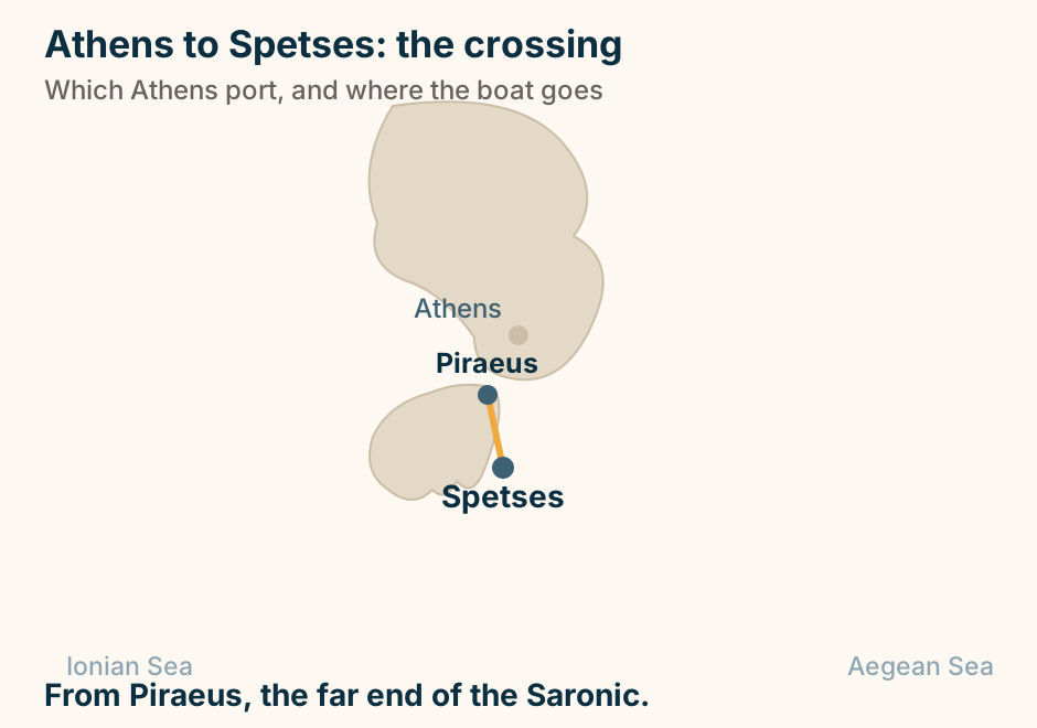
Athens to Syros at a glance. Fast boat: About two hours. Conventional: Around four. It also has: A small airport. Why it looks different: It was the main Greek port. On its two hills: One Catholic, one Orthodox. Marble squares, not white cubes. Explained on Athens to Syros: two to four hours to a very different island. SVG · CC BY 4.0.
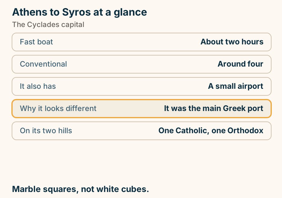
Athens to Syros: the crossing. The departure port Piraeus is marked in bold beside Athens, with Rafina shown faintly as the other Attic port option. A single line runs from Piraeus to Syros, marking the crossing. From Piraeus to the Cyclades capital. Explained on Athens to Syros: two to four hours to a very different island. SVG · CC BY 4.0.
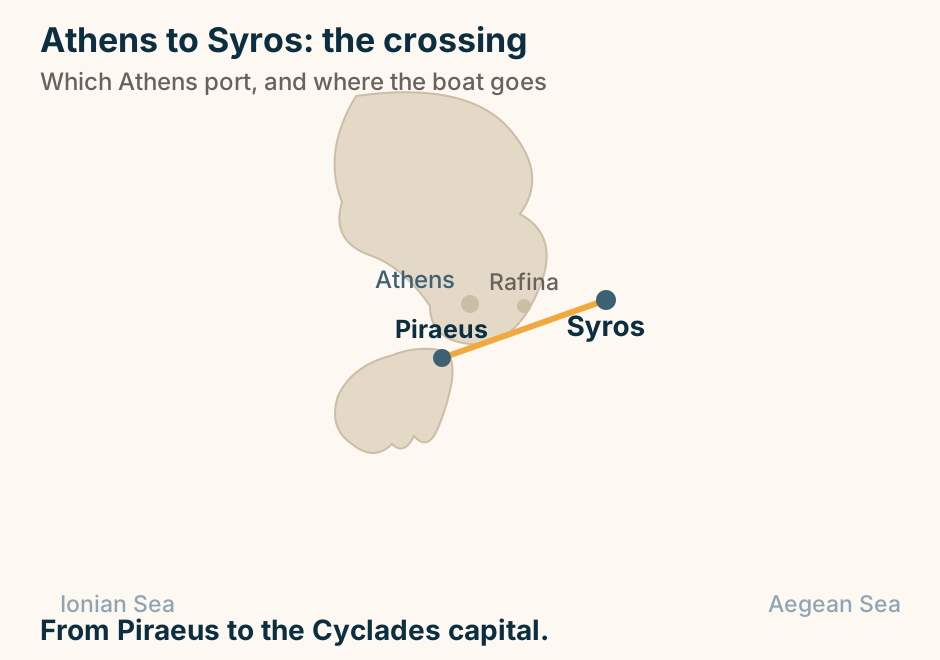
Athens to Thessaloniki: the journey. A single line runs overland from Athens to Thessaloniki, marking the journey. No sea crossing is involved. The main line north, city centre to city centre. Explained on Athens to Thessaloniki: the train is better than it looks. SVG · CC BY 4.0.
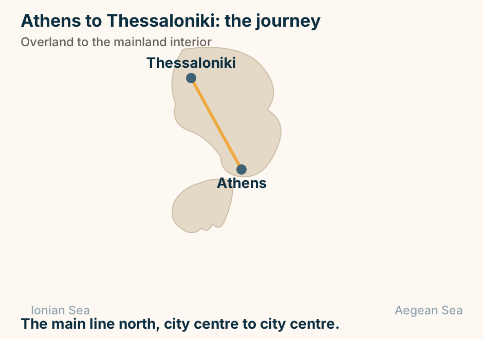
Athens to Tinos at a glance. Which port: Rafina, mostly. Fast boat: About two hours. What the island is: The great pilgrimage site. The date to know: The Dormition, in August. Inland: Marble villages and dovecotes. Rafina. Not Piraeus. They are an hour apart. Explained on Athens to Tinos: check which Athens port you need. SVG · CC BY 4.0.
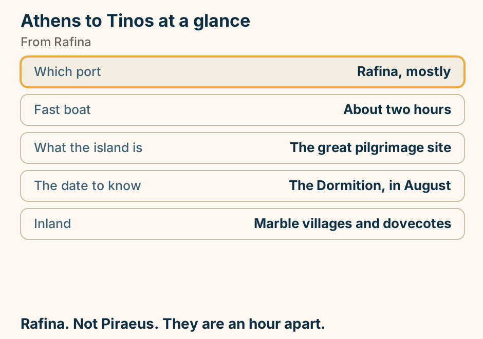
Athens to Tinos: the crossing. The departure port Rafina is marked in bold beside Athens, with Piraeus shown faintly as the other Attic port option. A single line runs from Rafina to Tinos, marking the crossing. Rafina is usually the quicker port. Piraeus also runs. Explained on Athens to Tinos: check which Athens port you need. SVG · CC BY 4.0.
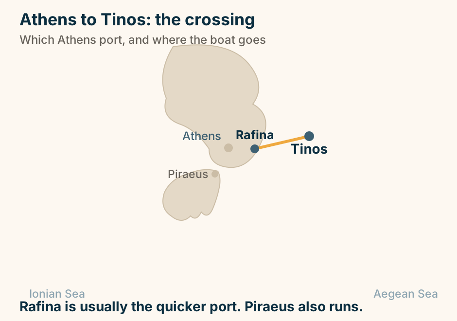
Athens to Volos at a glance. By road: About three and a half hours. By rail: A change at Larissa. The port serves: Skiathos and the Sporades. Behind the city: The Pelion, and its villages. What to eat: Tsipouro, and what comes with it. Two reasons to come: the boats, and the mountain. Explained on Athens to Volos: the port for the Sporades, and for Pelion. SVG · CC BY 4.0.
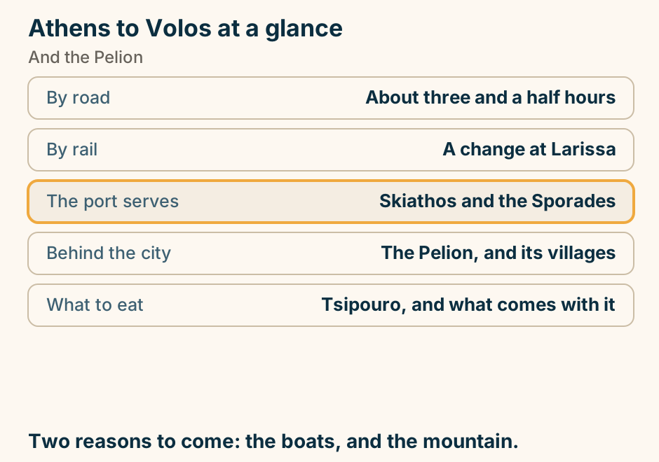
Athens to Volos: the journey. A single line runs overland from Athens to Volos, marking the journey. No sea crossing is involved. Overland to Thessaly and the Sporades gateway. Explained on Athens to Volos: the port for the Sporades, and for Pelion. SVG · CC BY 4.0.
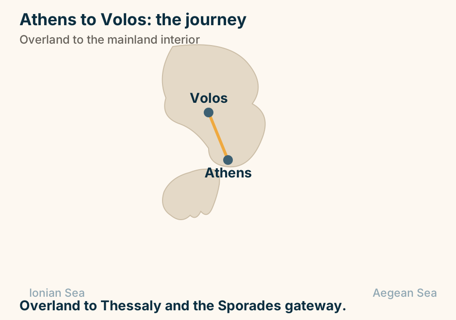
Athens to Zakynthos: the journey. A dashed line runs overland from Athens across the mainland to the western port of Kyllini, and a solid line continues from that port out to Zakynthos, showing that the crossing does not begin at Athens. Not a Piraeus route. The boat leaves from Kyllini. Explained on Athens to Zakynthos: across the Peloponnese, then a short crossing. SVG · CC BY 4.0.
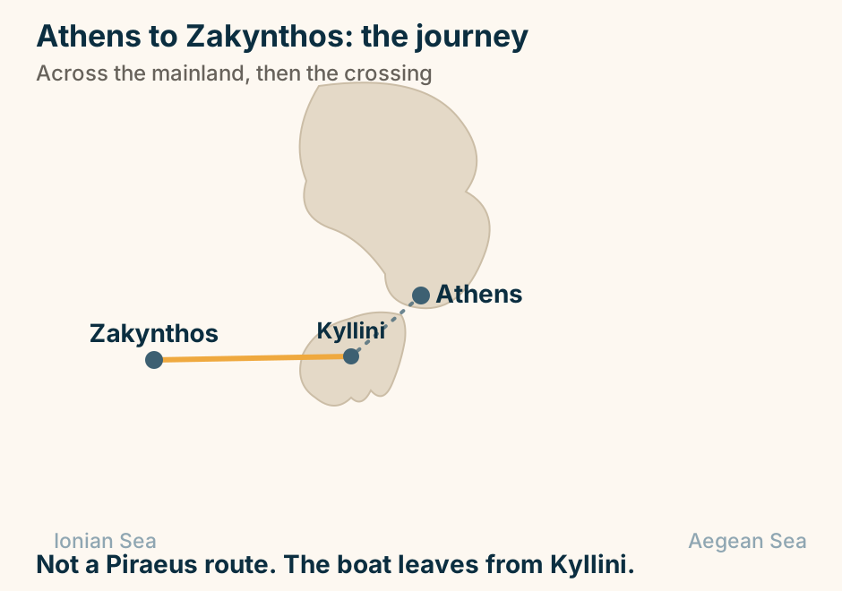
Bourtzi at a glance. What it is: A fort on the water. Has been: Fortress, then hotel. Getting out: A short boat from the quay. Time needed: Much less than Palamidi. Third fortress: Akronafplia, above town. The one you photograph. Palamidi is the one you visit. Explained on Bourtzi: the fort on the water, and what it has been. SVG · CC BY 4.0.
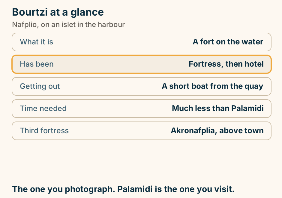
Chalkida at a glance. The oddity: The current reverses. How often: Several times a day. Explained: Broadly. Not entirely. The strait: About forty metres wide. It opens: The whole of Evia. Stand on the bridge and watch it turn. Explained on Chalkida: a tidal current that turns round, several times a day. SVG · CC BY 4.0.
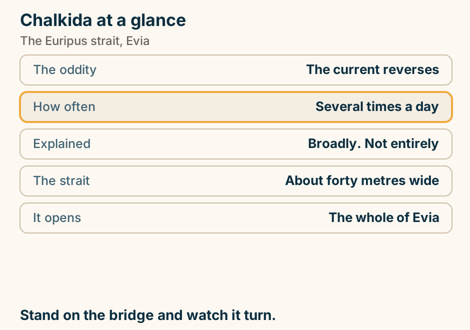
Corfu Airport to Corfu Town at a glance. The transfer: Solved. Minutes into town. The east coast: Sheltered, calm, bus-served. The west coast: Cliffs and coves. Needs a car. Kavos: Far south, and a real drive. Getting here: Fly, or cross from Igoumenitsa. The real question is the car. Explained on Corfu airport to Corfu Town: one of the shortest runs in Greece. SVG · CC BY 4.0.
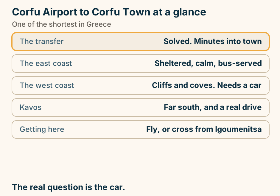
Corfu to Albania at a glance. The crossing: To Saranda, about thirty. What it is: Out of the EU and back. Documents: A passport, checked. Why people go: Butrint, a UNESCO site. Hire cars: Not allowed across. Passport. And Albania runs an hour behind. Explained on Corfu to Albania: the short crossing to Saranda. SVG · CC BY 4.0.
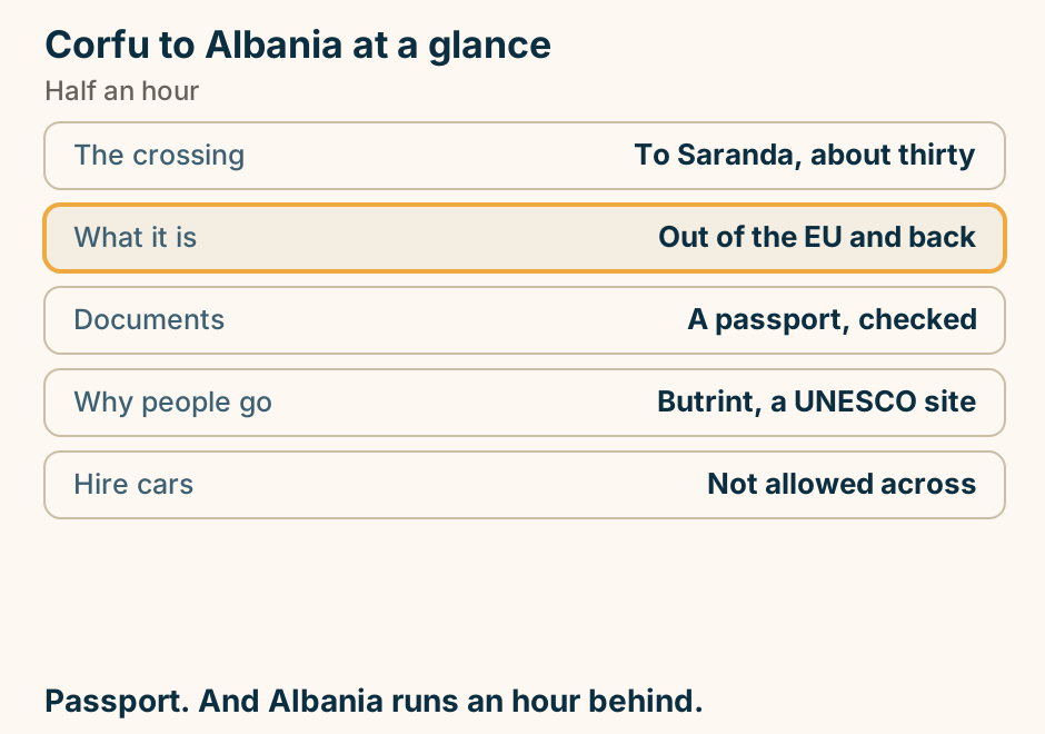
Corfu to Albania: the crossing. A single line runs from Corfu to Albania, marking the crossing. A different country, and a short crossing. Explained on Corfu to Albania: the short crossing to Saranda. SVG · CC BY 4.0.
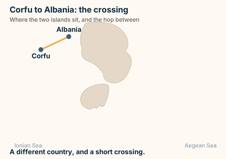
Corfu to Kefalonia: the crossing. A single line runs from Corfu to Kefalonia, marking the crossing. Down the Ionian, and rarely direct. Explained on Corfu to Kefalonia: the two ends of the Ionian. SVG · CC BY 4.0.
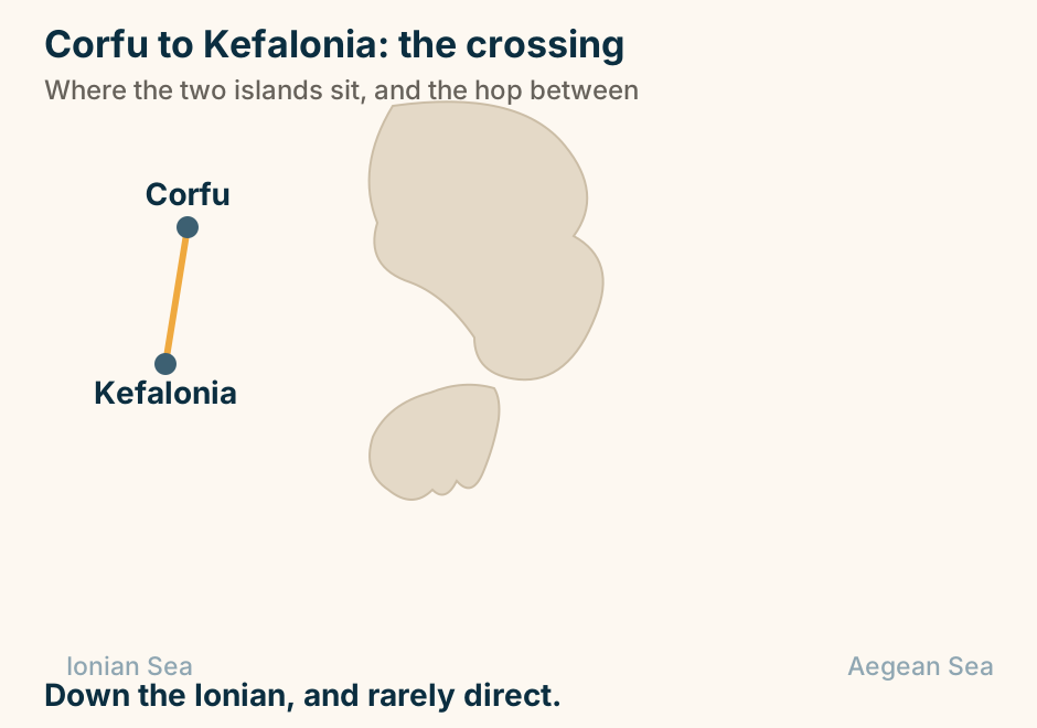
Corfu to Paxos at a glance. Fast boat: About an hour. With a car: From Lefkimhi, in the south. The day cruise: Shows caves, not the island. Just south: Antipaxos and its water. Airport: None. Boats only. Take the scheduled boat, not the cruise. Explained on Corfu to Paxos: an hour, and then a different pace. SVG · CC BY 4.0.
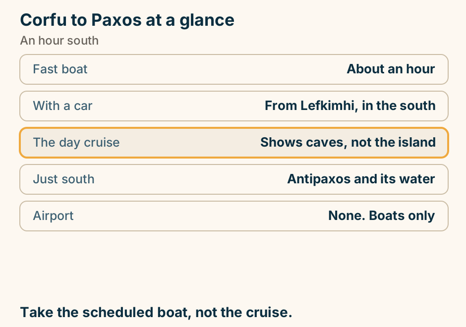
Corfu to Paxos: the crossing. A single line runs from Corfu to Paxos, marking the crossing. A short hop south from Corfu. Explained on Corfu to Paxos: an hour, and then a different pace. SVG · CC BY 4.0.
Crete to Rhodes at a glance. By sea: Most of a day. How often: A few times a week. Leaves from: Eastern Crete, not Heraklion. Calls at: Kasos and Karpathos. By air: About an hour. Fly, unless you want Karpathos. Explained on Crete to Rhodes: the boat is a whole day, the plane is an hour. SVG · CC BY 4.0.
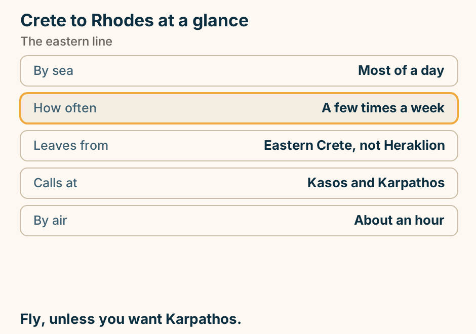
Crete to Rhodes: the crossing. A single line runs from Crete to Rhodes, marking the crossing. Along the south, and not every day. Explained on Crete to Rhodes: the boat is a whole day, the plane is an hour. SVG · CC BY 4.0.
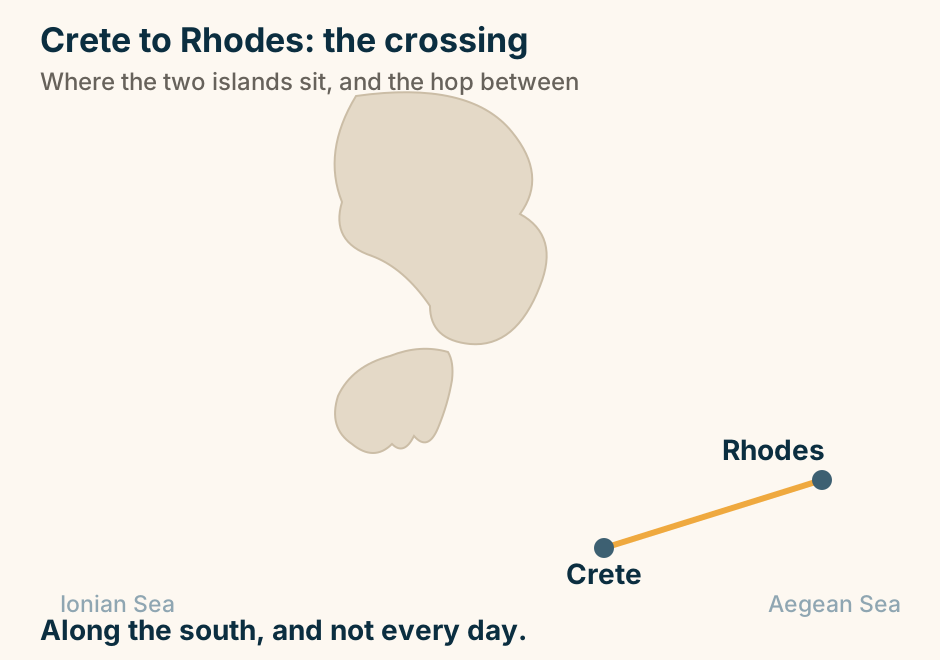
Crete to Santorini: the crossing. A single line runs from Crete to Santorini, marking the crossing. A direct crossing. The fast boats are seasonal. Explained on Crete to Santorini: the crossing that saves you a day. SVG · CC BY 4.0.
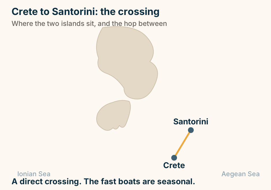
Dimitsana at a glance. What it is: A stone village on a ridge. What it made: Gunpowder, for the revolution. The museum: Working water-powered mills. Below it: Monasteries built into cliffs. The gorge walk: Half a day, real ascent. A mountain village that ran on water power. Explained on Dimitsana: gunpowder, watermills and cliff monasteries. SVG · CC BY 4.0.
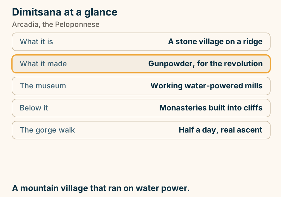
Dion at a glance. What it was: The sacred city of Macedon. The oddity: Parts stand in water. The mosaic: Dionysos, in a Roman villa. In the museum: The oldest known organ. In summer: Mosquitoes, genuinely. A sanctuary that is green, and partly under water. Explained on Dion: a sanctuary at the foot of Olympus, half under water. SVG · CC BY 4.0.
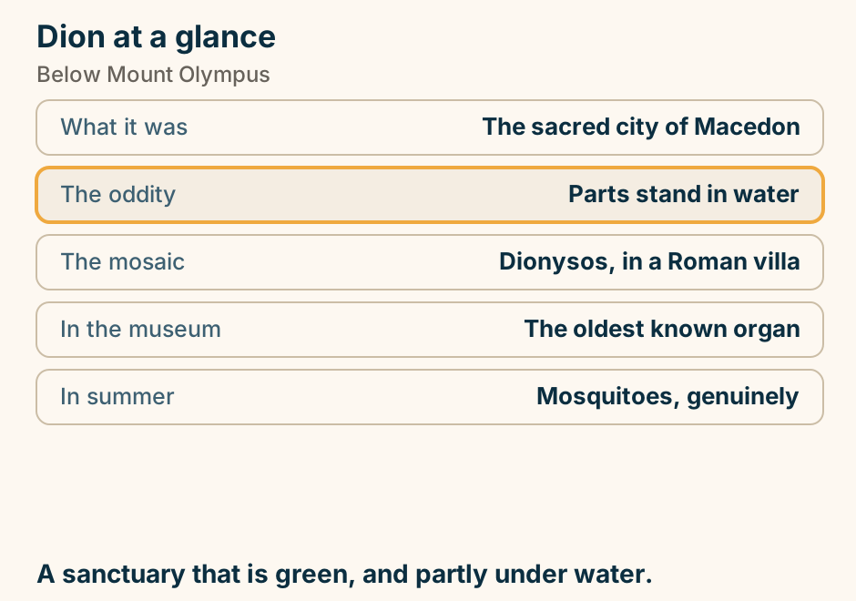
Donousa at a glance. What it is: The most isolated of the group. The constraint: Ferries, not distance. The village: One harbour, ten minutes wide. Off Kedros: A wartime wreck, shallow. Walking: Marked paths, no water. Work out how you leave before you arrive. Explained on Donousa: one harbour, a few beaches, and thin ferries. SVG · CC BY 4.0.
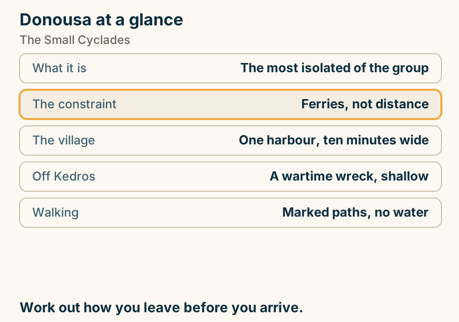
Drama at a glance. Its centre: Springs rising into pools. On the plain: A serious wine region. Above it: An old-growth border forest. And a ski centre: On Falakro. At Christmas: The busiest weeks. A town park where the water table surfaces. Explained on Drama: a town park where the water comes out of the ground. SVG · CC BY 4.0.
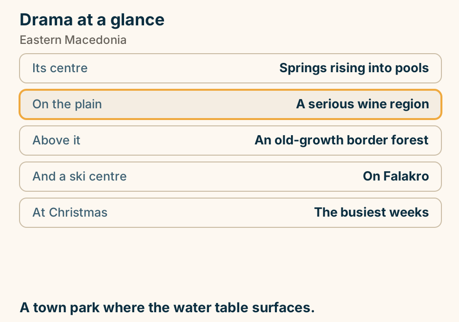
Edessa at a glance. What it is: A town on a cliff lip. Its rivers: Go over the edge of it. You can walk: Behind the largest fall. The old quarter: Varosi, on the cliff edge. Reachable by: Train, unusually. A town that ends in a waterfall. Explained on Edessa: a town that ends in a waterfall. SVG · CC BY 4.0.
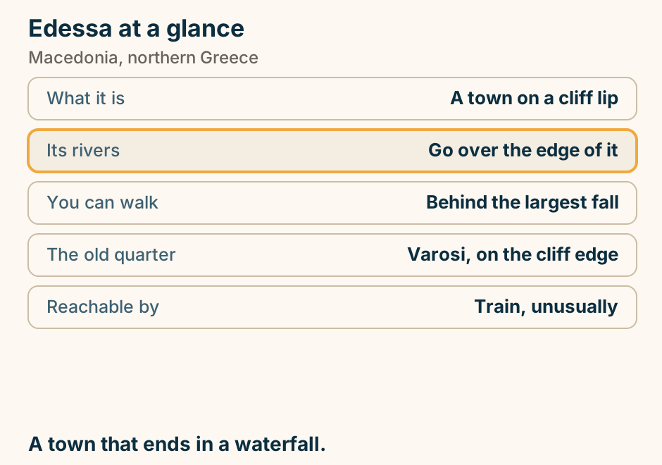
Edipsos at a glance. What it is: The best-known Greek spa. The good part: Hot water runs into the sea. And it is: Free, and open any hour. Behind it: Grand, faded spa hotels. Out of season: Still busy, unusually. Sit where the hot stream meets the cold sea. Explained on Edipsos: hot water straight into the Aegean. SVG · CC BY 4.0.
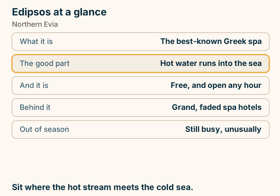
Elafonisos at a glance. Getting there: A ten-minute car ferry. Why people come: Simos, a double sand bay. Behind it: Protected dunes. In August: Very busy, parking included. Offshore: A sunken Bronze Age town. One village, and a beach worth the drive. Explained on Elafonisos: one village, and a beach people cross the country for. SVG · CC BY 4.0.
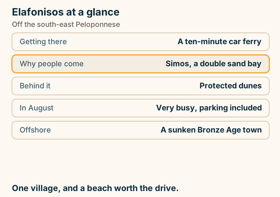
Eleusis at a glance. What happened: A mystery initiation rite. What we know: Almost nothing. Nobody told. The building: A hall facing in on itself. Around it now: Refineries and a shipyard. From Athens: Half an hour west. Two thousand years of initiates, and no leak. Explained on Eleusis: two thousand years of initiates, and no leak. SVG · CC BY 4.0.
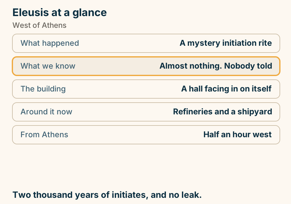
Epidaurus at a glance. The theatre: The best preserved anywhere. Its acoustics: A coin drop carries. Still used: Ancient drama in summer. Around it: A healing sanctuary. Most visitors: Skip that half. Give the sanctuary more time than the theatre. Explained on Epidaurus: the acoustics, and the hospital they belonged to. SVG · CC BY 4.0.
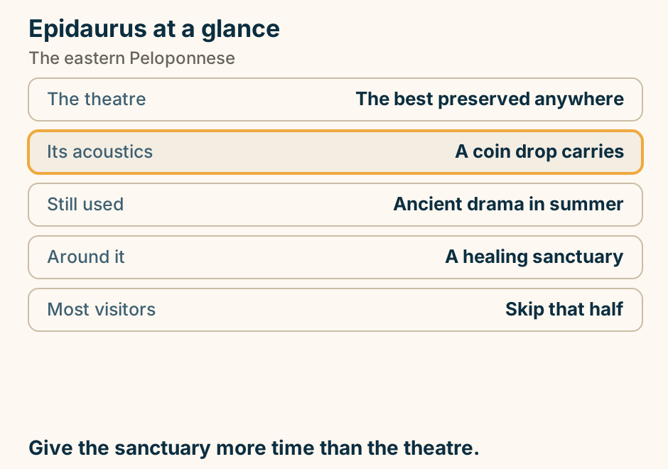
Ermioni at a glance. Its shape: A headland, sea both sides. At the tip: A pine point, undeveloped. Around it: A shaded loop path. From the quay: Fast boats to Hydra. The town: Residential, not a resort. Mainland prices, island twenty minutes away. Explained on Ermioni: a pine point, with water either side of it. SVG · CC BY 4.0.
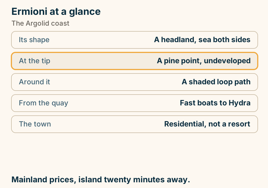
Ermoupoli at a glance. What it is: Capital of the Cyclades. The style: Neoclassical, not whitewash. Not built for: The view. Above it: Two hills, two faiths. Suits: A different traveller. A working city that happens to be on an island. Explained on Ermoupoli: a city that happens to be on an island. SVG · CC BY 4.0.
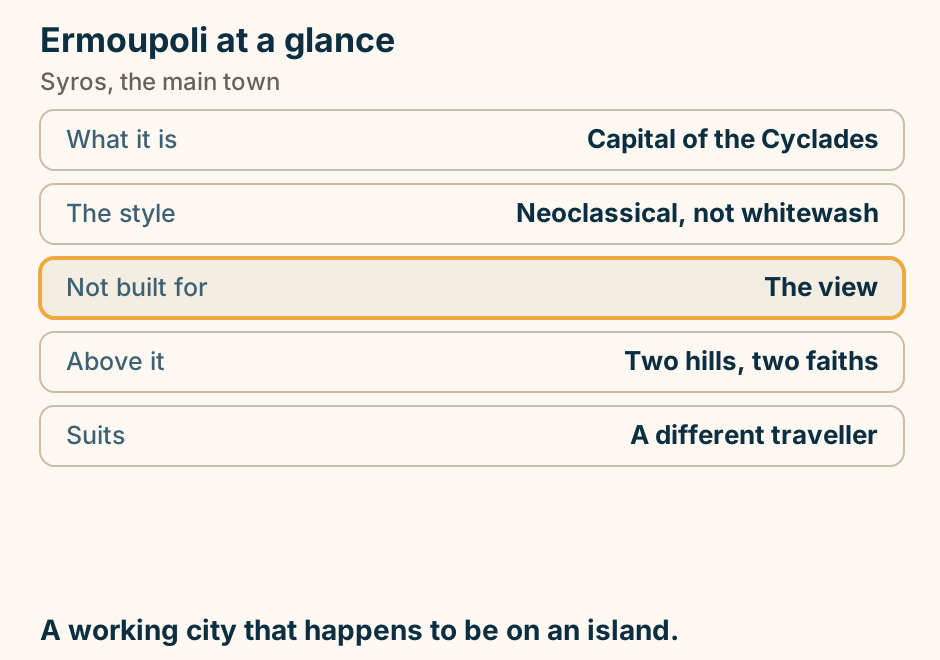
Florina at a glance. Known for: Its red peppers. And for: Among Greece’s hardest winters. Forty-five minutes on: The Prespa lakes. Which hold: The largest pelican colony. On an island: A tenth-century basilica. Peppers and snow, and lakes past the town. Explained on Florina: red peppers, real winter, and the lakes past it. SVG · CC BY 4.0.
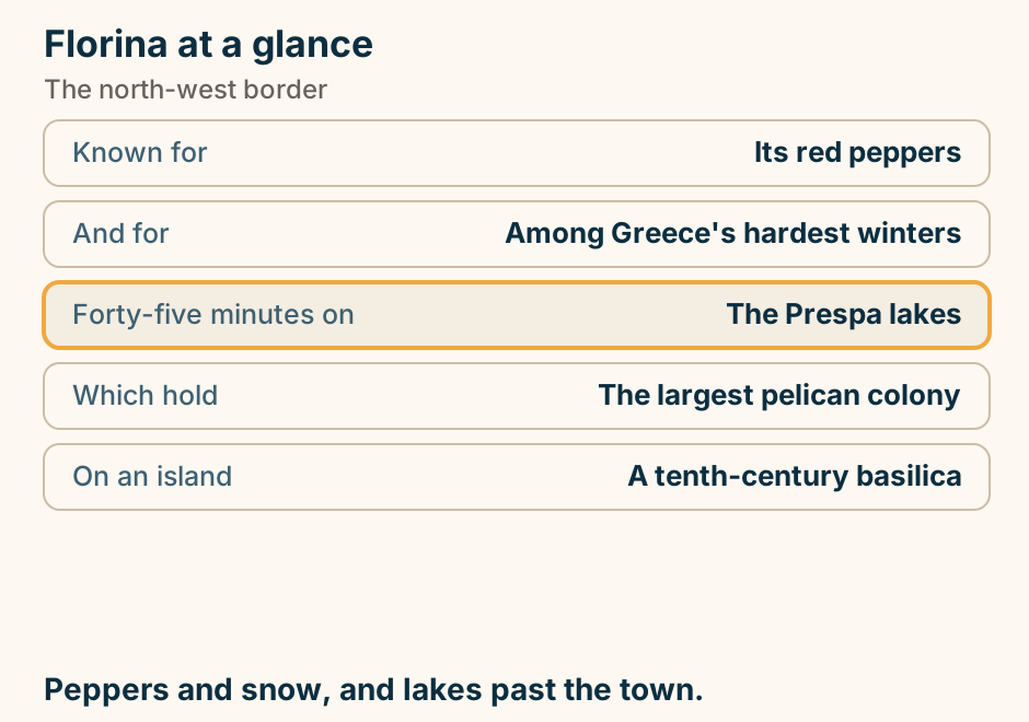
Fourni at a glance. What it is: A working fishing archipelago. Which means: The seafood is the reason. Beneath it: Dozens of ancient wrecks. Diving them: Protected. Not permitted. The shore: Coves, mostly empty. A fishing economy, so eat the fish. Explained on Fourni: a fishing island, and a seabed full of wrecks. SVG · CC BY 4.0.
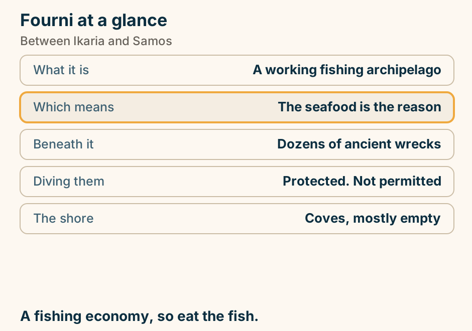
Galaxidi at a glance. What it was: A great sailing-ship port. What stopped it: Steam replacing sail. What is left: Captains’ stone mansions. Half an hour away: Delphi. Swimming: Off rocks, not beaches. Preserved by economics, not by policy. Explained on Galaxidi: a town that stopped when the sailing ships did. SVG · CC BY 4.0.
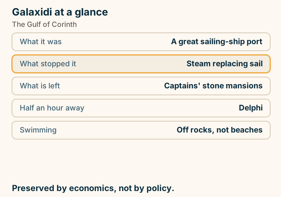
Gateway towns and the villages they serve. A schematic map of mainland Greece, not to scale. Four gateway towns are joined by thin lines to the village regions they serve: Ioannina to Zagori and to Metsovo, Volos to Pelion, Athens to Arachova, to the Arcadian villages and to Monemvasia, and Kalamata to the Mani. Arrive at the gateway, then drive to the villages. Explained on Greece villages: which to build a trip around, and how to reach them. SVG · CC BY 4.0.
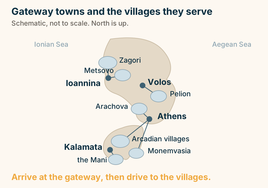
Gavdos at a glance. What it is: The southernmost land in Europe. The constraint: Ferries cancel in wind. The culture: Long, slow stays. At the tip: A rock arch, and a huge chair. Bring: Cash. And water. The ferry decides how long you stay. Explained on Gavdos: Europe stops here. SVG · CC BY 4.0.
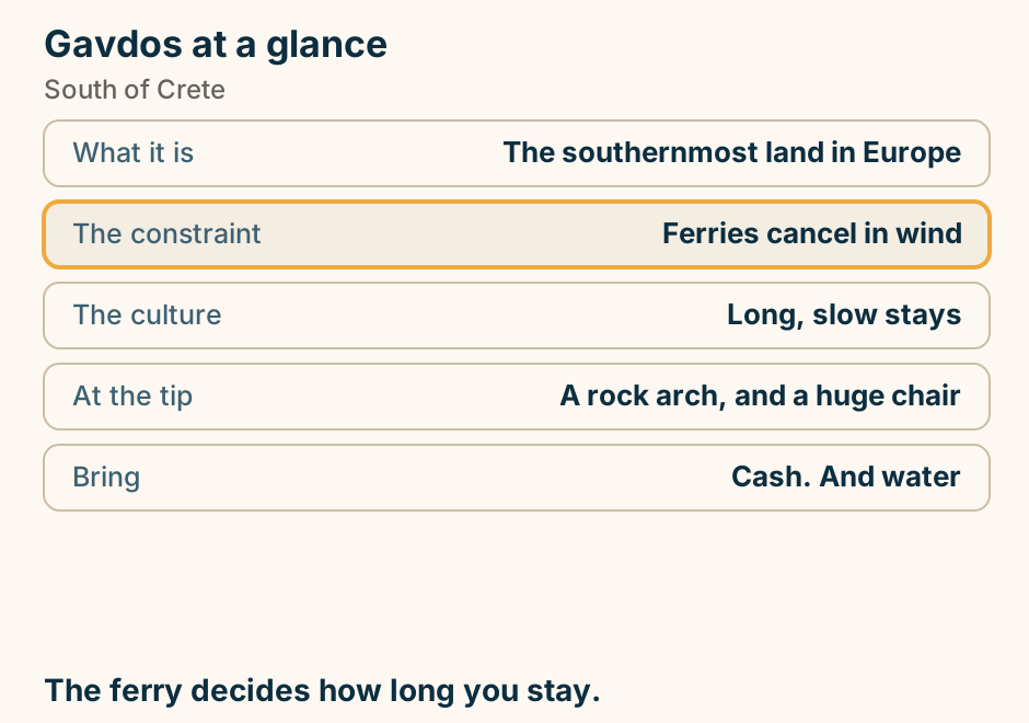
Great Meteoron at a glance. Properly: The Transfiguration. Founded: The fourteenth century. Position: Highest of them all. Governs the visit: Each house closes a weekday. Dress code: Enforced. The oldest and largest. Go on a day it is open. Explained on Great Meteoron: the oldest, the largest, and the highest. SVG · CC BY 4.0.
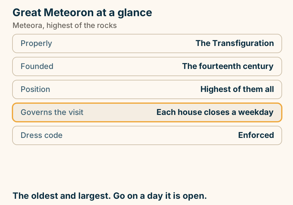
Gythio at a glance. What it is: A tiered port town. Its use: The base for the top Mani. A causeway to: A small lighthouse island. Up the beach: A rusted wreck on the sand. Ferries to: Kythira, and on to Crete. A working port, not a resort. Explained on Gythio: pastel tiers, a causeway, and a wreck on the beach. SVG · CC BY 4.0.
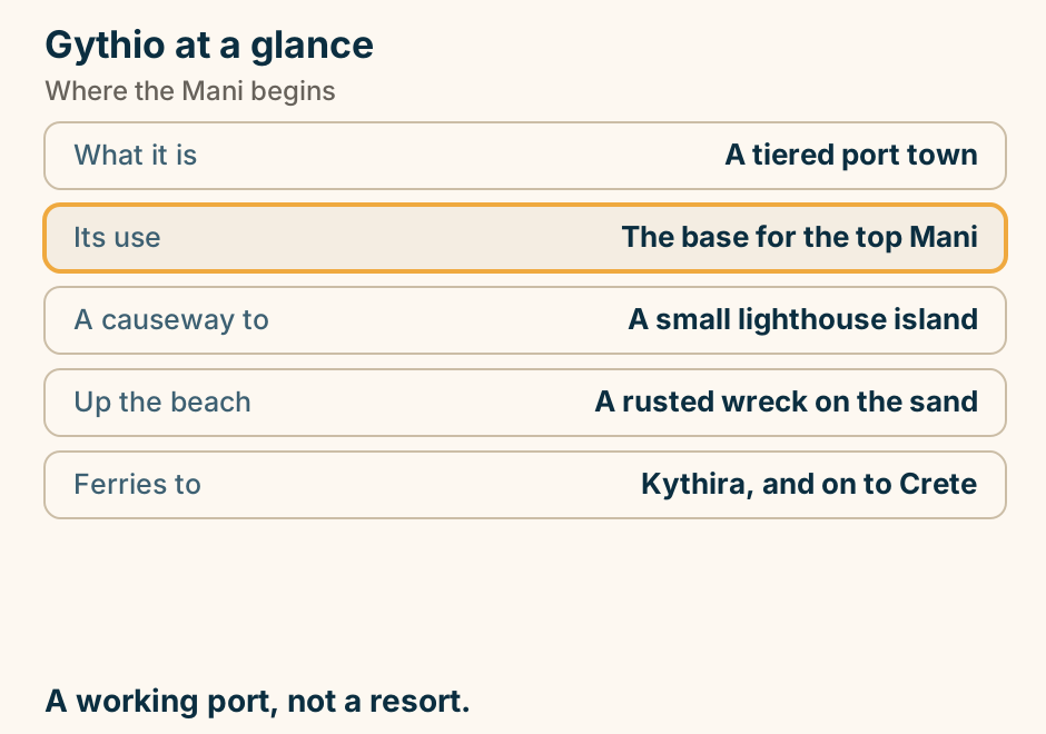
Heraklion Airport to Chania at a glance. The rule: West base, fly Chania. Heraklion HER: The centre and the east. Chania CHQ: The west, out near Souda. Rethymno: Works from either. Whole island: Fly open-jaw, never double back. West base, fly Chania instead. Explained on Heraklion airport to Chania: the two-hour mistake. SVG · CC BY 4.0.
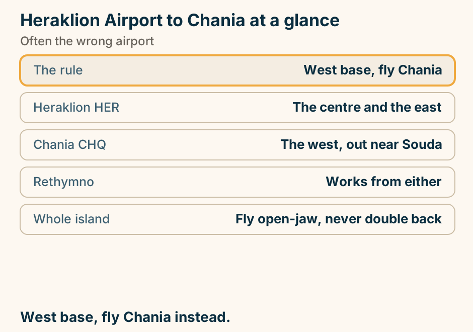
Igoumenitsa at a glance. What it is: The western ferry port. To Corfu: About ninety minutes. To Italy: Overnight sailings. The town: Built to move vehicles. Go instead to: Sivota or Parga. A port that is a port. Sleep elsewhere. Explained on Igoumenitsa: a port that is a port, and little else. SVG · CC BY 4.0.
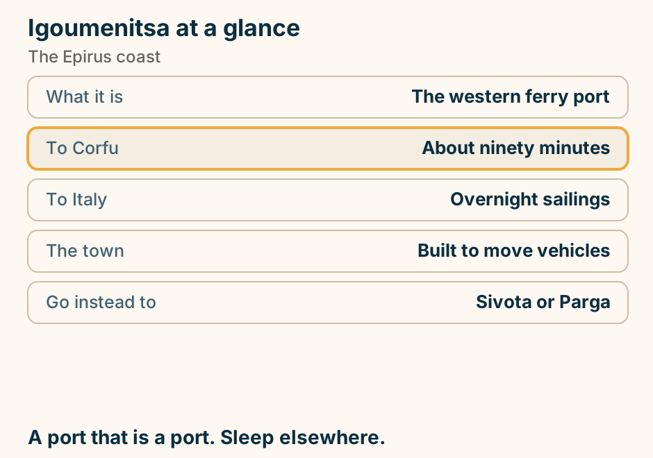
In Chania the area you sleep in shapes the trip more than the property does. A schematic of the Chania coast with the sea at the top and west on the left. Four zones sit along the shore. Furthest west is the resort strip. Next comes Nea Chora on the beach side. In the centre is the Old Town, the Venetian harbour quarter, marked as the anchor you orient from. East of it lie Koum Kapi, Halepa and Tabakaria. Two direction arrows leave the eastern end of town: one east to Souda port, one northeast to Chania airport on Akrotiri. Below the coast strip, the same four zones are set out as rows. Old Town is the atmosphere choice, its places being the Venetian harbour quarter. Nea Chora is the beach and value choice, the beach side a short walk west of the harbour. Koum Kapi, Halepa and Tabakaria are the quiet choice, east along the shore, quieter and more local. The west resort strip is the resort choice, running through Agioi Apostoli, Kato Stalos, Stalos, Agia Marina and Platanias. Decide the zone, then shortlist rooms inside it. Explained on Where to stay in Chania: choose your area first. SVG · CC BY 4.0.
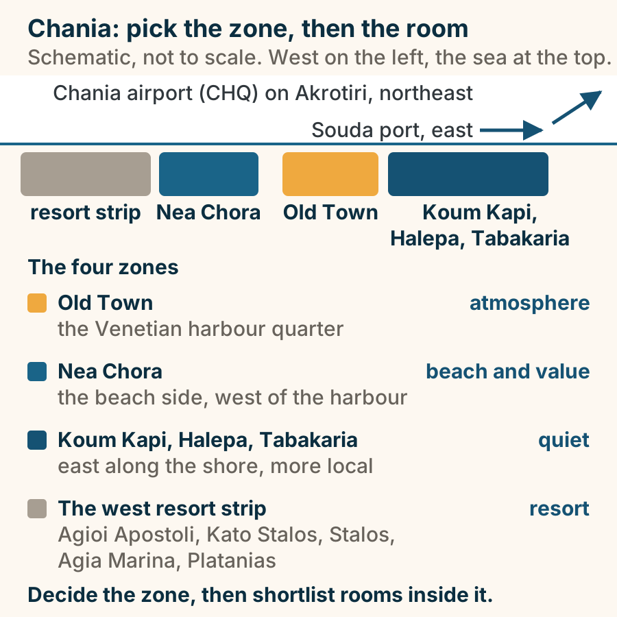
Ioannina at a glance. What it is: The capital of Epirus. Its old town: An Ottoman walled citadel. In the lake: An inhabited island. Told through: Ali Pasha, unromanticised. Behind it: Zagori and the Vikos gorge. A lake city, and the door to the Zagori. Explained on Ioannina: a walled citadel on a lake, in the mountains. SVG · CC BY 4.0.
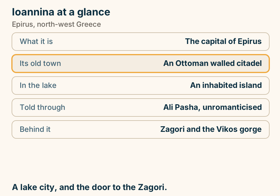
Iraklia at a glance. What it is: The quietest of the group. Its one sight: A large unlit cave. Reaching it: Two hours on foot, no water. Settlements: Two, and one is mostly empty. Facilities: Few. No bank. The least to do, which is the specification. Explained on Iraklia: two settlements, a cave, and very little else. SVG · CC BY 4.0.
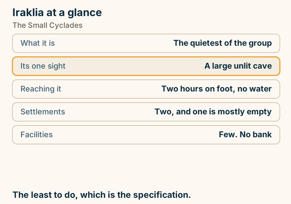
Kalamata at a glance. What it is: The base for the south-west. Why: The airport and the roads. The seafront: Four kilometres of it. The market: The best in the region. Within an hour: The Mani, Methoni, Messene. A base, and almost everything is an hour away. Explained on Kalamata: the base you fly into for the southern Peloponnese. SVG · CC BY 4.0.
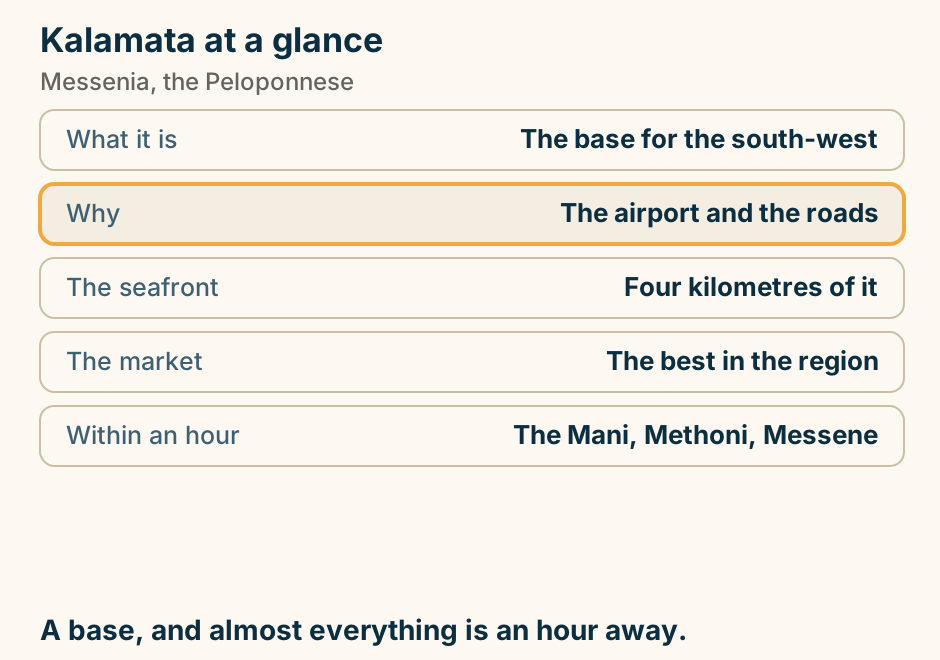
Kalamos at a glance. What it is: A steep pine island. Settlements: One harbour village. Who comes: Sailors, mostly. Getting there: A short ferry from Mytikas. The neighbour: Kastos, smaller still. A mountain in the sea, and one village. Explained on Kalamos: a mountain in the sea, with one village on it. SVG · CC BY 4.0.
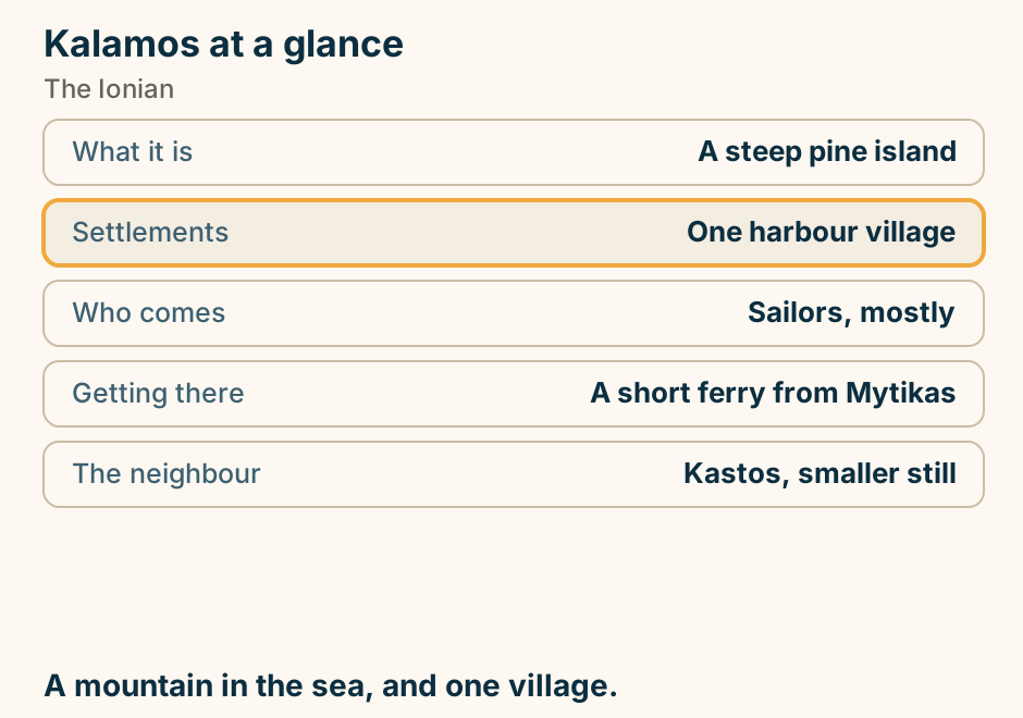
Kalavryta at a glance. The rack railway: Suspended for now. That line: Tunnels, ledges, an hour. You can also: Walk the gorge in a day. The town remembers: A wartime reprisal. Above it: A ski centre on Helmos. Check the railway first. Explained on Kalavryta: the train up the gorge, and the clock that stopped. SVG · CC BY 4.0.
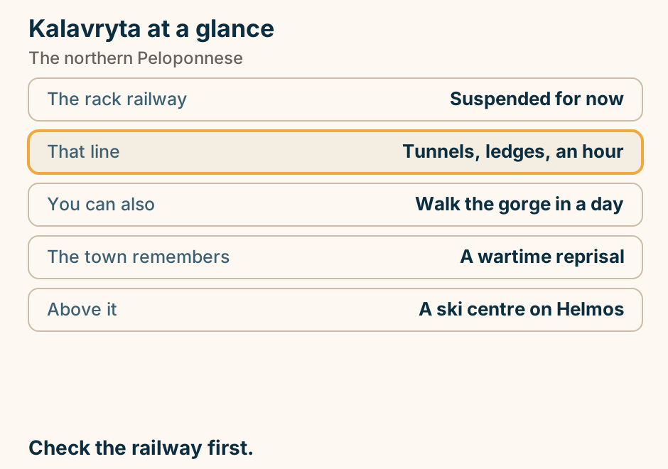
Kalymnos at a glance. It was: The sponge-diving island. It is now: A major climbing area. The season: Spring and autumn rock. Across the strait: Telendos, no cars. Arrive via: Kos, a short hop. Two economies, both made of the same rock. Explained on Kalymnos: a sponge island that became a climbing one. SVG · CC BY 4.0.
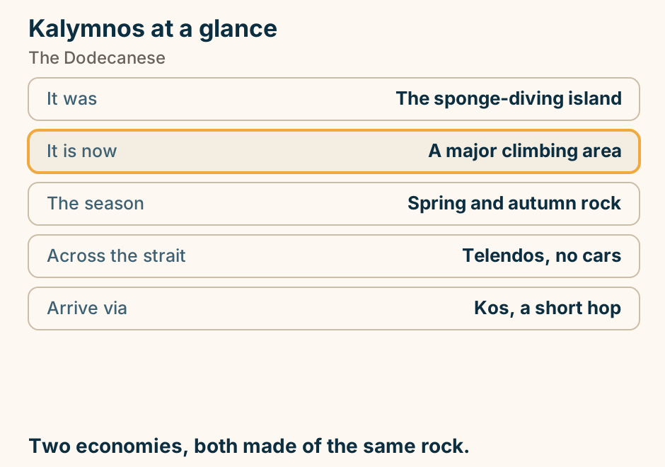
Kardamyli at a glance. Where it is: Where the Mani is still green. Behind it: The Viros gorge, walkable. Above it: A walled medieval quarter. Nearby: A famous writer’s house. The shore: Pebble, clear and cold. The soft end of a hard peninsula. Explained on Kardamyli: the soft end of a hard peninsula. SVG · CC BY 4.0.
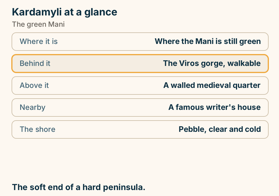
Karpenisi at a glance. What it is: Fir forest and river valleys. Who goes: Greeks, almost only. In spring: Rafting on the snowmelt. In winter: A ski centre at Velouchi. North of it: The Agrafa, the wildest range. The mountains Greeks go to, and nobody else. Explained on Karpenisi: fir forest, rivers and a Greek-only clientele. SVG · CC BY 4.0.
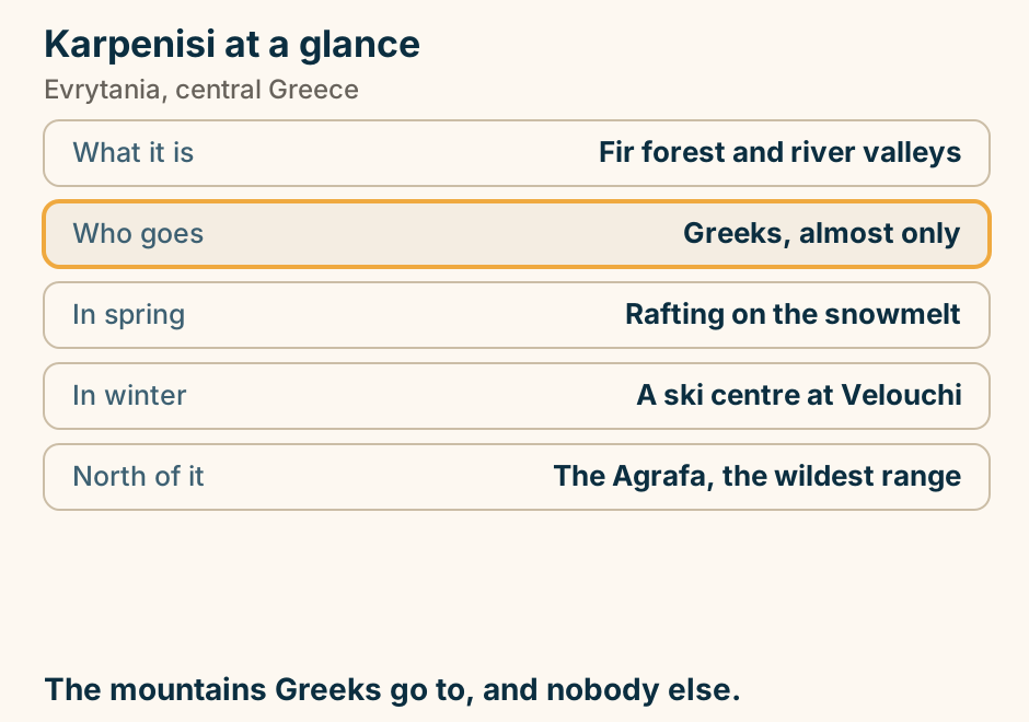
Karystos at a glance. The town: Planned, on a grid. On the mountain: Prehistoric stone dragon houses. Nobody knows: What they were for. Also up there: Roman marble quarries. In them: Unfinished columns, still lying. A planned grid, under a very odd mountain. Explained on Karystos: a grid town, a sea fort, and dragon houses above. SVG · CC BY 4.0.
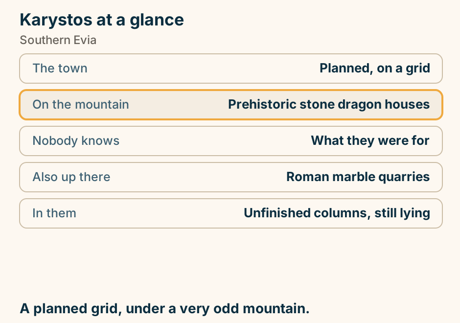
Kasos at a glance. What it is: Small, bare, barely visited. Its history: Shipping, and a hard one. Its people: A diaspora far larger. Busiest: August, and mostly Kasiot. Connections: Sparse, weather-dependent. An island with a story rather than sights. Explained on Kasos: five villages, a hard history and no crowds. SVG · CC BY 4.0.
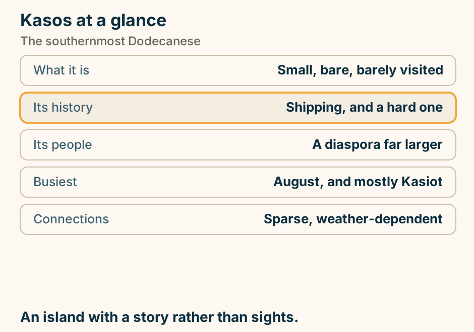
Kastellorizo at a glance. Where it is: The easternmost point. How far: Two km off Turkey. The harbour: Larger than the town needs. Because: Most people left, for Australia. By boat: A very blue sea cave. One harbour, at the end of the country. Explained on Kastellorizo: one harbour, at the end of the country. SVG · CC BY 4.0.
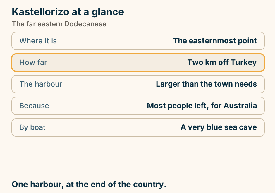
Kastoria at a glance. Where it sits: On a peninsula in a lake. What it holds: Fifty Byzantine churches. Getting in: A keyholder, usually. Its trade: Fur, since Byzantine times. On the shore: A prehistoric lake village. Fifty churches on a peninsula in a lake. Explained on Kastoria: fifty Byzantine churches, and a lake around them. SVG · CC BY 4.0.
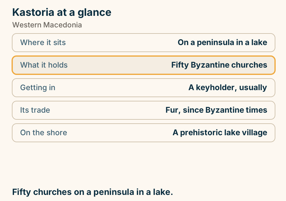
Katakolo at a glance. Its job: The cruise port for Olympia. With ships in: A wall of souvenir shops. With none: A quiet fishing village. Worth an hour: An ancient-technology museum. Just north: Kilometres of empty sand. Check whether a ship is in. It decides everything. Explained on Katakolo: a small harbour that lands very large ships. SVG · CC BY 4.0.
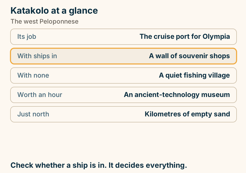
Katerini at a glance. What it is: A working plain town. Why stay: Beach and mountain in one base. The coast: Long, flat and sandy. Twenty minutes: Dion and Litochoro. In August: The Balkans arrive. Sand one way, Olympus the other. Explained on Katerini: sand on one side, Olympus on the other. SVG · CC BY 4.0.
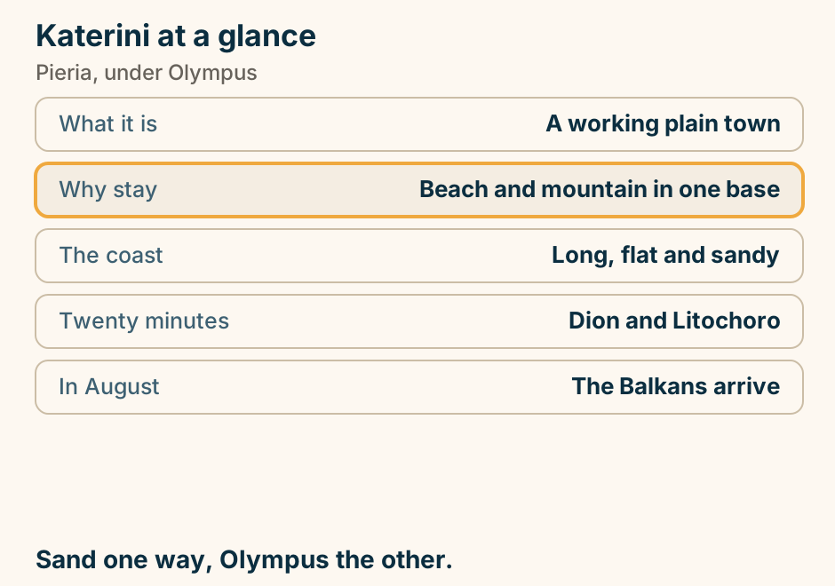
Kavala at a glance. What it is: A working northern port. Across the centre: A two-tier aqueduct. On the headland: An Ottoman quarter, a castle. Twenty minutes off: Roman Philippi. From the quay: The ferry to Thassos. A city with an aqueduct through the middle of it. Explained on Kavala: a city with an aqueduct through the middle of it. SVG · CC BY 4.0.
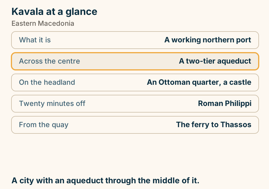
Kefalonia to Ithaca at a glance. The crossing: One of the shortest. Leaves from: Sami, or Fiskardo. Takes cars: Yes, and that matters. Lands at: Piso Aetos, or Vathy. On arrival: Little, and that is the point. Short, and it takes cars. Explained on Kefalonia to Ithaca: a short hop that takes cars. SVG · CC BY 4.0.
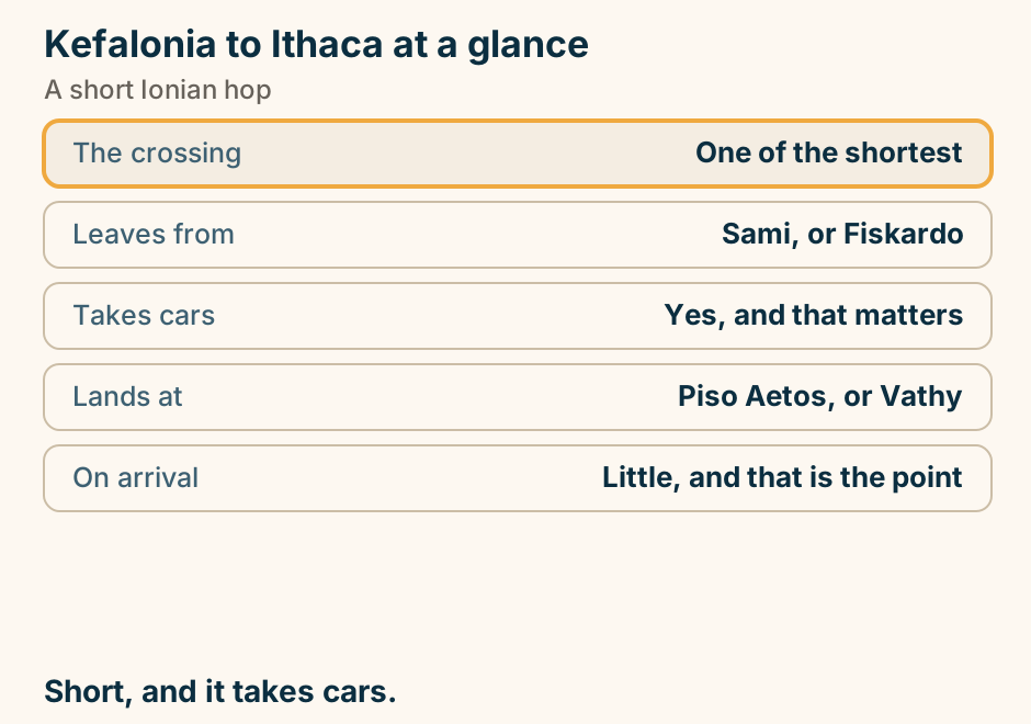
Kefalonia to Ithaca: the crossing. A single line runs from Kefalonia to Ithaca, marking the crossing. A short hop that takes cars. Explained on Kefalonia to Ithaca: a short hop that takes cars. SVG · CC BY 4.0.
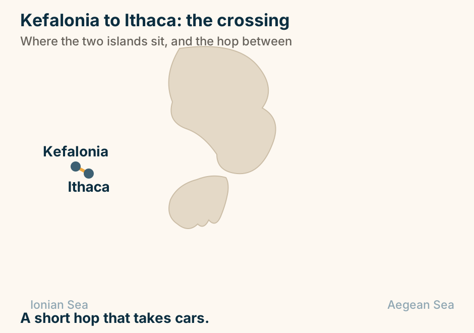
Kimolos at a glance. Where it is: A short ferry off Milos. Why go: Same light, far fewer people. The landmark: Skiadi, a rock mushroom. The village: A fortified kastro core. Opposite: Polyaigos, uninhabited. Ten minutes from Milos, a fraction of the people. Explained on Kimolos: ten minutes from Milos, and a different decade. SVG · CC BY 4.0.
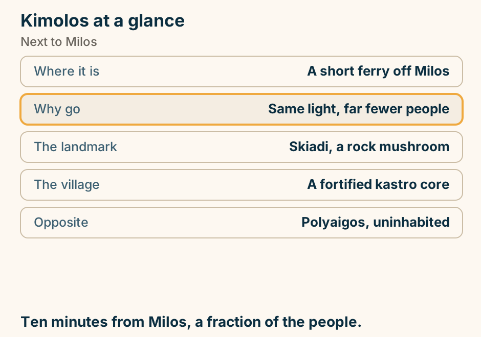
Konitsa at a glance. What it is: A town above the Aoos. The bridge: Biggest arch in the Balkans. From under it: A gorge walk to a monastery. North: Smolikas and a dragon lake. From Ioannina: About an hour. Cross the bridge, then walk the gorge. Explained on Konitsa: the biggest stone arch in the Balkans. SVG · CC BY 4.0.
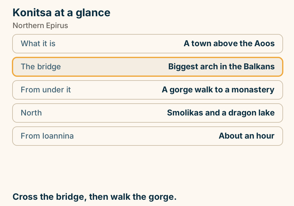
Koroni at a glance. What it is: A Venetian sea castle. The difference: It was never abandoned. So inside: Houses, gardens, a convent. Below it: Zaga, long and sandy. Its pair: Methoni, across the cape. A fortress people still garden inside. Explained on Koroni: a fortress people still garden inside. SVG · CC BY 4.0.
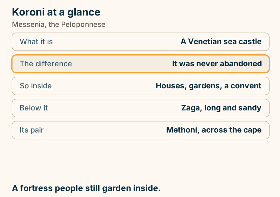
Kos to Bodrum at a glance. The crossing: Twenty minutes to an hour. What it is: Out of the EU and back. Documents: Passport, and maybe a visa. Hire cars: Not allowed across. At the other end: A Crusader castle, and a bazaar. Turkey is an hour ahead. Check the return. Explained on Kos to Bodrum: the shortest international crossing in Greece. SVG · CC BY 4.0.
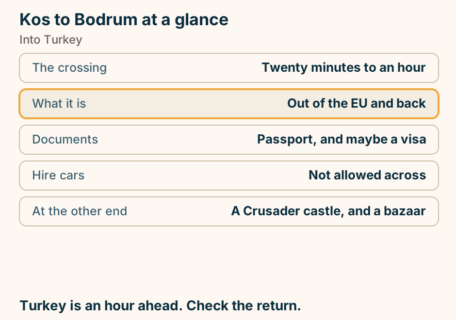
Kos to Bodrum: the crossing. A single line runs from Kos to Bodrum, marking the crossing. A different country, and a short crossing. Explained on Kos to Bodrum: the shortest international crossing in Greece. SVG · CC BY 4.0.
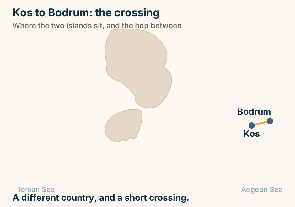
Koufonisia at a glance. What it is: A low, small, sandy island. Getting about: On foot. No car needed. The coast: A path linking coves. Across a channel: An uninhabited twin. In August: Small, and it shows. Walk the south coast. That is the island. Explained on Koufonisia: an island you walk, and a coast of coves. SVG · CC BY 4.0.
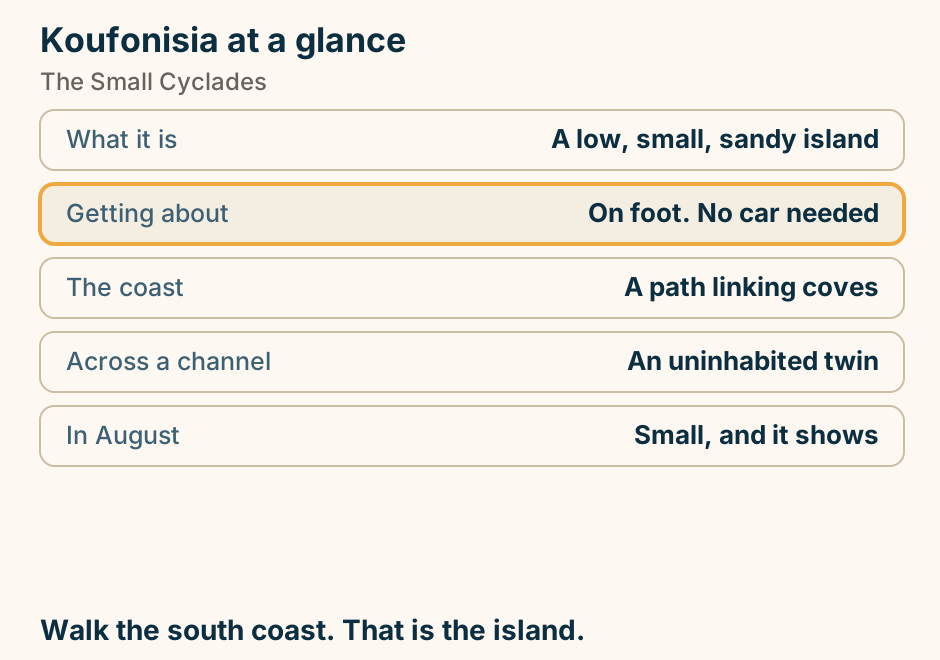
Kyllini at a glance. What it is: The ferry port west. Boats to: Zakynthos and Kefalonia. On the hill: The best Frankish castle. Inland: Hot springs in a pine wood. The coast: Flat sand, and empty. Arrive early. The castle is worth it. Explained on Kyllini: a port, a spa in the trees, and a Frankish castle. SVG · CC BY 4.0.
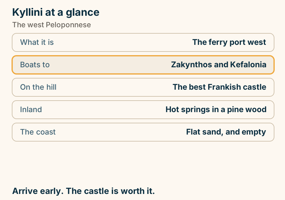
Kythira at a glance. Where it is: Between two seas. The surprise: A waterfall and watermills. Above Kapsali: A Venetian castle. The car: Essential. It is large. In August: Still quiet. Big, empty, and hard to categorise. Explained on Kythira: a big empty island that belongs to no group. SVG · CC BY 4.0.
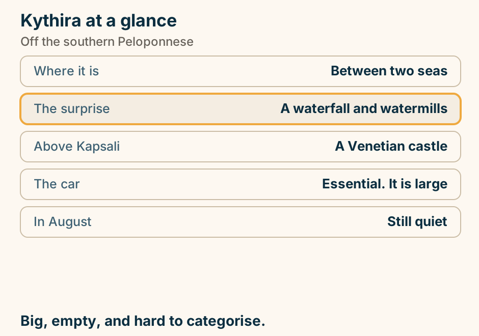
Kythnos at a glance. What it has: Natural thermal springs. Where: Running into the sea, free. The landmark: A double-sided sandbar. Two villages: Flat roofs, then tiled ones. Visitors: Among the fewest nearby. Hot water, a sandbar, and nothing much happening. Explained on Kythnos: thermal water, a sandbar, and almost no one. SVG · CC BY 4.0.
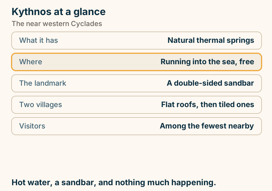
Lake Plastira at a glance. What it is: A fir-ringed reservoir. How to see it: A forty-kilometre ring road. Its season: Autumn and winter. Where you sleep: Stone guesthouses, fireplaces. An hour north: Meteora. The bit of Greece that looks alpine. Explained on Lake Plastira: the bit of Greece that looks like the Alps. SVG · CC BY 4.0.
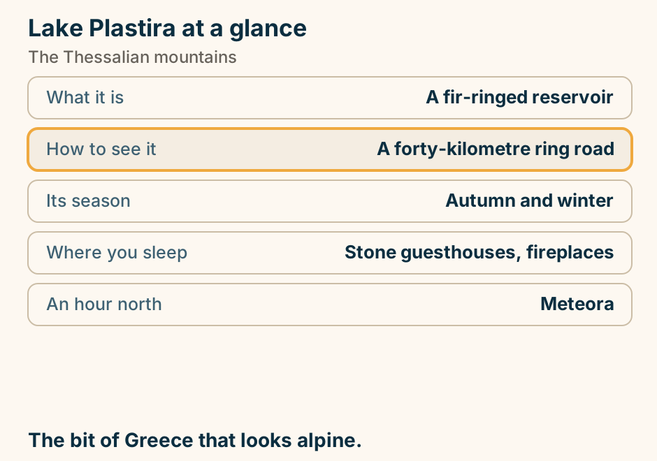
Lamia at a glance. The centre: Three linked squares. Above it: A much-rebuilt castle. Twenty minutes east: Thermopylae. The catch there: The sea has moved away. Still running: The hot springs. Where you break the Athens to Salonica drive. Explained on Lamia: a castle, three squares, and Thermopylae down the road. SVG · CC BY 4.0.
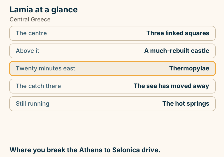
Lefkada to Kefalonia at a glance. Leaves from: Vasiliki, in the south. Lands at: Fiskardo, or Poros. Takes cars: Yes, and book ahead. Seasonal: Thin outside high summer. The alternative: Back over the bridge. You drove on. Now you sail. Explained on Lefkada to Kefalonia: you drove on, now you sail. SVG · CC BY 4.0.
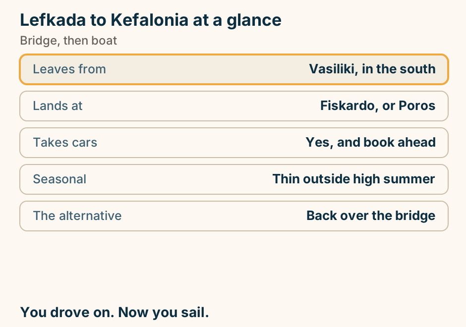
Lefkada to Kefalonia: the crossing. A single line runs from Lefkada to Kefalonia, marking the crossing. You drove onto Lefkada. Now you sail. Explained on Lefkada to Kefalonia: you drove on, now you sail. SVG · CC BY 4.0.
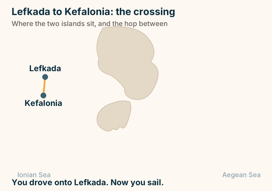
Leonidio at a glance. Above the town: A vast red limestone wall. On it: Thousands of bolted routes. The season: Autumn to spring, not summer. Older locals speak: A descendant of Doric. In the gorge: A monastery in the cliff. A red wall, and a dialect from Sparta. Explained on Leonidio: a red wall, and the last of a Doric dialect. SVG · CC BY 4.0.
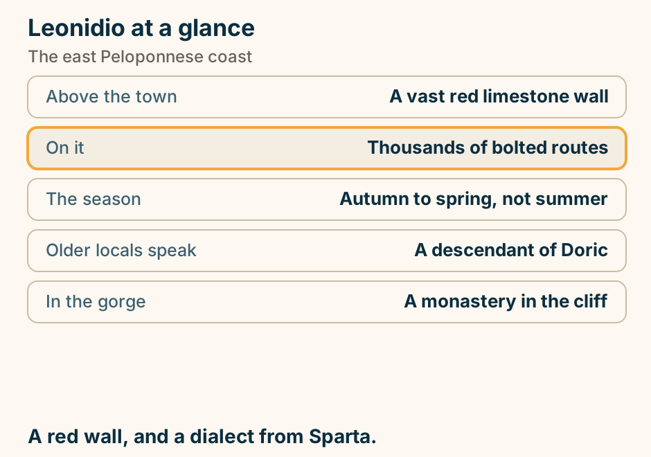
Limnos at a glance. What it is: A low agricultural island. Over the port: A vast Venetian castle. The oddity: A field of sand dunes. The beaches: Long, sandy, uncrowded. A car: Essential. It is large. Flat, farmed, and the beaches stay empty. Explained on Limnos: a farmed island with a castle and a desert. SVG · CC BY 4.0.
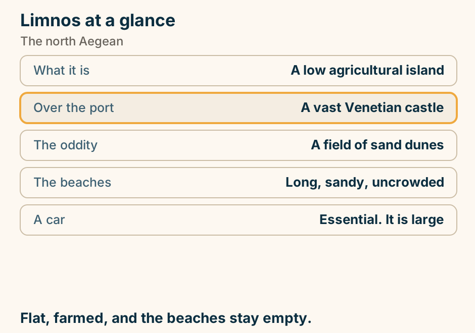
Litochoro at a glance. What it is: The base for Olympus. The climb: Two days, with a refuge. The last part: A scramble, not a path. If not climbing: The Enipeas gorge walk. Five minutes off: A beach, under the peak. Where you start up the mountain. Explained on Litochoro: where you start up Olympus. SVG · CC BY 4.0.
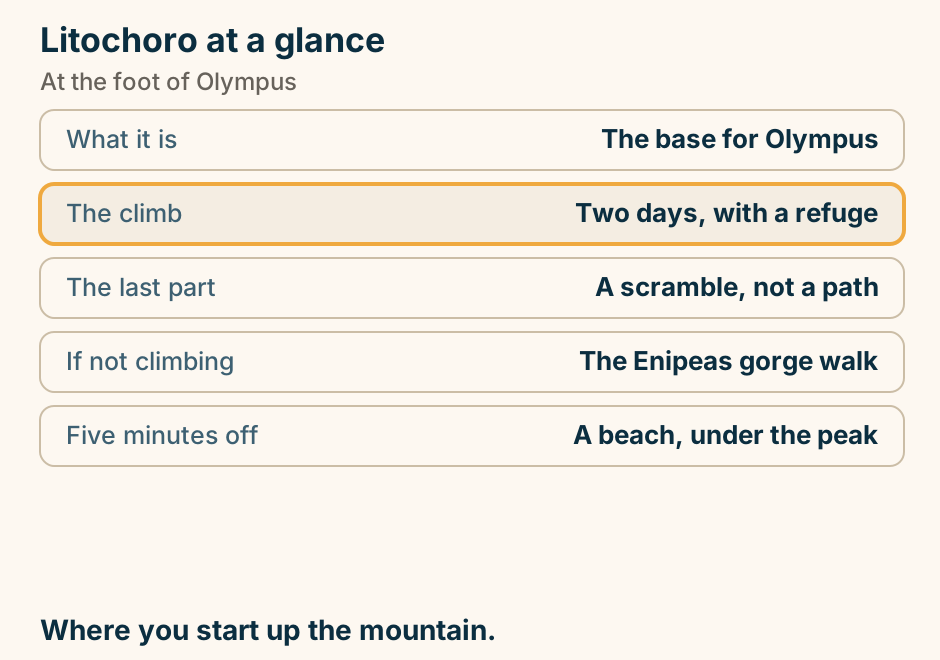
Loutraki at a glance. Why it exists: Thermal springs. Out on the cape: A sanctuary of Hera. Beside it: An oracle of the dead. Also there: A deep coastal lagoon. In town: A very large casino. The town is the springs. The cape is the reason. Explained on Loutraki: hot springs an hour from Athens. SVG · CC BY 4.0.
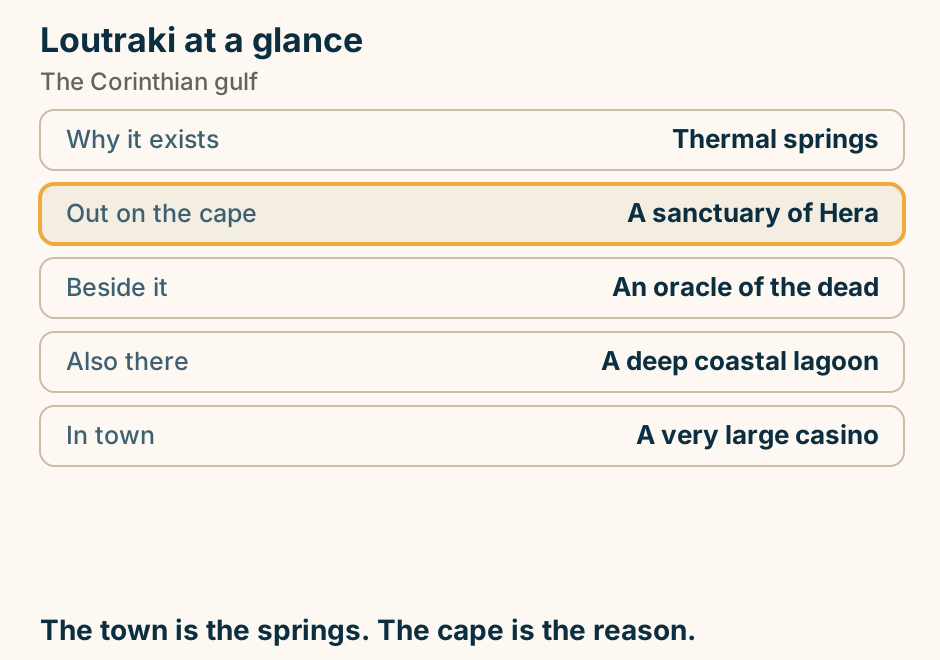
Mainland Greece at a glance. First trip: The Peloponnese loop. Most beautiful: Epirus, and Zagori. Best single sight: Meteora. Least visited: Macedonia and Thrace. Best months: Spring, autumn, winter. Drive it. The ferries are for later. Explained on Mainland Greece: what is in each region, and what it is for. SVG · CC BY 4.0.
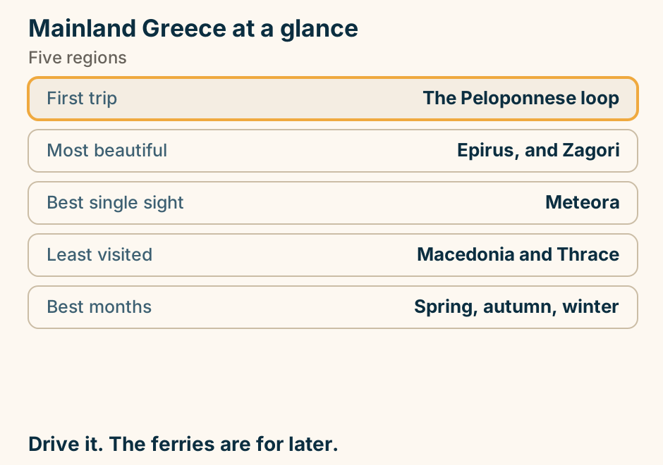
Makrinitsa at a glance. What it is: A stone village of Pelion. The mountain: Rises behind Volos. Built of: Stone and slate. Nearby: The Pelion railway. Volos is: The base for all of it. Stone and slate on the mountain behind the city. Explained on Makrinitsa: stone and slate above Volos. SVG · CC BY 4.0.
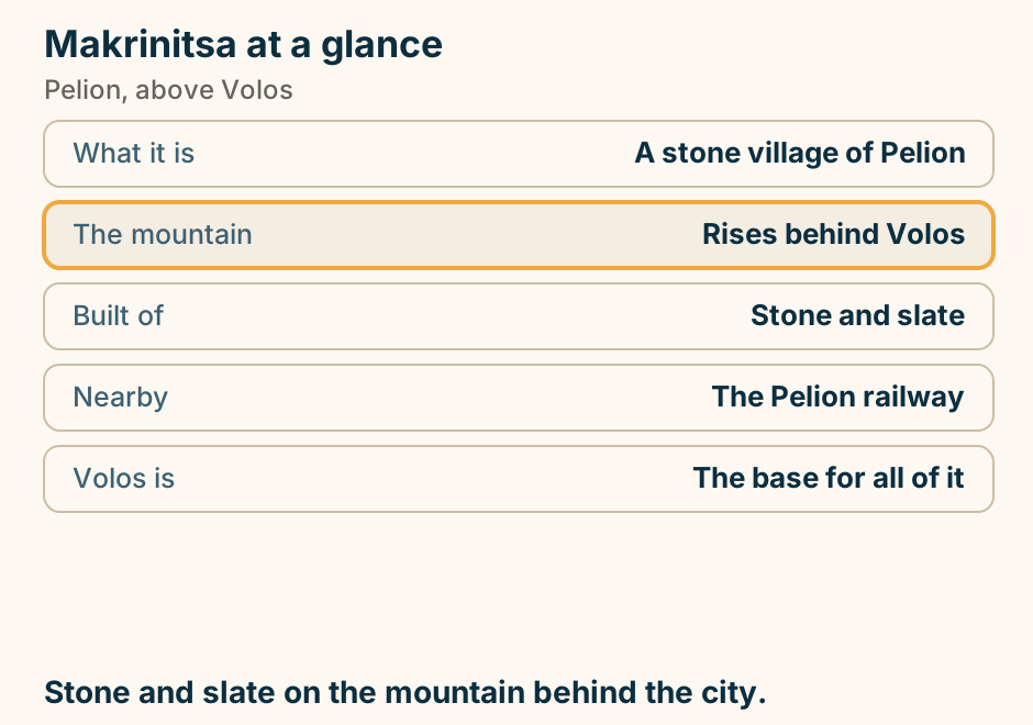
Meganisi at a glance. Where it is: A short ferry off Lefkada. Its coast: Deep coves, used by yachts. The famous one: A submarine sea cave. Villages: Three, close together. Development: Rooms, not resorts. What that coast looked like before the resorts. Explained on Meganisi: twenty-five minutes off Lefkada, and another pace. SVG · CC BY 4.0.
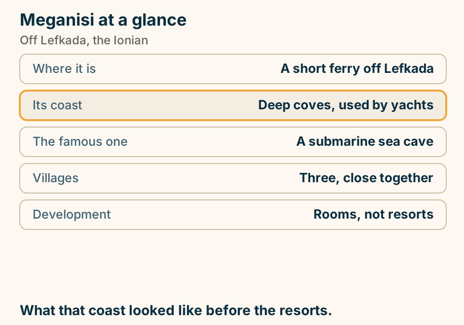
Messolonghi at a glance. What surrounds it: The largest lagoon in Greece. Out on it: Fishing huts on stilts. And flamingos: It is a protected wetland. Byron: Died here, of fever. It produces: Salted mullet roe. Go for a sunset on flat water. Explained on Messolonghi: a town in the middle of a lagoon. SVG · CC BY 4.0.
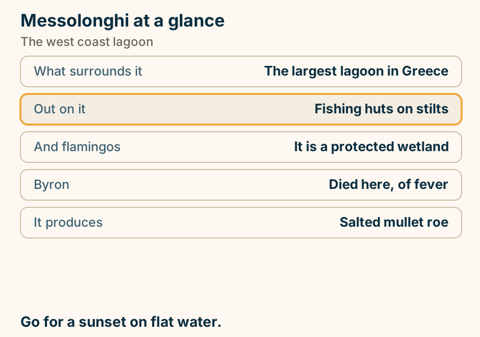
Meteora is mainland: monasteries on rock pillars above Kalambaka and Kastraki. A schematic elevation of Meteora, not to scale, read from the plain upward. This is mainland Thessaly in central Greece, not an island, and it is reached by road or by rail. At the foot of the rocks lie Kastraki, the smaller village, on the left, and Kalambaka, the base and the rail terminus, on the right. The loop road climbs from Kalambaka and winds left into the rock forest, its direction shown by an arrowhead. Rising from the plain are the sandstone pillars, each carrying one of the six monasteries that are still lived in. Great Meteoron and Varlaam stand at the high end, farthest from the town. St Nicholas Anapausas and Rousanou are central. Holy Trinity and St Stephen sit nearer Kalambaka. On a lower rock between Rousanou and Holy Trinity, beside the loop road, the Psaropetra and Adrachti sunset viewpoint is the highlighted marker. No opening hour, entry fee, closed day or date appears in the drawing. Explained on Meteora Greece: cliff-top monasteries on the Thessaly mainland. SVG · CC BY 4.0.
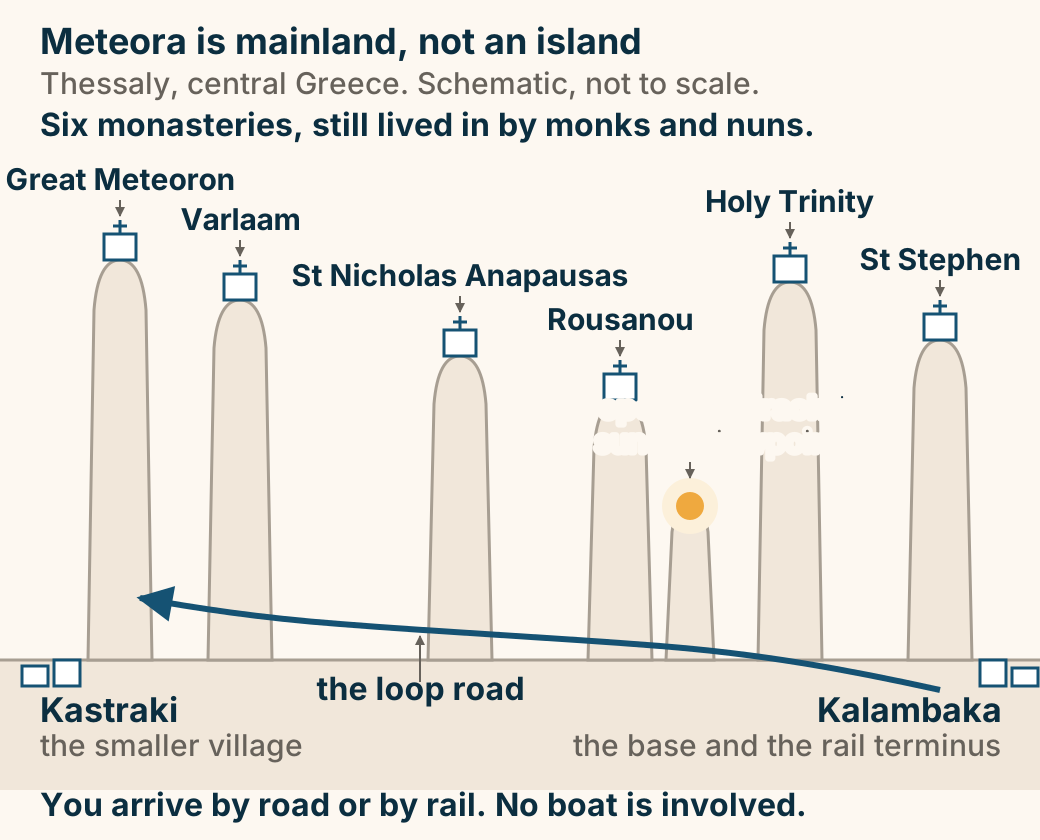
Methoni at a glance. What it is: A vast Venetian fortress. You enter: Over a bridge across a moat. At the tip: An octagonal sea tower. Inside: Open ground, little shade. With Koroni: The eyes of the Republic. The bigger, emptier, more dramatic of the pair. Explained on Methoni: a fortress that runs out into the sea. SVG · CC BY 4.0.
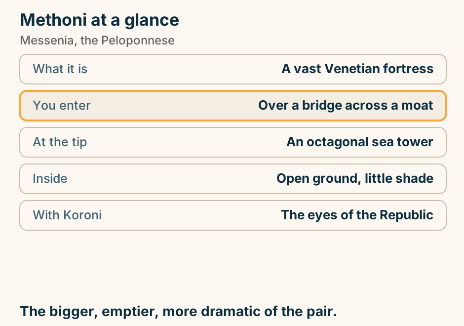
Metsovo at a glance. What it is: A Vlach town at 1,150m. Why it is grand: Emigrants endowed it. It makes: Smoked cheese, and wine. In winter: A working ski centre. On the road: Ioannina to Meteora. A mountain town its emigrants paid to keep. Explained on Metsovo: a mountain town its emigrants paid to keep. SVG · CC BY 4.0.
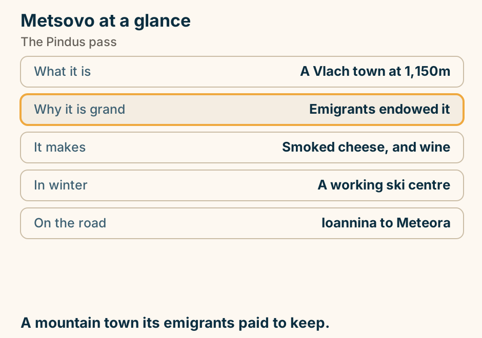
Milos to Sifnos at a glance. The crossing: One to two hours. In between: Kimolos. Milos is for: Volcanic rock and boats. Sifnos is for: Footpaths and food. Airports: Milos has one. Sifnos does not. Two islands that are nothing alike. Explained on Milos to Sifnos: a short hop, and a very different island. SVG · CC BY 4.0.
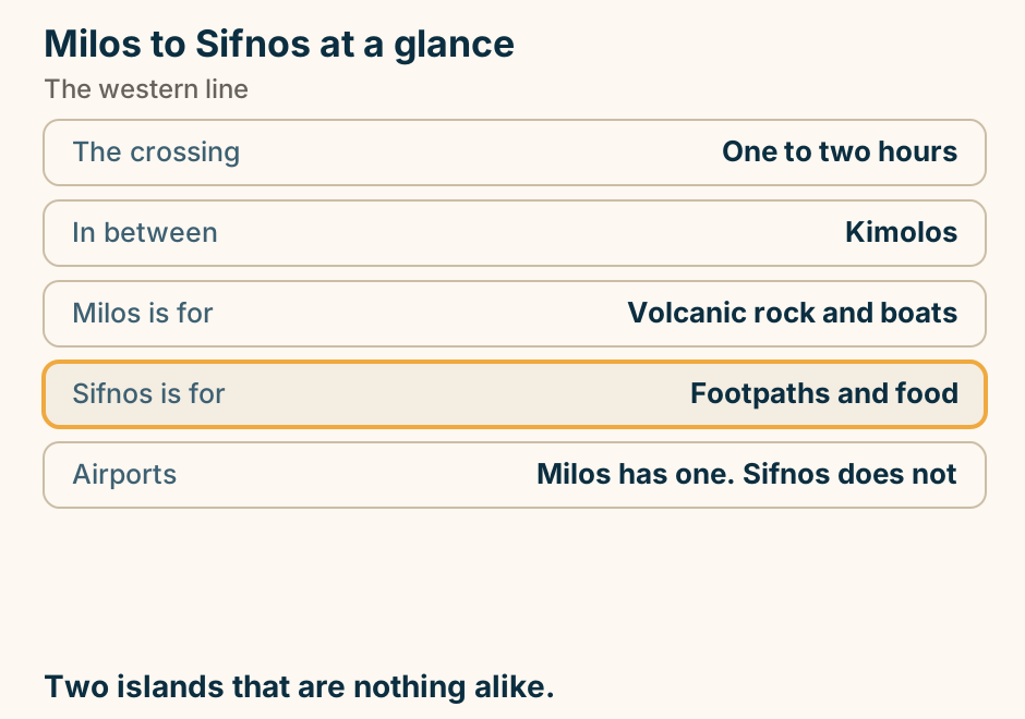
Milos to Sifnos: the crossing. A single line runs from Milos to Sifnos, marking the crossing. Neighbours on the western line. Explained on Milos to Sifnos: a short hop, and a very different island. SVG · CC BY 4.0.
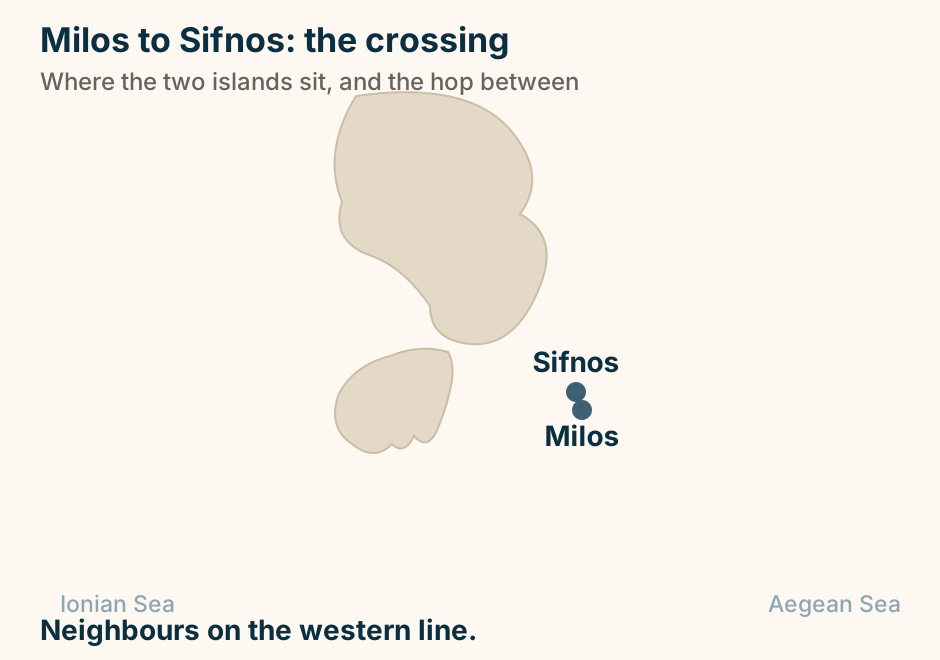
Monemvasia at a glance. What it is: A town on a sea rock. The trick: It faces away from land. The name means: Single entrance. Inside: No cars. Stone lanes. Above: A ruined upper town. You cannot see the town until you are inside it. Explained on Monemvasia: a whole town you cannot see from the shore. SVG · CC BY 4.0.
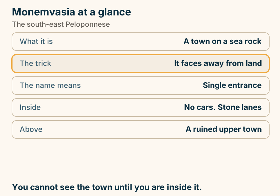
Mount Athos at a glance. What it is: A self-governing state. Monasteries: Twenty ruling houses. Who may land: Men, with a permit. How everyone else sees it: By boat, from Ouranoupoli. Listed as: A mixed UNESCO site. Men need a permit. Everyone else takes the boat. Explained on Mount Athos: a monastic state, and the rules for visiting it. SVG · CC BY 4.0.
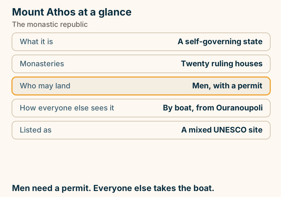
Mykonos Airport to the Chora at a glance. Chora: Pedestrian-only, maze-like. By air: JMK, and a short run in. By sea: Tourlos, north of the Chora. With luggage: A genuine exercise on foot. A hire car: Parking near Chora is grim. The last part is on foot. Explained on Mykonos airport to Mykonos Town: short, and not the only arrival. SVG · CC BY 4.0.
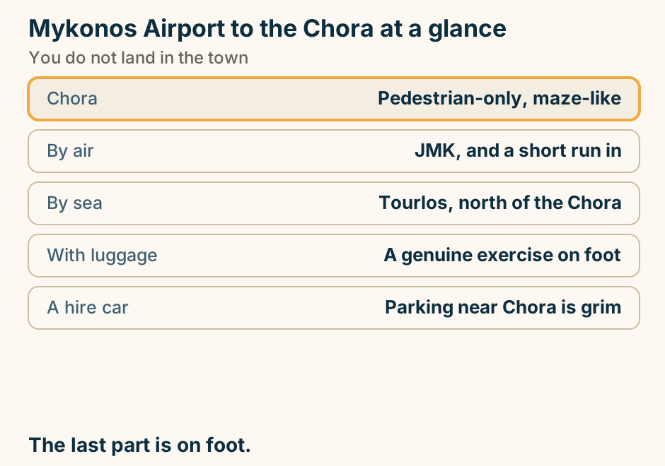
Mykonos to Naxos: the crossing. A single line runs from Mykonos to Naxos, marking the crossing. A short hop from the scene to the big island. Explained on Mykonos to Naxos: the scene, then the real island. SVG · CC BY 4.0.
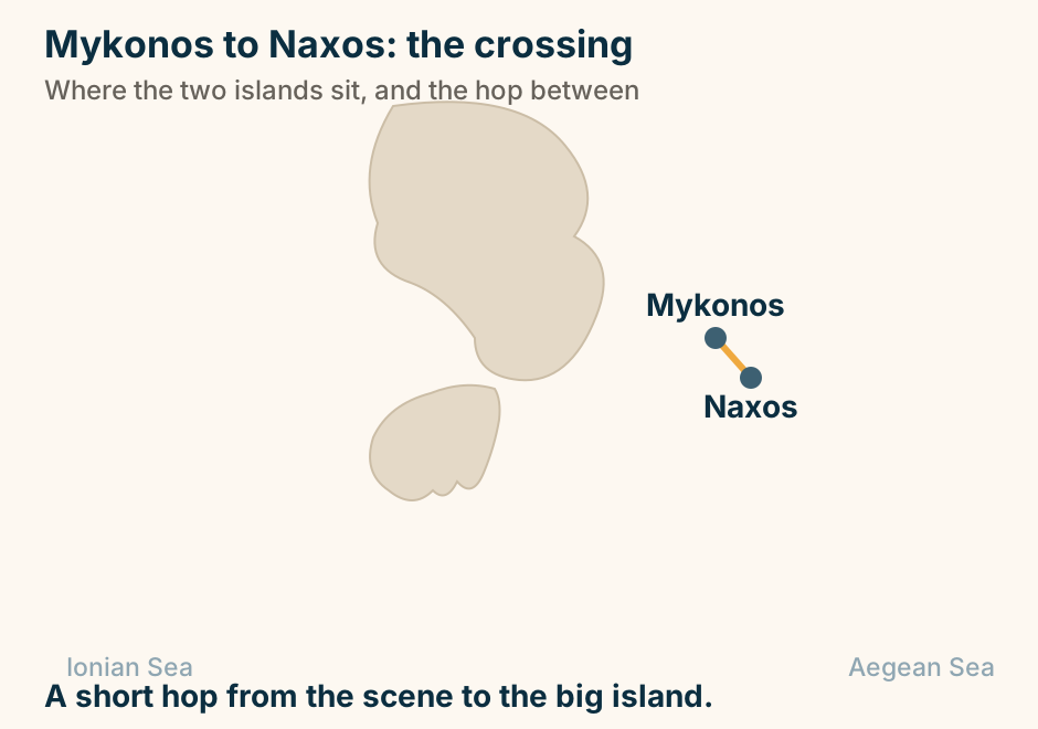
Mykonos to Paros: the crossing. A single line runs from Mykonos to Paros, marking the crossing. A short hop between Cyclades neighbours. Explained on Mykonos to Paros: the short hop worth building a trip around. SVG · CC BY 4.0.
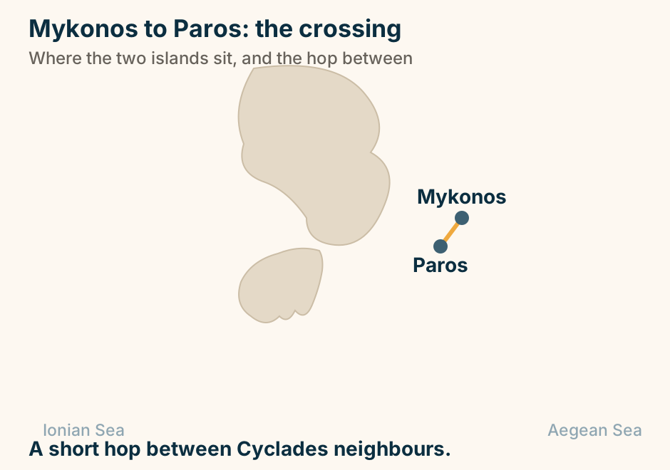
Mykonos to Santorini: the crossing. A single line runs from Mykonos to Santorini, marking the crossing. A direct hop down the Cyclades chain. Explained on Mykonos to Santorini: the busiest hop in the Cyclades. SVG · CC BY 4.0.
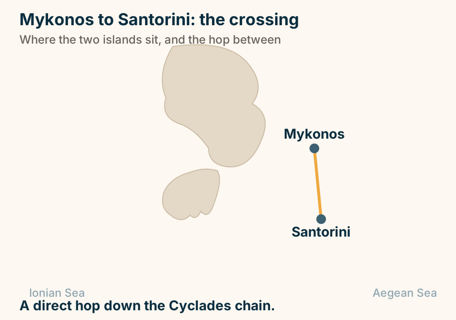
Mystras at a glance. What it is: A whole Byzantine city. Never: Built over after it emptied. Inside: Frescoed churches, a palace. On the summit: A Frankish castle. The ground: Steep, cobbled, unshaded. Enter at the top gate and walk down. Explained on Mystras: a Byzantine capital nobody rebuilt over. SVG · CC BY 4.0.
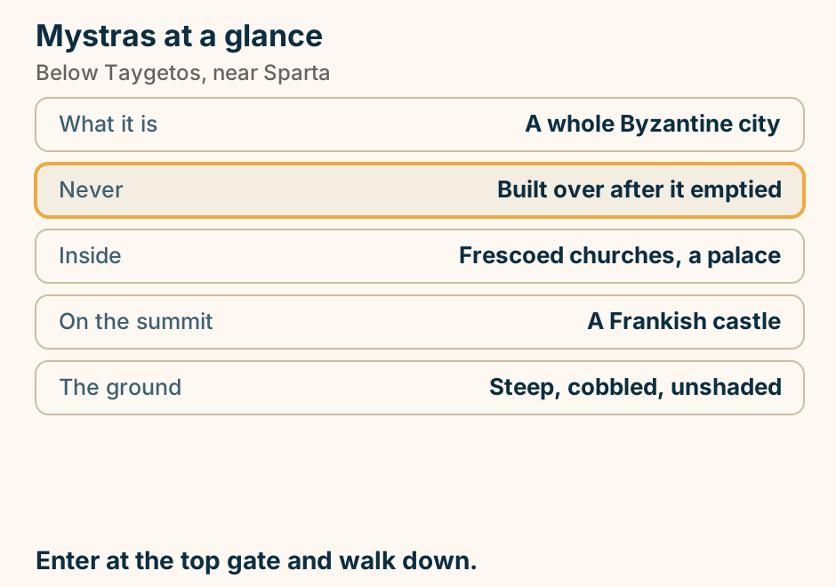
Nafpaktos at a glance. The harbour: A near-perfect circle. Its mouth: Two towers, almost touching. Above it: Five walled enclosures. Its other name: Lepanto. Half an hour: Patras, over the bridge. Boats enter one at a time. Explained on Nafpaktos: a harbour the width of a tennis court. SVG · CC BY 4.0.
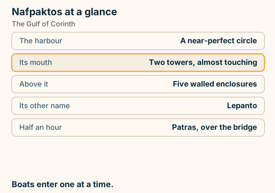
Nafplio is a mainland town on the Argolic Gulf, and the ancient Argolid is on its doorstep. A schematic map of the northeast Peloponnese, north at the top. Nafplio is marked on a small peninsula jutting into the Argolic Gulf, and it is the only place on the map coloured to stand out. Land surrounds it on every side: this is the mainland, not an island. A road runs north out of the town, past ancient Corinth, and off the top right of the map to Athens. Around Nafplio, on the plain of the ancient Argolid, sit the sites the town is a base for: Tiryns just up the road, Argos beyond it, Mycenae to the north, ancient Corinth further north still, and Epidaurus away to the east. Everything drawn here is reached by road. Explained on Nafplio: a travel guide to Greece’s first capital. SVG · CC BY 4.0.
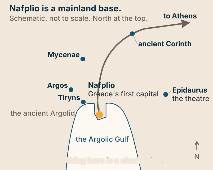
Naxos to Amorgos at a glance. Fast craft: About two hours. The local boat: Up to four. What it calls at: Four Small Cyclades. Two ports: Katapola, or Aegiali. Give it: Three or four nights. Take the slow boat. It is the better one. Explained on Naxos to Amorgos: take the slow boat. SVG · CC BY 4.0.
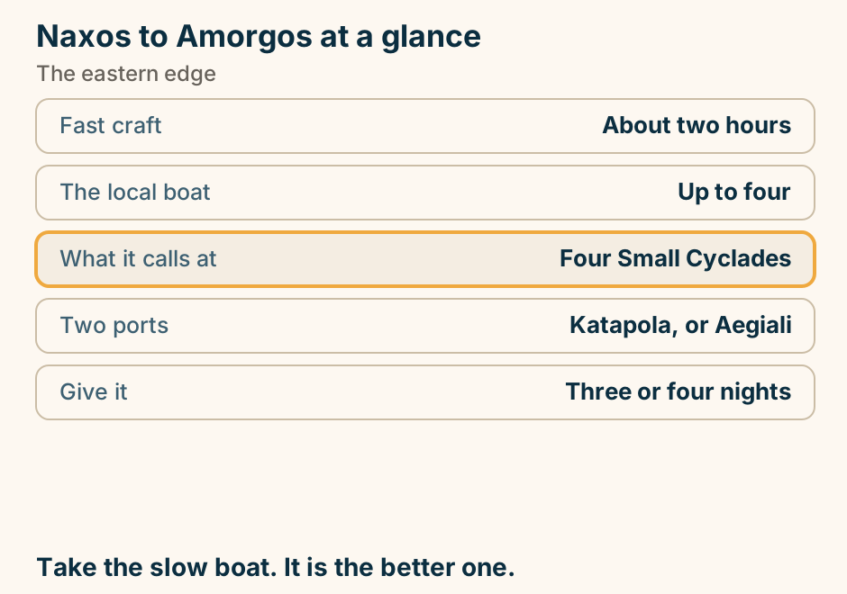
Naxos to Amorgos: the crossing. A single line runs from Naxos to Amorgos, marking the crossing. East, to the end of the line. Explained on Naxos to Amorgos: take the slow boat. SVG · CC BY 4.0.
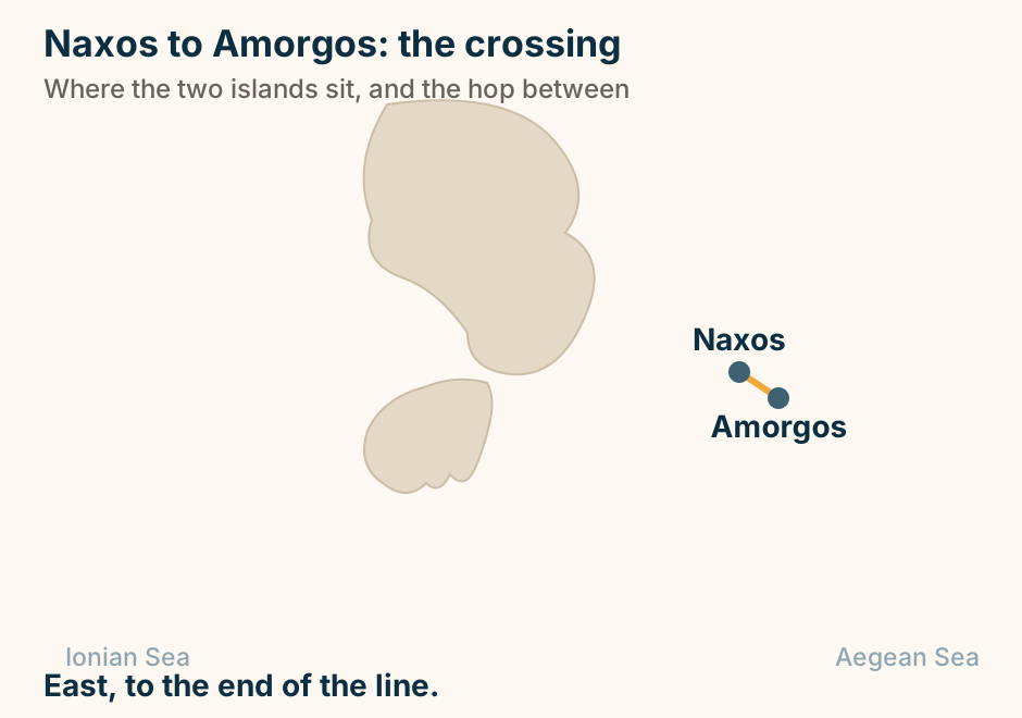
Naxos to Koufonisia: the crossing. A single line runs from Naxos to Koufonisia, marking the crossing. A short hop into the Small Cyclades. Explained on Naxos to Koufonisia: an hour or two, and a much smaller island. SVG · CC BY 4.0.

Naxos to Paros: the crossing. A single line runs from Naxos to Paros, marking the crossing. The shortest crossing in the Cyclades. Explained on Naxos to Paros: the shortest crossing in the Cyclades. SVG · CC BY 4.0.
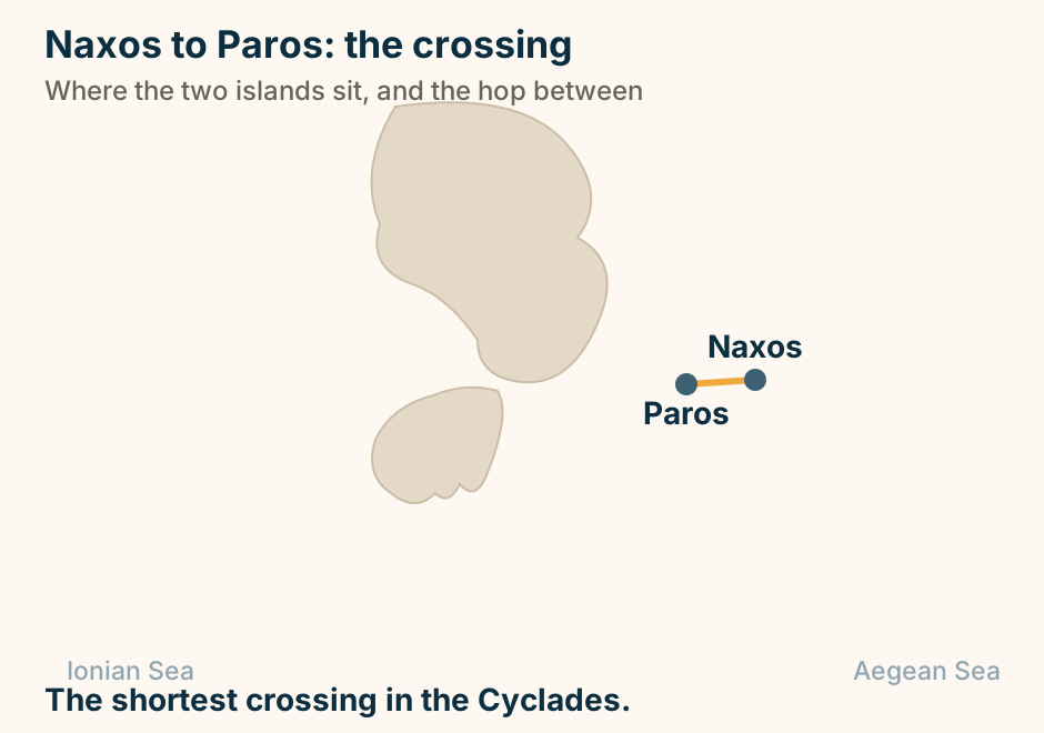
Naxos to Santorini: the crossing. A single line runs from Naxos to Santorini, marking the crossing. A short run south to the end of the chain. Explained on Naxos to Santorini: the quiet island to the famous one. SVG · CC BY 4.0.
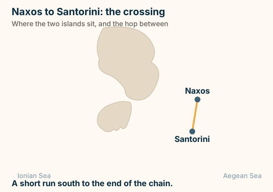
Nemea at a glance. The wine: Greece leading red region. The grape: Agiorgitiko. Also here: A sanctuary of Zeus. The stadium: Its tunnel still standing. Tasting: Take a driver. Wine country with a stadium in the middle of it. Explained on Nemea: Agiorgitiko vines, and a stadium that reopened. SVG · CC BY 4.0.
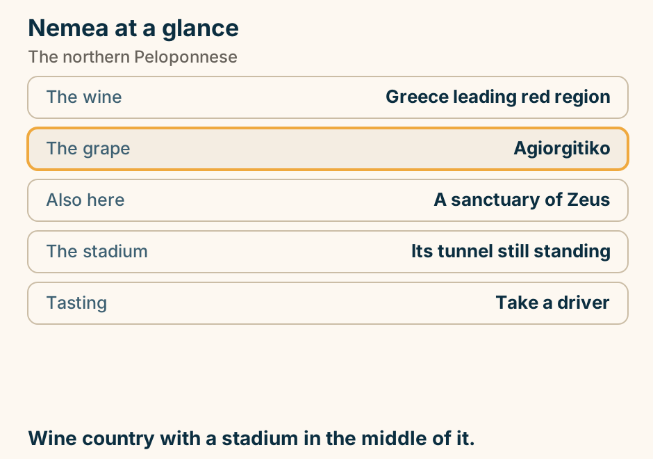
Niokastro at a glance. What it is: A well-preserved castle. The plan: A hexagonal enceinte. Inside: A museum. The other one: Palaiokastro, across the bay. Offshore: The battle of Navarino. Two castles guard the bay. This is the one you walk into. Explained on Niokastro: the castle at the town end of Navarino bay. SVG · CC BY 4.0.
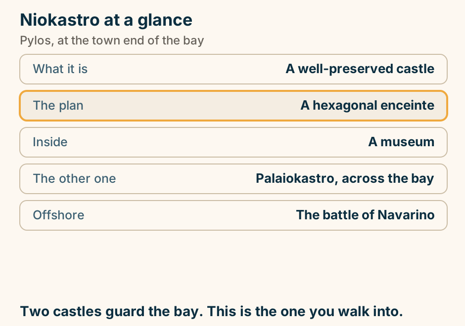
Nisyros at a glance. What it is: An active volcano. You can: Walk onto the caldera floor. Underfoot: Hot ground and vents. On the rim: Nikia, over the crater. Most visitors: Rush it from Kos. Stay a night. The day trips get forty minutes. Explained on Nisyros: a caldera you can stand in. SVG · CC BY 4.0.
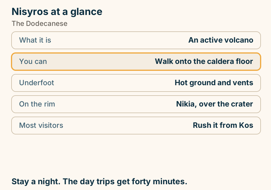
Oinousses at a glance. What it is: A quiet island off Chios. What it produced: Greek shipowning families. On an island this size: A merchant marine academy. In the museum: Models, charts, paintings. In the cemetery: A marble mermaid. Small island, very large fleet. Explained on Oinousses: a small island that owns a lot of ships. SVG · CC BY 4.0.
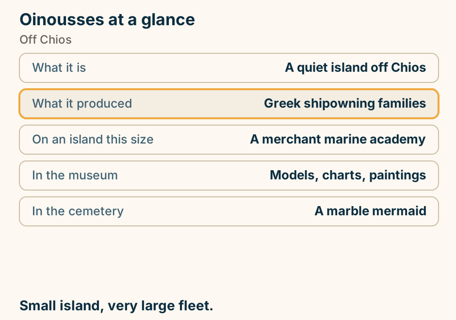
Osios Loukas at a glance. What it is: A UNESCO monastery. Why it matters: Best mosaics on the mainland. Unusual plan: Two churches, joined. Underneath: A frescoed crypt. From Delphi: About half an hour. Half an hour off the Delphi road. Go. Explained on Osios Loukas: gold-ground mosaics, half an hour from Delphi. SVG · CC BY 4.0.
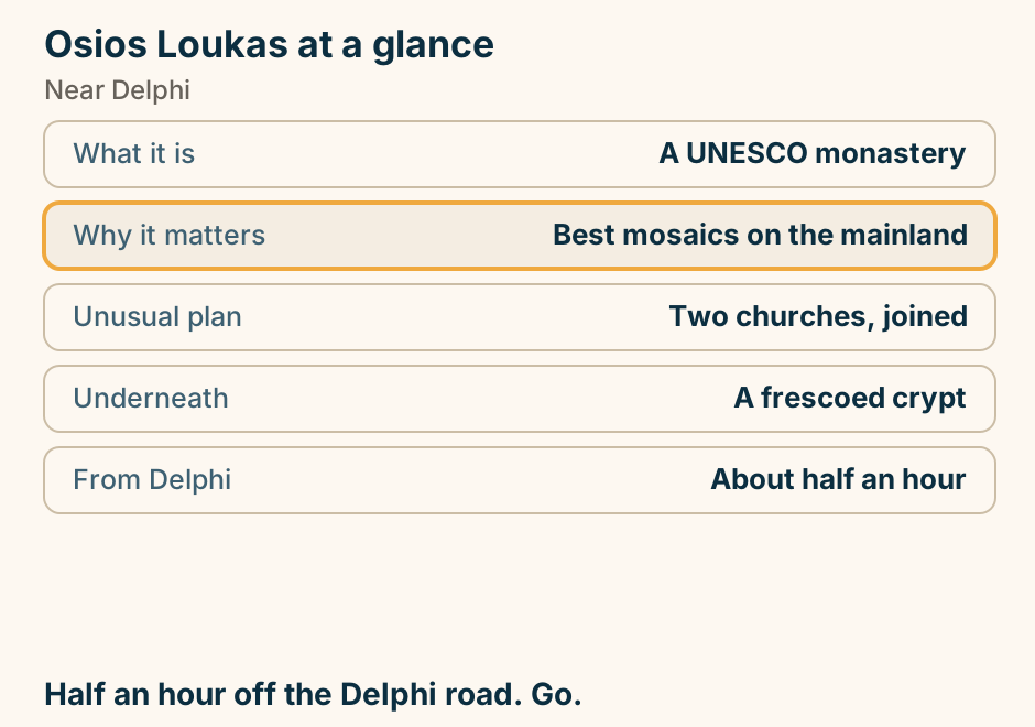
Othonoi at a glance. What it is: The westernmost point. Where: North-west of Corfu. Who lives there: A few dozen in winter. Where the rest are: New York. South-west coast: A cave, and a Homer claim. The far edge of Greece, shuttered most of the year. Explained on Othonoi: the last island before Italy. SVG · CC BY 4.0.
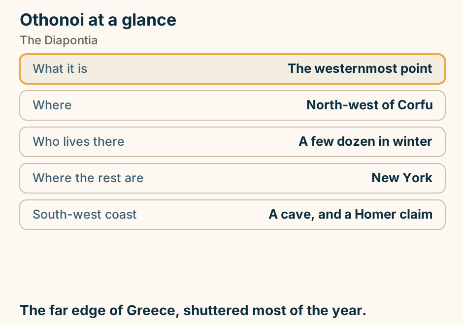
Palamidi at a glance. What it is: A Venetian hill fortress. Built: Early eighteenth century. The hill: 216 metres. The steps: Counts differ; 999 is a myth. Two ways up: The stair, or the road. Climb it early, or drive up and walk down. Explained on Palamidi: the climb, and the myth of 999 steps. SVG · CC BY 4.0.
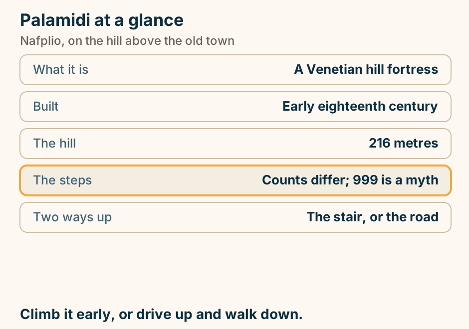
Papingo and Mikro Papingo at a glance. What they are: Two stone villages. Above them: The Astraka towers. Built of: Grey stone and slate. The draw: Walking, in every direction. The catch: Busiest of the villages. The best known of forty-six. Also the busiest. Explained on Papingo and Mikro Papingo: the two under the towers. SVG · CC BY 4.0.
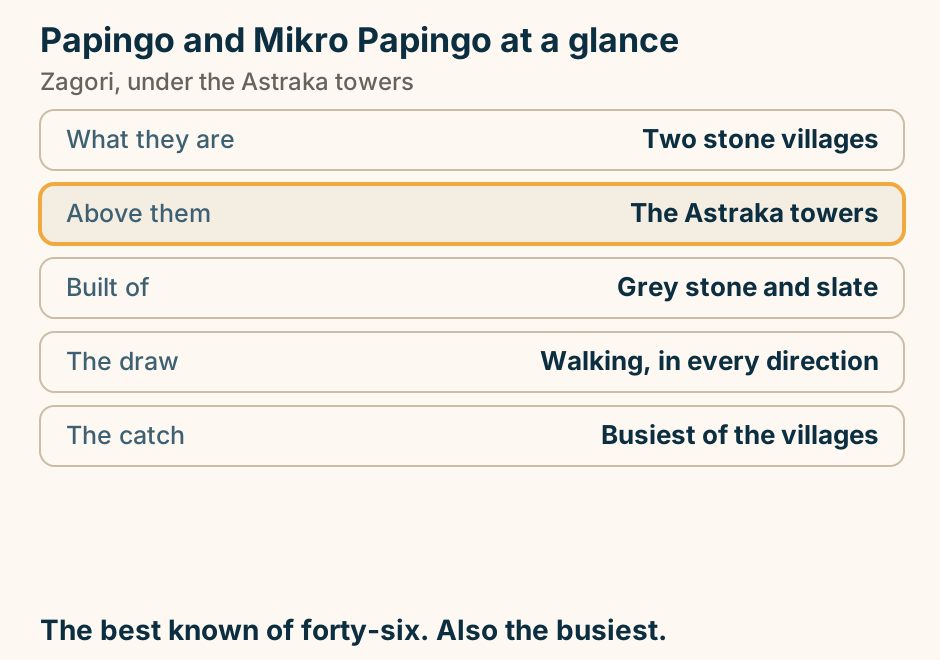
Parga at a glance. What it is: A pastel amphitheatre town. Why it looks Ionian: It was governed with them. Above it: A Venetian castle, free. Out from it: Paxos, by boat. Inland: The river of the underworld. An island town that is not on an island. Explained on Parga: an island town that is not on an island. SVG · CC BY 4.0.
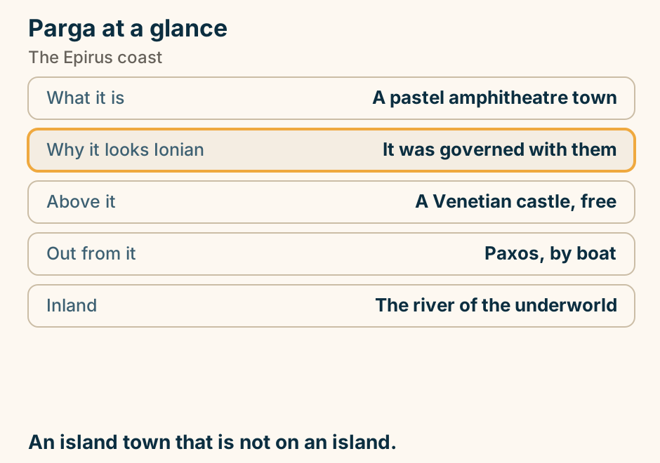
Paros to Santorini: the crossing. A single line runs from Paros to Santorini, marking the crossing. The southbound leg that ends most Cyclades trips. Explained on Paros to Santorini: the leg that ends most Cyclades trips. SVG · CC BY 4.0.
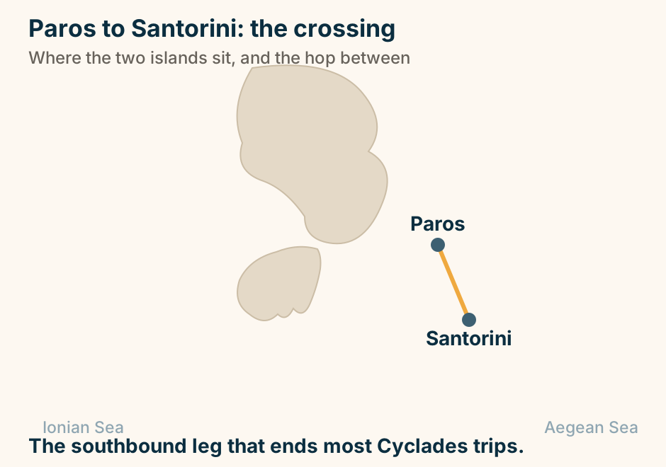
Patras at a glance. What it is: The third city, and a port. Ferries go: To Italy, not the islands. Its streets: Arcaded, and walkable in rain. Before Lent: The largest carnival in Greece. Just north: The Rio bridge. The door to Italy, and worth a night anyway. Explained on Patras: the gate to Italy, and the loudest carnival in Greece. SVG · CC BY 4.0.
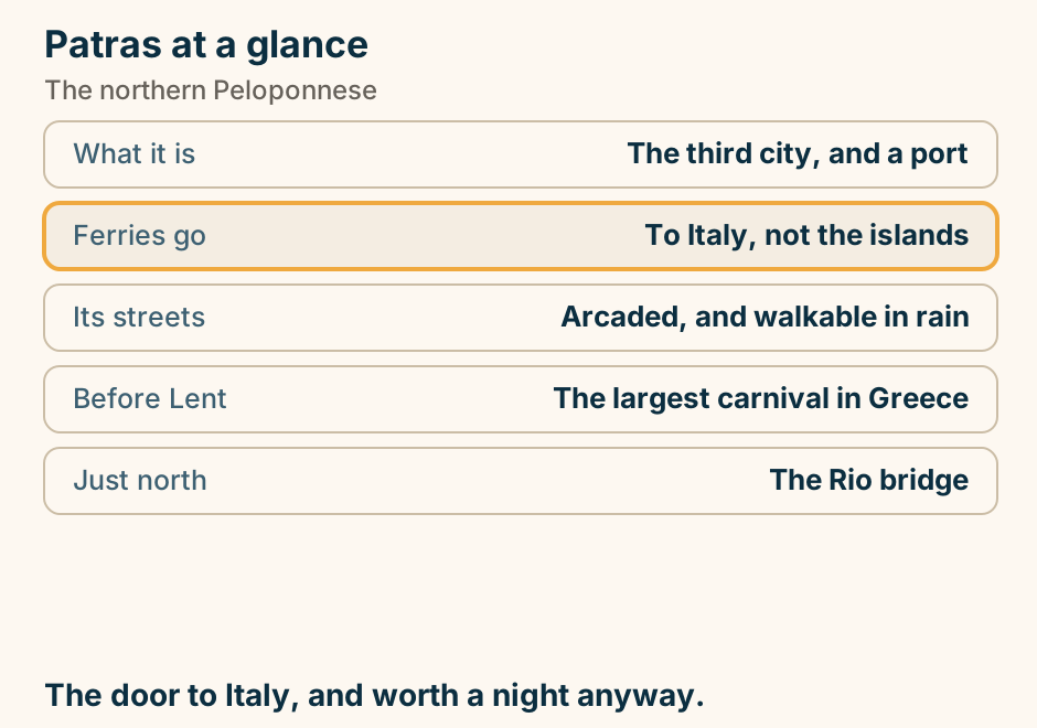
Perama cave at a glance. What it is: A large stalactite system. Open: To visitors. Position: On the edge of the city. Fold it into: A half day. The city is: The door to Zagori. Half a day, not a day. The city is the reason you are here. Explained on Perama cave: a stalactite system on the edge of town. SVG · CC BY 4.0.
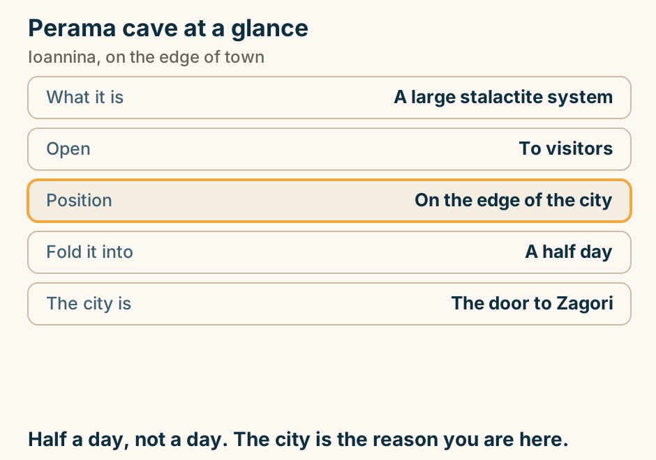
Philippi at a glance. What it is: A major Roman city. Standing: Theatre, forum, basilicas. Christian history: Where Paul preached. Roman history: The battle was fought here. From Kavala: Twenty minutes inland. Two histories on one site, and both are legible. Explained on Philippi: a Roman city, a battle, and where Paul preached. SVG · CC BY 4.0.
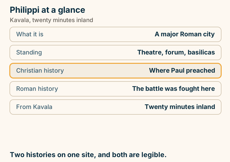
Poros at a glance. The channel: A few hundred metres wide. Which makes it: The easiest island near Athens. The emblem: A blue-domed clocktower. Behind the town: Pine, and a ruined temple. Across the water: A forest of lemon trees. An island you look across at the mainland from. Explained on Poros: an island you can almost step across to. SVG · CC BY 4.0.
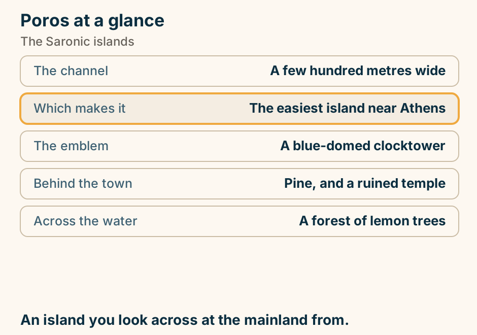
Porto Heli at a glance. What it is: A near-enclosed harbour. Its use: Yachts, and resort hotels. Ten minutes away: Spetses, by water taxi. The town: Functional, not pretty. In the bay: A partly sunken classical town. A sheltered bay, and Spetses ten minutes off. Explained on Porto Heli: a sheltered bay, and Spetses across the water. SVG · CC BY 4.0.
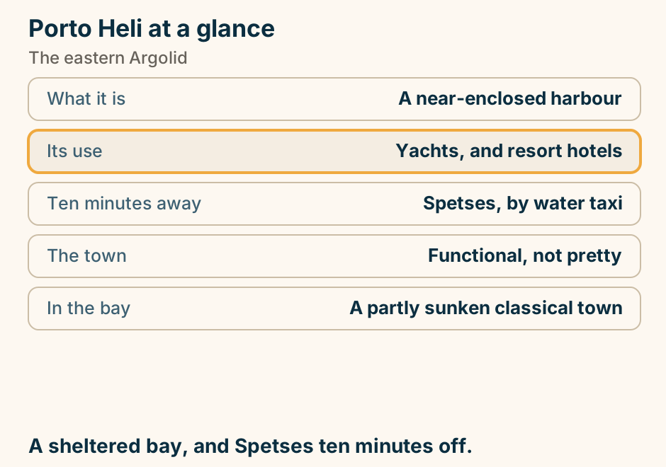
Preveza at a glance. Its airport: The gate to the south Ionian. Four km north: A Roman city of victory. Which marked: The battle of Actium. In the gulf: Resident dolphins. The town eats: Sardines, in quantity. Most Ionian trips land here and drive on. Explained on Preveza: the airport most Ionian holidays land at. SVG · CC BY 4.0.
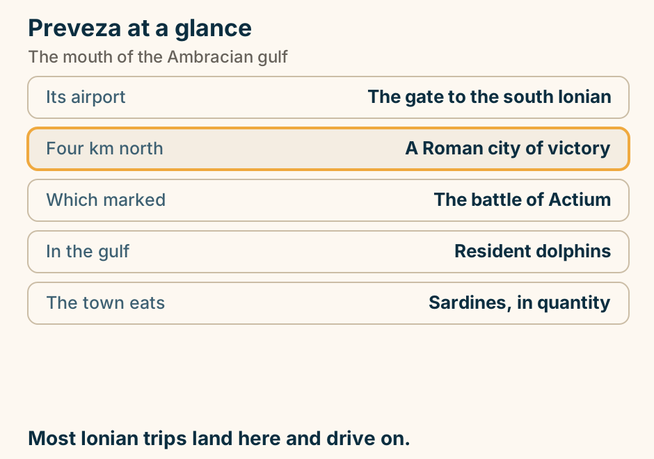
Pserimos at a glance. What it is: One village, one bay. At eleven: The day boats arrive. By five: They have all gone. The water: Shallow sand, a long way out. Other beaches: Over the hill, on foot. Stay the night. That is the whole trick. Explained on Pserimos: crowded at noon, empty by five. SVG · CC BY 4.0.
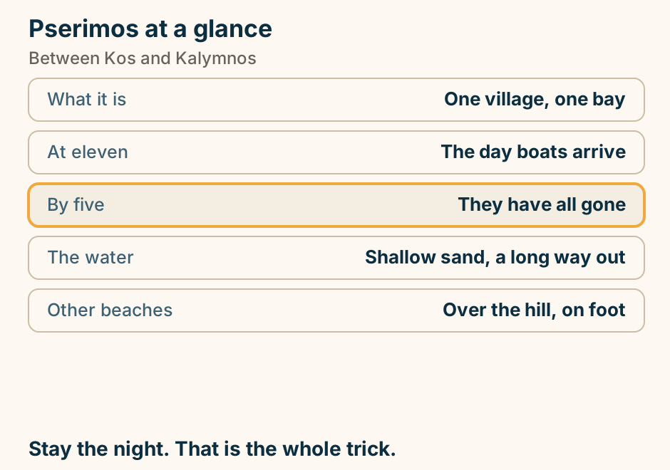
Pylos at a glance. The bay: A huge natural harbour. In it: The battle that freed Greece. The wrecks: Still on the bottom. Inland: The best Mycenaean palace. Found there: The Linear B tablets. A bay that decided a war, twice. Explained on Pylos: a harbour that decided a war, and a Mycenaean palace. SVG · CC BY 4.0.
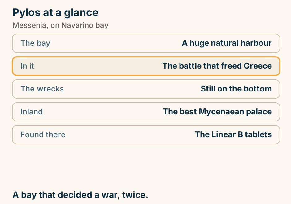
Rhodes Airport to Lindos at a glance. The KTEL bus: From town, not the airport. That leg: Long, and you start in town. Old Town: Walled and car-free. Park out. A hire car: Only if you want the west. Arrival day: Pre-book, skip the town leg. Transfer on arrival. Bus later. Explained on Rhodes airport to Lindos: the long way down the east coast. SVG · CC BY 4.0.
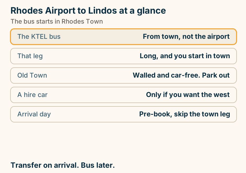
Rhodes to Karpathos at a glance. By air: A short domestic hop. By sea: Long, and weather-dependent. Why this way: Rhodes has the flights. Lands at: Pigadia, in the south. The north: A separate journey again. Fly it, or take a long boat. Explained on Rhodes to Karpathos: fly it, or take a long boat. SVG · CC BY 4.0.
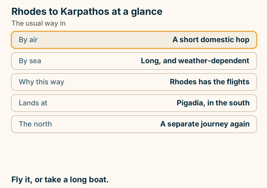
Rhodes to Karpathos: the crossing. A single line runs from Rhodes to Karpathos, marking the crossing. Down the Dodecanese, or fly it. Explained on Rhodes to Karpathos: fly it, or take a long boat. SVG · CC BY 4.0.
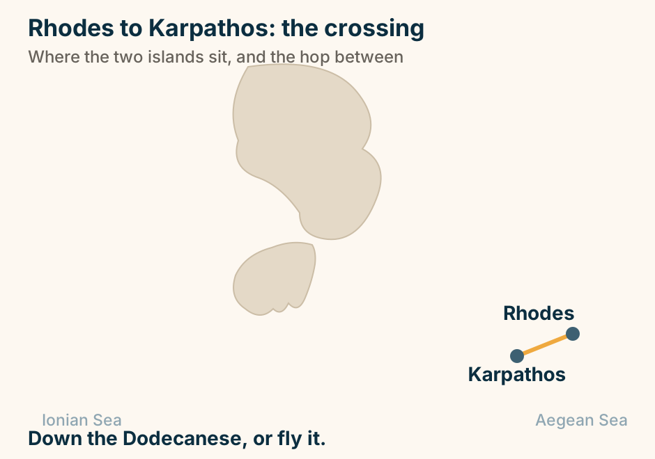
Rhodes to Kos at a glance. Fast craft: About two hours. Conventional: Up to four, and takes cars. On the way: Symi, Tilos, Nisyros. Rhodes is for: The walled medieval town. Kos is for: Flat cycling and long sand. Fly into one, out of the other. Explained on Rhodes to Kos: the main Dodecanese link. SVG · CC BY 4.0.
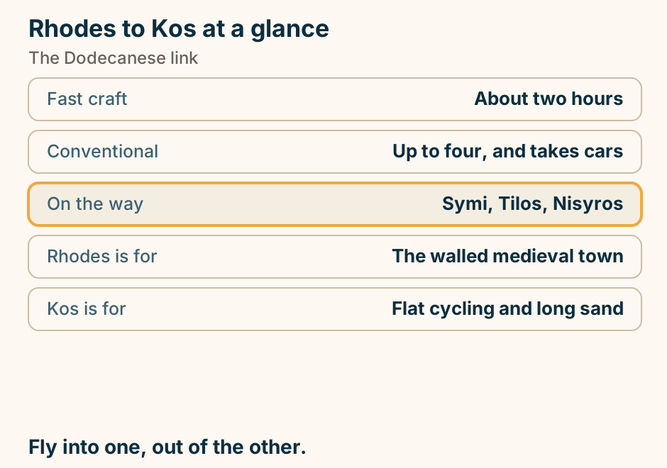
Rhodes to Kos: the crossing. A single line runs from Rhodes to Kos, marking the crossing. Up the Dodecanese, and frequent. Explained on Rhodes to Kos: the main Dodecanese link. SVG · CC BY 4.0.
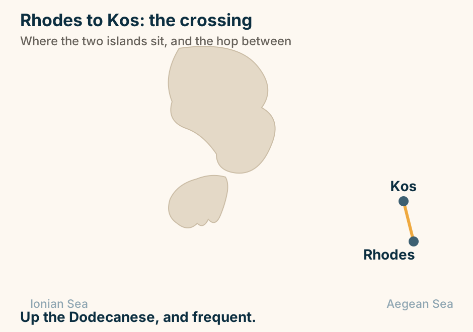
Rhodes to Symi at a glance. Most people: Come for the day. The boat: Fast catamaran, or slower. What you see: One neoclassical harbour. The climb: A stone stair to Chorio. The other stop: Panormitis monastery. Stay a night. The town empties. Explained on Rhodes to Symi: an easy crossing, and a better trip. SVG · CC BY 4.0.
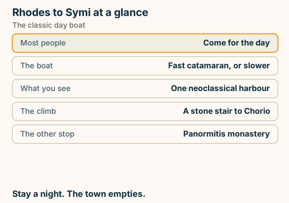
Rhodes to Symi: the crossing. A single line runs from Rhodes to Symi, marking the crossing. A short crossing from Rhodes Town. Explained on Rhodes to Symi: an easy crossing, and a better trip. SVG · CC BY 4.0.
Salamina at a glance. The battle: Fought in this strait. To see of it: Almost nothing. The island now: A residential suburb. The crossing: Ten minutes, constant. Better nearby: Aegina, or Agistri. A famous battle, and a commuter island. Explained on Salamina: a battle everyone knows, and an island nobody visits. SVG · CC BY 4.0.
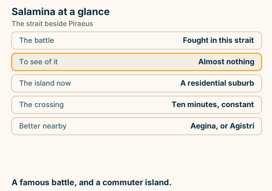
Saliara at a glance. What it is: A small brilliant-white cove. Why white: The sand is ground marble. Getting there: Down a rough track. We give: No surface grade for it. The island: Quarried since antiquity. The white is not a filter. It is the rock. Explained on Saliara: a cove where the sand is ground marble. SVG · CC BY 4.0.
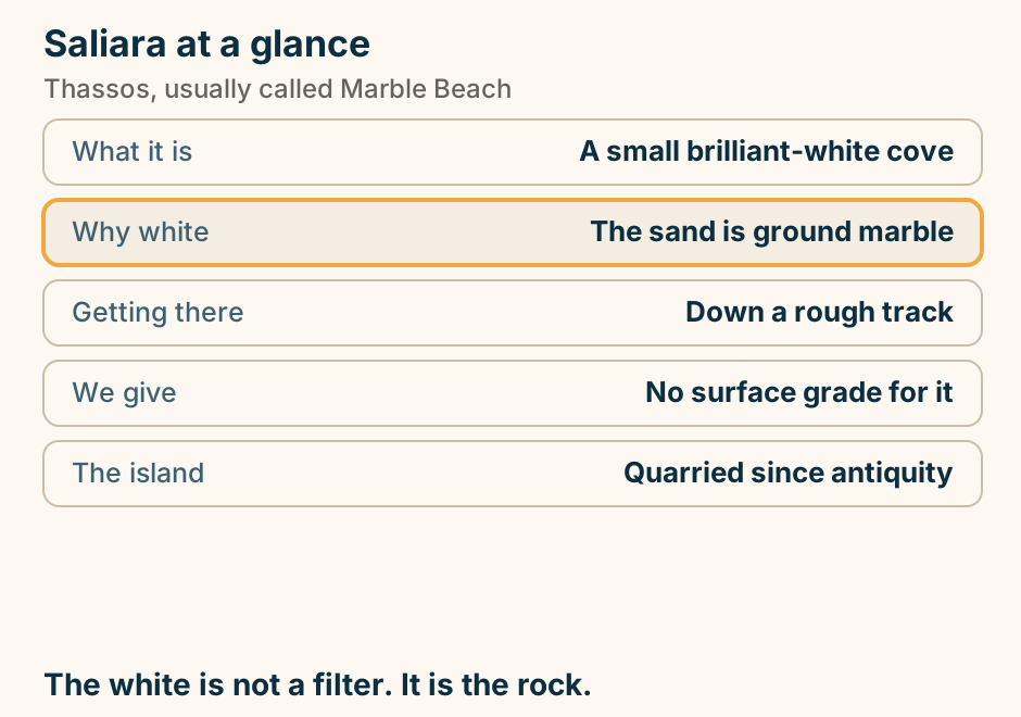
Samos to Patmos at a glance. The crossing: Short, and seasonal. Leaves from: Pythagorio, or Vathy. On arrival: Skala, below the Chora. Why go: The monastery, and the cave. Dress code: Shoulders and knees. Short, and worth a night. Explained on Samos to Patmos: the crossing between two island groups. SVG · CC BY 4.0.
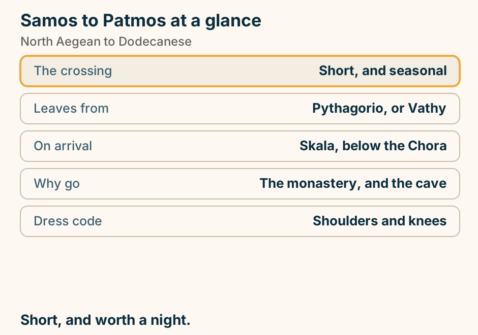
Samos to Patmos: the crossing. A single line runs from Samos to Patmos, marking the crossing. The crossing between two island groups. Explained on Samos to Patmos: the crossing between two island groups. SVG · CC BY 4.0.
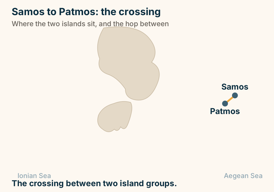
Samothraki at a glance. What it is: Steep granite and forest. The draw: Waterfall pools in gorges. Above it: The highest Aegean peak. On the coast: A mystery-cult sanctuary. One route in: Alexandroupoli only. A mountain in the sea. Come for the water in it. Explained on Samothraki: rock pools, a mountain, and the Great Gods. SVG · CC BY 4.0.
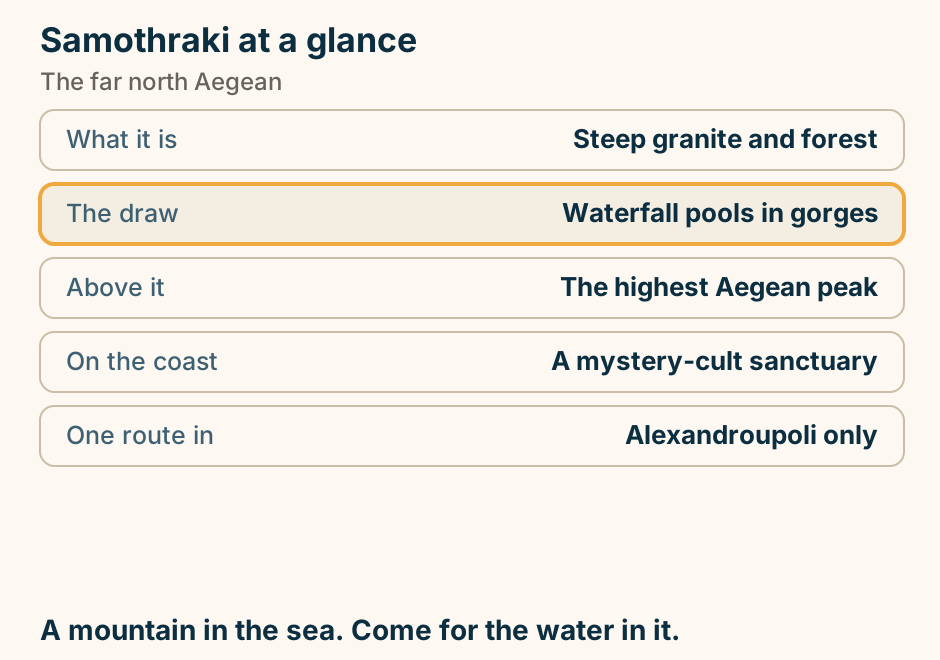
Santorini Airport to Oia at a glance. Taxis: Famously few on the island. The bus: Via Fira, and cash only. Worst hour: Sunset, everyone wants Oia. A hire car: A day rate, not a transfer. Skip: Quads and ATVs, with bags. Pre-book the arrival. Bus after. Explained on Santorini airport to Oia: why it is two legs, not one. SVG · CC BY 4.0.
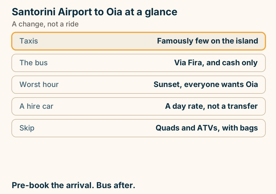
Santorini to Folegandros: the crossing. A single line runs from Santorini to Folegandros, marking the crossing. West, off the busy chain. Explained on Santorini to Folegandros: an hour to the quiet version. SVG · CC BY 4.0.
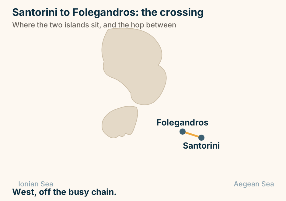
Santorini to Ios: the crossing. A single line runs from Santorini to Ios, marking the crossing. The next island north, under an hour away. Explained on Santorini to Ios: forty minutes to a different crowd. SVG · CC BY 4.0.
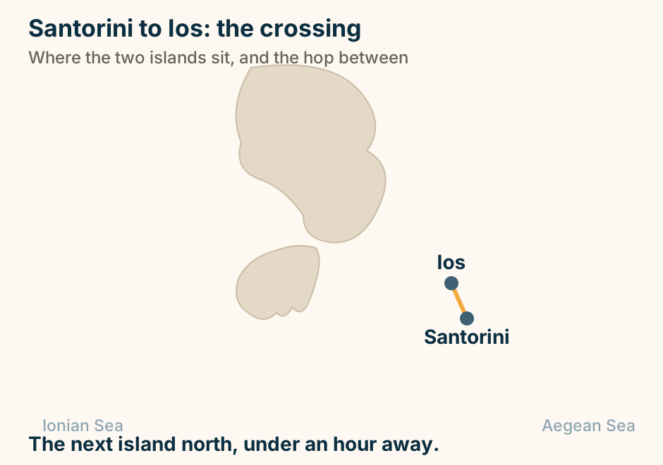
Santorini to Milos: the crossing. A single line runs from Santorini to Milos, marking the crossing. Two volcanic islands, linked all year round. Explained on Santorini to Milos: two volcanoes, one crossing. SVG · CC BY 4.0.
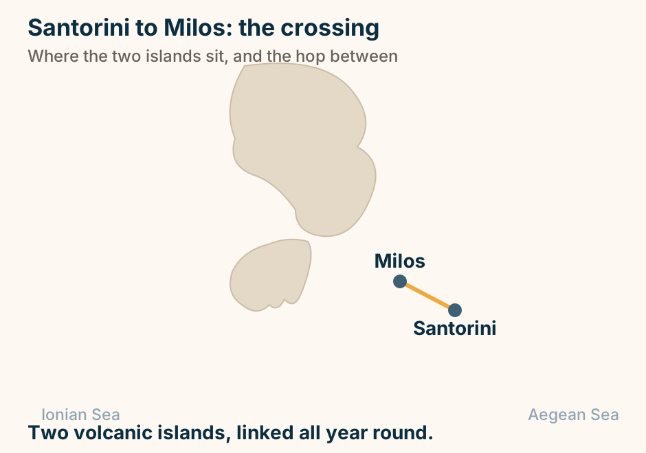
Schinoussa at a glance. What it is: A very small island. Its coastline: Around eighteen beaches. None of them: Organised in any way. Getting about: On foot. That is all. Nightlife: There is none. One village, and a coast made of coves. Explained on Schinoussa: one village, and a coast made entirely of coves. SVG · CC BY 4.0.
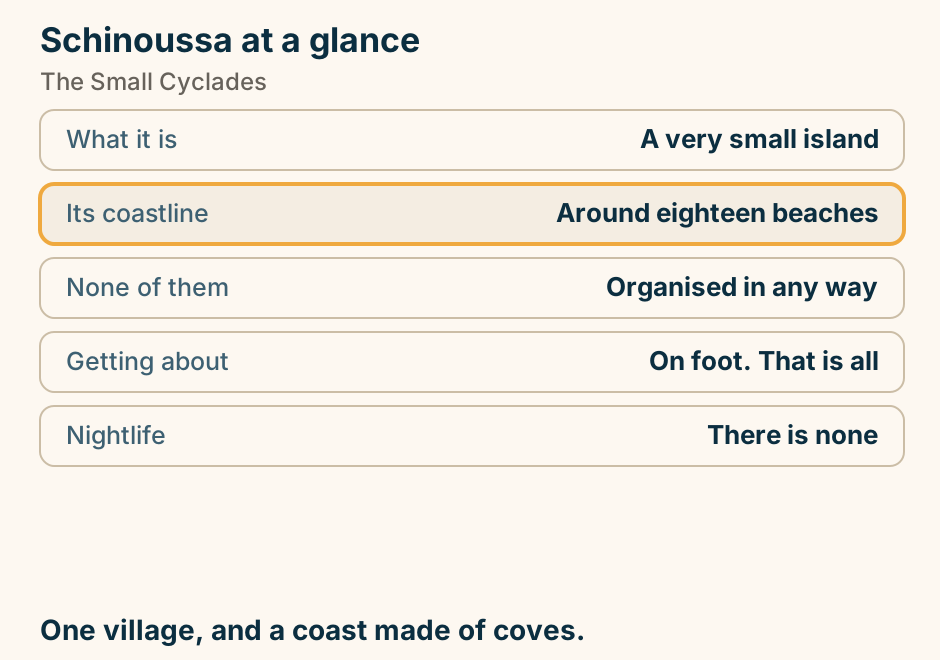
Serres at a glance. In the centre: An Ottoman market hall. The real draw: A large cave, 25km east. In that cave: A small train, and helictites. North of it: A major bird wetland. It is known for: A rosewater sweet. The town is fine. The surroundings are the reason. Explained on Serres: a plain, a fortress hill, and a cave with a train in it. SVG · CC BY 4.0.
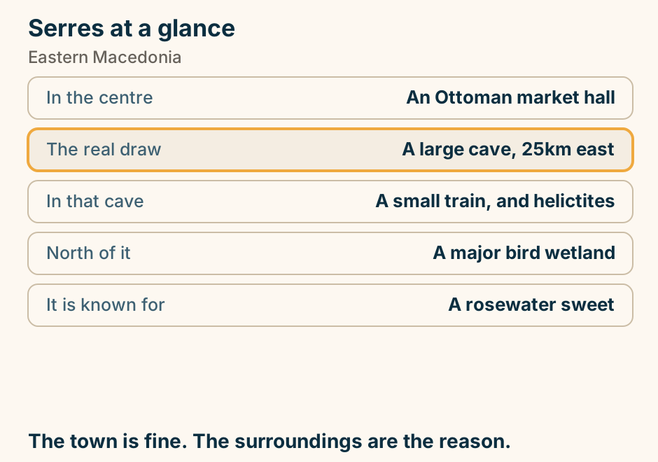
Sikinos at a glance. What it is: Terraced, small, quiet. The curiosity: A Roman tomb turned church. The villages: Two, joined on a ridge. Growing again: Wine on the old terraces. Beaches: Few, and unorganised. One road, and a building with three lives. Explained on Sikinos: a ridge, a road, and a church inside a Roman tomb. SVG · CC BY 4.0.
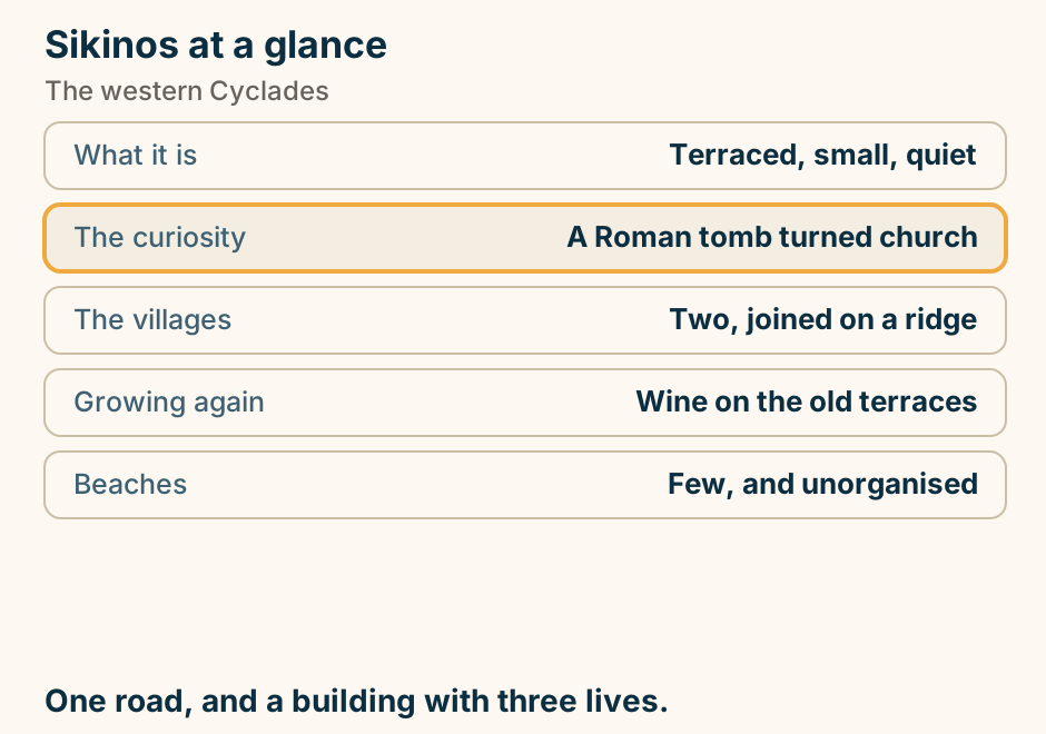
Sithonia at a glance. What it is: The green middle peninsula. How to see it: One coastal ring road. The coves: Sculpted pale rock, east side. Across the gulf: Mount Athos, in full. The crowd: Mostly Greek. Drive the ring road. That is the peninsula. Explained on Sithonia: pine, coves and a ring road. SVG · CC BY 4.0.
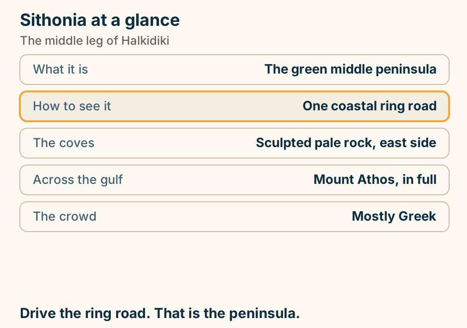
Sivota at a glance. What it is: A harbour among islets. Why go: Ionian water, mainland prices. The famous bay: A sandbar to an islet. Reaching them: By small boat, not by road. On the horizon: Corfu and Paxos. Hire a boat. The best of it has no road. Explained on Sivota: an archipelago attached to the mainland. SVG · CC BY 4.0.
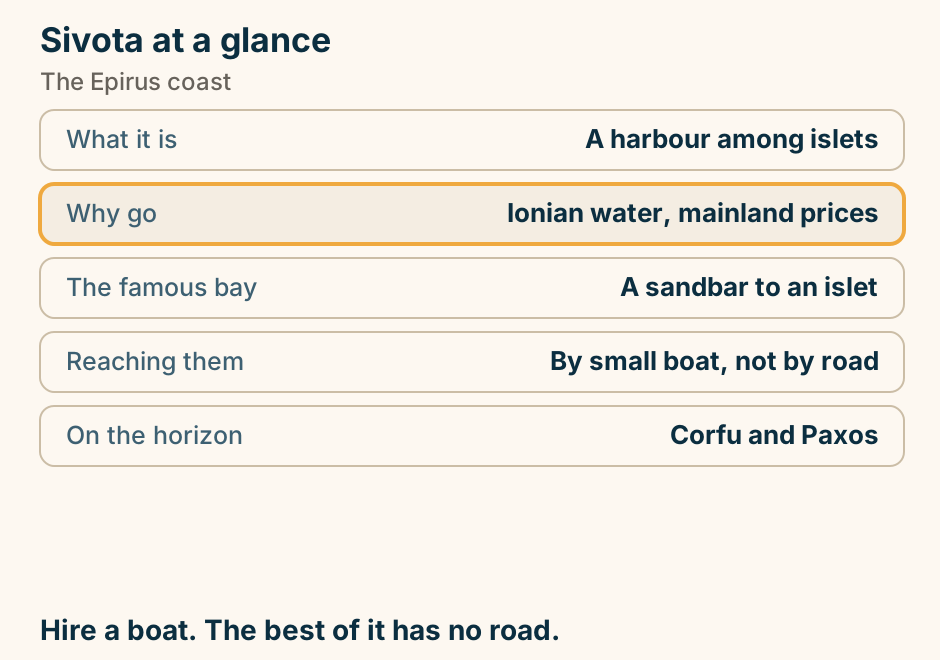
Skiathos to Skopelos at a glance. Fast craft: About thirty minutes. Conventional: Up to seventy-five. Ports on Skopelos: Two, forty minutes apart. The difference: Nightlife, or pine forest. On the rock: The chapel from the film. Check which of the two ports you land at. Explained on Skiathos to Skopelos: a short hop, and two possible ports. SVG · CC BY 4.0.
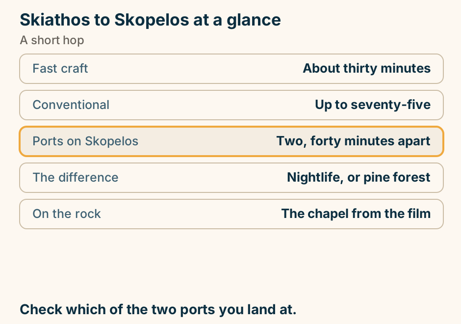
Skiathos to Skopelos: the crossing. A single line runs from Skiathos to Skopelos, marking the crossing. The shortest hop in the Sporades. Explained on Skiathos to Skopelos: a short hop, and two possible ports. SVG · CC BY 4.0.
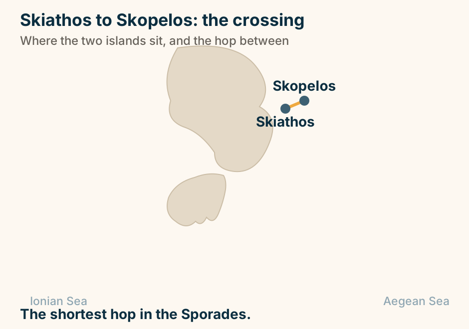
Skyros at a glance. The north: Pine and farmland. The south: Bare mountain, near empty. The chora: Cycladic, under a castle. Native to it: A small pony breed. Getting there: Ferry from Evia. Two islands joined in the middle. Explained on Skyros: a green half, a bare half, and a village on a rock. SVG · CC BY 4.0.
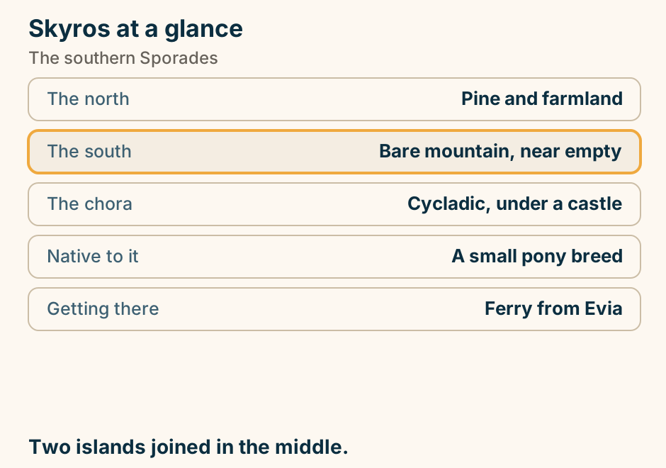
Sparta at a glance. What survives: Very little, by design. Predicted by: Thucydides, and correctly. Worth an hour: The museum. The real reason: Mystras, five km away. Above it: Taygetos, and it is steep. The ruins are missing because they were never built. Explained on Sparta: the ruins that were never built. SVG · CC BY 4.0.
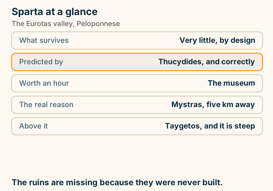
Syros at a glance. What it is: Capital of the Cyclades. Why it differs: A neoclassical port city. Two hills: One Catholic, one Orthodox. Also here: An opera house, a shipyard. Beaches: Modest. Not the point. A city that happens to be an island. Explained on Syros: a working city that happens to be a Cycladic island. SVG · CC BY 4.0.
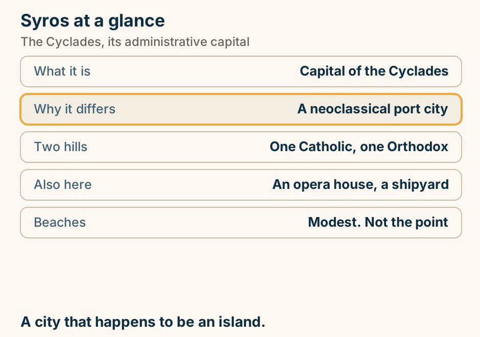
Syros to Tinos at a glance. The crossing: Short, and frequent. Not from Piraeus: Tinos runs from Rafina. On arrival: The Chora, at the harbour. Take a car: The villages are the island. One date: Mid-August fills it. A city, then a countryside. Explained on Syros to Tinos: a short hop between two opposites. SVG · CC BY 4.0.
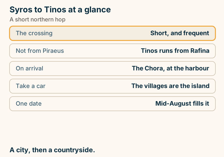
Syros to Tinos: the crossing. A single line runs from Syros to Tinos, marking the crossing. A short hop in the northern Cyclades. Explained on Syros to Tinos: a short hop between two opposites. SVG · CC BY 4.0.
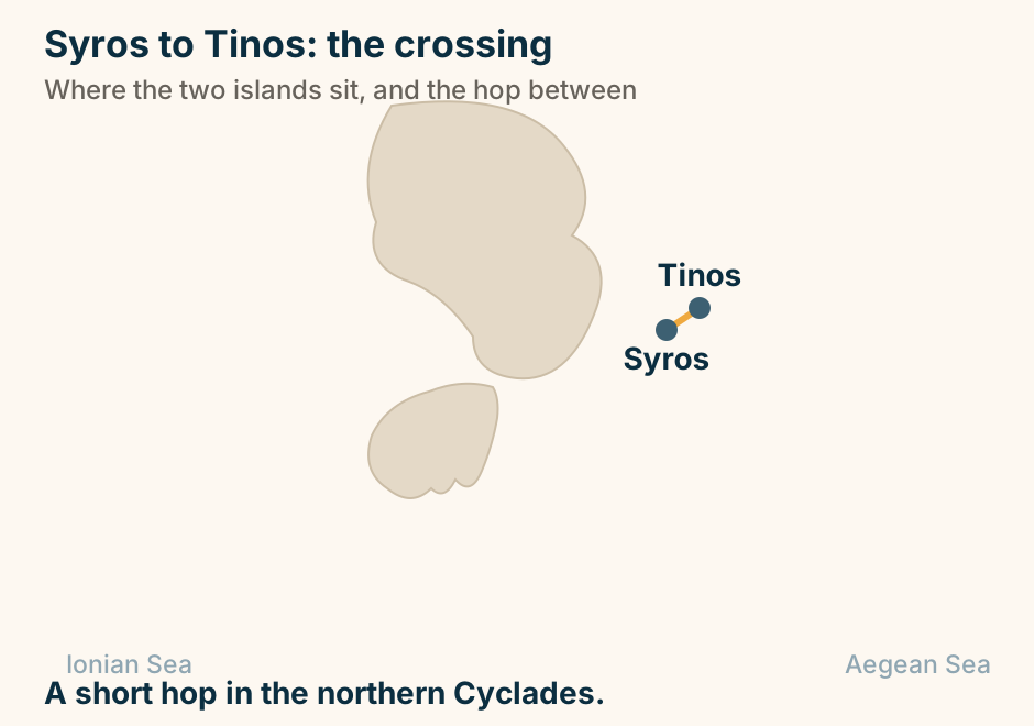
Thassos at a glance. What it is: A round, forested island. Getting there: A short car ferry. The shape: One ring road, 100km. The stone: White marble, still quarried. Inland: Cooler mountain villages. The green island, half an hour off the mainland. Explained on Thassos: pine forest, white marble and a short ferry. SVG · CC BY 4.0.
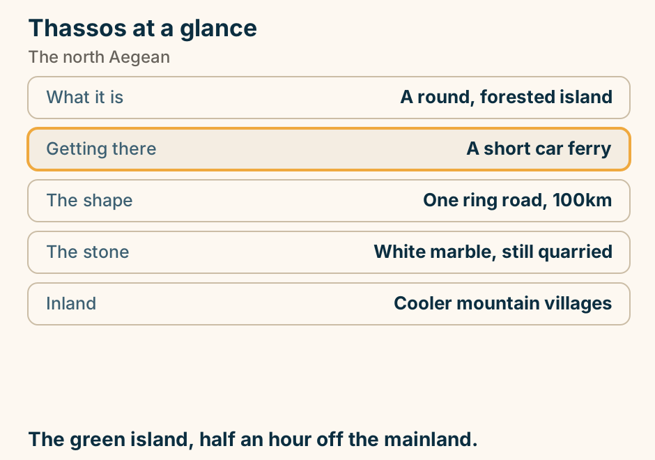
The Acheron at a glance. What it is: A river and its springs. The ancients: Believed it ran to the dead. The springs: At Glyki, icy and clear. What people do: Wade upstream through it. Nearby: The Nekromanteion. Cold, clear water where the underworld was believed to start. Explained on The Acheron: the river the ancients took for the underworld. SVG · CC BY 4.0.
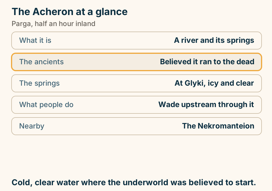
The Corinth Canal at a glance. What it is: A cut through the isthmus. The drop: Ninety metres of rock. The width: Too narrow for modern ships. So traffic is: Yachts and small boats. The oddity: Bridges that sink, not lift. Ten minutes on a bridge, and worth stopping for. Explained on The Corinth Canal: a straight line cut 90 metres down. SVG · CC BY 4.0.
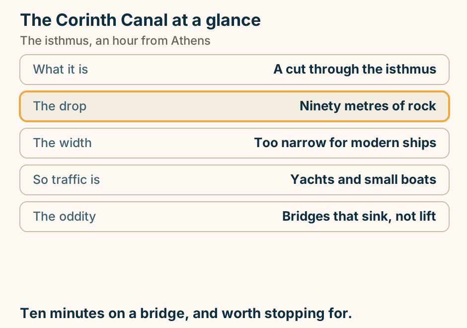
The Diros caves at a glance. What they are: Among the best caves in Greece. How you see them: By boat, through the chambers. Then: A short walk out. Setting: The deep Mani coast. Pair with: Vathia and the tower villages. Most of the visit happens sitting in a boat. Explained on The Diros caves: most of the visit is in a boat. SVG · CC BY 4.0.
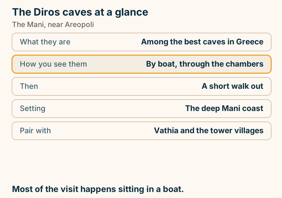
The Greek islands fall into four ferry groups, plus Crete. Ferries fan out from Athens to four separate island groups: the Cyclades, the Dodecanese, the Saronic islands and the Ionian islands. Crete has its own overnight crossing and is not a hopping group. There is rarely a direct ferry between one group and another, so to change groups you come back to Athens. SVG · CC BY 4.0.
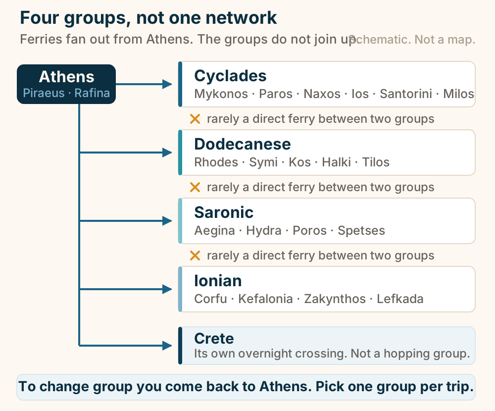
The Kastro at a glance. What it is: A walled Ottoman citadel. Our claim: Best preserved in Greece. Setting: On a lake, in Epirus. In the lake: An inhabited island. On the island: The Ali Pasha house museum. Still an inhabited quarter rather than a ruin. Explained on The Kastro: a walled citadel on a lake, still lived in. SVG · CC BY 4.0.
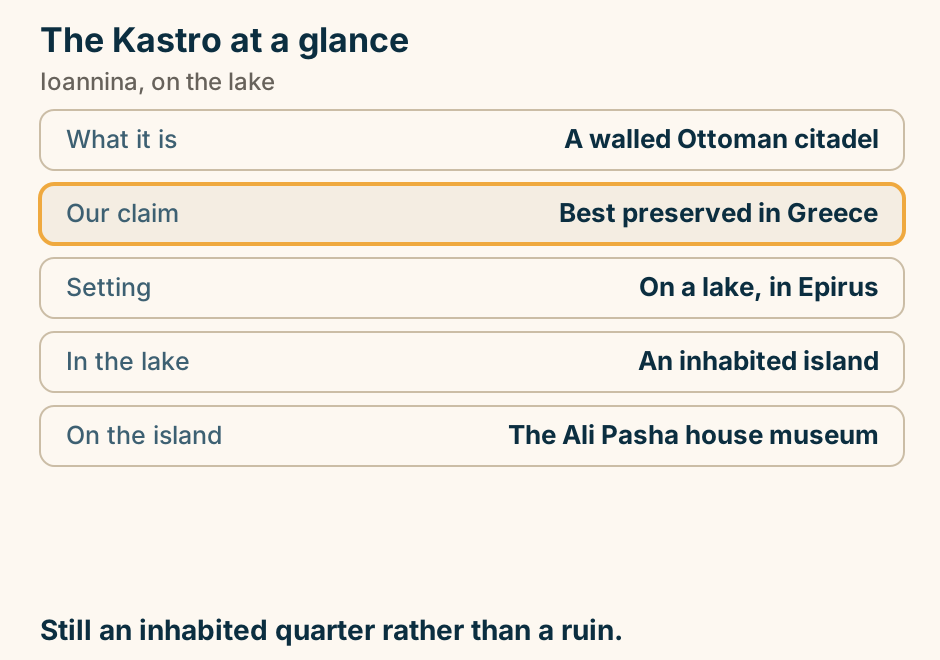
The Mani at a glance. What it is: Bare limestone and towers. Those towers: Built to feud from. The north-west: Green, with beaches. The deep south: Bare and spectacular. Underground: A cave river, seen by boat. The one Greek landscape that looks fortified. Explained on The Mani: a peninsula of fortified towers. SVG · CC BY 4.0.
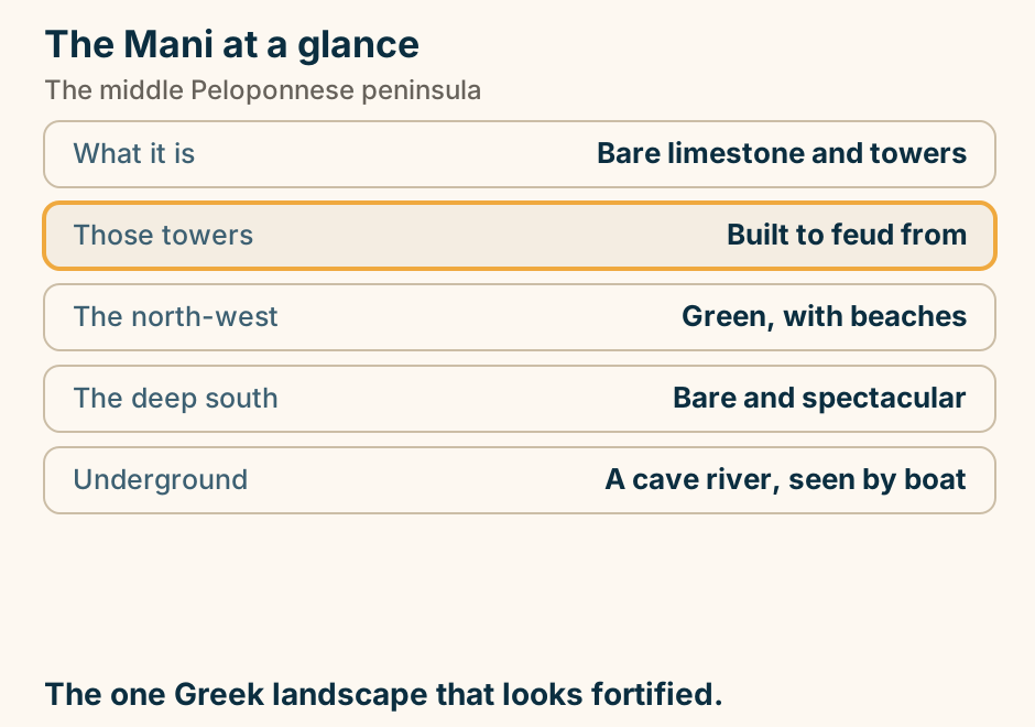
The Panagia quarter at a glance. What it is: The old quarter on a headland. The houses: Overhanging upper storeys. On the summit: The castle. The Imaret: An Ottoman charitable complex. Below: The aqueduct across the town. Stepped lanes to a castle, with the Imaret below. Explained on Panagia: the old quarter, the castle and the Imaret. SVG · CC BY 4.0.
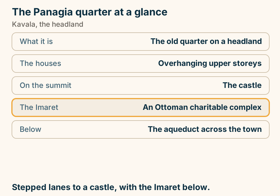
The Rio-Antirrio bridge at a glance. What it is: A cable-stayed bridge. Our claim: Among the longest in the world. It carries: The road to Epirus. What it replaced: A ferry across the gulf. We print: No span, height or toll. Engineering tourism you cross anyway. Explained on The Rio-Antirrio bridge: a crossing worth making on purpose. SVG · CC BY 4.0.
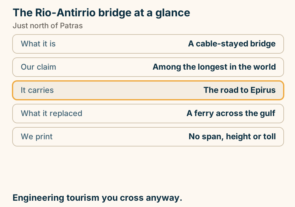
The Vikos gorge at a glance. What it is: A limestone canyon. Cited as: Among the deepest in the world. The measure: Depth against width. Viewpoints: A short walk from villages. Through-walk: A mountain route. Look into it, or walk through it. Not both in a day. Explained on The Vikos gorge: look into it, or walk through it. SVG · CC BY 4.0.
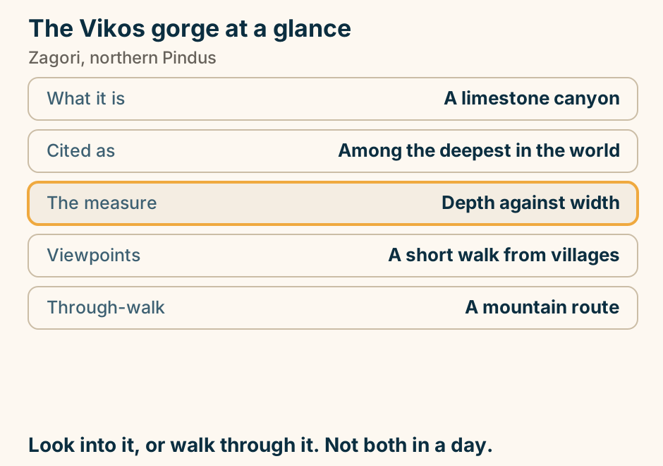
The wind direction, and the sheltered coast. A schematic map of the Aegean with three wind arrows. In the north Aegean the meltemi blows from the north-east, and the sheltered side is a south or south-west coast. In the central Aegean it blows from the north, and the sheltered side is a south coast in the Cyclades, as on Mykonos, Paros and Ios. Over the Dodecanese it blows from the north-west, and the sheltered side is an east or south-east coast, as on Rhodes and Karpathos. West of the mainland, a label reads: the Ionian has a different wind, and its sheltered water is on the east-facing coasts. The closing line reads: swim on the coast the wind leaves. Explained on The best beaches in Greece, sorted by the day you want. SVG · CC BY 4.0.
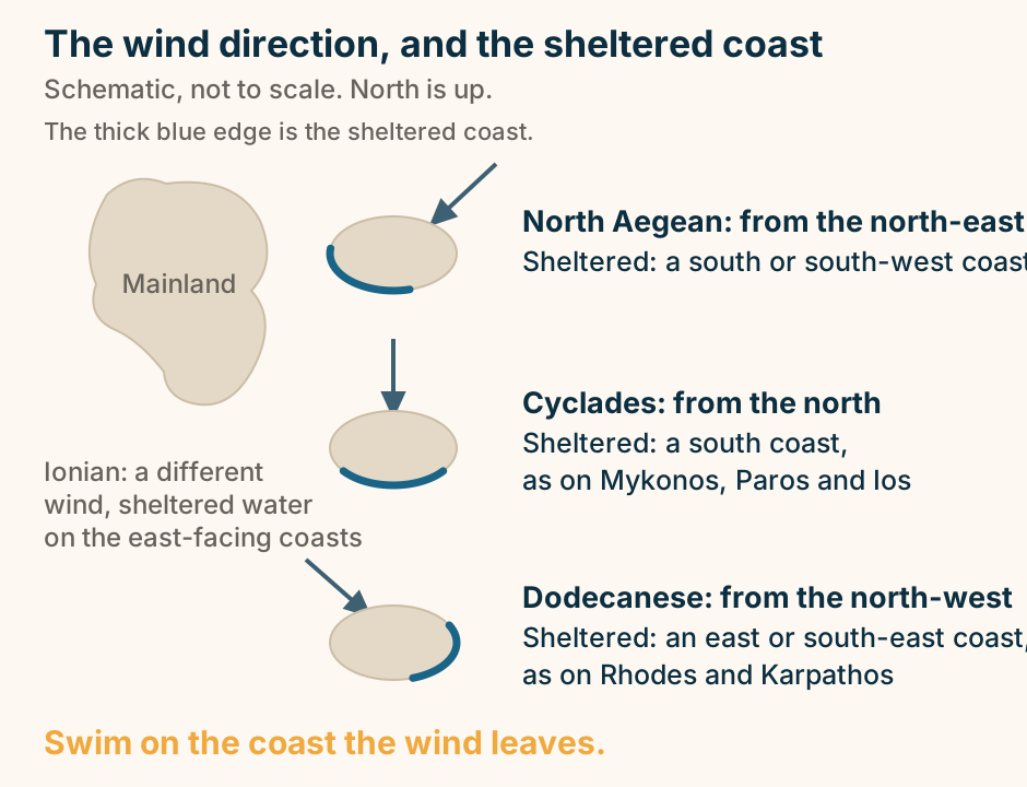
Thessaloniki to Halkidiki: the journey. A single line runs overland from Thessaloniki to Halkidiki, marking the journey. No sea crossing is involved. Overland. Halkidiki is a drive, not a sail. Explained on Thessaloniki to Halkidiki: the drive is easy, the choice is not. SVG · CC BY 4.0.
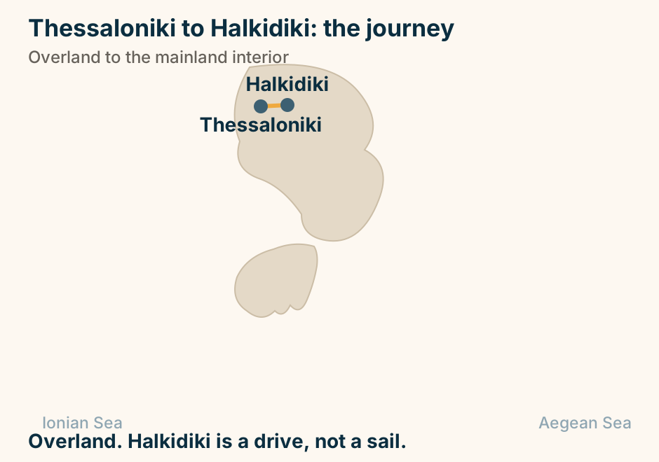
Thessaloniki to Meteora: the journey. A single line runs overland from Thessaloniki to Meteora, marking the journey. No sea crossing is involved. Overland, south-west from the city. Explained on Thessaloniki to Meteora: how to get there, and whether to stay. SVG · CC BY 4.0.
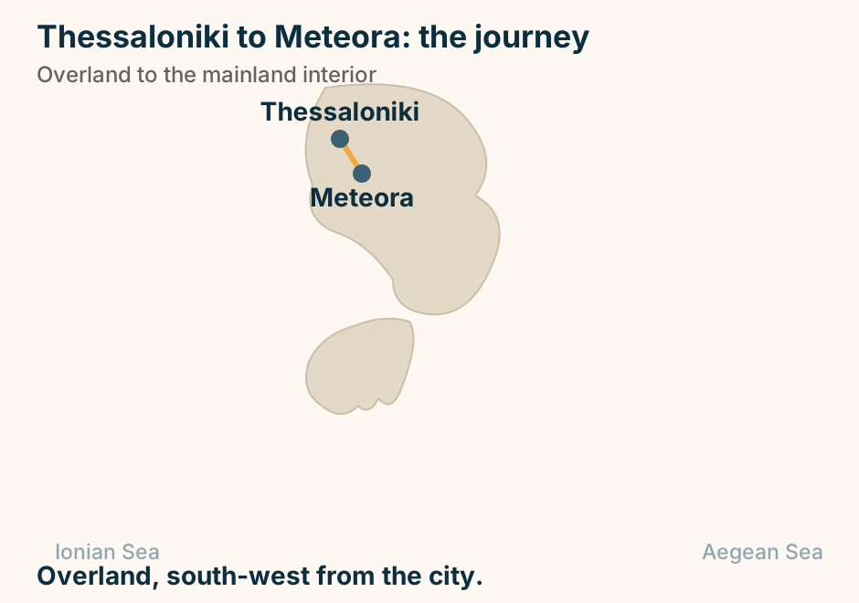
Thessaloniki to Skiathos: the crossing. A single line runs from Thessaloniki to Skiathos, marking the crossing. Seasonal by sea, or overland to Volos. Explained on Thessaloniki to Skiathos: check the season before you plan. SVG · CC BY 4.0.
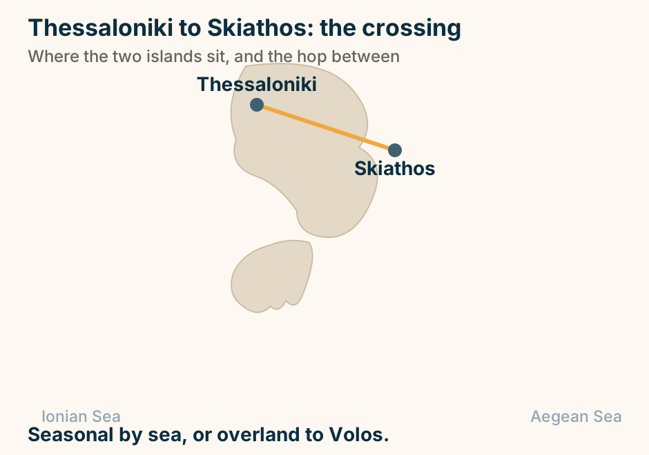
Thessaloniki to Thassos: the crossing. A single line runs from Thessaloniki to Thassos, marking the crossing. Overland to the coast, then a short crossing. Explained on Thessaloniki to Thassos: the drive, then a short ferry. SVG · CC BY 4.0.
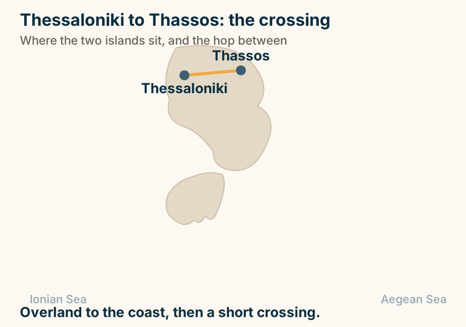
Tinos to Mykonos at a glance. Fast craft: About twenty minutes. How often: Many times a day. The difference: A pilgrimage, or a party. Which Mykonos port: Town, or the new one north. In between: Delos, and its ruins. Sleep on one, fly from the other. Explained on Tinos to Mykonos: twenty minutes, and a complete change of subject. SVG · CC BY 4.0.
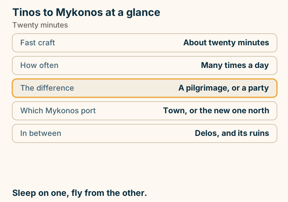
Tinos to Mykonos: the crossing. A single line runs from Tinos to Mykonos, marking the crossing. A short hop, and often the airport connection. Explained on Tinos to Mykonos: twenty minutes, and a complete change of subject. SVG · CC BY 4.0.
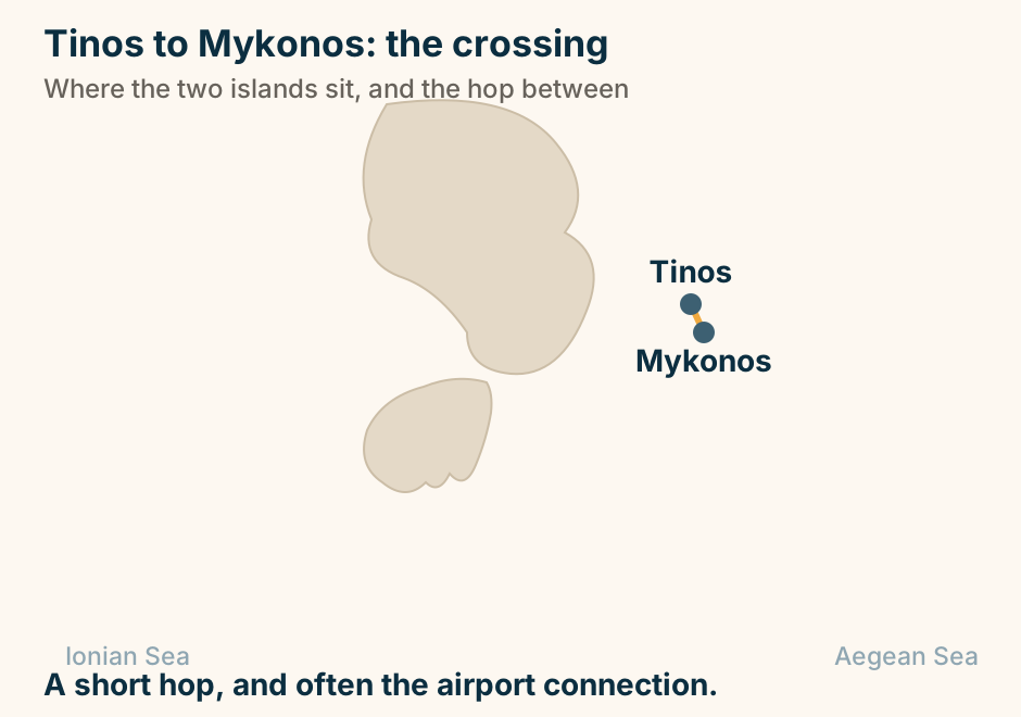
To Folegandros at a glance. Fast craft: Forty-five minutes or so. Conventional: Up to two hours. What you get: The view, minus the crowd. The port: Not the village. Take the bus. Rooms: Few. Book far ahead. Do not day-trip it. The evening is the point. Explained on Santorini to Folegandros: an hour to the quiet version. SVG · CC BY 4.0.
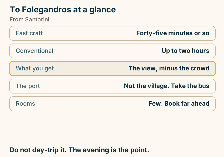
To Halkidiki at a glance. How far: One to two hours. Which bus station: The Halkidiki one. First peninsula: Kassandra, and the resorts. Second peninsula: Sithonia, and the coves. Third peninsula: Athos, and a permit. The drive is easy. The choice is not. Explained on Thessaloniki to Halkidiki: the drive is easy, the choice is not. SVG · CC BY 4.0.
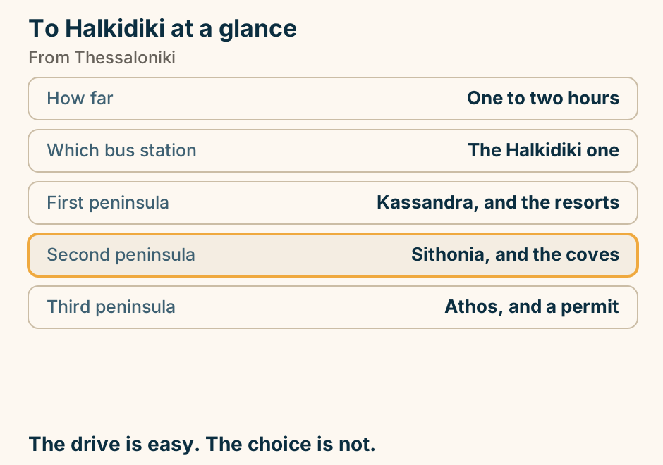
To Koufonisia at a glance. The crossing: One to two hours. The line: The Small Cyclades. The island: One village, walkable. The water: Shallow, and luminous. When to go: June or September. Take the local boat. Not August. Explained on Naxos to Koufonisia: an hour or two, and a much smaller island. SVG · CC BY 4.0.
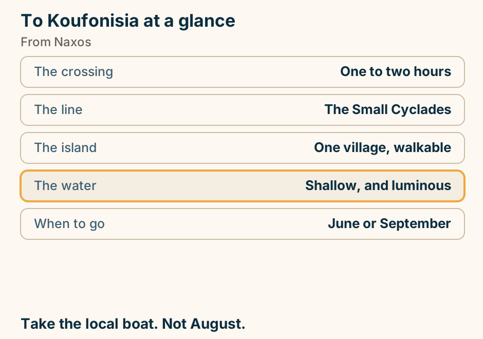
To Meteora at a glance. By road: About three hours. By rail: Branch out of service. Day trip: Six hours of travel. What staying buys: Sunrise, and sunset. Monasteries open: Six, on rotating days. Stay the night. The day trip wastes it. Explained on Thessaloniki to Meteora: how to get there, and whether to stay. SVG · CC BY 4.0.
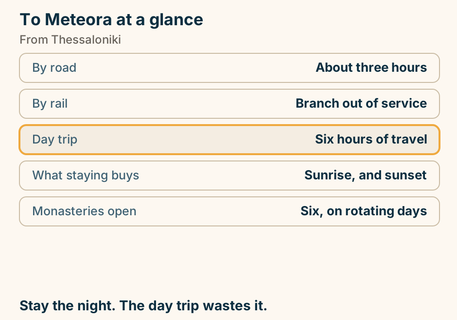
To Monemvasia at a glance. By road: About four hours. By bus: Five to six. By boat: Seasonal at best. Cars in the town: None. You walk. Wheeled luggage: The wrong bag entirely. Park at the causeway. Then walk in. Explained on Athens to Monemvasia: four hours, then you walk in. SVG · CC BY 4.0.
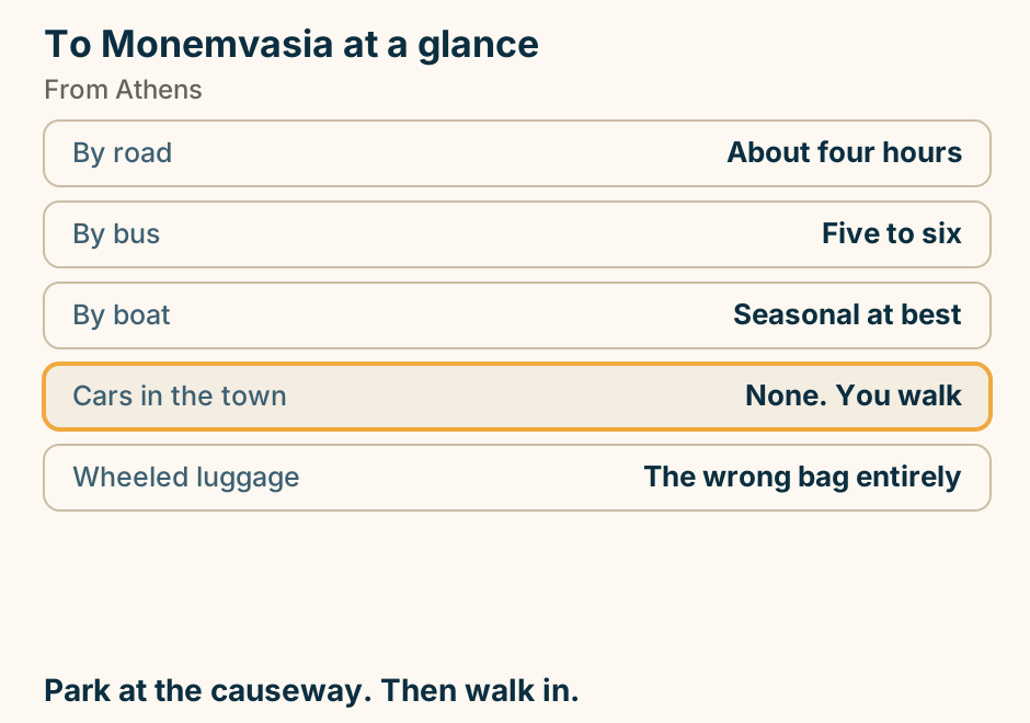
To Skiathos at a glance. Direct boat: Seasonal. Check the year. The reliable way: Drive to Volos, then sail. That drive: About two and a half hours. With a car: Volos is the only option. Worth the stop: Volos, and the Pelion. The direct boat is a summer thing only. Explained on Thessaloniki to Skiathos: check the season before you plan. SVG · CC BY 4.0.
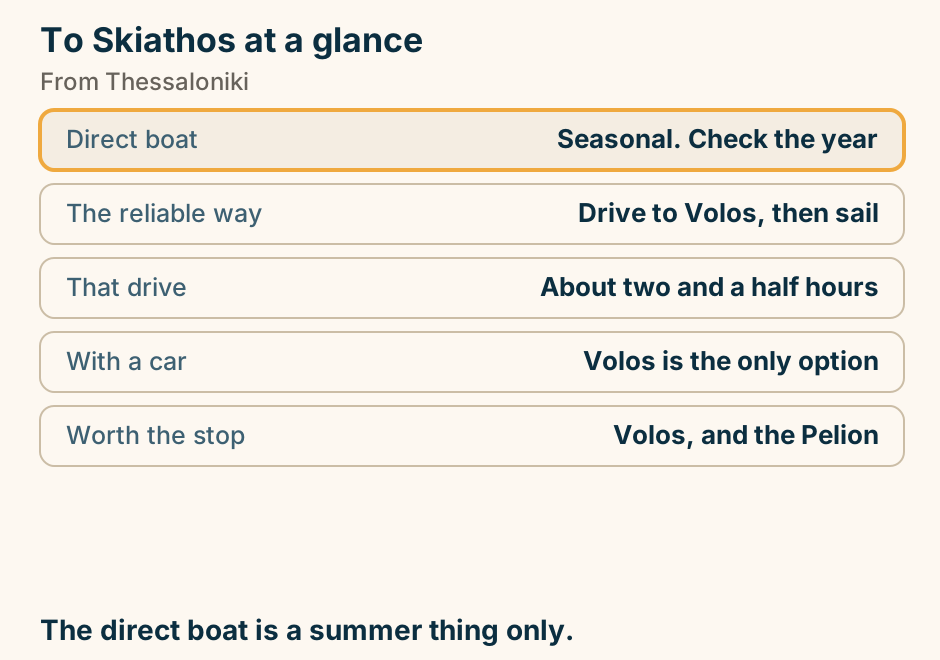
Tolo at a glance. What it is: A long shallow sandy bay. Why it exists: Nafplio has no real beach. Offshore: Three small islands. Around it: Mycenae, Epidaurus, Tiryns. Its looks: Functional, not beautiful. Sites in the morning, sand in the afternoon. Explained on Tolo: where Nafplio goes to swim. SVG · CC BY 4.0.
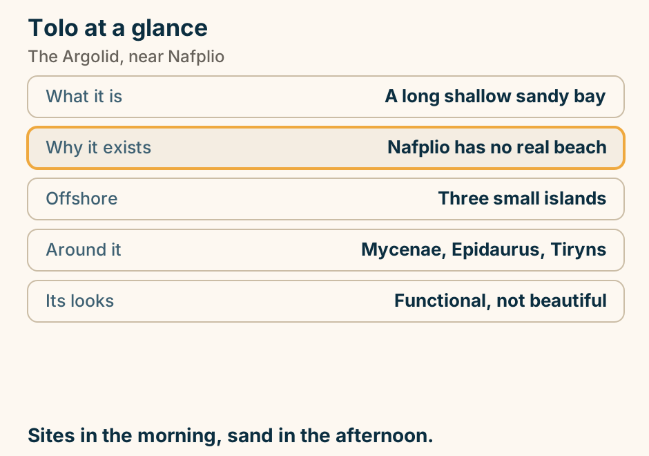
Tripoli at a glance. What it is: A high plateau town. Its real function: The Peloponnese junction. Worth an hour: The archaeological museum. On the plateau: Moschofilero vineyards. Why it looks new: Burned in 1821, rebuilt. Everyone drives through. Few stop. Explained on Tripoli: the junction the whole Peloponnese drives through. SVG · CC BY 4.0.
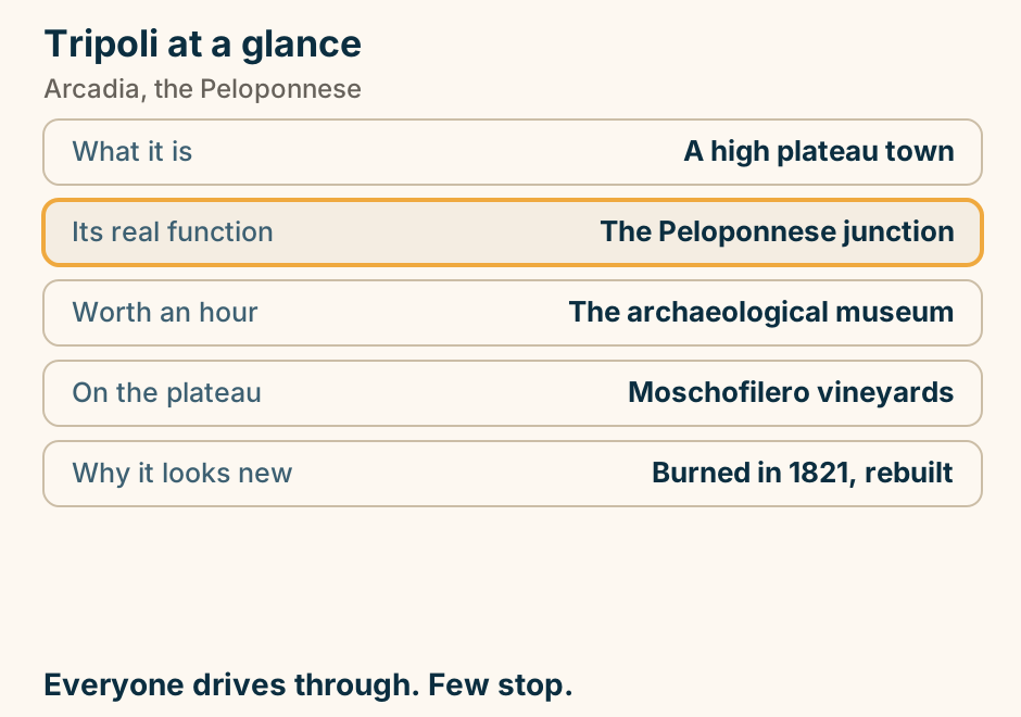
Tzoumerka at a glance. What it is: Sheer limestone peaks. Compared with Zagori: The same, far less visited. Over the gorges: Stone packhorse bridges. One of them: Rebuilt after a flood. In spring: Rafting on the Arachthos. Zagori country, without the visitors. Explained on Tzoumerka: a wall of limestone with villages stuck to it. SVG · CC BY 4.0.
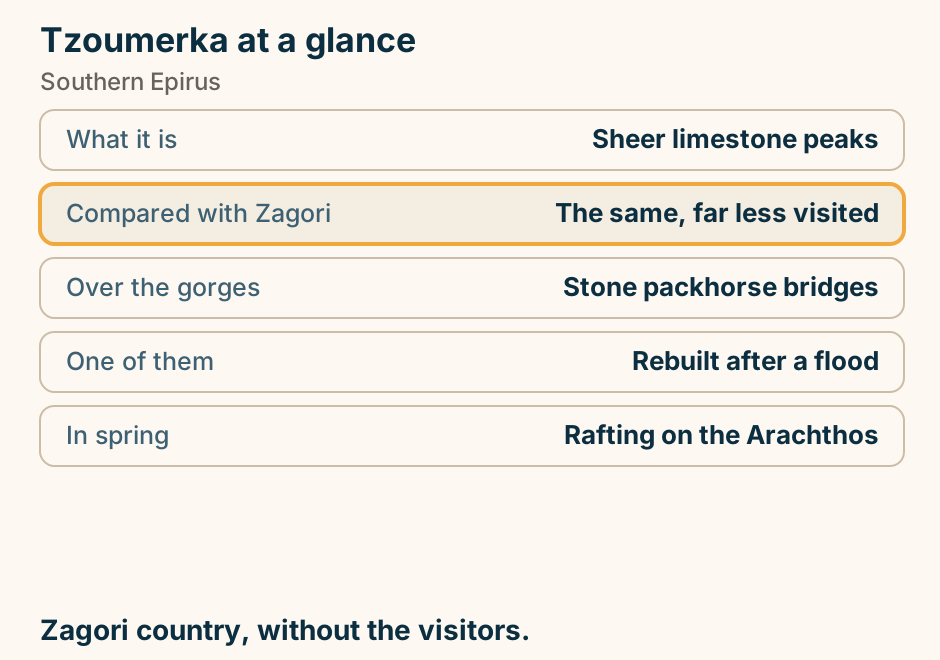
Valtos at a glance. What it is: The biggest beach at Parga. On foot: Fifteen minutes over the hill. The walk passes: The Venetian castle. Or: By water taxi. Most convenient: Kryoneri, in front of town. Walk it once for the castle. Take the boat after that. Explained on Valtos: the walk there is worth doing once. SVG · CC BY 4.0.
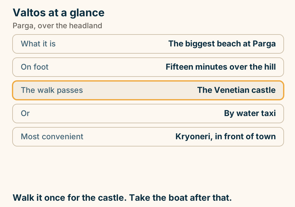
Varlaam at a glance. What it is: A working monastery. It kept: The rope-and-net winding tower. Once hauled: Everything and everyone. Of the original: Six monasteries remain. Dress code: Enforced. The tower explains the whole place. Explained on Varlaam: the monastery that kept its winding tower. SVG · CC BY 4.0.
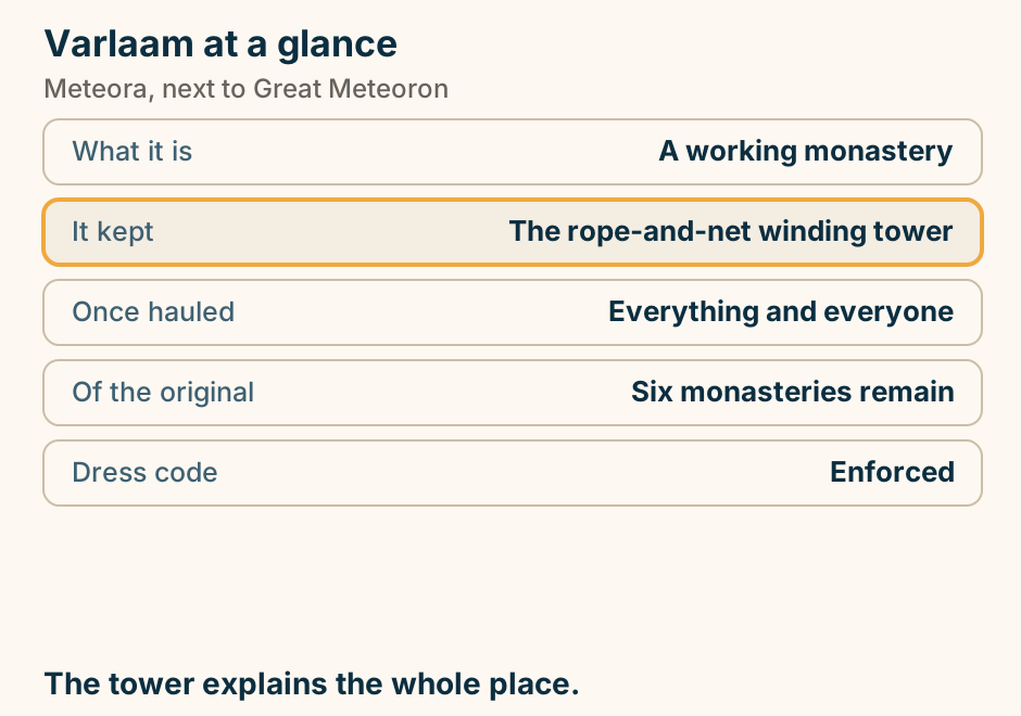
Vathia at a glance. What it is: A cluster of stone towers. Condition: Mostly roofless. Why towers: Feuding families built up. Now: Largely empty. The region: Splits into three Manis. Towers on a bare hill, unlike anywhere else in Greece. Explained on Vathia: a cluster of towers on a bare hill. SVG · CC BY 4.0.
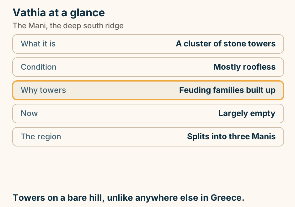
Vergina at a glance. What it is: The Macedonian royal tombs. Why it matters: One was found unlooted. The display: Inside the mound itself. Whose tomb: Argued over, not settled. Above it: The palace, and a theatre. The one royal tomb the robbers never reached. Explained on Vergina: a royal tomb that grave robbers never found. SVG · CC BY 4.0.
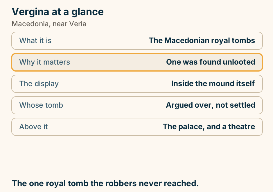
Veria at a glance. What it holds: Around fifty Byzantine churches. The catch: Most are locked and unmarked. See this one: The Church of Christ. Also here: A preserved Jewish quarter. Twenty minutes: Vergina. Fifty churches, and most look like houses. Explained on Veria: fifty Byzantine churches, mostly behind doors. SVG · CC BY 4.0.
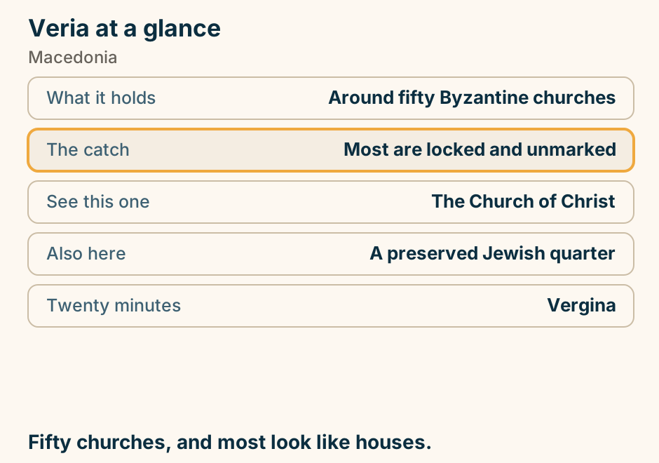
Voidokilia at a glance. Its shape: A near-perfect semicircle. Behind it: A protected lagoon. Which means: No bar, no beds, no road. Above it: A cave and a Frankish castle. Bring: Water and shade. There is none. Nothing is built on it, and there is a reason. Explained on Voidokilia: a circle of sand with a lagoon behind it. SVG · CC BY 4.0.
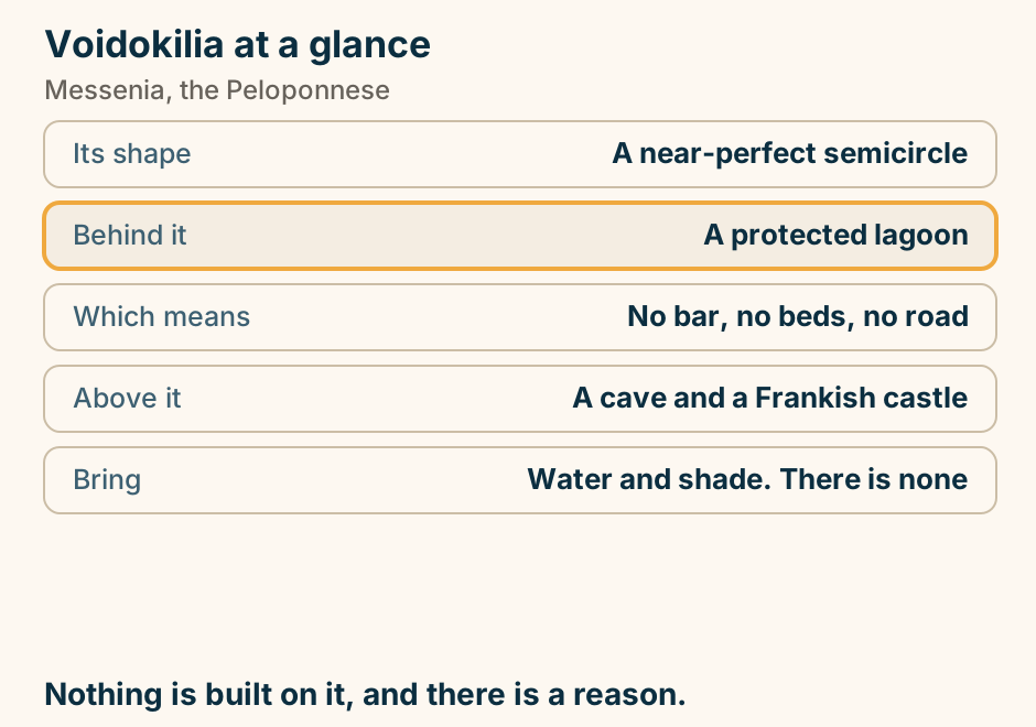
Volos at a glance. The custom: Tsipouradika. How it works: Each round brings a plate. Behind the city: The Pelion villages. From the port: Ferries to the Sporades. Just outside: Neolithic Dimini and Sesklo. Order drinks. Dinner happens to you. Explained on Volos: where ordering a drink brings you dinner. SVG · CC BY 4.0.
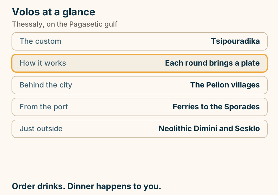
Volos to Skiathos at a glance. Shortest crossing: Of any mainland port. Also from: Agios Konstantinos. Not from: Piraeus, at all. Takes cars: On the conventional boats. Before you sail: The tsipouradika. The quickest crossing to the Sporades. Explained on Volos to Skiathos: the crossing Piraeus cannot give you. SVG · CC BY 4.0.
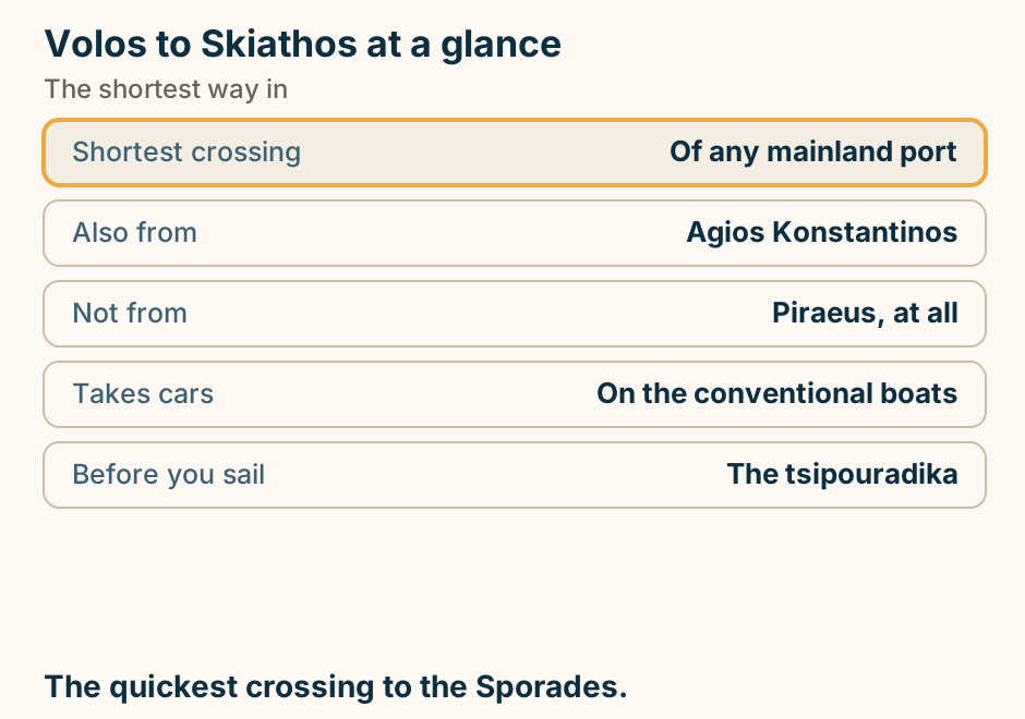
Volos to Skiathos: the crossing. A single line runs from Volos to Skiathos, marking the crossing. The Sporades gateway Piraeus cannot give you. Explained on Volos to Skiathos: the crossing Piraeus cannot give you. SVG · CC BY 4.0.
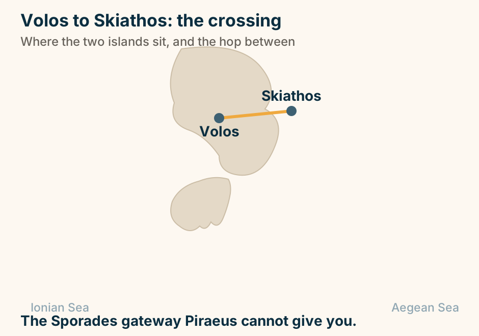
Vytina at a glance. What it is: A fir-forest village. How high: About a thousand metres. The trade: Woodwork and spring water. Above it: A small ski centre. Half an hour on: Dimitsana and the gorge. The Greek mountain weekend, done properly. Explained on Vytina: fir trees, stone houses and very cold water. SVG · CC BY 4.0.
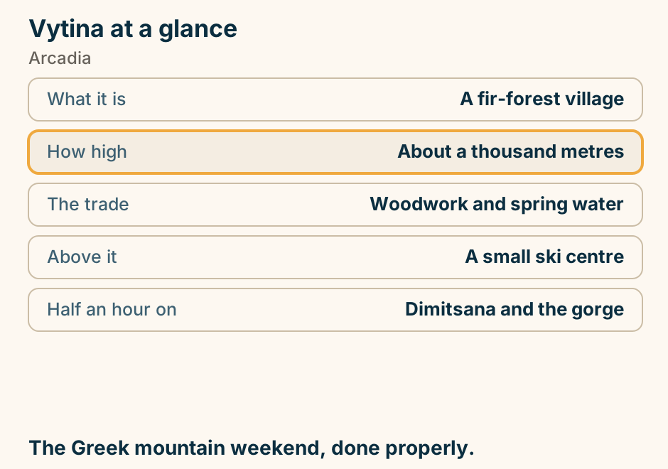
Weddings at a glance. Civil ceremony: At the town hall, and legal. Symbolic: No paperwork at all. What decides the place: Flights and beds for guests. Cheaper and cooler: The mainland. Best months: May, June, September. Guests decide the island. Not the photographs. Explained on Getting married in Greece: what it takes, and where. SVG · CC BY 4.0.
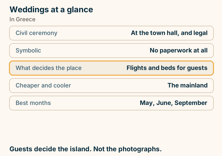
Which island for which honeymoon. A table matching the honeymoon you want to an island and the best window to go. Iconic views and sunsets: Santorini, paired with a quiet island, in late September. Quiet, beach-first seclusion: Milos, Naxos or Paros, in late September. Resort ease and all-inclusive: Crete, Rhodes or Corfu, in June or September. History and variety: Crete, plus a night or two in Athens, in May or late September. Glamour and buzz: Mykonos, in June or September. The first row, Santorini paired with a quiet island, is marked out as the usual choice. Most couples pair an icon island with a quieter one. Explained on Greece honeymoon: which island, when to go, and what to spend. SVG · CC BY 4.0.
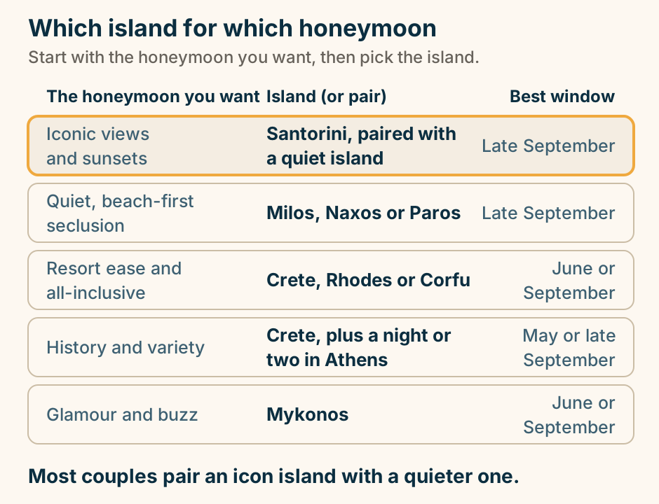
Xanthi at a glance. The old town: Merchants’ painted mansions. Who built them: Tobacco money. In the same streets: Churches and mosques. Before Lent: The north’s largest carnival. West of it: The Nestos gorge. A hillside the tobacco trade paid for. Explained on Xanthi: a hillside of mansions the tobacco trade paid for. SVG · CC BY 4.0.
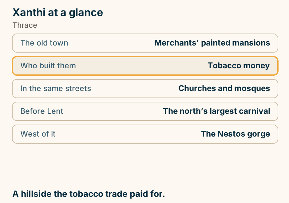
Xylokastro at a glance. What it is: A gulf resort town. Its one feature: Pine forest on the beach. The shore: Pebble, and deep water. Twenty minutes up: Fir forest at Ziria. From Athens: About an hour and a bit. Shade at the beach, a mountain behind. Explained on Xylokastro: the Pefkias wood, and the gulf behind it. SVG · CC BY 4.0.
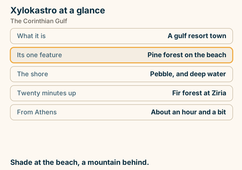
You drive onto Evia over the bridges at Chalkida, so pick the entry that matches the end you sleep at. A schematic orientation map of Evia, drawn as one long island running north-west to south-east, with the mainland alongside it to the south-west. The island is split into three zones: the north, which is spa coast around Loutra Edipsou; the centre, which holds Chalkida, the capital, and Eretria; and the south, which climbs into mountains around Karystos and Mount Ochi. At Chalkida the strait pinches, and two bridges cross it: the new high bridge, which carries the through-traffic, and the old sliding bridge in town, where you watch the current reverse. A road runs down the mainland to Athens. Three car ferries cross from the mainland instead, one landing on the northern spa coast, one on the central coast near Eretria, and one in the south, so a traveller can skip the drive down a long island by choosing the crossing that matches where they are sleeping. Explained on Evia, Greece: the second-biggest island, no ferry needed. SVG · CC BY 4.0.
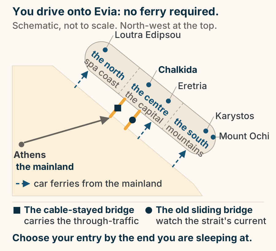
Zagori at a glance. What it is: Forty-six stone villages. Through it: The Vikos gorge. The through-walk: Six hours, no signal below. Its emblem: Arched packhorse bridges. The roads: Narrow. Snow in winter. The best walking country in Greece. Explained on Zagori: forty-six stone villages and a gorge you look into. SVG · CC BY 4.0.