Halkidiki hangs off northern Greece as three long peninsulas, and Sithonia is the middle one. Kassandra to the west is the developed leg; Athos to the east is the monastic republic; Sithonia is the green one in between.

Diagram by Greece Trips. Free to reuse with credit - CC BY 4.0.
It is pine-covered, deeply indented, and organised around a single coastal ring road that takes a comfortable day to drive.
The ring road
That road is the way to understand Sithonia. Running clockwise from Nikiti it passes:
- Kalogria, Lagomandra and the west-coast beaches, sandy and shallow.
- Toroni and Porto Koufo at the southern tip, the latter a near-enclosed natural harbour, the deepest in Greece, that the German navy used in the Second World War.
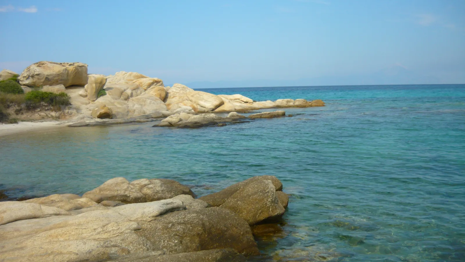
- Kavourotripes and Orange Beach on the east side, a run of small sculpted coves in pale rock that are the most photographed part of the peninsula.
- Vourvourou, in the north-east, a low-key resort scattered along a shallow bay with a cluster of small islands offshore that people take boats out to.
The view
From the east coast the whole of Mount Athos stands across the gulf, and on a clear evening it is a remarkable thing to look at: a 2,000-metre pyramid rising straight out of the sea at the end of the third peninsula.
Athos itself is a self-governing monastic republic that admits only men, by permit, and no women at all. Boat trips from Ormos Panagias run along its coast at a legal distance, which is how most visitors see the monasteries.
What it is like
Low-rise and family-oriented rather than glamorous. There are hotels and campsites rather than resorts, tavernas at the beaches, and a long Greek domestic season: this is where Thessaloniki goes.
Getting there and how long
Thessaloniki airport is about an hour and a half from Nikiti. A car is essential, since the peninsula is the road.
Five nights, or a week, which is how most people use it.
Last checked August 2026. Boat trips and seasonal openings change - see our editorial policy.
Common questions
Where is Sithonia?
The middle of the three peninsulas of Halkidiki in northern Greece, between Kassandra and Mount Athos, about ninety minutes from Thessaloniki.
What is the best way to see Sithonia?
Drive the coastal ring road. It takes a comfortable day and passes essentially every beach and village on the peninsula.
Can you see Mount Athos from Sithonia?
Yes, clearly, from the east coast across the gulf. Boat trips from Ormos Panagias run along the Athos coastline at the permitted distance.
What is Porto Koufo?
A near-enclosed natural harbour at the southern tip of Sithonia, the deepest in Greece, used as a naval base in the Second World War.
Is Sithonia developed?
Much less than neighbouring Kassandra. It is low-rise, pine-backed and largely domestic Greek tourism.
Next
Read Thessaloniki, Thassos, or Edessa.