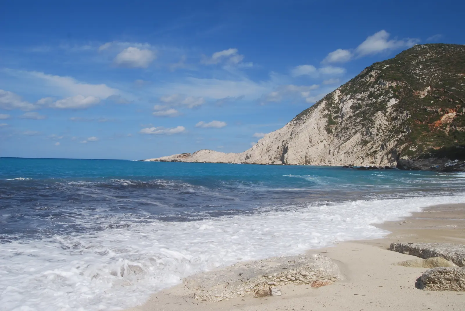
It is quieter than Myrtos, and not because nobody has heard of it. Paliki is a separate lobe of the island behind a long narrow gulf, so arriving here is a decision rather than a stop on the way somewhere. The bay opens due west onto open sea, which is why people drive down for the evening and why the water can be rough by mid-afternoon.

Diagram by Greece Trips. Free to reuse with credit - CC BY 4.0.
Paliki is a different lobe of the island
On a map Kefalonia reads as two masses, not one. The Gulf of Argostoli runs 13 km north to south and 2 to 3 km wide down the whole eastern side of Paliki, opening to the Ionian in the south and leaving the peninsula attached to the rest of the island only at its north-eastern corner. Argostoli and Lixouri face each other across that water, joined by a local ferry.
The standard Kefalonia day runs north to Myrtos, Assos and Fiskardo, or east to Sami and the caves, and neither route comes near here. To reach Petani you either cross the gulf or drive around the head of it, and that one decision is what keeps the coach traffic away. The island guide sets out how the distances actually work.
Mountains of up to 500 m cover the western and northern part of the peninsula, which is why the road to a west-coast bay climbs before it drops. Paliki is seismically active ground: Geophysical Journal International put the deformation of the two Cephalonia earthquakes of January and February 2014 on this peninsula.
The shore is pebble, whatever the photographs suggest
Petani is a pebble beach. The stones are pale, smooth and small, mixed with coarse grit, and they photograph as sand. That is why the guides split on the word, and why review after review recommends water shoes.
The guides genuinely disagree. Four guide pages and the traveller reviews describe pebbles or smooth stones; two call it sand, one of them golden sand. Our own island guide lists Petani under pebble, and the whole coast is mapped by shore type in the Kefalonia beaches guide.
The shore banks steeply rather than shelving out, and depth arrives within a few metres. The bottom changes as fast as the gradient: rock benches in places, then the drop, with some of the underwater rock reported as slippery. Whether that suits a given swimmer on a given day is not a judgement a web page can issue. The person standing in it, the flag and any lifeguard actually on duty decide that.
People report the sea here feeling cooler than elsewhere on the island. The two sources that say so explain it in incompatible ways, so the observation stands and the cause does not.
It faces west, and that is one fact rather than two
There is nothing between this shore and open sea, and that one fact explains both halves of a day here.
It is why the bay is a sunset beach. The sun goes down into the water in front of you rather than behind a headland, and people drive over for the last hour of it. Look up the sunset time for your own date.
It is also why the swell arrives. Guide pages report that there are usually big waves here, and the loudest recurring theme across the traveller reviews is to check the wind before committing a day to this beach. Wind and swell reach this coast before they reach the sheltered bays on the other side of the island.
What people actually do is swim in the morning, when the sea is more often calm, and come back in the late afternoon for the light. That is a pattern rather than a promise, so check the forecast for the day you have.
The road over the hill, and the parking that fills
The approach runs west out of the Lixouri side of the peninsula through the hill villages, and the last stretch drops between the cliffs into the bay, tightening into narrow turns near the bottom. It is asphalted.
The descent passes a point where the whole bay opens below at once, and it is worth stopping before you carry on down. Our Corfu and Kefalonia comparison already says this island’s headline beaches are as much a view from the clifftop as a swim. Petani is the specific case.
Parking is at the bottom, part paid and part free, and the space is limited. It fills on high-season days, and the advice repeated across the traveller reviews is to arrive early. Every guide we could open assumes you arrive by car or scooter. The bay also reads differently on a day when a cruise ship is in port, which is checkable in advance.
What is waiting at the bottom
Partly organised is the honest description. In season there are sunbeds and umbrellas for hire, showers and toilets, and a couple of places to eat above the bay. Hire is set on the beach and charged by the day, so ask before you sit down.
The bay is backed by hillside and cliff rather than by a resort strip, and the cliffs stand behind and beside it rather than over it, so the shade is thin and mostly hired or carried in.
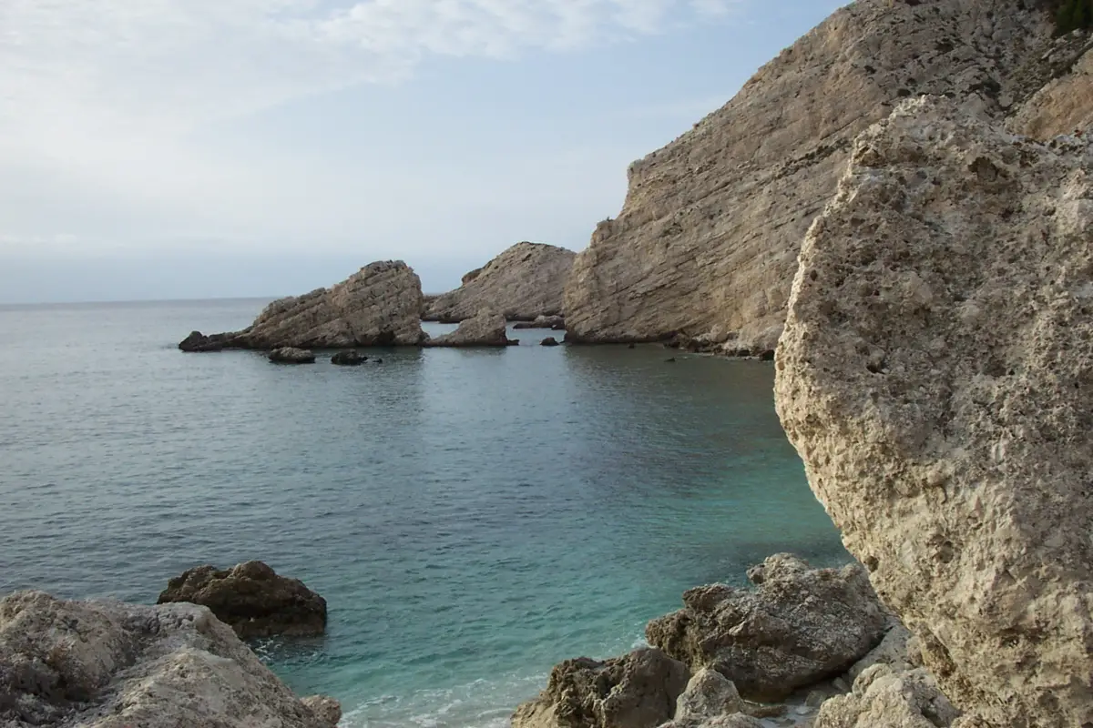
It fills from the middle of July to the end of August, and it is quieter than Myrtos in the same week. Quieter is not empty.
Who should cross the gulf for it
Cross the gulf for it if you are building a Paliki day, if you are based on the Lixouri side, or if you have already seen Myrtos and want the same kind of bay with fewer people in it.
Spend the day elsewhere if you want shallow, sandy, walk-in swimming, or if the one free day you have is a windy one. Antisamos sits on the sheltered east coast under the same kind of cliffs, and if quiet is the whole point of the trip, the quietest Greek islands makes that argument at island scale.
The stones and the crossing are not drawbacks to apologise for. They are the reason it is still quieter than Myrtos in the second week of August.
The sunbeds here are hired on the beach on the day. What a Paliki trip needs booked ahead is a room and a car, and where to stay on Kefalonia sets out the bases.
Common questions about Petani beach
Where is Petani beach in Kefalonia?
Petani is on the west coast of the Paliki peninsula, north-west of Lixouri, on the far side of the Gulf of Argostoli from the rest of Kefalonia: a deep bay of pale pebbles between limestone cliffs. It also appears as Petanoi or Petanous. It is not on the road that carries visitors to Myrtos, Assos and Fiskardo, which is why it stays calmer.
Is Petani beach sand or pebbles?
Pebbles. Pale, smooth and small, mixed with coarse grit, and they photograph as sand, which is why the guides disagree and two of them write sand. The traveller reviews and our own island guide both say stones. Reviewers repeatedly recommend water shoes, and the shore banks steeply rather than shelving out.
What is the best time of day to go to Petani beach?
Mornings are more often calm and are when people swim. Late afternoon and evening are what this west-facing bay is known for, because the sun sets straight into it. The bay is open to the western sea, so wind and swell reach it before they reach the sheltered beaches, and checking the forecast before committing a day is the most repeated advice in the reviews.
Can you get to Petani beach without a car?
Most people drive. Every guide we could open assumes a car or a scooter, and one states that boat trips and daily excursions here are not common. A journey-planning aggregator lists a bus between Lixouri and Petani, which we could not corroborate against a published timetable, so check locally before planning a day around it. Buses and car hire are covered in the Kefalonia guide.
Is Petani better than Myrtos?
They are the same kind of Kefalonian bay, pale stones under high pale cliffs, on different lobes of the island and facing different ways. Myrtos is a stop on the main north road, which is why the coaches reach it, and Petani is across the gulf. Myrtos has the famous view from the road above. Petani has the open western horizon and the evening sun in it.
What is the water like at Petani beach?
The shore banks steeply, so depth arrives within a few metres. The bottom changes fast, from rock benches to a drop, and reviewers describe some of the underwater rock as slippery. Guide pages report that there are usually big waves here. Two sources report the water feeling cooler than elsewhere on the island and explain it differently, so we report what people notice and not why.
Last checked July 2026. What gets re-checked on this page is how the bay is organised in season, the parking arrangement at the bottom, and whether any scheduled service reaches it. No price, fare, distance in minutes, beach length or venue name appears here by design. How we check and date our facts.