Island group
Cyclades (the northernmost large island of the group), South Aegean, Greece
Getting there
ferry from Rafina (the smaller Athens-area port), roughly two hours and appreciably less on the fastest vessels, docking at Gavrio on the north-west coast; operators Fast Ferries, Golden Star Ferries and Seajets; no airport on the island; the line continues to Tinos and Mykonos
Capital
Chora, on the east coast, some 30 km and about 40 minutes’ drive from the port at Gavrio
Hiking
the Andros Route, a ~100 km waymarked path in ten stages, within a network of over 240 km restored and signposted since 2012, certified a “Leading Quality Trail - Best of Europe” by the European Hiking Federation in October 2015 - the first island in Europe recognised
Museum
Museum of Contemporary Art of the Basil and Elise Goulandris Foundation, Chora, inaugurated 28 July 1979; opens seasonally around a temporary exhibition, roughly mid-June to late September, split day/evening hours, one closed day a week
Best months
late April to mid-June and September into October (warm, green, best for walking, milder wind; July and August are busiest and windiest with the meltemi)
Travel details last checked July 2026.
Andros, Greece: the green Cyclades island most visitors miss
Andros, Greece, is the northernmost large island of the Cyclades, and it looks and behaves nothing like its whitewashed neighbours: green, mountainous and criss-crossed with old footpaths, reached by ferry from Rafina rather than Piraeus. This is Andros in the Aegean, not Andros in the Bahamas, and it is a separate island from Folegandros further south in the same archipelago. Come for walking, slow villages and long quiet days rather than nightlife or the blue-domed postcard: Andros trades the sugar-cube skyline for shipowner mansions, running streams and a hundred kilometres of waymarked trail. It is the Cyclades island Athenians tend to keep for themselves, and the one most first-time planners sail straight past. Its closest cousin in character is Kea, the other green, stone-built walking island within reach of the capital, and the two make an honest pair to choose between.
Where Andros sits, and why it is so green
Andros sits at the northern edge of the Cyclades, out among the Greek islands strung across the Aegean between Attica and the Dodecanese. It is one of the largest islands in the group, roughly 40 km long from top to bottom and about 16 km across at its widest, with a mountainous spine running its length and the island of Tinos just off its southern tip. From Rafina the crossing is short enough that Andros feels close to Athens without ever belonging to it.
The greenness has a mechanism, not just a reputation. Andros is high and exposed, and its mountains catch the moisture that weather carries across the Aegean, so where flatter islands stay bone-dry the interior valleys here hold running water. The result is streams, springs and small waterfalls - the Pythara falls near Apikia are the best known - feeding terraced gardens of plane, walnut, oak and mulberry that belong more to a mainland mountain village than to a Cycladic rock.
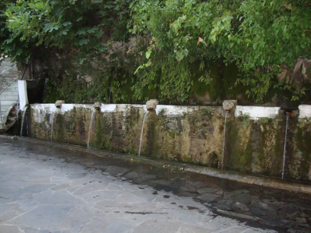
That water shaped the human landscape too. Generations of farmers built dry-stone walls up the hillsides, cut terraces into the slopes for vines and vegetables, and laid stone footpaths between the villages that are still walkable today. Springs became the centre of settlements: Menites, above Chora, is known for its old stone fountains, and the Sariza spring at Apikia gives its name to a bottled mineral water drawn from the same mountain.
The Cyclades are usually shorthand for arid, sun-bleached and treeless, and most of them are. Andros is the fertile exception, and that exception explains almost everything a visitor notices: the walking, the produce on the taverna table, the shade in the valleys, and the wealth that once made the island’s captains rich enough to build the mansions in its capital.

Diagram by Greece Trips. Free to reuse with credit - CC BY 4.0.
Getting to Andros: the Rafina crossing
Ferries to Andros leave from Rafina, the smaller Athens-area port on the east coast of Attica, and take roughly two hours, appreciably less on the fastest vessels, docking at Gavrio on the island’s north-west coast. There is no airport on Andros, so the ferry is the only way in.
Rafina is the quiet advantage. It sits closer to Athens International Airport than Piraeus does, so if you fly in and go straight for the boat, the transfer is often shorter and simpler than the cross-city haul to Piraeus that the southern islands demand. How Greek island ferries work - ports, tickets and boarding - is worth reading once before a first crossing.
Andros is usually the first Cyclades stop on the Rafina line, and the same line carries on to Tinos and Mykonos. That makes the island an easy opening leg for island-hopping the Cyclades rather than a dead end you have to backtrack out of.
Three operators work the route - Fast Ferries, Golden Star Ferries and Seajets - and between them the published crossing runs from about an hour to a little over two, so treat any single figure as a rough guide and check the day’s sailings when you book. The gate and the vessel, not the island, set your departure.
One piece of geography reshapes more first-time plans than any other: the port and the capital are not in the same place. You arrive at Gavrio in the north-west, but Chora, the capital, with the mansions and the museums, sits on the opposite east coast, some 30 km and about 40 minutes’ drive away across the mountainous middle. Nothing you came to see is at the port, which is the first reason a car matters here.
Chora: shipowner mansions and a serious art museum
Andros is one of Greece’s historic shipowning islands, and its capital is grander than its size alone would ever explain. From the 19th century on, families such as the Goulandris and the Embiricos built merchant fleets that grew into some of the largest in Greek shipping, and the money came home to Chora. The result is a capital of neoclassical captains’ mansions, marble-paved streets and a headland town that carries itself like a small city.
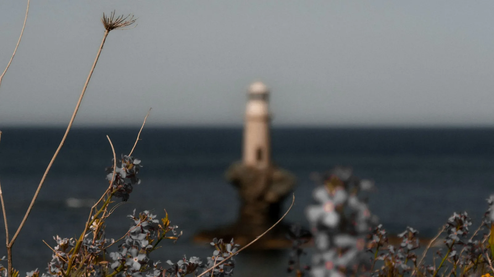
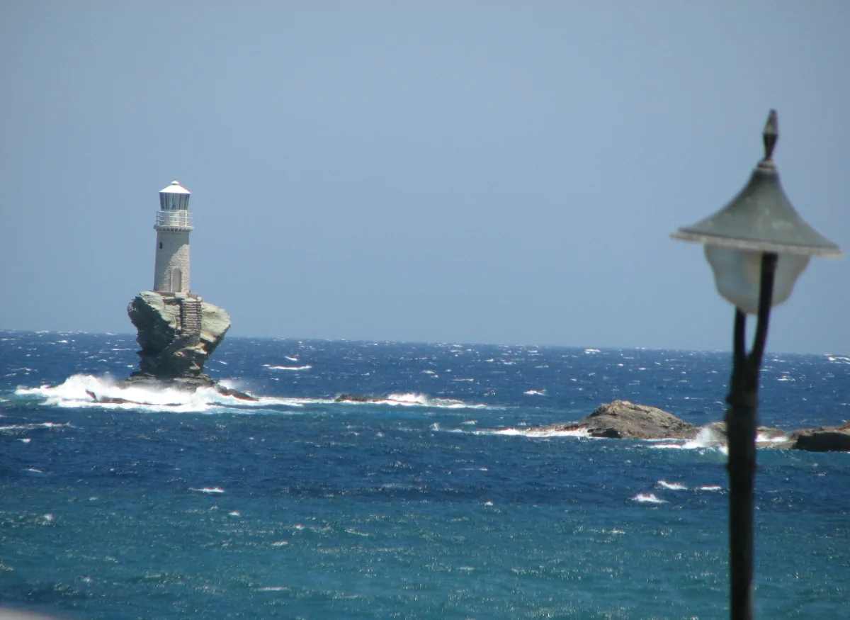
Chora occupies a narrow spit of land reaching into the sea. On a rock just off its tip stands the Tourlitis lighthouse, built directly on a sea stack and rising straight out of the water, a landmark that has become the island’s signature image and a durable one worth naming.
The same maritime wealth bought Andros something almost no other island of its size has: a serious contemporary-art museum. The Museum of Contemporary Art of the Basil and Elise Goulandris Foundation was inaugurated in Chora in July 1979, and the foundation describes it as the first contemporary-art museum in Greece. It opens around a temporary exhibition rather than year-round: the season runs roughly from mid-June to late September, with a split timetable that closes over the hottest part of the afternoon and reopens in the evening, and one closed day a week. Check goulandris.gr for the current exhibition and hours before you plan a day around it.
The museum is the headline, not the whole story. Chora also holds an archaeological museum and a maritime museum that turns the shipowning history into objects and models, and up in the hills at Ano Pitrofos there is a small olive-oil museum in a restored press. Together they give a midday or wet-weather alternative to the beach that most Cycladic islands cannot match, and they reward a slow half-day in the capital rather than a quick photo stop.
Chora is also simply a good place to be at the end of the day: marble streets, a couple of squares, the sea on both sides of the headland, and an evening that stays low-key rather than loud.
Walking Andros: the 100 km Andros Route
This is the reason to choose Andros over a prettier neighbour. The island carries the best-developed walking network in the Cyclades, and the numbers behind it are worth getting right, because most guides get them wrong.
The core facts, sourced to the volunteers who maintain the trails, are these:
- The Andros Route is a waymarked long-distance path of about 100 km, running the length of the island from north to south, broken into ten daily stages of roughly 7 to 15 km.
- It sits within a wider network of over 240 km of paths restored and signposted since 2012, itself only part of a much larger web of surviving old footpaths.
- In October 2015 it was certified a Leading Quality Trail - Best of Europe by the European Hiking Federation, and Andros was the first island in Europe to be recognised under the scheme.
- The routes are cleared, waymarked and maintained by the volunteer group Andros Routes, whose figures are the ones this page follows.
You will find higher numbers elsewhere - 150 km, 200 km, even 300 km turn up in various guides - and the honest reason they disagree is that they count different things: cleared paths, old mule tracks, the certified route. This page trusts the maintaining body’s certified 100 km route and 240 km restored network rather than averaging the competitors; both figures were read on androsroutes.gr in July 2026.
What you actually walk is more persuasive than any total. The paths are old stone kalderimia between villages, edged with dry-stone walls, dropping through terraced valleys past watermills, arched stone bridges, springs you can drink from and the small waterfalls the island’s water makes possible. Much of the network links village to village, so you can walk from one taverna lunch to the next rather than out and back from a car park.
It suits two kinds of walker equally. Day-walkers can take a single stage or a marked loop and be back by evening; committed trekkers can walk the through-route over several days, sleeping in villages along the way. Self-guided walking, following the waymarks and a downloaded map, and guided walking with a local outfit are both options - which you pick is a question of confidence and company, not of whether the trails are there.
Timing matters more here than for a beach trip. The best walking is in the shoulder seasons, spring and autumn, when the ground is green, the streams are running and the temperature is kind. High summer is hot, and the exposed upper stretches catch the wind. The season section below sets out the windows.
Beaches, and the meltemi you have to plan around
Andros has beaches for most moods, and the useful way to sort them is by how organised and how reachable they are rather than by a ranking. Near Gavrio and Batsi on the west coast there are organised, family-friendly bays with sunbeds and tavernas behind the sand; Nimborio sits within walking reach of Chora on the east; and there are long open stretches such as Chrissi Ammos, the golden sand the name promises. At the wilder end are coves you work for: Achla, reached down a track and partly on foot, and Tis Grias to Pidima on the east coast, with its lone rock pillar standing offshore. A handful of names is enough; the island has plenty more.
Then the trade-off that decides which of them you should actually use. Andros faces the meltemi, the strong, dry north wind that sets in over the Aegean through high summer, and because the island sits high in the north of the Cyclades its north- and west-facing beaches take that wind full on. On a blowing day they turn choppy, sand-blasted and cold in the water, while a south- or east-facing cove around the headland can stay calm.
So plan by orientation, not by a single best beach. When the meltemi is up, most likely in July and August, move to a sheltered, south- or east-facing bay and leave the exposed western sand for a still day. Locals do exactly this, reading the wind each morning and choosing the coast to match it. What the Greek sea is actually like day to day is worth understanding before you commit to a beach base.
When to go to Andros
Andros rewards the shoulder seasons more than most Cycladic islands, because its two headline draws - the walking and the green landscape - are at their best exactly when the pure beach islands are past theirs.
Late April to mid-June and September into October are the sweet spots. The days are warm without the summer glare, the trails are green and the streams still run, the wind is milder than in high summer, and the crowds - mostly Athenian rather than international - thin out. For walking, these are the months to book.
July and August are the beach-and-heat months, and the trade-off is real: this is when the meltemi blows hardest and when Athenians fill the island, so it is both the busiest and the windiest stretch of the year. If you come for the sea, come knowing some afternoons may go on chasing a sheltered cove.
The two shoulders differ. Spring is greenest, with waterfalls running and wildflowers on the terraces, while autumn brings the calmest sea and the warmest water over a drier, browner landscape. Outside the season many seasonal services quieten down, with fewer boats and shorter hours, so an off-season trip is quieter in every sense. For the wider picture, see the best time to visit Greece and how shoulder season in Greece works.
Getting around and where to base yourself
On Andros a car changes the trip more than it does on the flatter islands. The port, the capital and the trailheads are scattered across a mountainous island on winding roads, the distances are real - Gavrio to Chora alone is some 30 km and about 40 minutes, and the length of the island is a good deal more than that - and the best beaches and trailheads sit off the bus routes. Renting a car, or a scooter if you are a confident rider on mountain roads, is what most visitors do; the reasoning is laid out in which islands need a car, and the practicalities in renting a car in Greece.
A local bus network run by KTEL Andros does exist and links the main towns - Gavrio, Batsi, Chora and Korthi - with around seven departures a day on the Gavrio-Chora run, timed to meet the ferries and liable to shift when a boat is late. It skips most of the trailheads and the wilder beaches, so it serves a town-to-town trip better than a touring one.
Where you base yourself depends on what you came for, and each of the four options has a clear character:
- Chora, on the east coast, is the one for museums, mansions and an evening with some life in it; the capital’s own beach, Nimborio, is a short walk away.
- Batsi, on the west, is the liveliest beach base, with the most organised sand, family-friendly coves and the shortest run to the port.
- Gavrio, the port itself, suits early ferries and the northern trailheads, at the cost of being the most functional of the four.
- Korthi, in the south, is the quietest and most local, the choice when you want the island at its slowest.
Pick the base for the trip you are planning, and let the car close the distances between them.
Who Andros is for (and who should skip it)
Andros is worth visiting if you want a green, walkable, authentic Cyclades island close to Athens - one with real long-distance hiking, grand mansion towns and uncrowded beaches. It is the wrong island if you came for nightlife, luxury resorts or the white-and-blue caldera postcard, none of which it sets out to be.
It fits a particular traveller well: walkers and nature-lovers first, then couples wanting quiet, families who value calm beaches, springs and short trails over a resort strip, Athens weekenders after a fast reset, and island-hoppers who can pair it with Tinos next door or carry on to Mykonos down the same ferry line.
The evenings are the honest mismatch to name plainly: this is a low-key island, a handful of bars in Chora and Batsi rather than clubs and late music, and if that is the holiday you want, the same boat that brought you can take you on to Mykonos. Andros is the island Athenians keep for themselves, better walked than photographed.
Andros FAQ
Where is Andros, Greece?
Andros is the northernmost large island of the Cyclades, in the Aegean east of the Greek mainland, reached by ferry from Rafina near Athens. It is a separate island from Folegandros, and unrelated to Andros in the Bahamas. Boats dock at Gavrio; the capital, Chora, sits on the opposite coast. See the Cyclades.
How do you get to Andros?
By ferry from Rafina, the smaller Athens-area port, in roughly two hours and appreciably less on the fastest vessels, arriving at Gavrio on the island’s north-west coast. There is no airport on Andros. The same line continues to Tinos and Mykonos. More in Greek island ferries.
Is Andros worth visiting?
Yes, for walkers and travellers wanting a green, authentic, uncrowded Cyclades island close to Athens; less so for nightlife-seekers or those set on the classic white-and-blue postcard. Its standout draw is the 100 km waymarked Andros Route, one of the best island walking networks in Greece.
Do you need a car in Andros?
Effectively yes for most visitors. The port, the capital and the trailheads are spread across a mountainous island, and the local buses are infrequent and skip most beaches and trails. A scooter works for confident riders on mountain roads. See which islands need a car.
How many days do you need in Andros?
Three to five days suits most visitors - enough for Chora, a couple of beaches and one or two walks. Add days if you plan to hike the Andros Route in stages; keep it shorter if the island is one stop on a wider Cyclades hop. It rewards a slower pace than most.
Is Andros good for hiking?
Yes - it is one of Greece’s best hiking islands. The 100 km waymarked Andros Route runs the length of the island within a network of over 240 km of signposted paths, and in 2015 it was certified a European Leading Quality Trail - Best of Europe, the first island in Europe to be recognised. Spring and autumn walk best.
When is the best time to visit Andros?
Late spring, from late April to mid-June, and early autumn, September into October: warm, green, best for walking, quieter, and with milder wind than high summer. July and August bring the beaches but also the strongest meltemi and the biggest crowds. See shoulder season in Greece.
Is Andros a party island?
No - Andros is a quiet, family-and-hiker island, and its evenings mean a handful of bars in Chora and Batsi rather than clubs. That low-key character is the point of the place for the people who choose it. If you want nightlife, the same ferry line reaches Mykonos.
Plan by category
The Andros guides
4 guides, each scoped to a decision you actually have to make.
 Attractions
Things to do
See the attractions →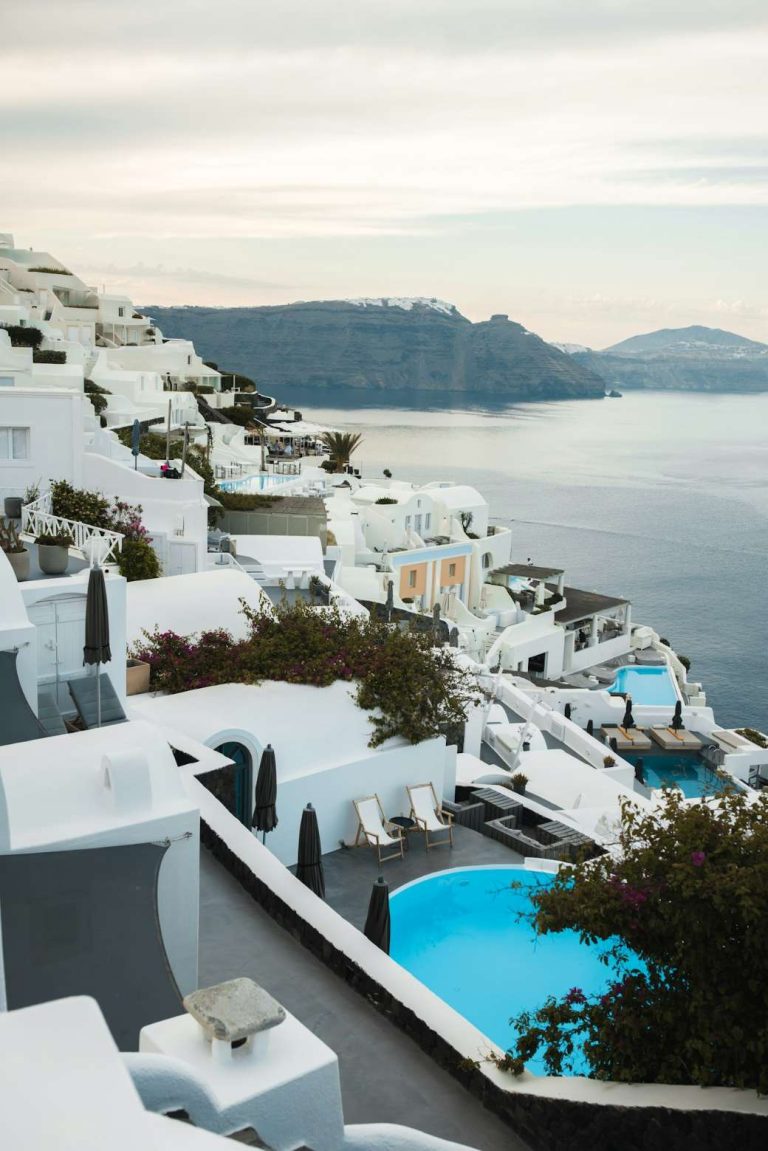 Hotels
Where to stay
Compare the areas →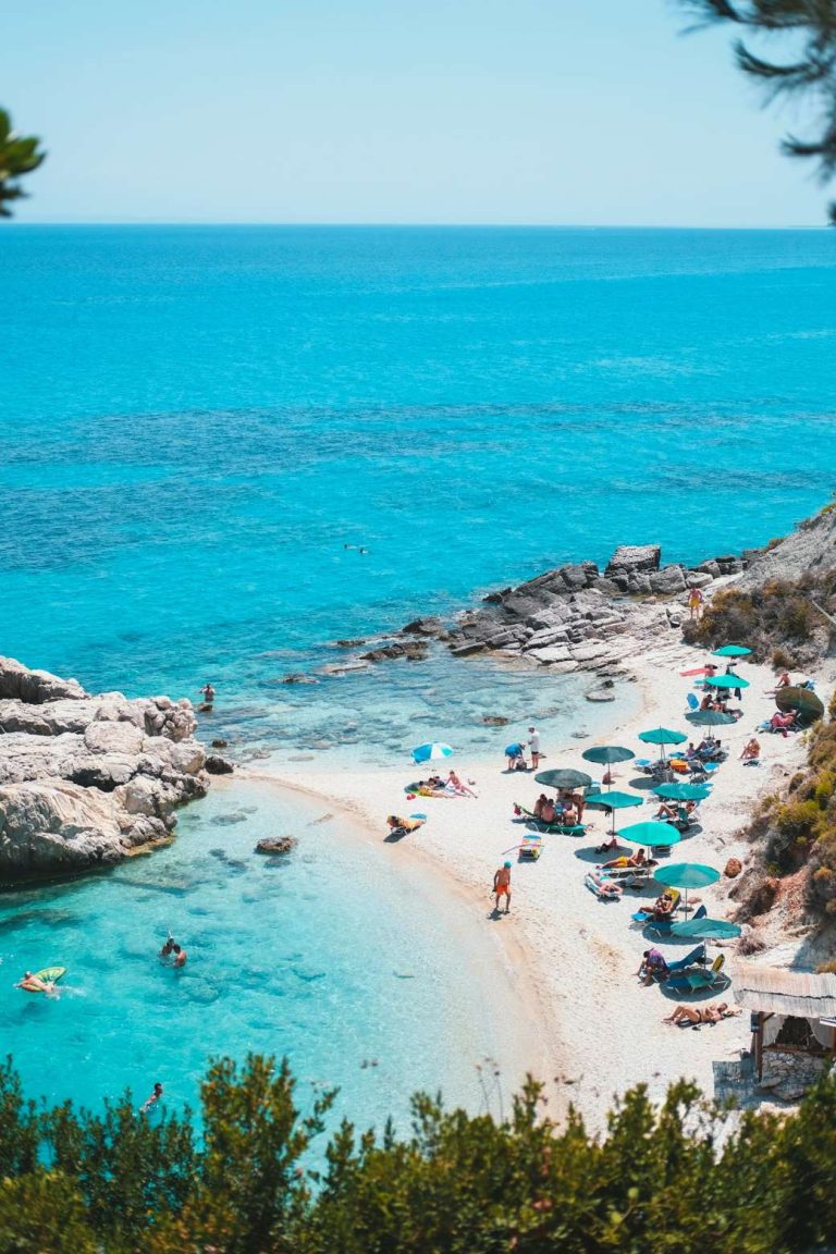 Beaches
The beaches
See the beaches →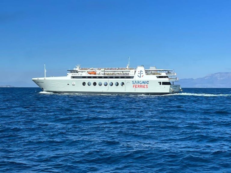 Itinerary
Day by day
See the itinerary →
Booking
We sell nothing and book nothing for you. Every guide on this page tells you how to arrange each piece yourself - which ferry operator, when to book, what to prebook and what to leave loose.